With yet another nice weekend forecast we decided to make the most of the late autumn sunshine and head out for a local walk here in Christchurch. We had read about the World War II fortifications at Goodley Head and decided to take the clifftop path over to look at them.
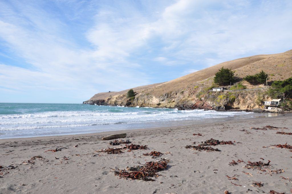
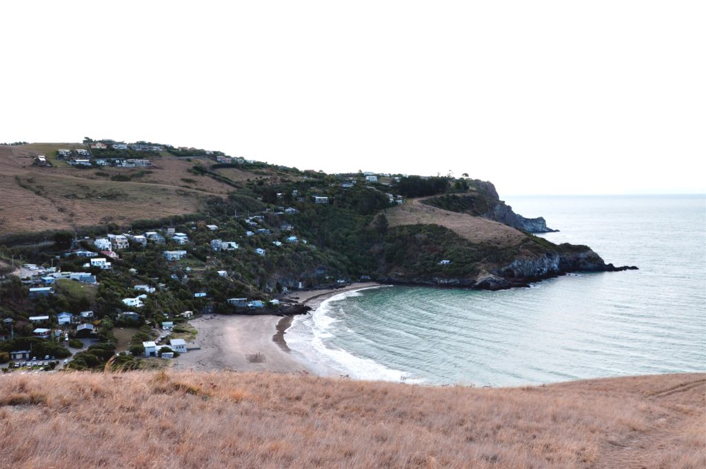
We drove to Taylor’s Mistake a small cove at the southern end of Christchurch and had a picnic on the beach before starting our hike. We contemplated who the Taylor was and what his mistake turned out to be, but it turns out that there isn’t a simple explanation as to whom the mistake can be attributed to! There is a great explanation on the Christchurch Library Website, but the short answer is despite more than one Captain Taylor running into difficulties here, neither are likely to be the ones after which the bay is named!
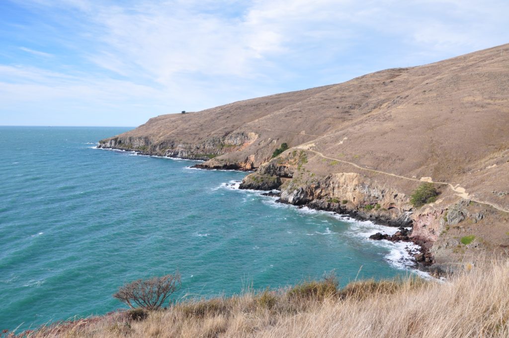
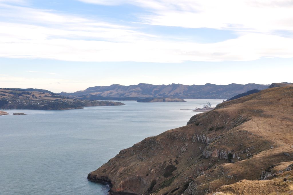
After enjoying our picnic lunch on the beach we headed out along the cliffs towards Goodley Head. The track ran along the very cliff edge giving us great views out to sea.
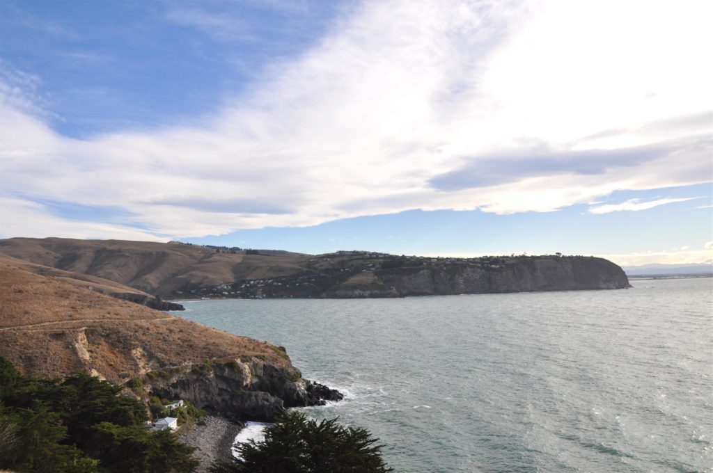
We stopped off at the small settlement of Boulder Bay to take a look at the historical Baches (beach cottages) tucked into the cliffs. Back on the clifftop path we could could look down on the cottages and see out across the bay to the cliffs at Sumner and could even see New Brighton beach in the distance.
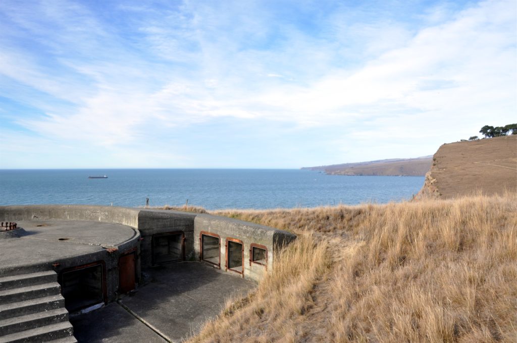
 We eventually came upon the first of the military installations at Goodley Head, a gun emplacement. The location on the clifftops had a great view across the entrance to Lyttleton harbour.
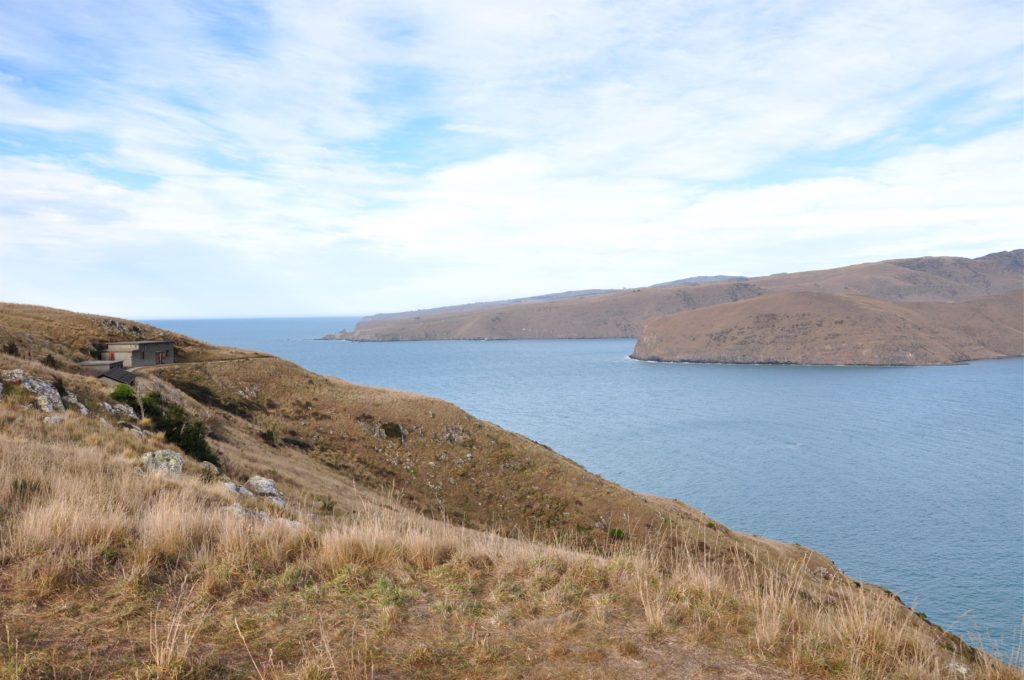
The trail continued on around the headland and after passing many more disused military buildings that were closed off as they had become unstable in the earthquake, we came to a series of buildings cut into the hillside.
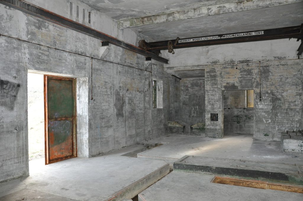
The military camp here was entirely self sufficient and had its own power supply. Whilst the generators have been removed, you could still walk through the building that had housed them, complete with a gantry from Loughborough in England!
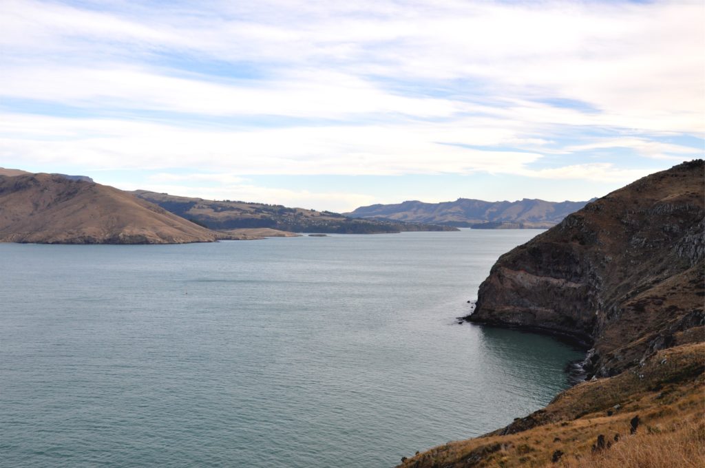
The next building had housed a firing calculator; a scale model of the area which allowed them to practice and plan for any future attack. They certainly had great views from their rooms perched high on the hillside, looking down Lyttleton harbour towards Governor’s Bay.
Despite all of this military defense activity, we were surprised to learn that in 1941 the German ship Adjutant reported laying 10 mines across the entrance to Lyttleton harbour. Despite the lookouts stationed on the cliffs at Goodley Head looking out over the entrance to Lyttleton Harbour the mine-layer was never definitively spotted. Luckily, the mines were never detonated and to this day, despite a recent dredge of the harbour entrance, the mines have never been found.
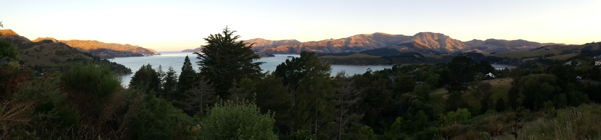
We continued our hike up to the top of the cliffs and had a great view down to Lyttleton and over to Governor’s Bay in the distance.
We took the inland route back which followed the crater rim walkway for a short distance before heading off on a mountain bike track back towards Taylor’s Mistake.
The last part of the hike was a little steep, but gave us great views down over Taylor’s mistake.