Around 1915 Harry Ell proposed a summit route from Christchurch to Akaroa, on a track that would follow the rim of the caldera around the Banks Peninsula. Along this route he planned a series of rest houses which were built of local stone. The furthest hut from Christchurch is the Sign of the Packhorse Hut which is perched on the crater rim with great views over the harbour.
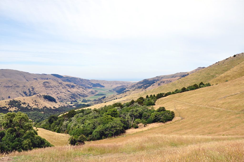
Rather than taking the original ridge route, we drove around the Banks Peninsula to climb up the back side of the caldera. The track starts in the lush Kaituna Valley, but quickly starts climbing up through patches of native forest. We continued to follow the steep farm track through fields of sheep towards the ridge.
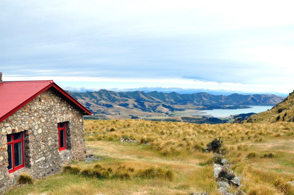
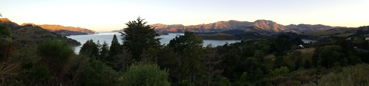
After a while we made our way over the ridge, right next to the Sign of the Packhorse hut. From the saddle we had great views out across the Banks Peninsula looking over Governor’s Bay towards Dyers Pass, the road Christchurch. The hut is now a DOC tramping hut and we took advantage of the picnic benches outside to enjoy our lunch before heading back.
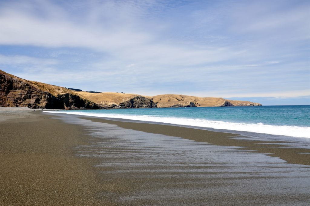
On the way back to Christchurch we made a quick stop at Birdling’s Flat, a pebble beach that forms part of the Kaitorete Spit on the shore of Lake Ellesmere. The area is known for the dolphins, whales and fur seals that often come here, although we didn’t spot any we did enjoy watching the waves for a while.