We woke up to another sunny morning for our last day on The Old Ghost Road track. After a leisurely breakfast we set out on the trail eager to try and cover the final seventeen kilometers (10.5 miles) in time for a late lunch at the lodge at the end of the track.
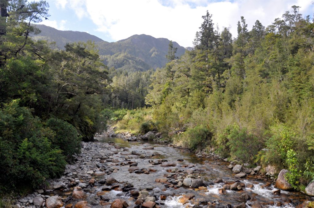
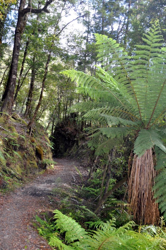
We started by crossing a large swing bridge over Specimen Creek before entering back into the dense West Coast forest. As we descended closer to the coast, the vegetation started changing and the track was lined with huge tree ferns.
After following the old dray road through the forest for a while, we came to a series of raised metal walkways strung high above the river. The photos don’t really do justice to the narrow walkways that crossed gullies and waterfalls on one side whilst being completely open to the river far below on the other side.
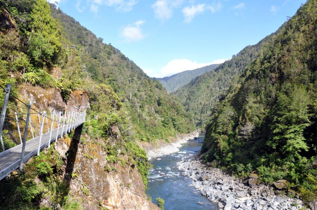
From our vantage point on the high walkways, we had a great view of the river and marveled at how clear it was. Despite the clear water, we did notice that there was a distinct lack of fish; the brown trout that supposedly inhabit this section of stream were nowhere to be seen.
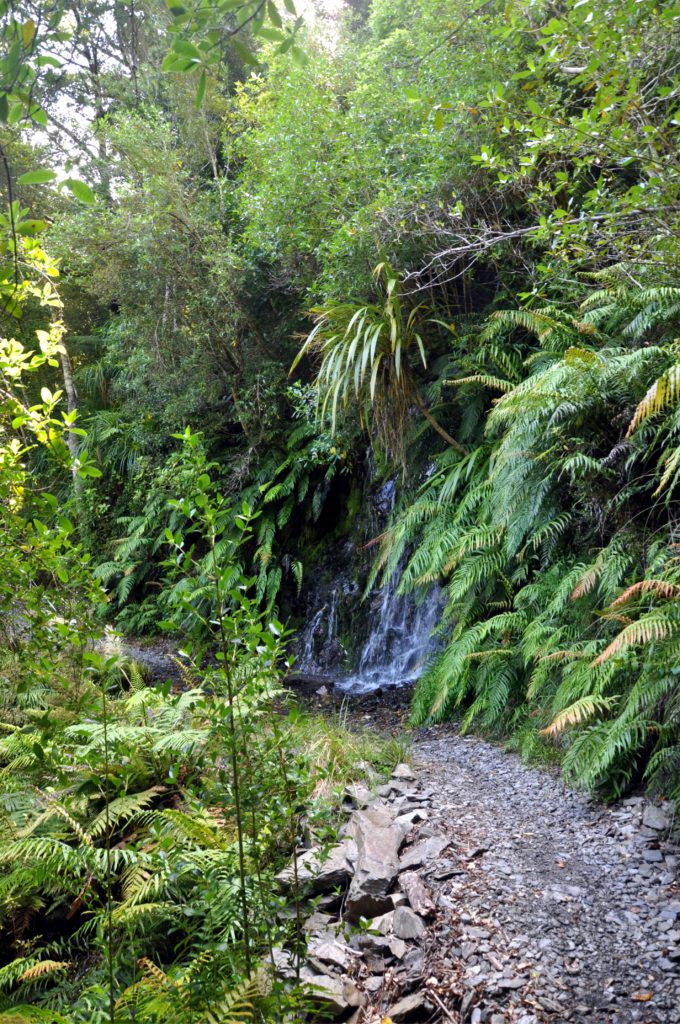
We continued on downstream, making good progress on the well benched track above the river. With each bend in the river the landscape changed, from rushing rapids, to deep pools and back again.
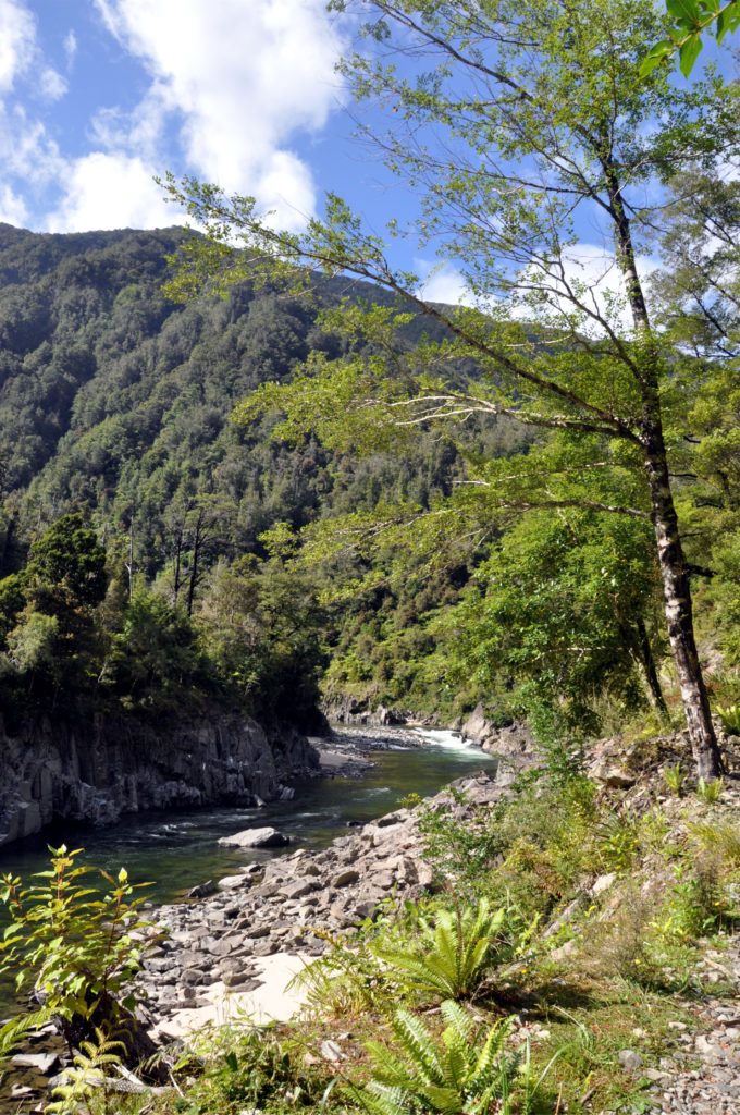
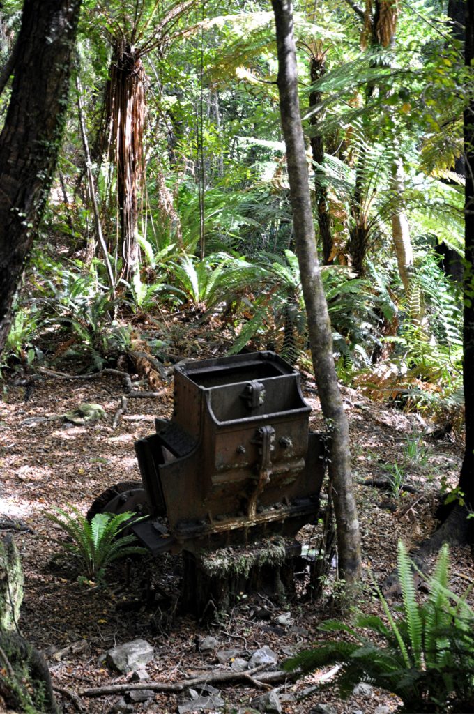
Partway down the valley we came to the site of the former settlement of Seatonville. In the height of the gold rush in this area, this town served the nearby Red Queen Mine as well as other prospecting sites up and down the valley. After trying to guess the purpose of some of the equipment left in the bush, we continued on our way, lured by the promise of some real food for lunch.
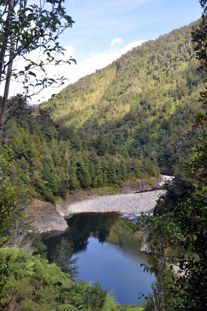
As we continued downstream, we started to see more and more deep pools at the side of the river, but with no way down through the steep forest, it was impossible to tell whether these were where the trout were hiding.
As we counted down the kilometer markers at the side of the track we realised that we would once again make it to the end of a track on the West Coast without needing our rain jackets. The coastal section of the West Coast gets between 2,000 and 3,000 millimetres (6.5 – 9.8 feet) of rain a year, but higher in the mountains around Lyell Saddle annual rainfall can be as high as 10,000 millimetres a year (almost 33 feet), so being able to stay almost completely dry made us feel pretty lucky.
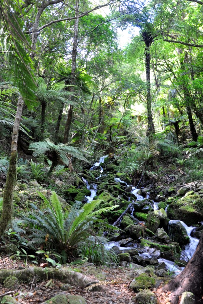
Although we had stayed mostly dry, we continued to cross small side streams and gullies as we descended down the valley. Many of the crossings were just fords which took some careful balancing on tired legs with big rucksacks. I would imagine that this section of track would be a lot more challenging after some heavy rain, when the river levels are higher.
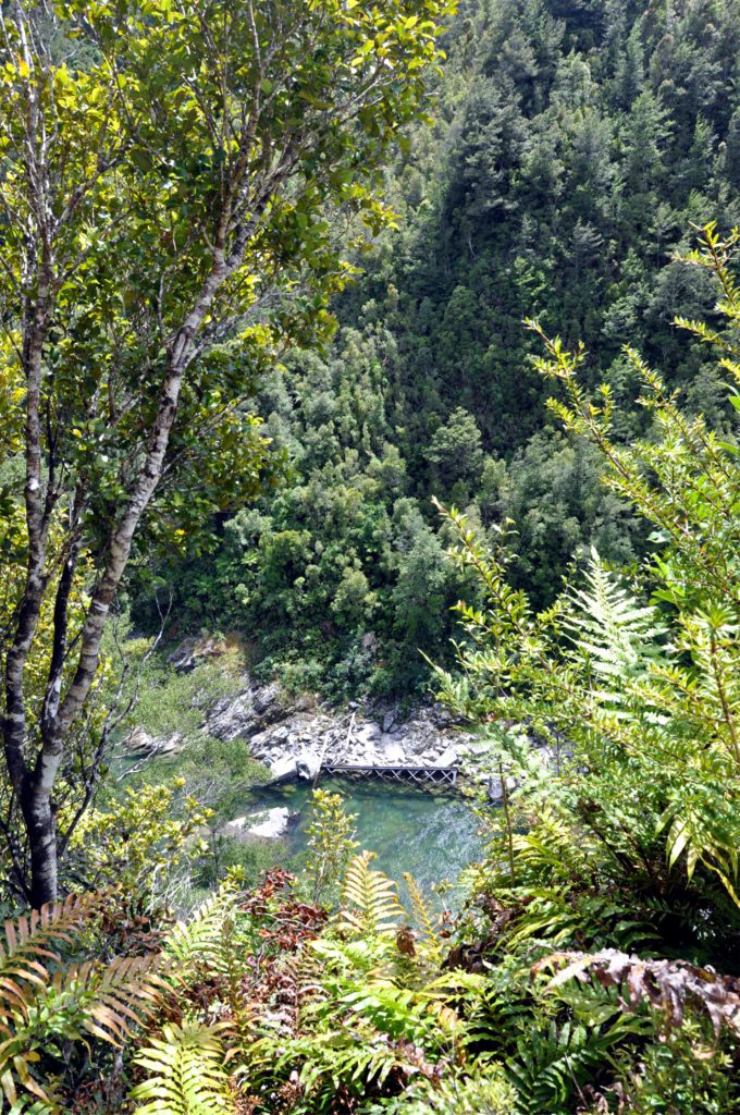
As we came towards the end of the track, there was yet another reminder of the impact earthquakes have had on this area. During the 1929 Murchison Earthquake the centre pier of the iron bridge that spanned the Mokihinui River here collapsed. This bridge formed part of the first overland route to the town of Karamea, further up the coast and provided access to a number of mines in this area. Despite the central pier collapsing, the bridge remained standing for several weeks before collapsing under its own weight. The damage to the bridge and other parts of this route to Karamea were too costly to repair and the track was abandoned in favour of a new coastal route over the Karamea Bluffs.
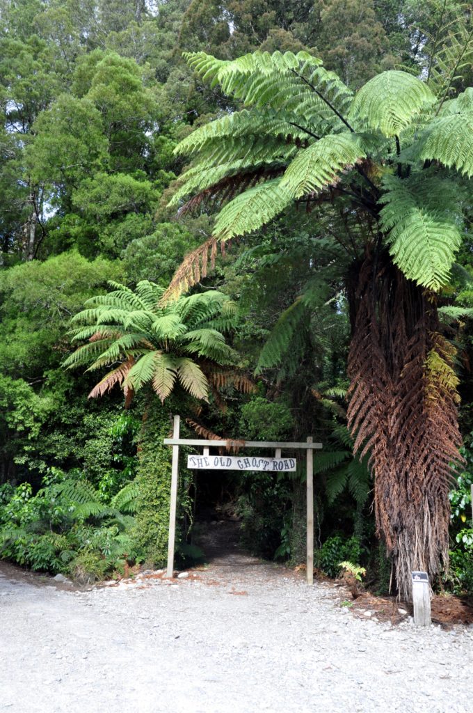
The last section of the track was pretty easy and allowed us to make good time as we gradually descended through the final part of the Mokihinui River valley. As we passed the last, eighty-five kilometre (53 mile) marker we could almost smell the real food cooking for lunch. Before we knew it, we had passed under the gate at the end of the trail and were sitting on the deck of the lodge enjoying a well earned meal and beverage.
We really enjoyed our trip on The Old Ghost Road; the variety of landscapes and the mix of hard and easy hiking days made for a great trip and the comfy little sleepouts helped add a bit of luxury to the trip. We are already planning a return trip, this time on our mountain bikes.
