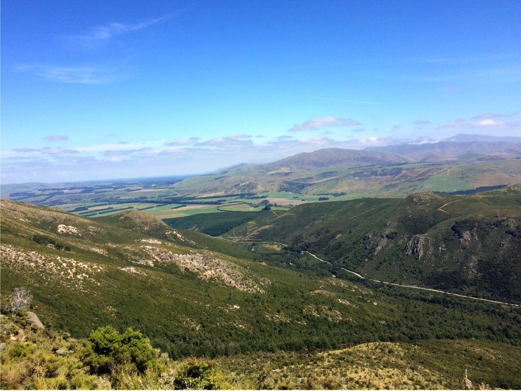
In early February we set off into the foothills behind Christchurch to explore the area around Mount Somers. The area is at the edge of the Canterbury Plains but the track we took climbed quickly into the mountains.
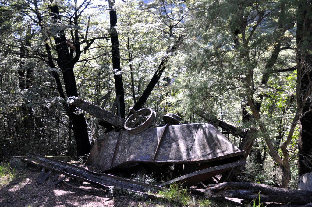
The trail followed the route of an old tramway that was constructed to transport coal from the area in the 1850s. We passed several abandoned coal carts and other parts from the tramway in amongst the trees.
 The hiking trail continued to climb steeply up to the entrance of the old Blackburn mine. The mine here started after the discovery of coal in the 1850’s but didn’t operate for very long.
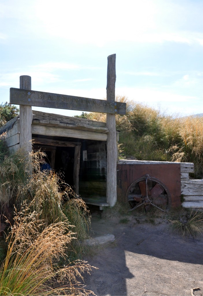
The mine briefly reopened in the 1930’s but again, wasn’t able to stay in operation for very long. As we explored the area around the mine, looking at the steep drop from the mine entrance back towards the valley, it is easy to see how they struggled to get the coal out and the miners into the mine every day.
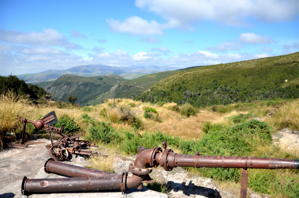
We continued up the valley towards the Woolshed Creek hut; one of the Department of Conservation huts that you can stay in overnight. The trail followed a ridge which meant we had good views looking further west into the Alps towards Mount Cook National Park in the distance.
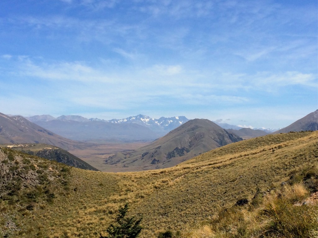 Shortly afterwards we got our first glimpse of the Woolshed Creek Hut nestled in the valley (towards the bottom left of the picture below).
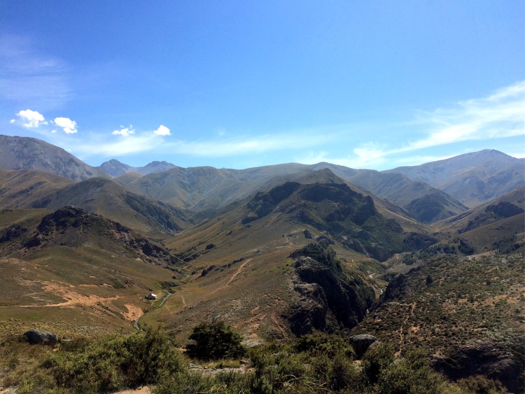
From our vantage point we also got a glimpse of the return trail. We took the Mount Somers (South Face) track back to the carpark which crossed the valley in the right of the photo above.
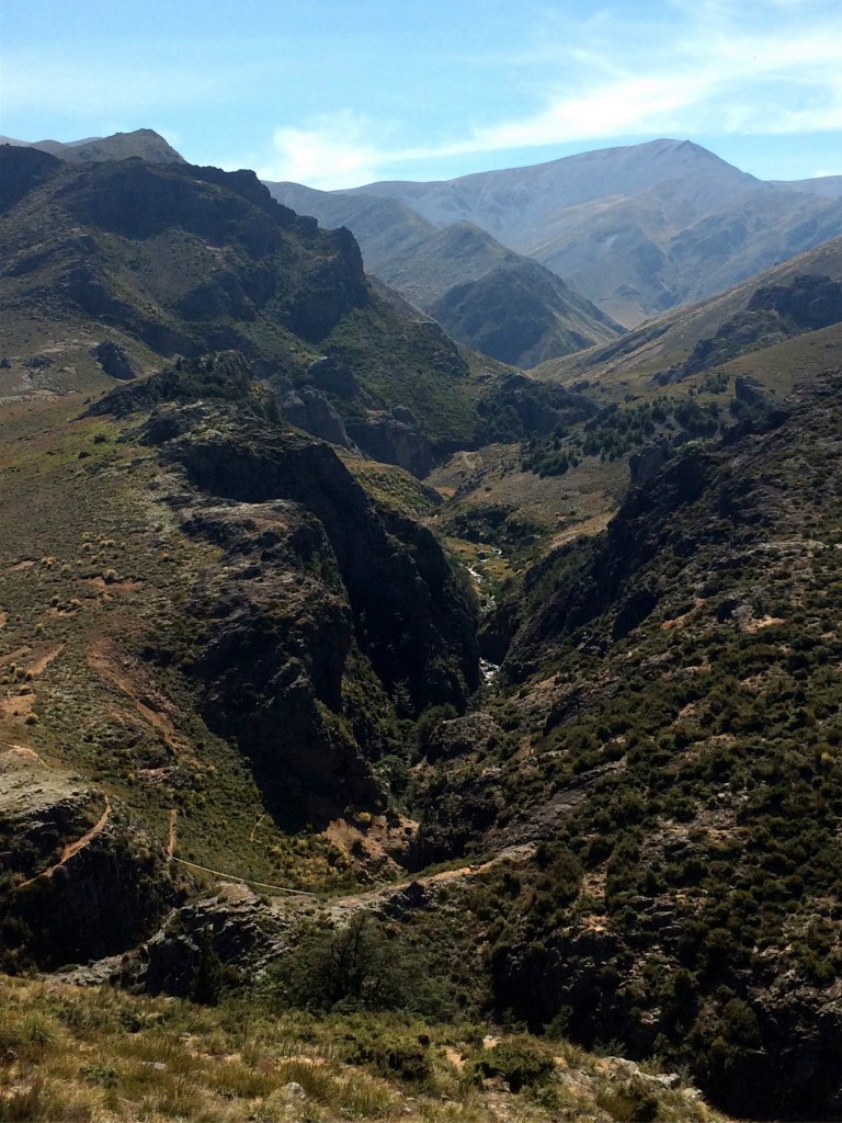 The trail crossed a swing bridge between the two sides of the valley; you can just about make out the bridge in the very bottom of the photograph above….. which didn’t prepare us for the view as we looked across the bridge.
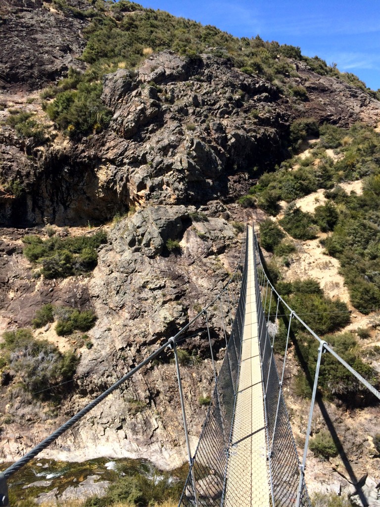 The swing bridge was pretty high off of the valley floor and worryingly enough had warning signs that just one person could cross at a time.
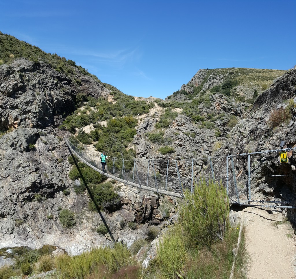 The swing bridge definitely lived up to its name and moved quite a bit as we walked across, but certainly added to the adventure! We continued along the track back towards the car, but decided to take a brief detour to a waterfall that was sign posted from the track, but not mentioned on the map.
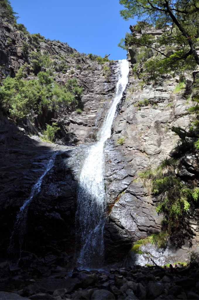 It was well worth the stop and the cool water was very refreshing on such a hot day. Back on the main track we climbed to one last vantage point that looked out over the Canterbury Plains before heading back to the car.
