I planned two longer day walks for my time in Queenstown, both of which started at the car park for the Routeburn Track. When we first started hiking in New Zealand, we stuck mainly to the Great Walks, partly as they are chosen to showcase the best scenery, but partly because we knew they were extremely well maintained and would provide an easy way to get used to hiking down here. Now that we have started to venture further off of the beaten track, we realise just how easy the Great Walks were.
On my first hike to Sugarloaf Pass I only got a very short reminder of the easy well-graded track before turning off. Almost immediately the track started climbing up through the dense bush. Despite the climb, and the warnings at the start of the trail, the terrain wasn’t too bad, and given that I didn’t need to haul myself up roots using my hands, the hike certainly wasn’t as challenging as some of the tracks we have done.
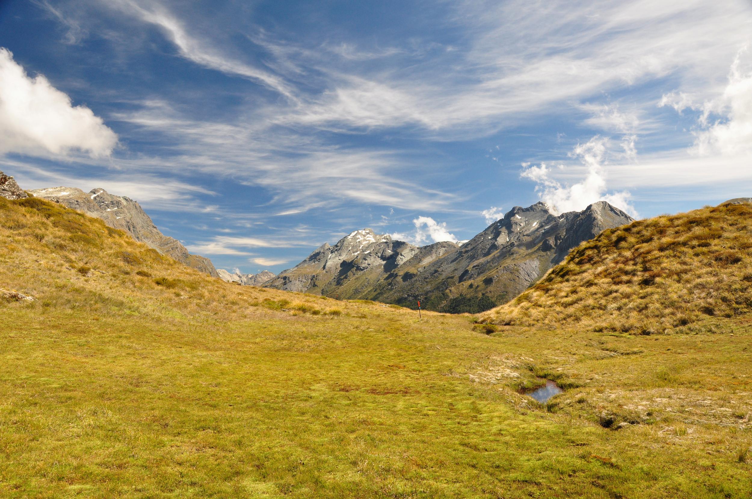
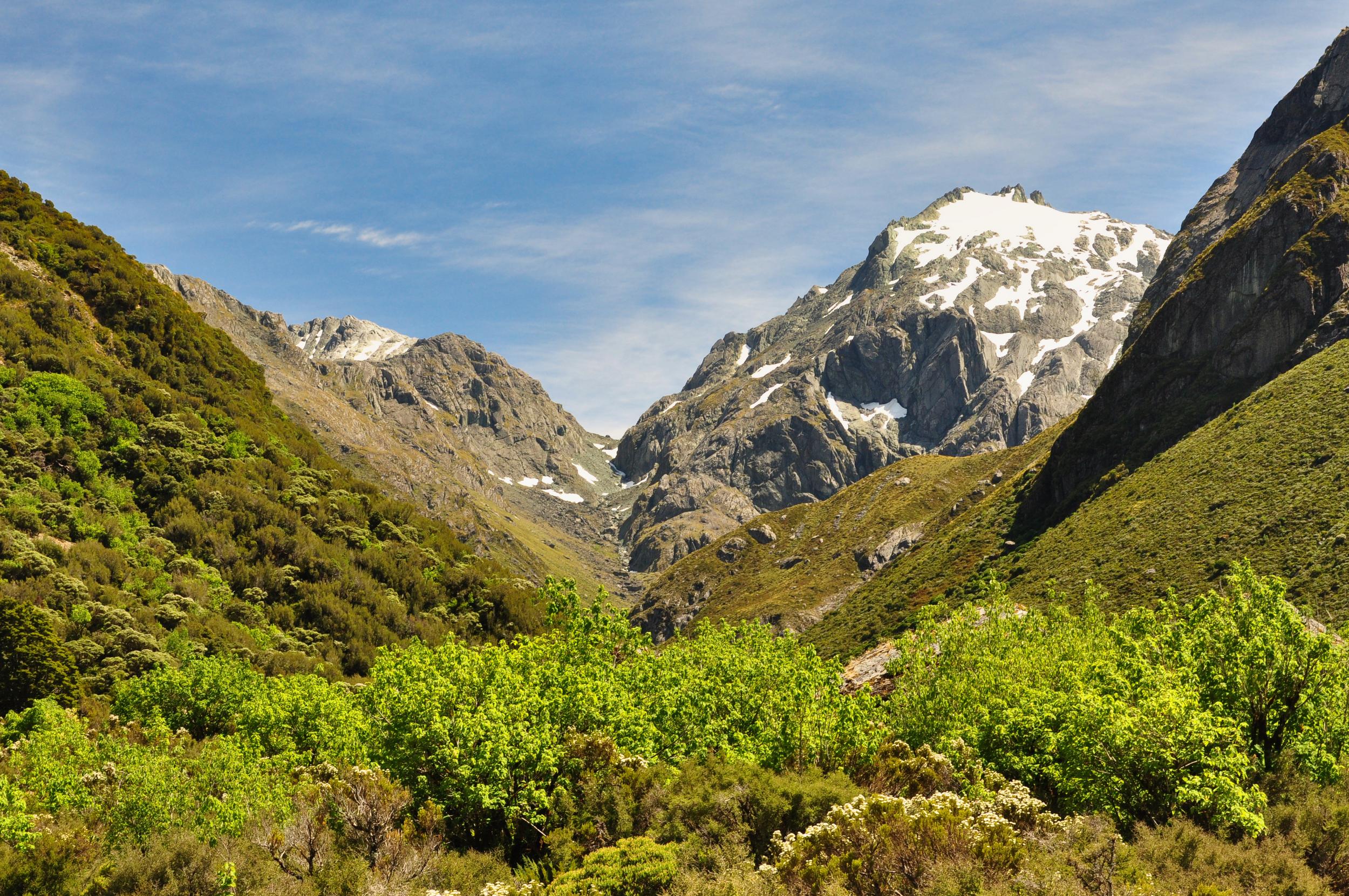
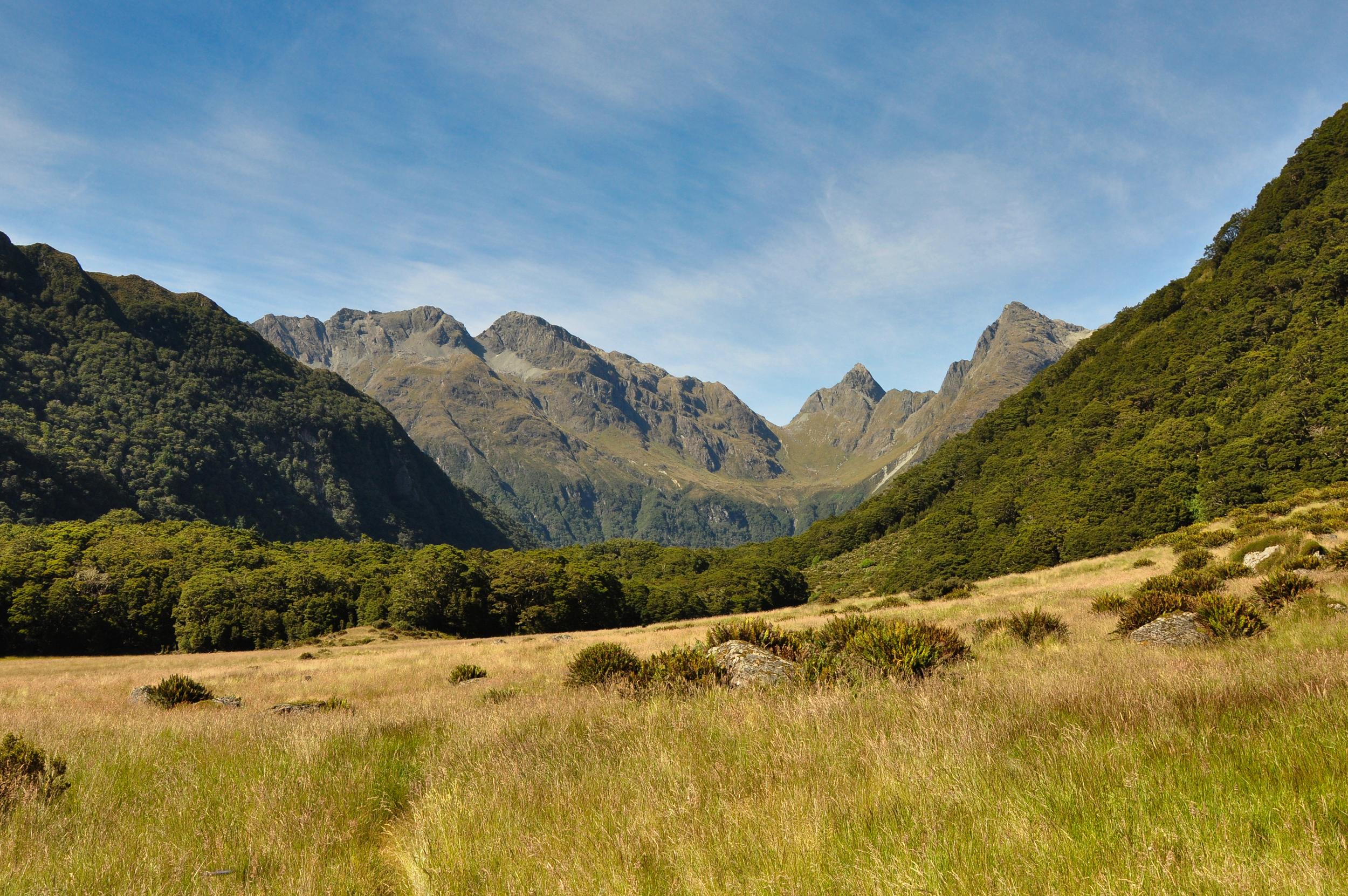
After a steady climb up through the forest I popped out of the dense bush relatively quickly and was pleased to make out the gently slopping Sugarloaf Pass not too far ahead of me. I wandered through the slightly boggy pass to get a view of the ‘other side of the mountain’ and was able to see all the way down into Theatre Flat and the Rockburn Valley.

From what I had read online when planning my trip, I knew it was possible to climb a little above the pass to a nearby unnamed peak for some additional views. With beautifully clear skies and plenty of time I quickly set off for ‘Point 1290’ as it was marked on my topo map.
It was well worth the extra climb as the ridgeline gave me even better views in every direction. Having done quite a bit of hiking in this area it was great to be able to pick out a few landmarks and valleys that we had previously hiked.
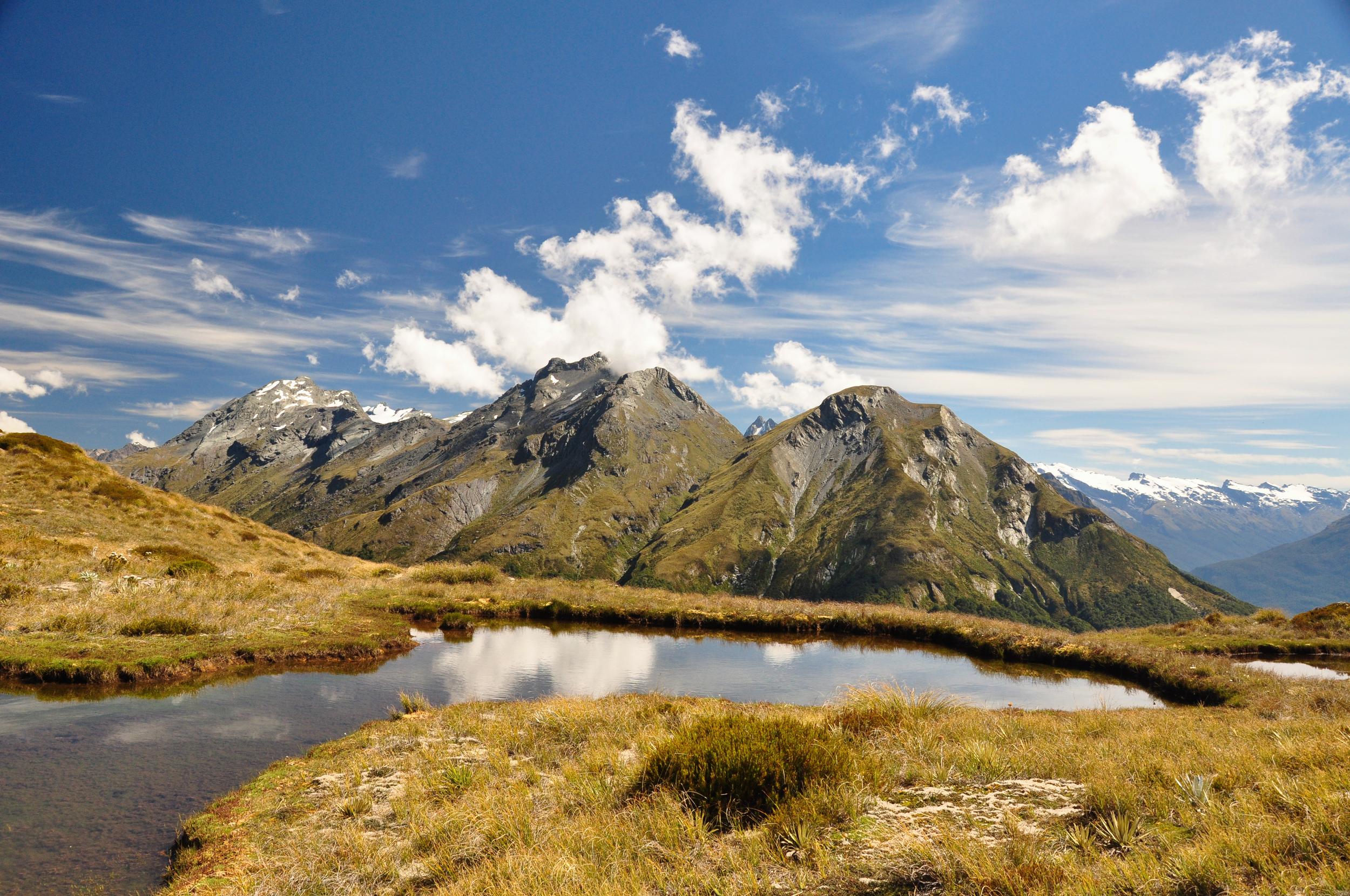
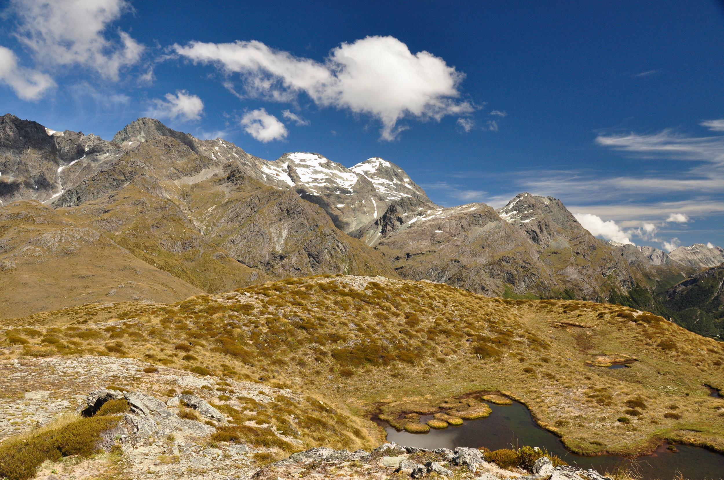
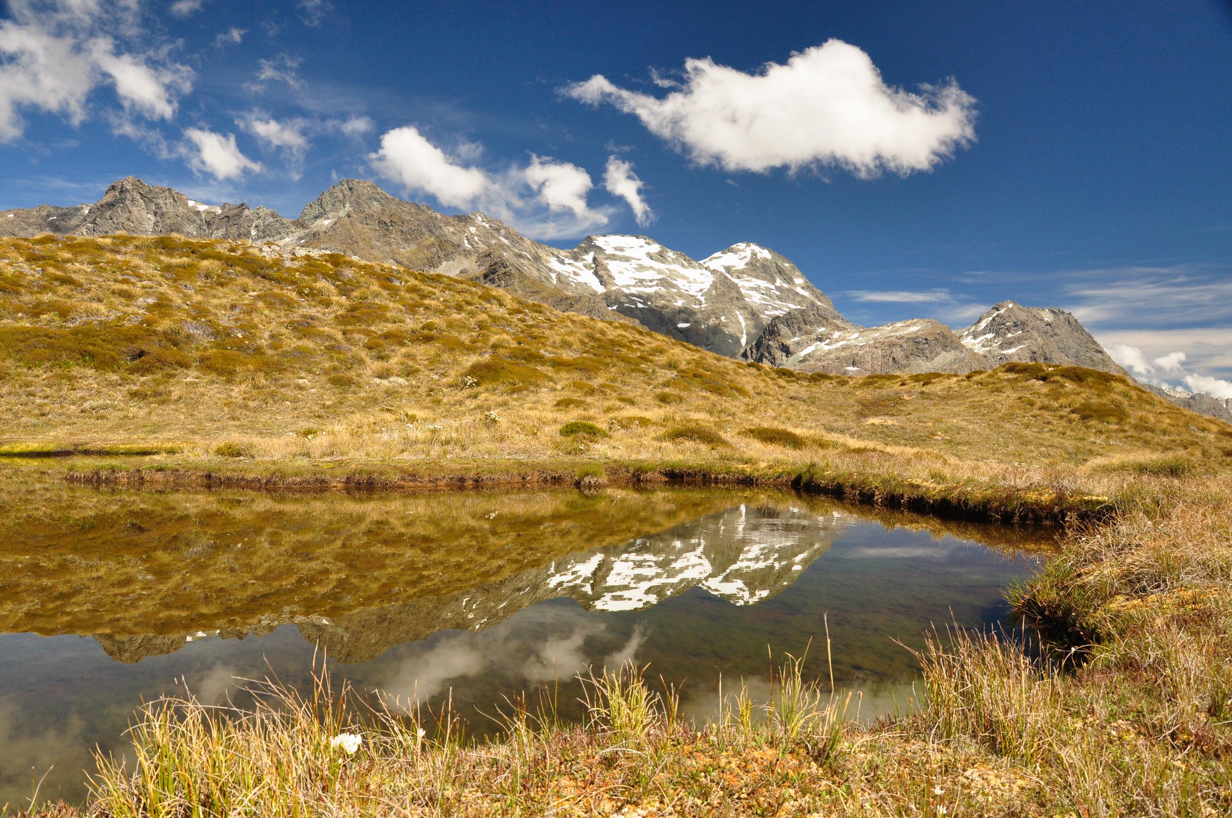
After reaching the high point on the map, I decided to head back towards the tarns that I had passed to enjoy my picnic lunch. Despite the slight breeze blowing on the ridge, tucked down next to the water it was completely calm providing almost perfect reflections in the lakes.
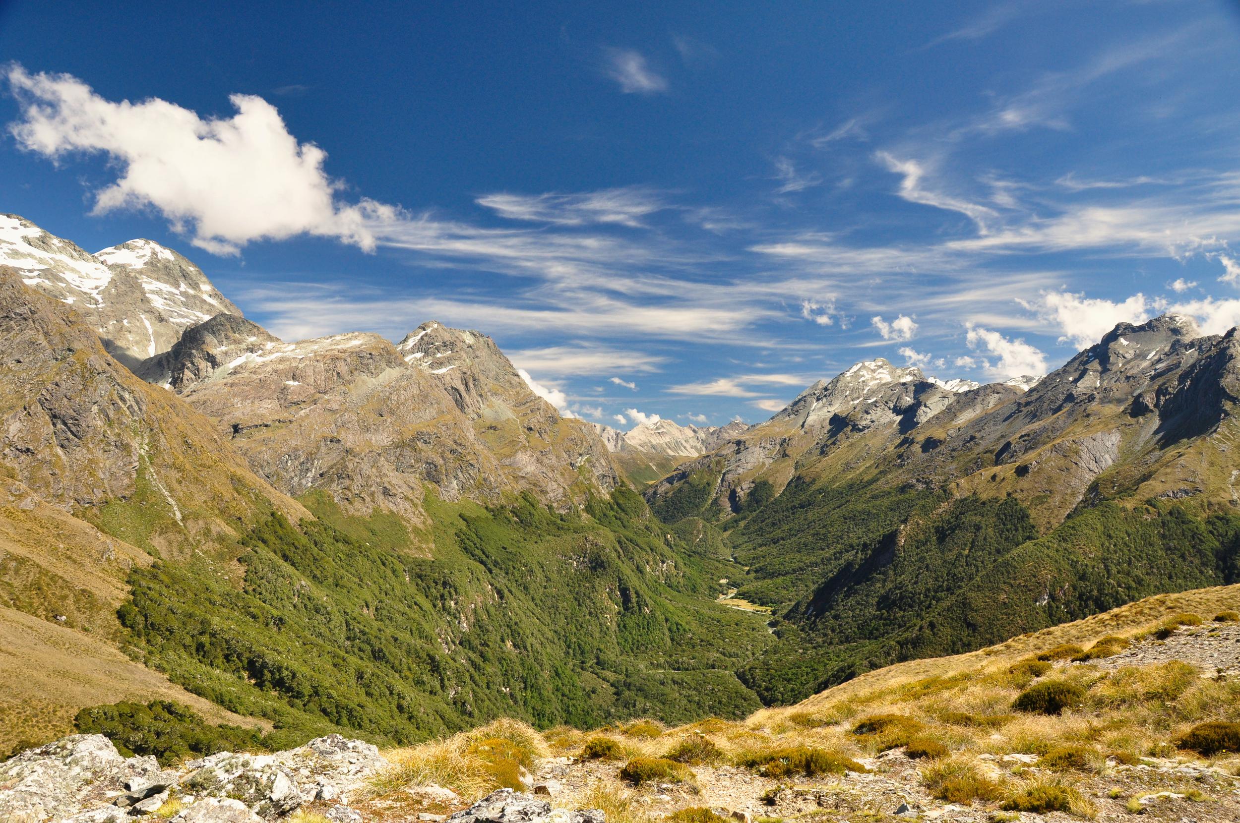
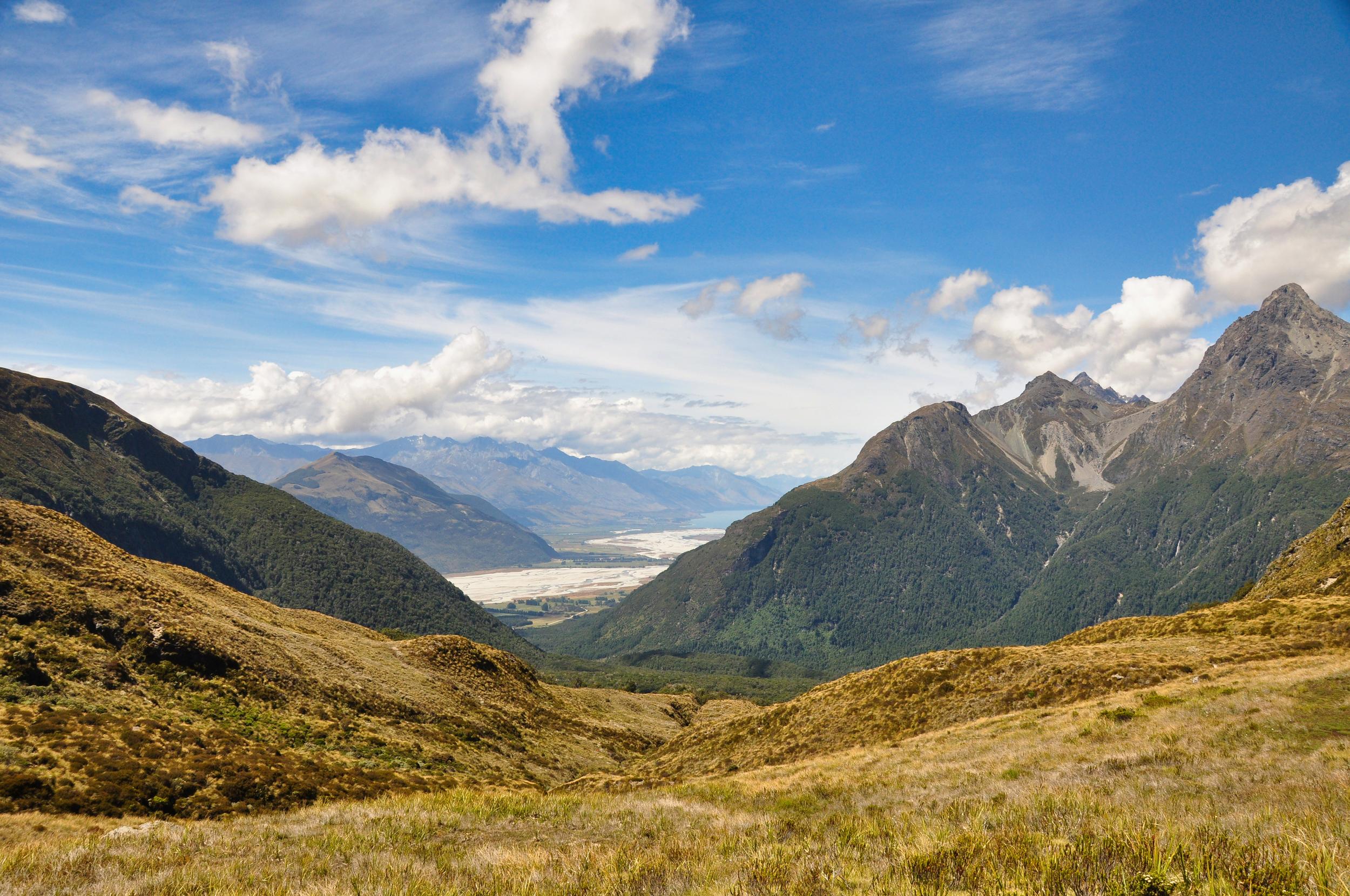
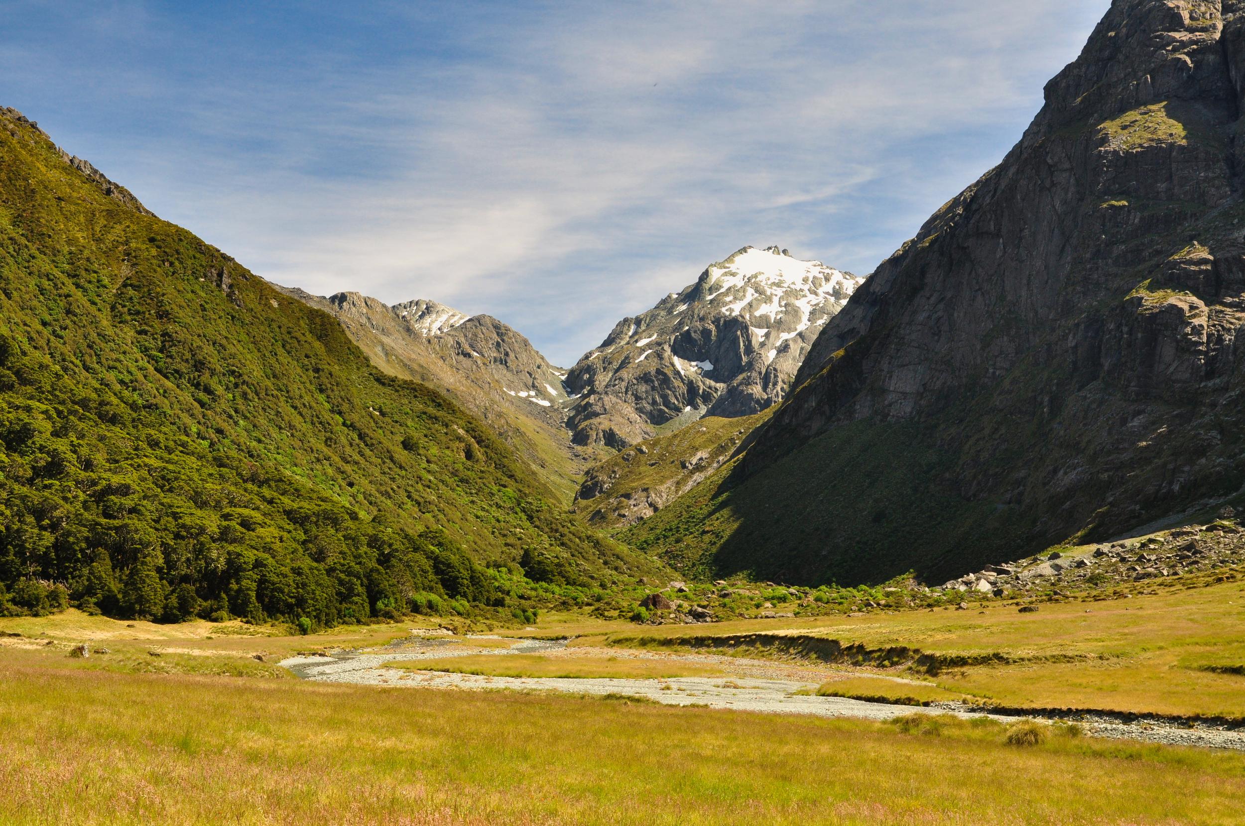
Eventually I reluctantly decided it was time to leave my perch up in the mountains and started to make my way back down to Sugarloaf Pass and to retrace my steps towards Glenorchy. After leaving the pass there was a short section of track that had a perfect view down the valley and towards the head of Lake Wakatipu near the town of Glenorchy where I was staying.
On Sunday my plan was to walk up the North Branch of the Route Burn, the first part of the track followed the Routeburn Great Walk which made for an easy few kilometers. After having explored a few more challenging tracks recently, it was a nice change to be able to cover a lot of ground quickly on the well-graded track.

I arrived at Routeburn Falls Hut, the first hut on the Routeburn Track as many of the hikers were finishing up breakfast. The trail up the North Branch of the Route Burn split away from the Routeburn Track here and I had to cross the river. Luckily the clear, calm water made for an easy crossing, even if the water was a little chilly.
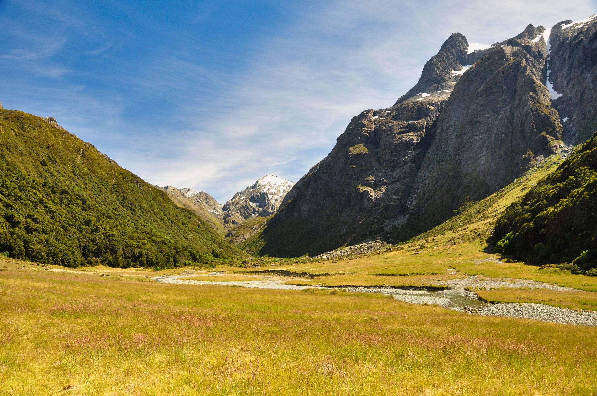
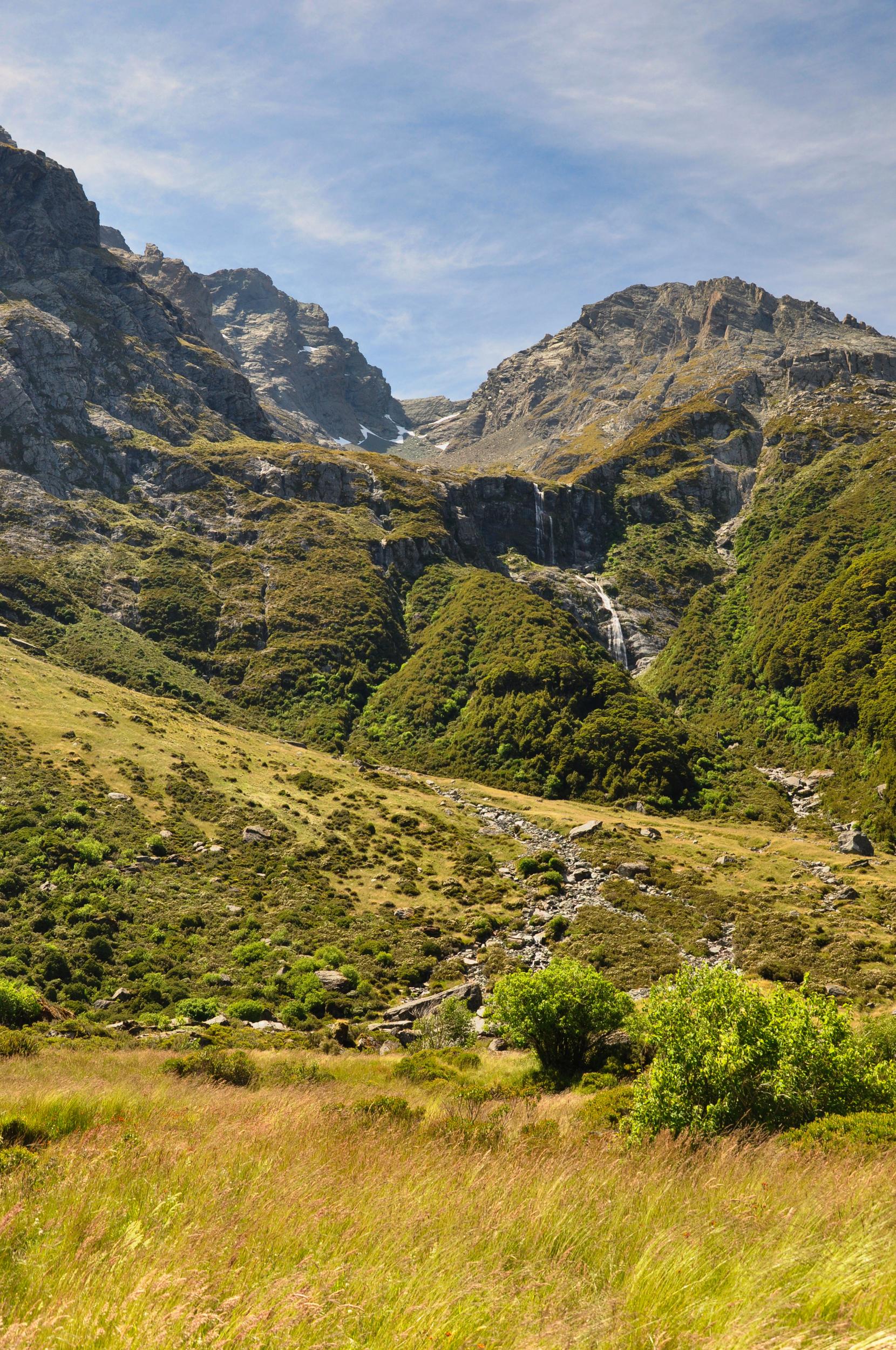
The track followed the river up the valley, occasionally diving into the forest when the river went through a small gorge. Much of the way, however, I was able to walk along the grassy flats at the side of the river which meant constantly changing views as I climbed higher towards the head of the valley.
After seeing so many other people at the hut, it was quite surprising to have the entire valley almost entirely to myself. From when I crossed the river into the North Branch of the Route Burn, to when I got back to the river I only saw a couple of other hikers, which was such a nice contrast the the earlier part of the track.
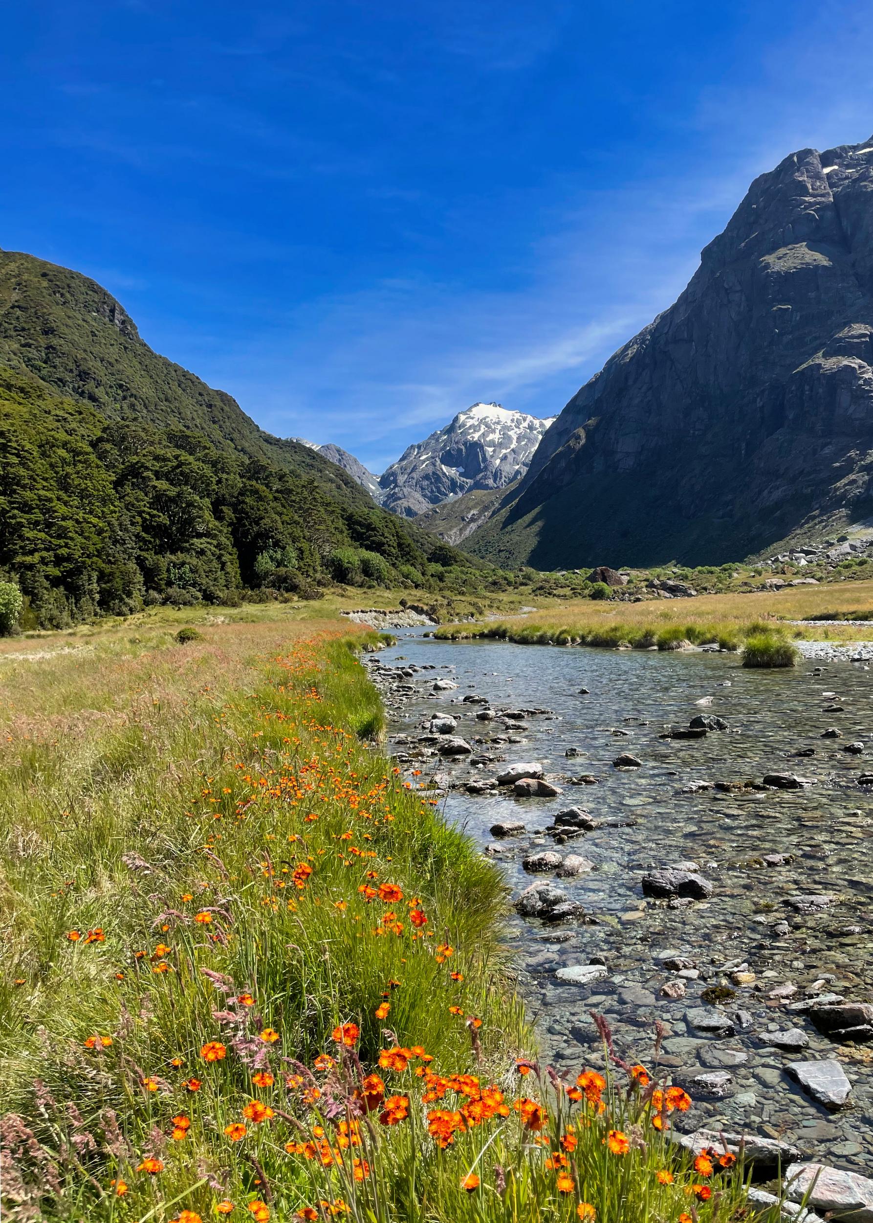
As I neared the head of the valley, the riverbank became lined with orange flowers which provided a lovely contrast to the turquoise water.
Eventually the track started to meander through some scrub, making it hard to enjoy the views of the valley. It was approaching the time I had set for myself to turn around, and I already knew from my research that I had seen the most scenic sections of the valley. I found a large rock in a sunny spot and enjoyed a picnic lunch before starting to retrace my steps back down the valley.
Like so many hikes, it was surprising how different the valley felt when heading in the opposite direction. The mostly gradual downhill gradient made for an easy trip back down the valley and I arrived back at the Routeburn Flats Hut quite quickly, and from there had an easy walk out to the trailhead.
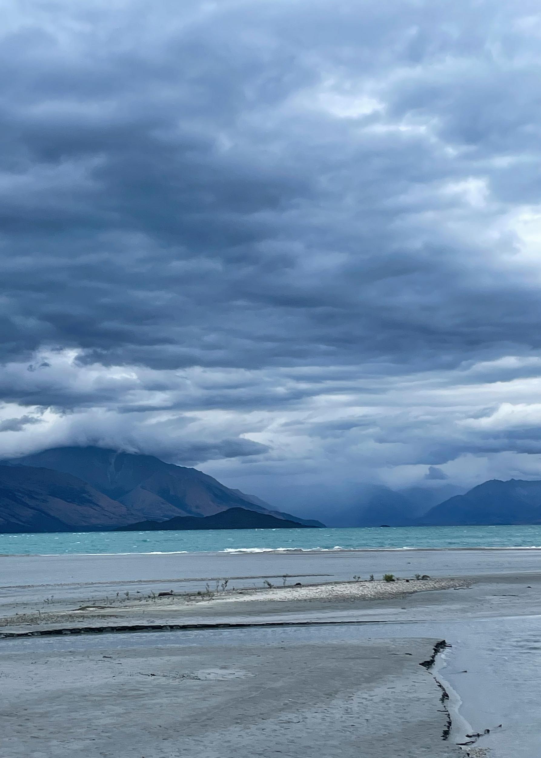
That evening I stayed in Kinloch on the opposite side of Lake Wakatipu and the run of beautiful weather that I had been enjoying came to a stormy end. I ventured down to the old jetty at Kinloch and watching the waves and storm clouds build on Lake Wakatipu, it was hard to believe that just a few hours earlier I had been enjoying a picnic lunch on a boulder in the hot sunshine!
With the weather changing, it was easy to head back to my accommodation to relax for the evening before heading back to Queenstown to get ready for a few days of work.