We planned a relatively early start from Lake Howden Hut as we knew that we had a longer day ahead of us as we left the Routeburn Track and made our way back towards Glenorchy on the Caples Track. The trail took us along the shores of Lake Howden towards Lake McKellar. The early morning mist in the valley reminded us that autumn had definitely arrived in New Zealand and that this would probably be our last hike in the mountains until spring.
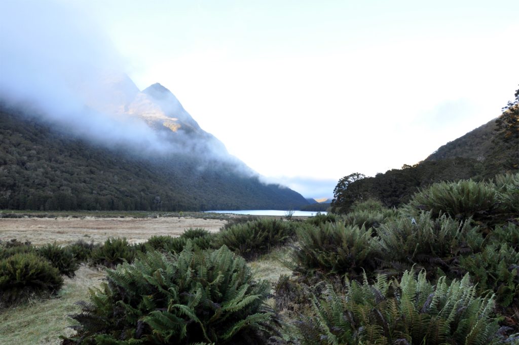
We crossed the valley floor and almost immediately started the climb up towards McKellar Saddle, the crossing that would take us into the Caples valley. We didn’t have too far to climb and after a series of switchbacks we were rewarded with views across the valley through the occasional break in the trees.
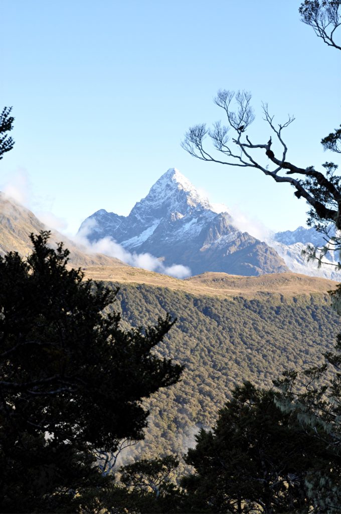
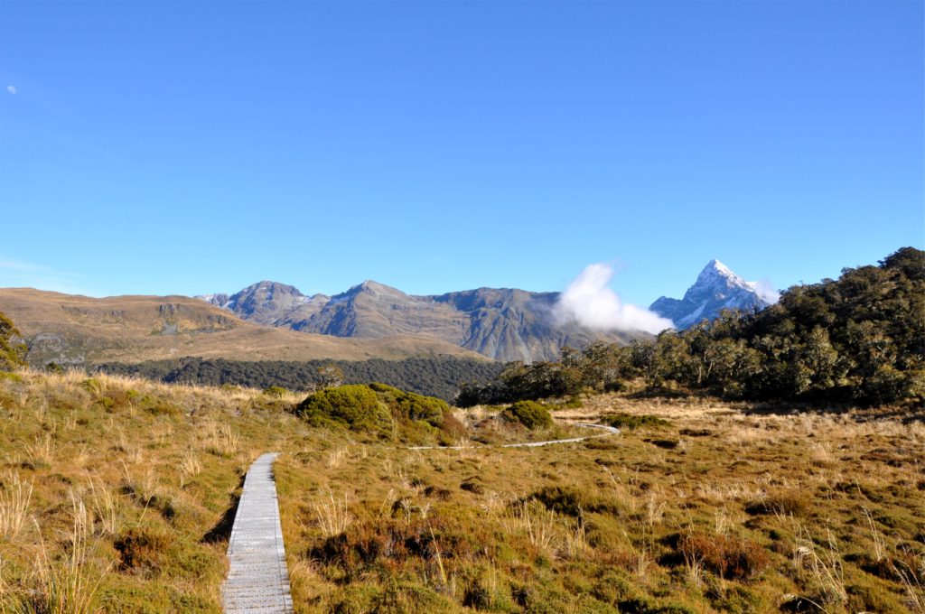
We were both pleasantly surprised when we reached bush line and the trail levelled out as we reached the saddle. A board walk stretched out in front of us across the fragile alpine wetlands. We stopped to take a final look back at the Hollyford valley and the distinctive Mount Christina, before continuing on to the Caples valley.
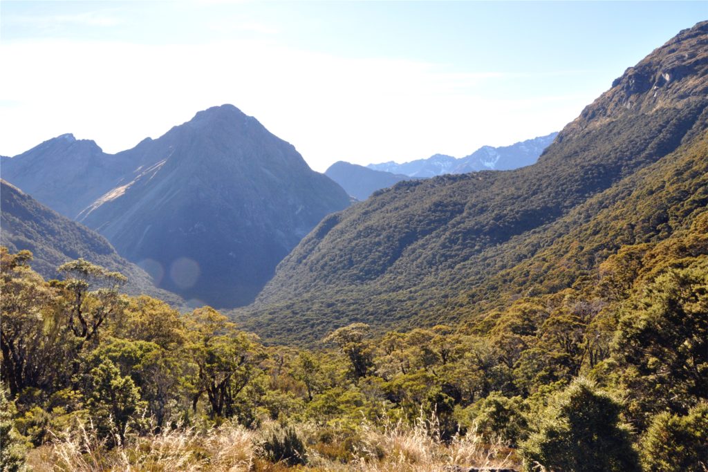
From the saddle we got our first glimpse into the Caples valley, it was hard to see how it would be possible for a track to penetrate the densely wooded slopes. Luckily for us, the Department of Conservation have been doing a lot of work in this valley and there was a very easy, well-made track that lead down through the forest.
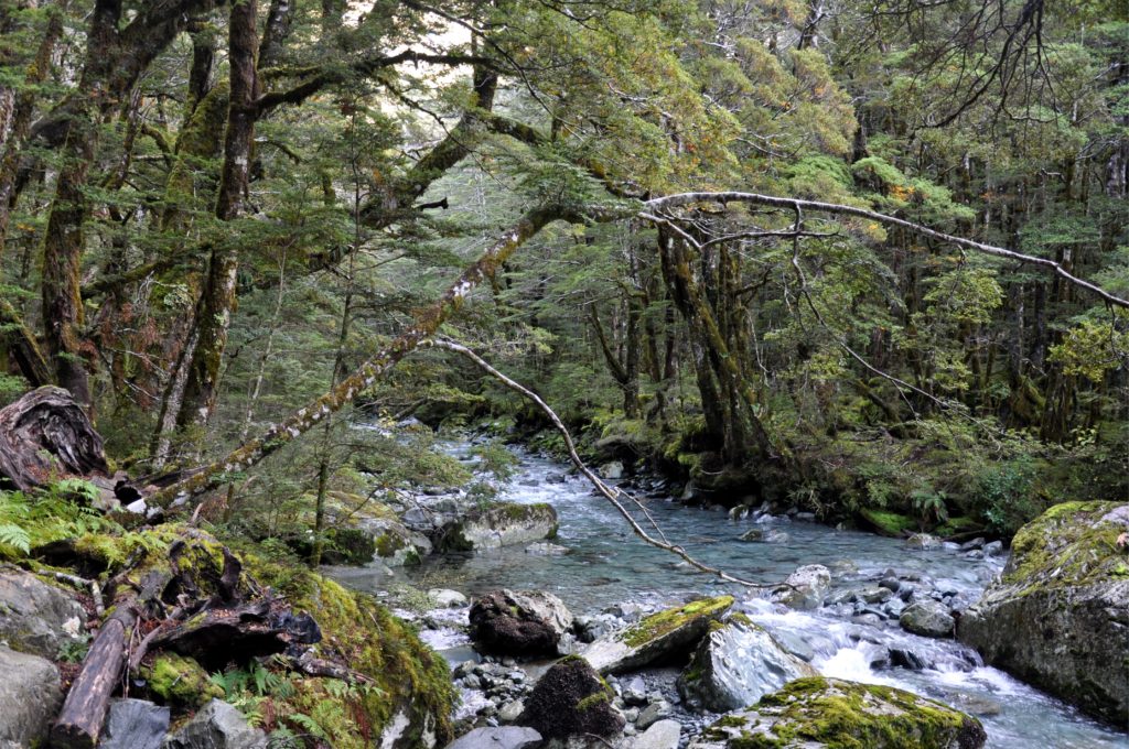
We were able to make good progress, descending gradually through the forest on a newly repaired trail. Occasionally the track would join up with the Caples River and we would walk alongside the beautifully clear, blue water for a while.
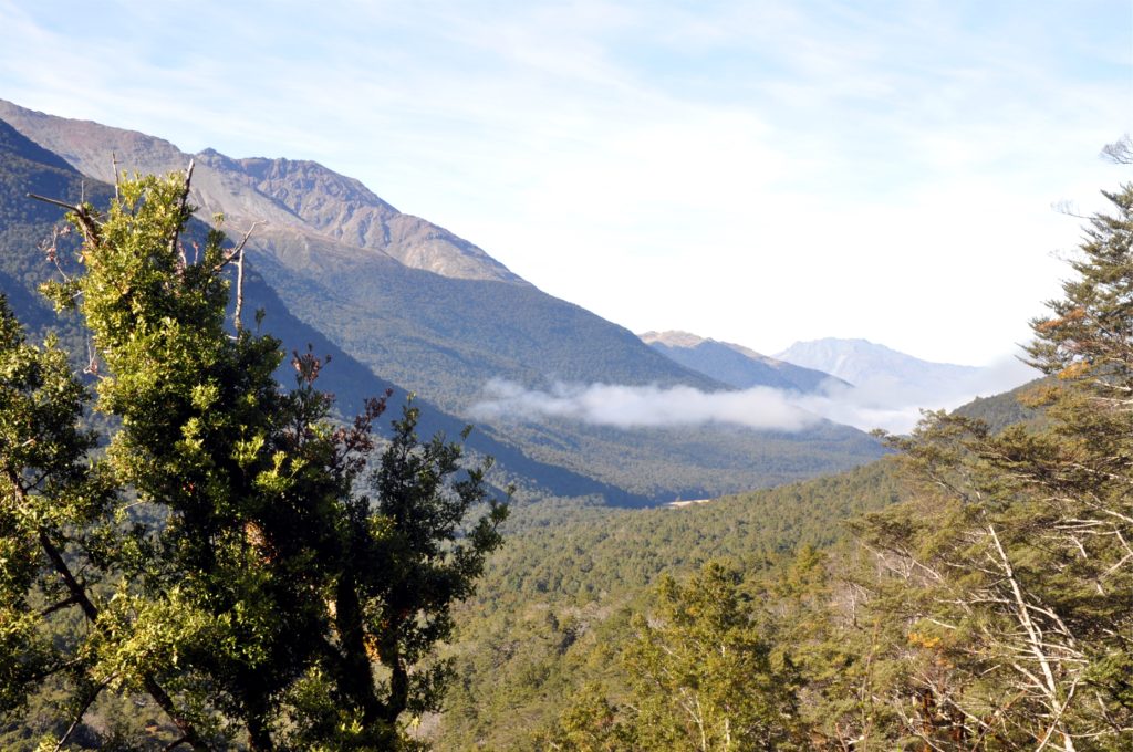
The track continued to take us down the valley, and we felt as if we were making good progress. Finally, we came to a break in the trees and we were able to get our first glimpse of the river flats we which we knew meant we were getting closer to Lake Wakatipu and the end of our hike.
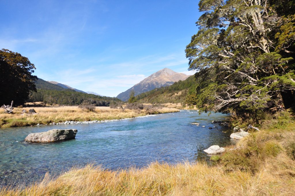
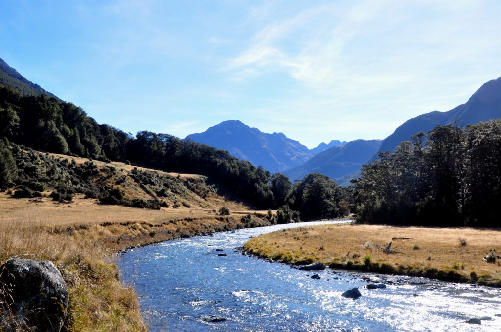
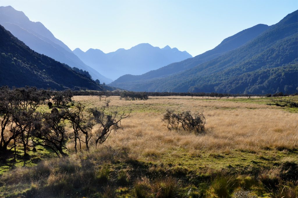
A while later we left the forest for the final time and found ourselves in the grassy meadows surrounding this section of the Caples river. The track followed the river down the valley, dropping gently as we made our way through the grassy meadows at the side of the crystal clear river.
We continued to make good progress, and by early afternoon we found ourselves at Mid-Caples Hut. We settled onto a couple of benches in front of the hut overlooking the river and debated our options; we could spend the night at this beautiful, new hut as originally planned, or we could continue on and finish the hike.
After considering our options, we realised we had plenty of daylight left to make it out to the car, and with the track continuing to follow the Caples River, we knew it would be a pretty steady grade. The lure of some real food and a nice bed for the night meant that we decided to keep going.
After walking about 30 kilometres (almost 19 miles), we were pleased to see the final bend in the track that would take us out of the Caples Valley and to the car park at the side of the lake. It had been a long day, but a nice end to our trip through this part of the Alps.
