After a delicious breakfast and walk at Lake Matheson, we drove south to the trail head near the mouth of the Karangarua River. As we put the last of our things into our packs we had a good view up the river that we would be following to Welcome Flat Hut.
The track started with a river crossing, and although the water levels were pretty low, it still took us a while to pick our way across the river in order to keep our feet as dry as possible.
It wasn’t long until we came to another river crossing, although this one was more of a shallow ford than a true river crossing. As we quickly made our way across to try to limit how wet our feet got, we were easily able to aim for the well trodden track on the other side.
We later learnt from information at the hut, that the track through this valley was one of the early tramping tracks in New Zealand and that people were using this route on guided mountaineering adventures from the late 1800’s, when the track in this valley connected all the way through to the Hermitage Resort near Aoraki / Mount Cook on the eastern side of the Alps.
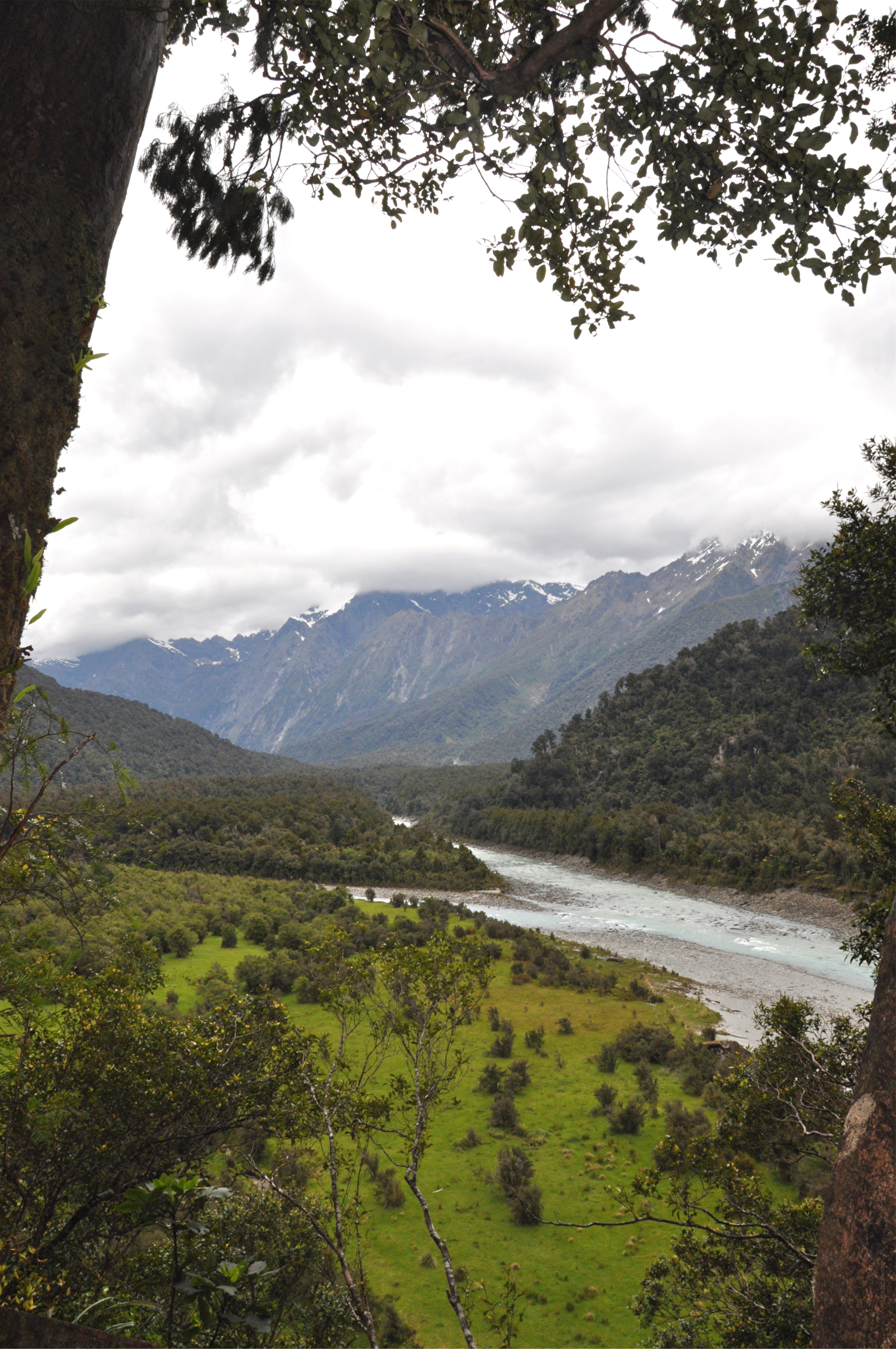
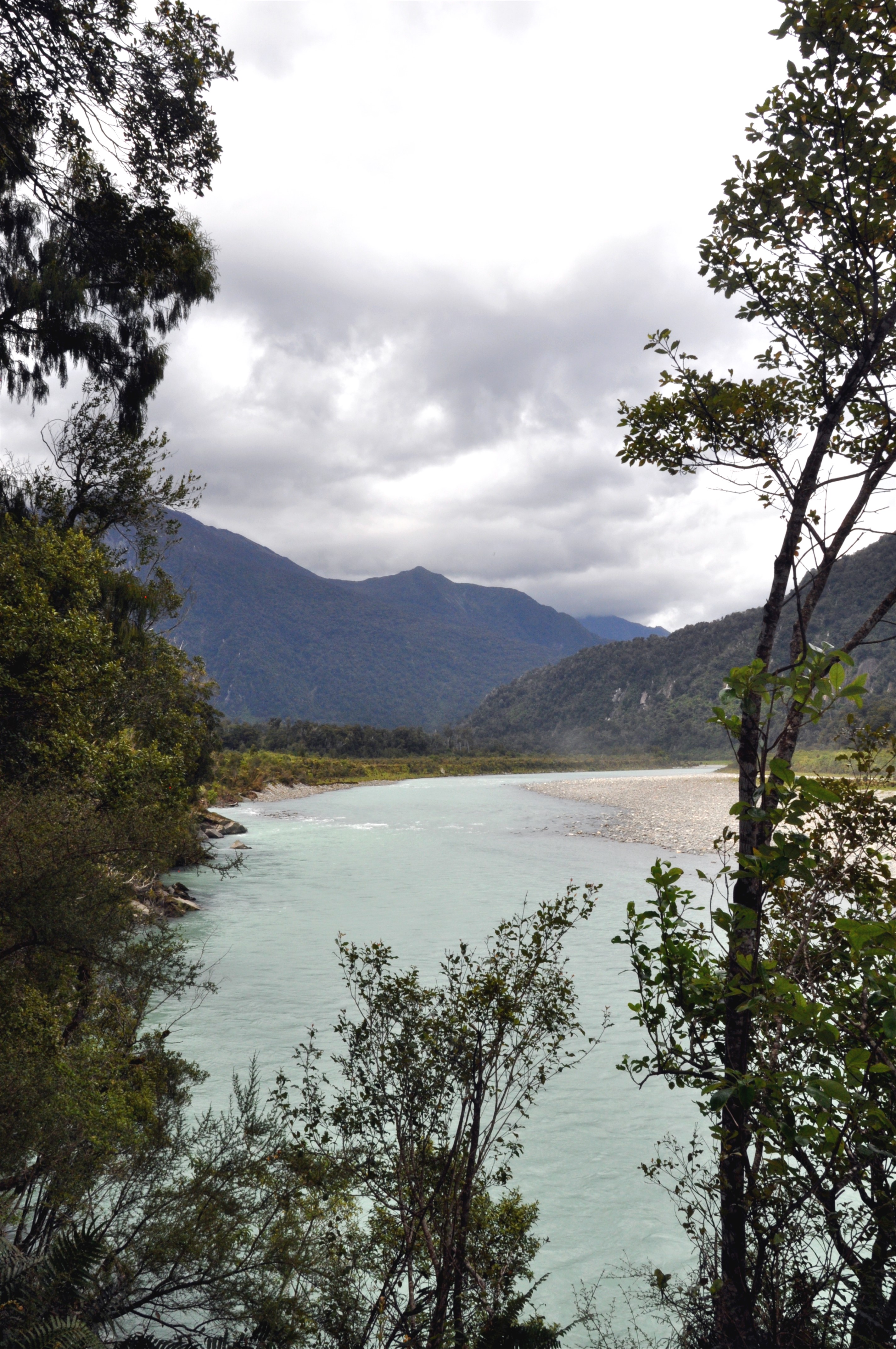
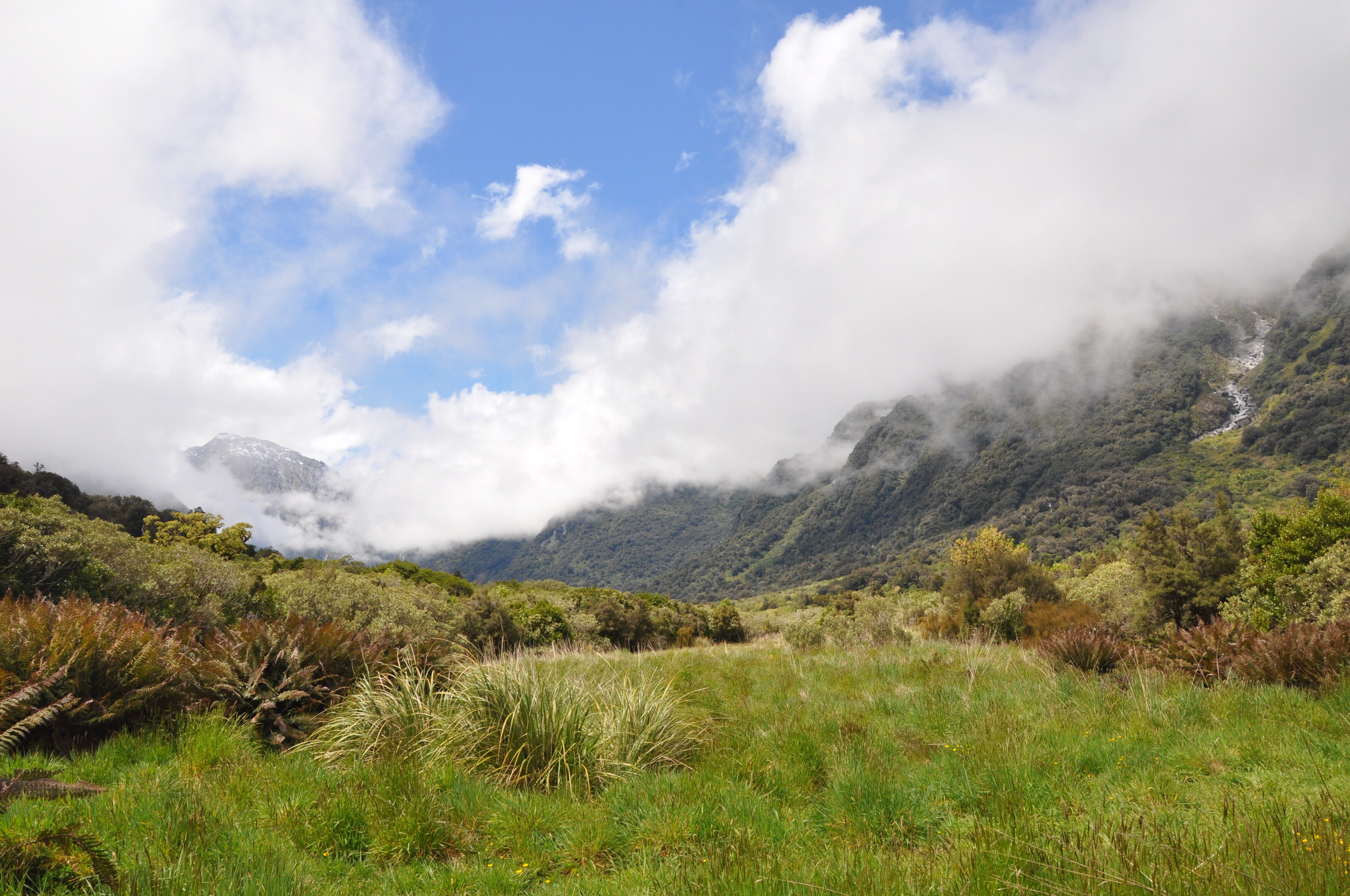
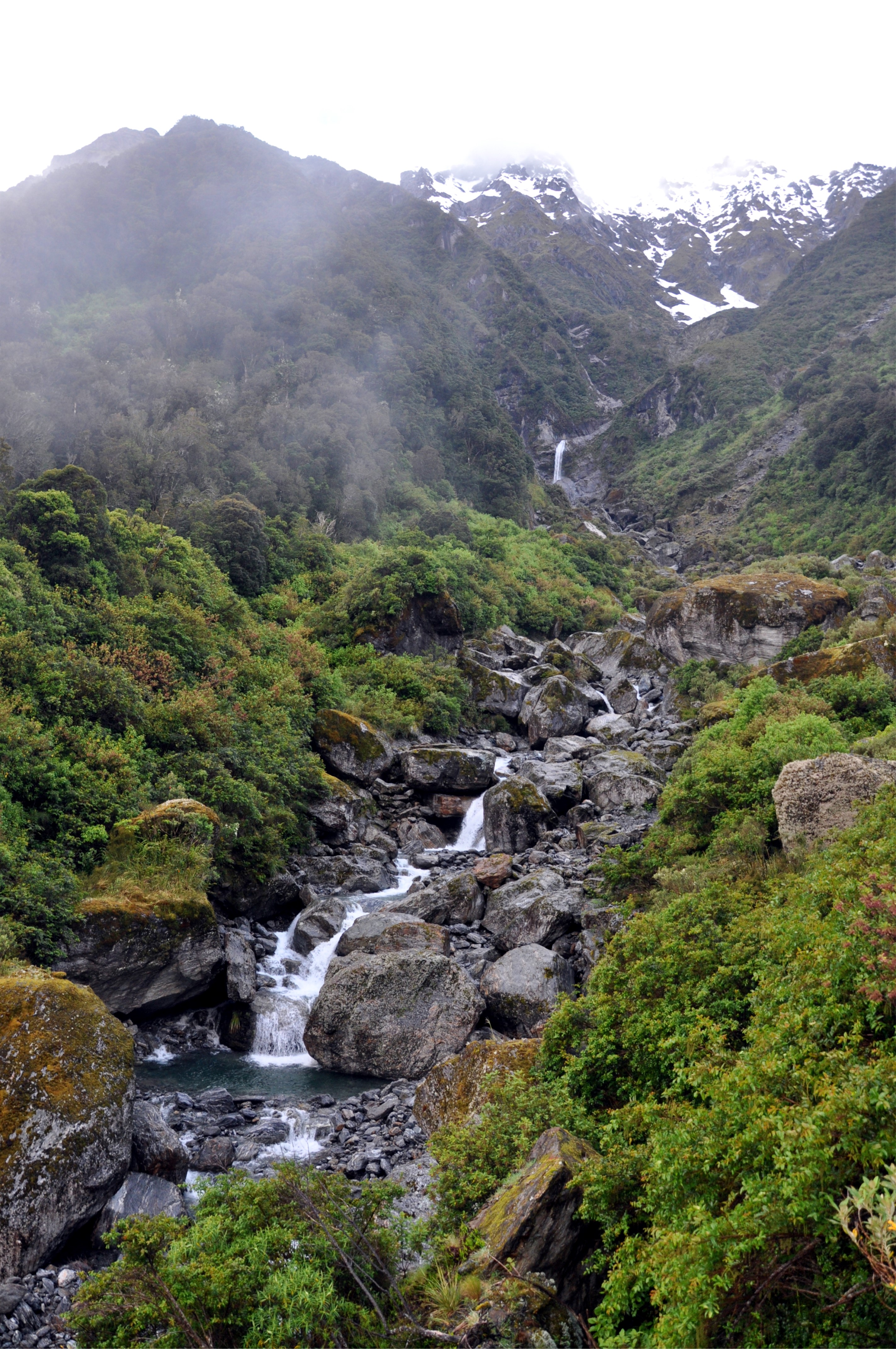
A few small river crossings later, we came to a marked viewpoint off to the side of the track. From a small clearing in the trees we were able to get a glimpse of the confluence of the Karangarua and Copland Rivers. The cloud had lifted just enough for us to see parts of the Karangarua Range far above the river valley.
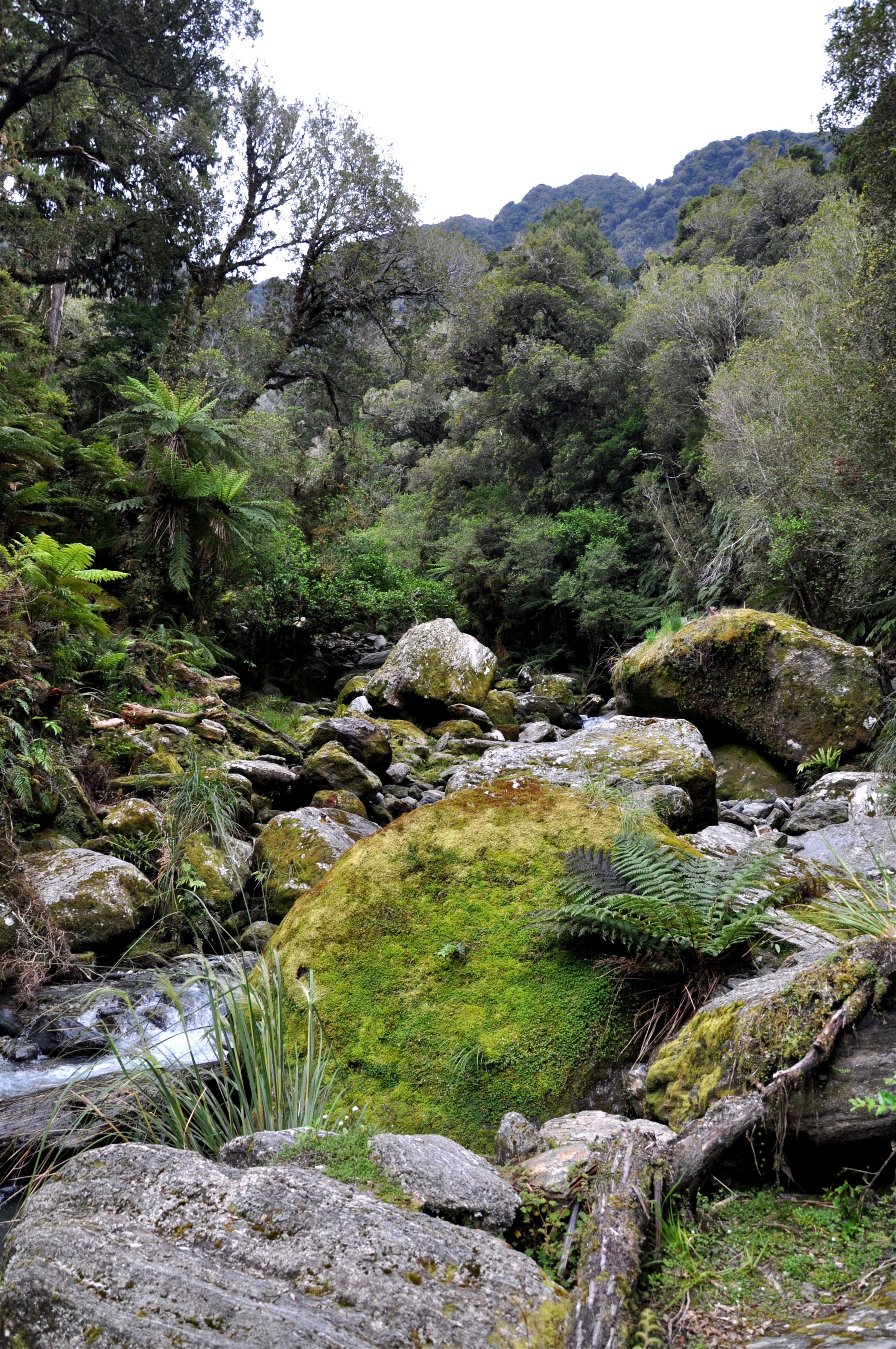
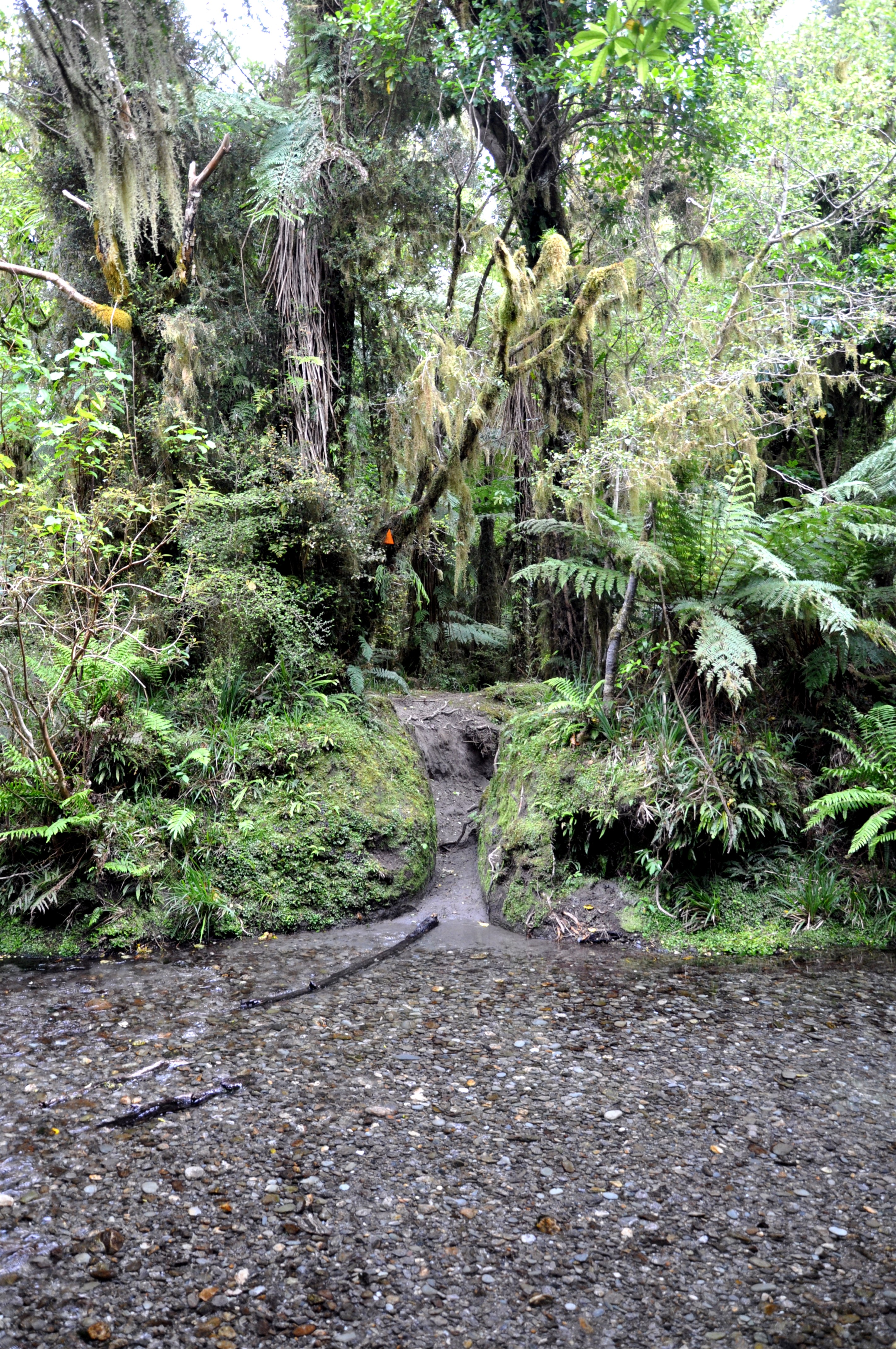
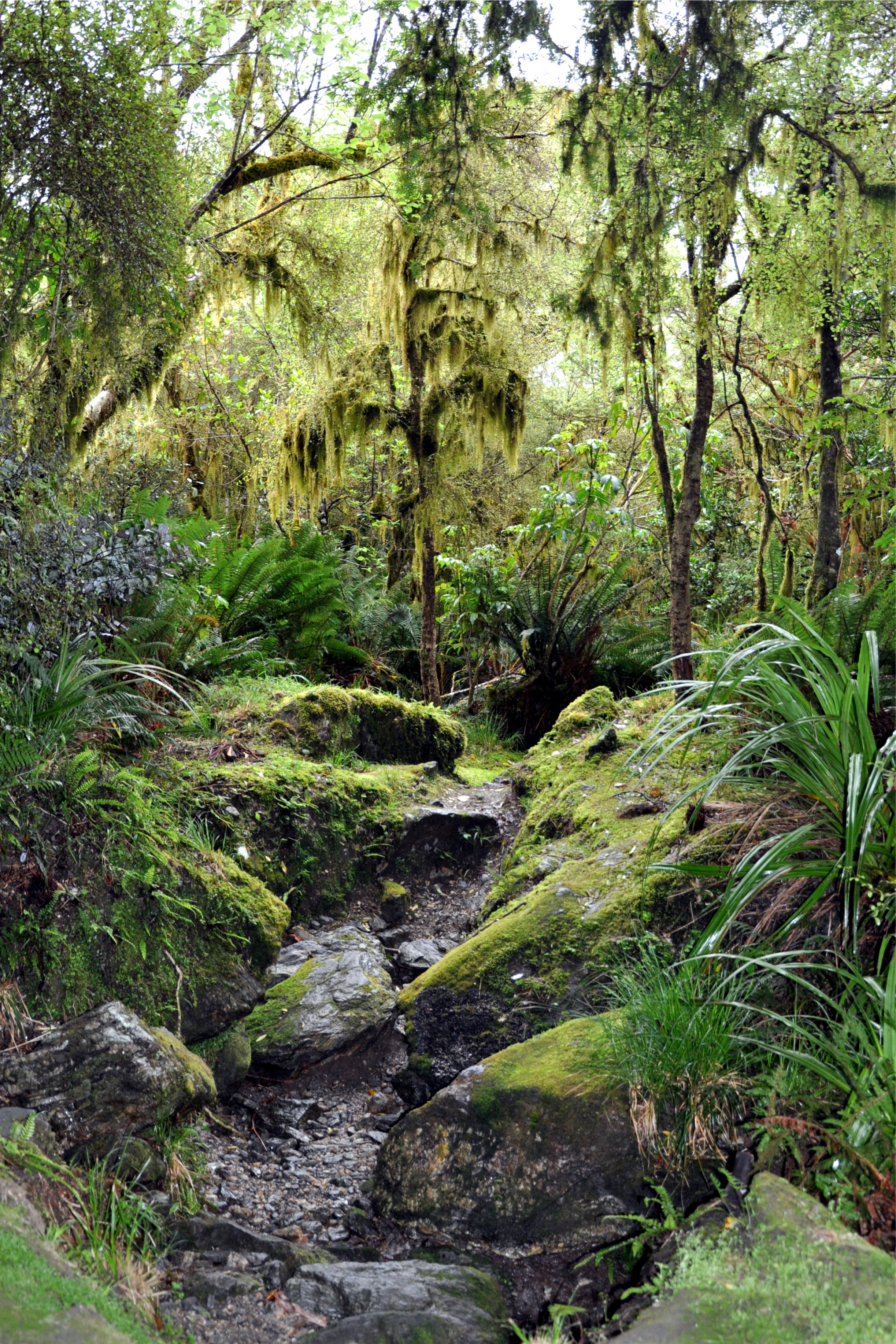
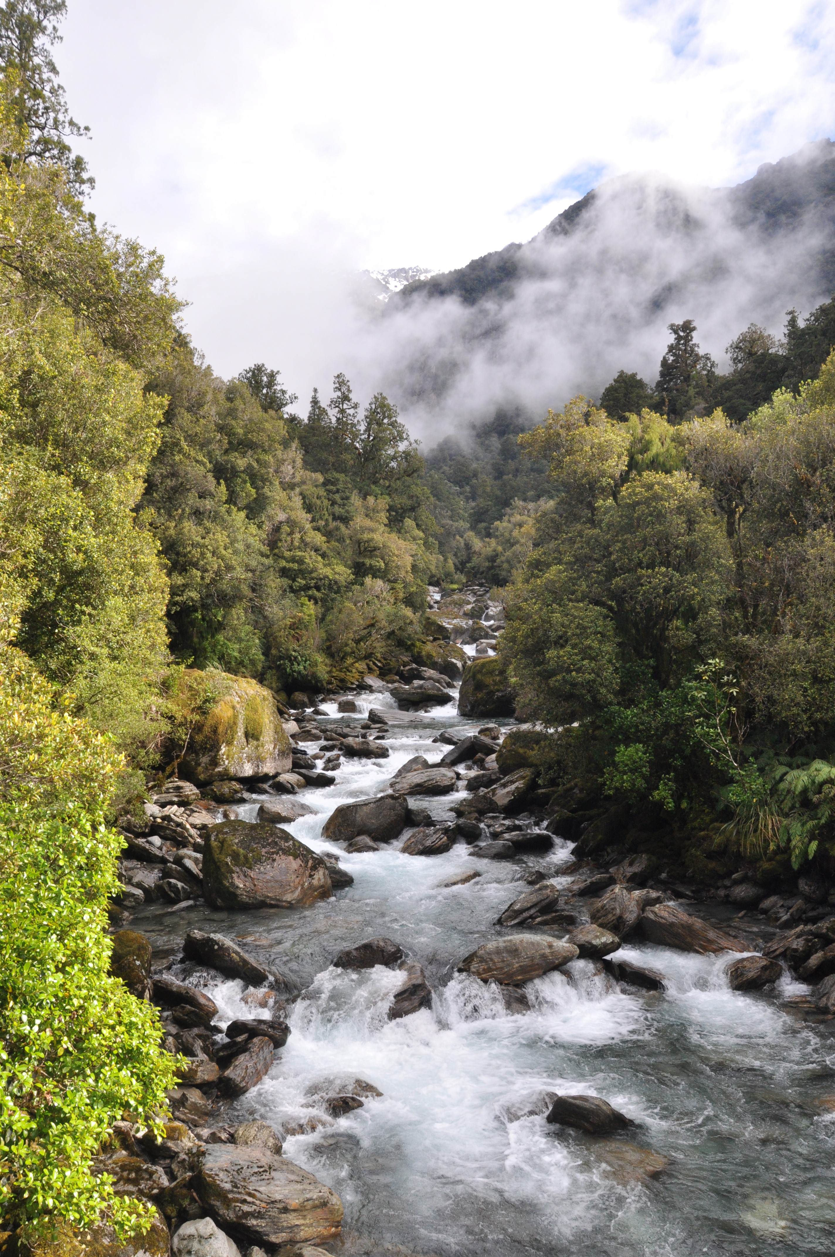
Our track continued to follow along the Copland River Valley and although we were in dense forest for most of the trip, we were able to keep track of our progress by the number of rivers and streams we crossed.
For a while the track left the forest and we had to pick our way across the rocks at the side of the river. With all the river crossings and the path along the water’s edge we could see why this track is often closed due to weather. After the rains of the previous week, we felt lucky that we were able to safely do the hike.
A short while later we arrived at the hut and got ourselves settled in for the night. The hut warden advised us that due to the heavy rain the previous week, the track higher up the valley was not passable, and combined with the low cloud we decided to spend the next day exploring the area around the hut rather than attempting our planned trip further up the valley.
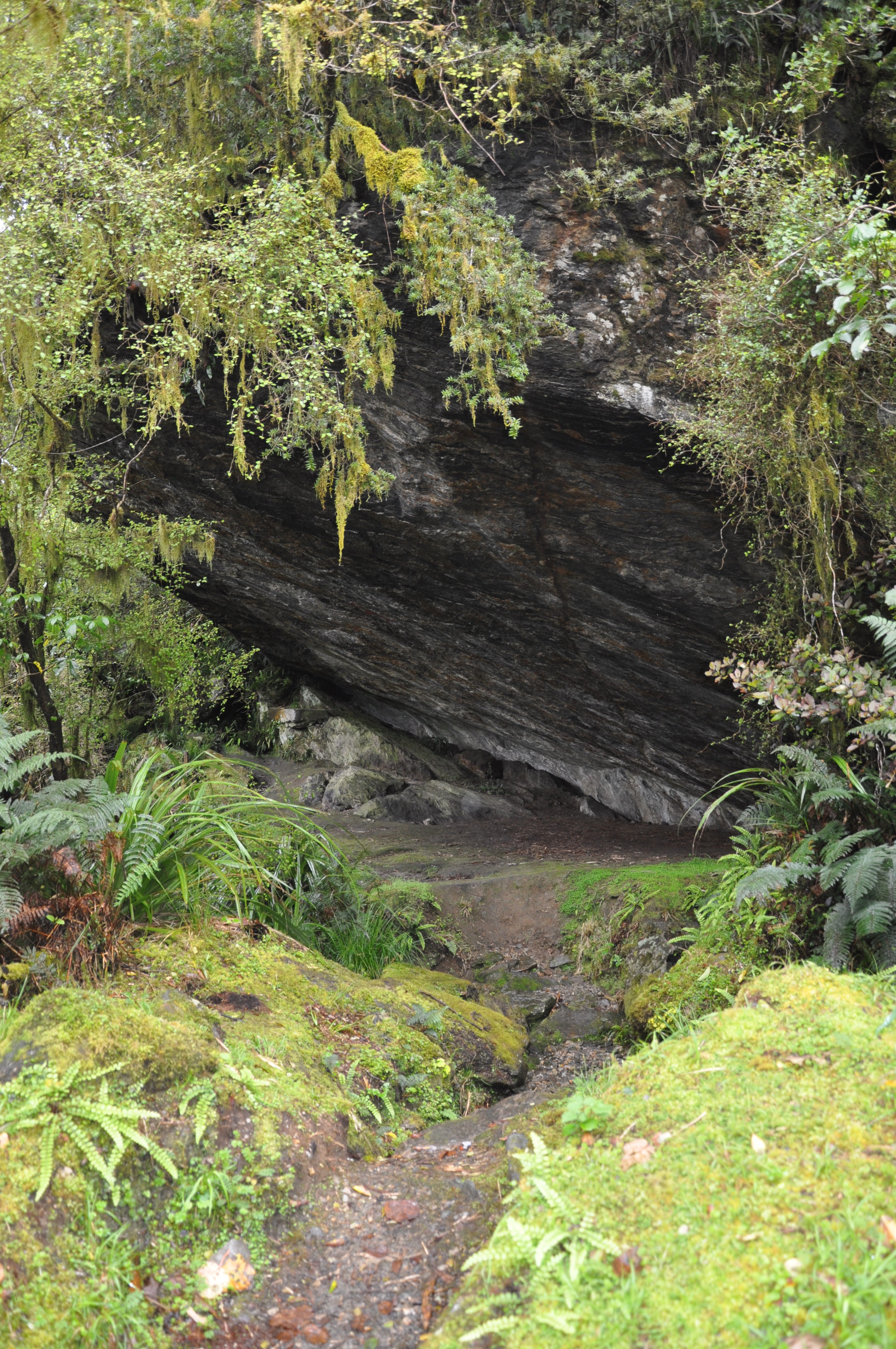
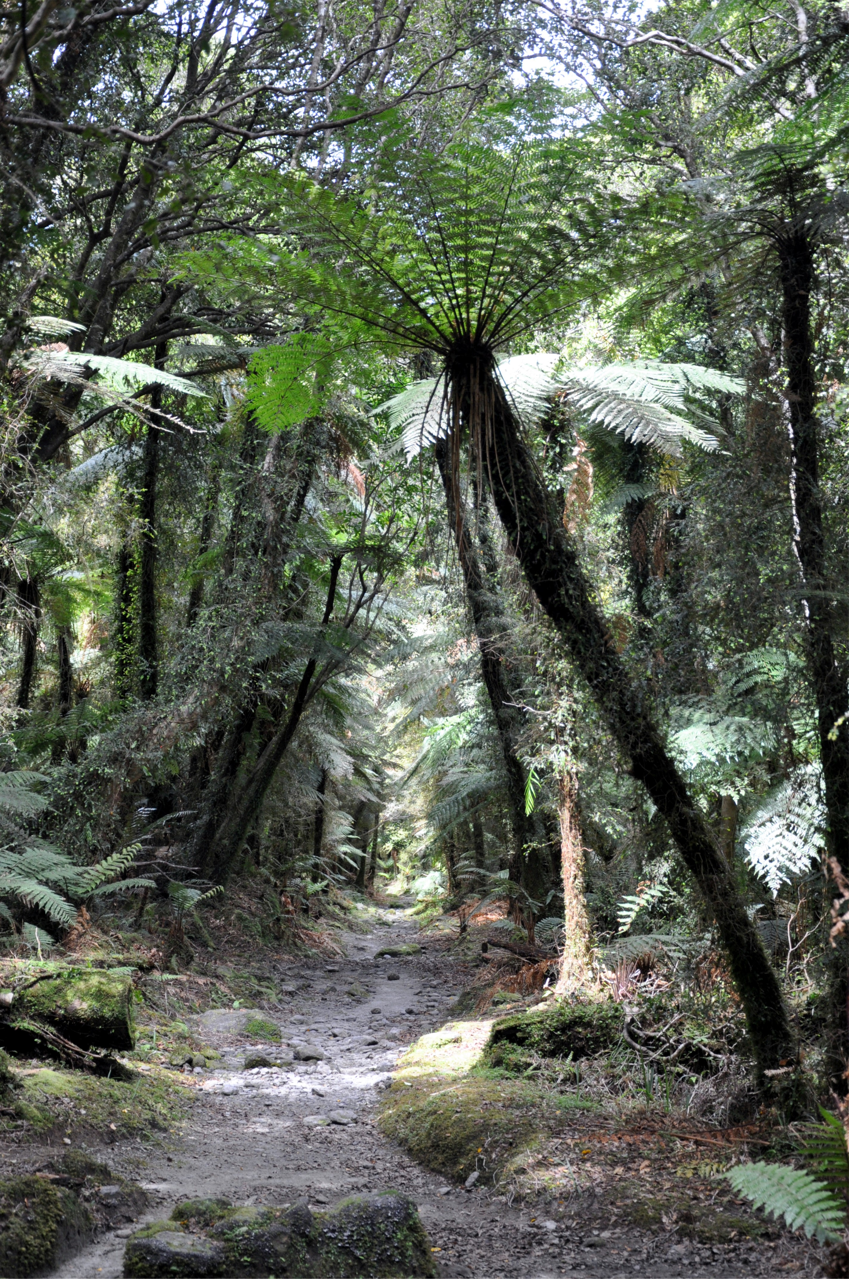
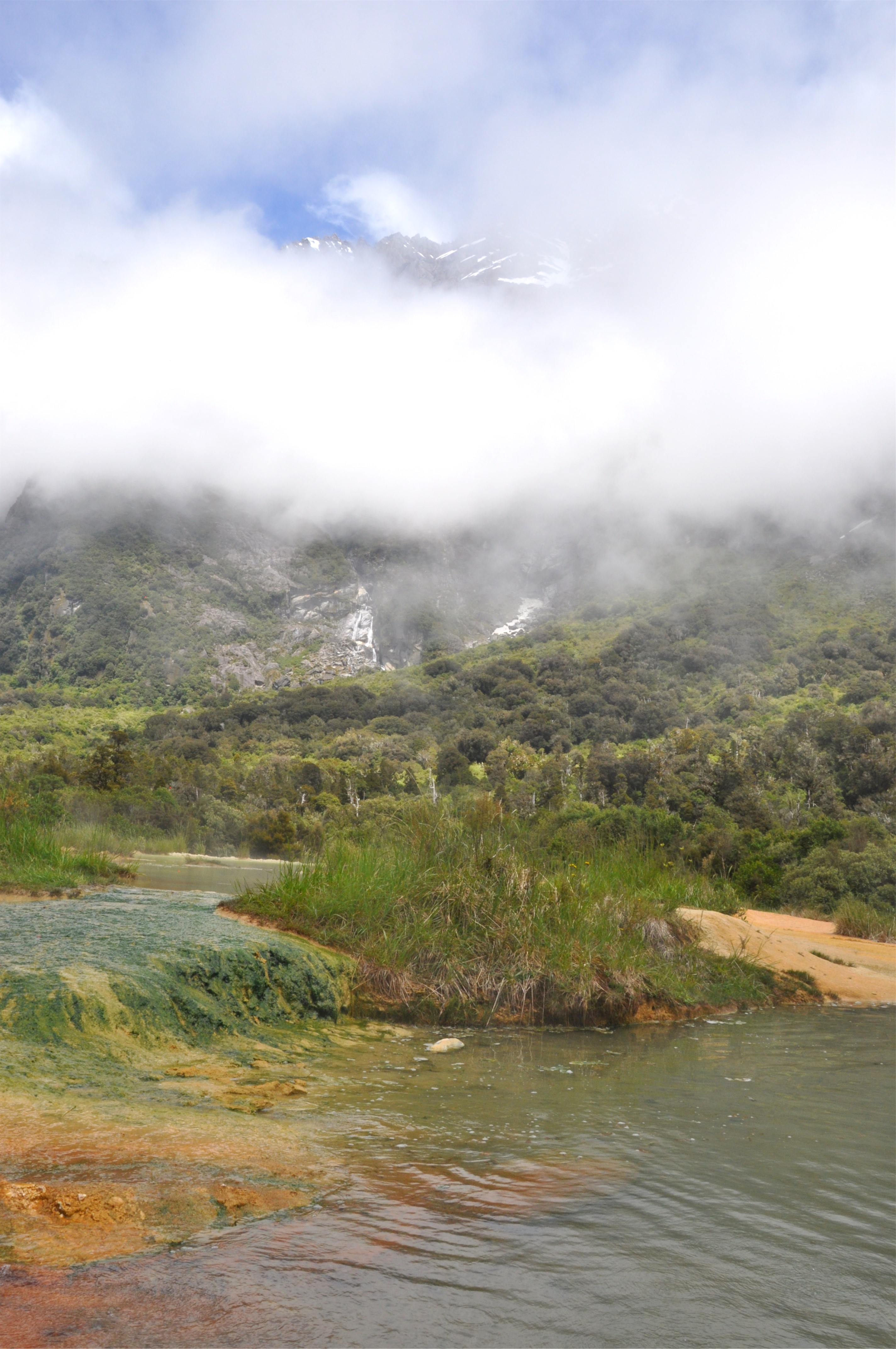
We explored some of the side trails around the hut, admiring the dense jungle that thrives in this wet environment. We passed by the old rock bivouac that some of the early groups that worked on this track used for shelter and a little further down the track we came to the hot springs this area is famous for.
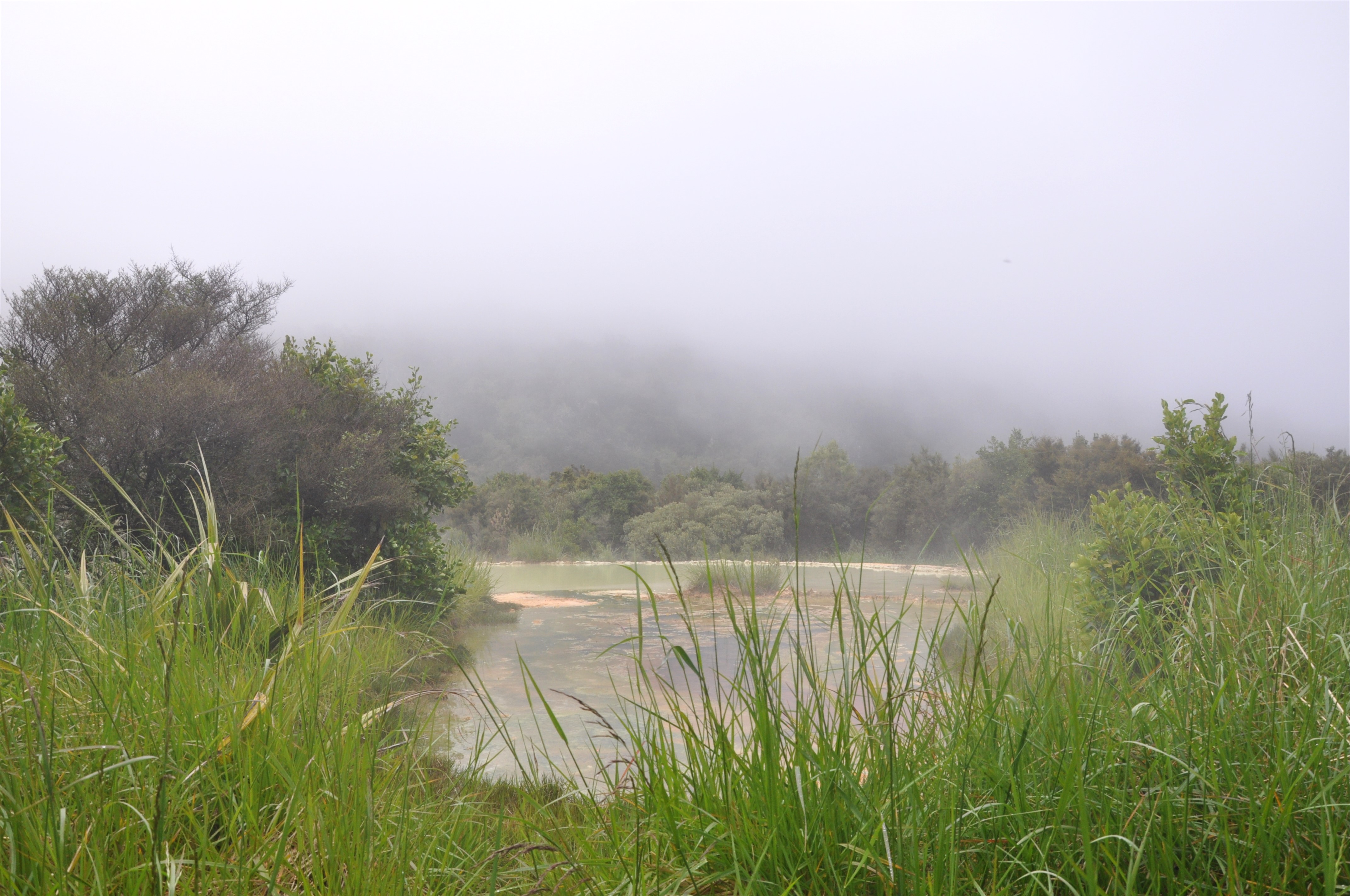
In the cloudy morning light, it was quite eerie to pop out of the dense bush into a steaming landscape of hot pools. The hot springs here are a result of the Alpine Fault, which is only about 12 kilometers away from the hut. Cold water seeps through the cracks and crevices deep underground, boils in the heat generated by the tectonic pressure, and then returns to the surface, the pool bubbles as underground gasses escape with the rising warm water.
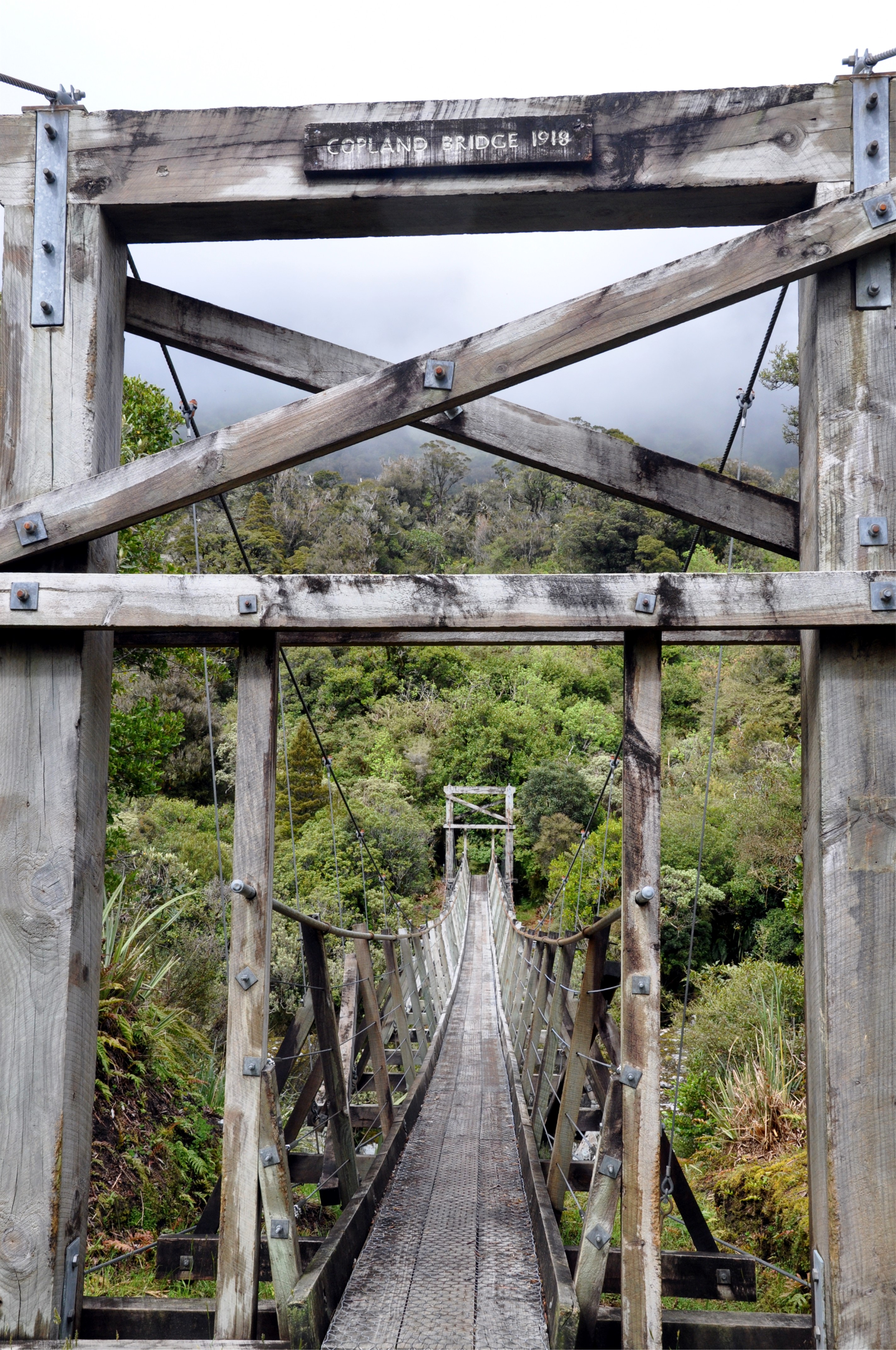
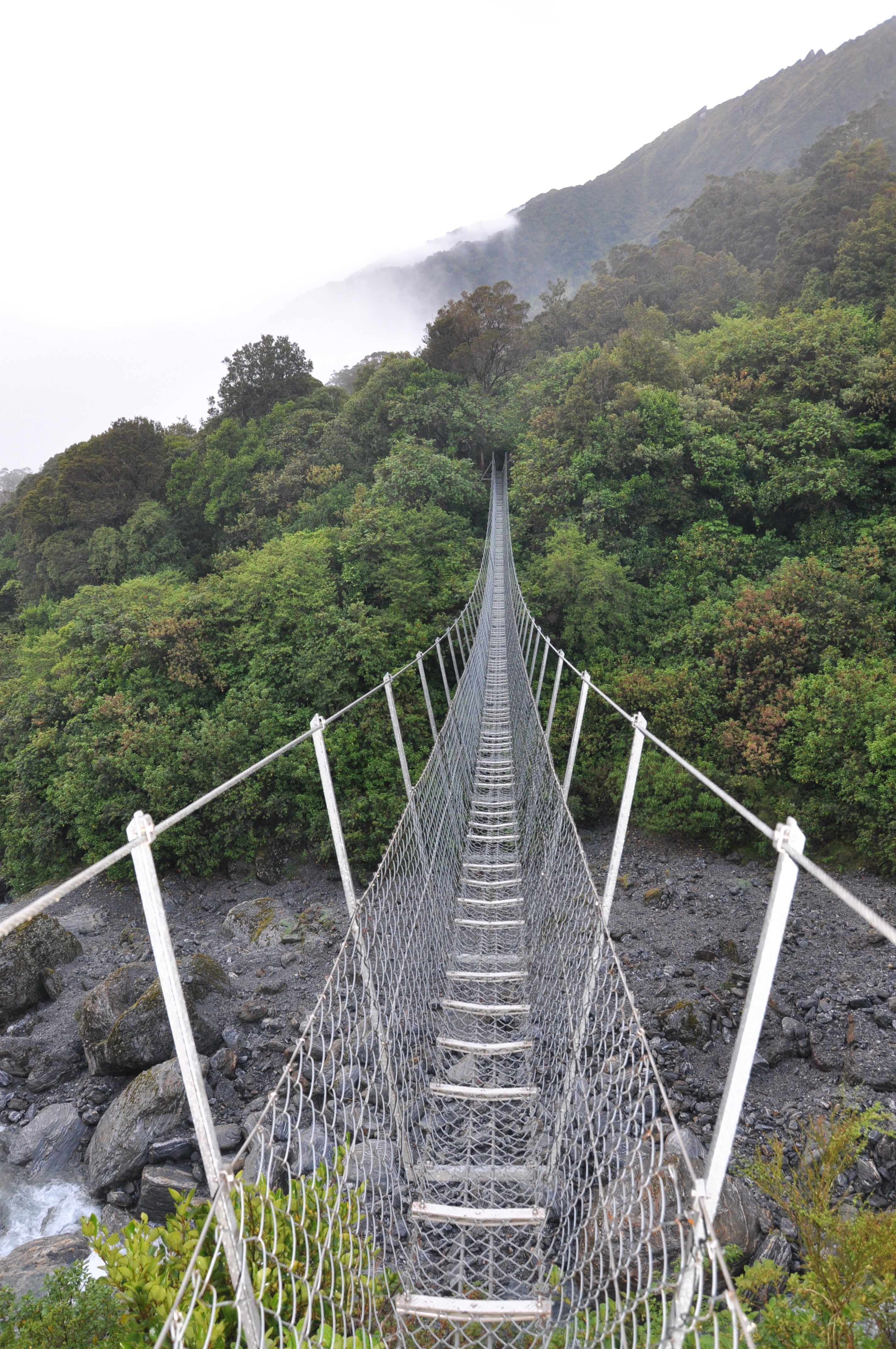
Deciding to save soaking in the hot pools for later, we continued to explore the Copland Valley around the hut. Our next stop was the swing bridge across the Copland River, part of the improvements made to the track in the early 1900’s when the area was marketed as a mountaineering route. Although, other than the date plaque, I am not sure how much of the original bridge remains as there were some significant repairs carried out a few years ago.
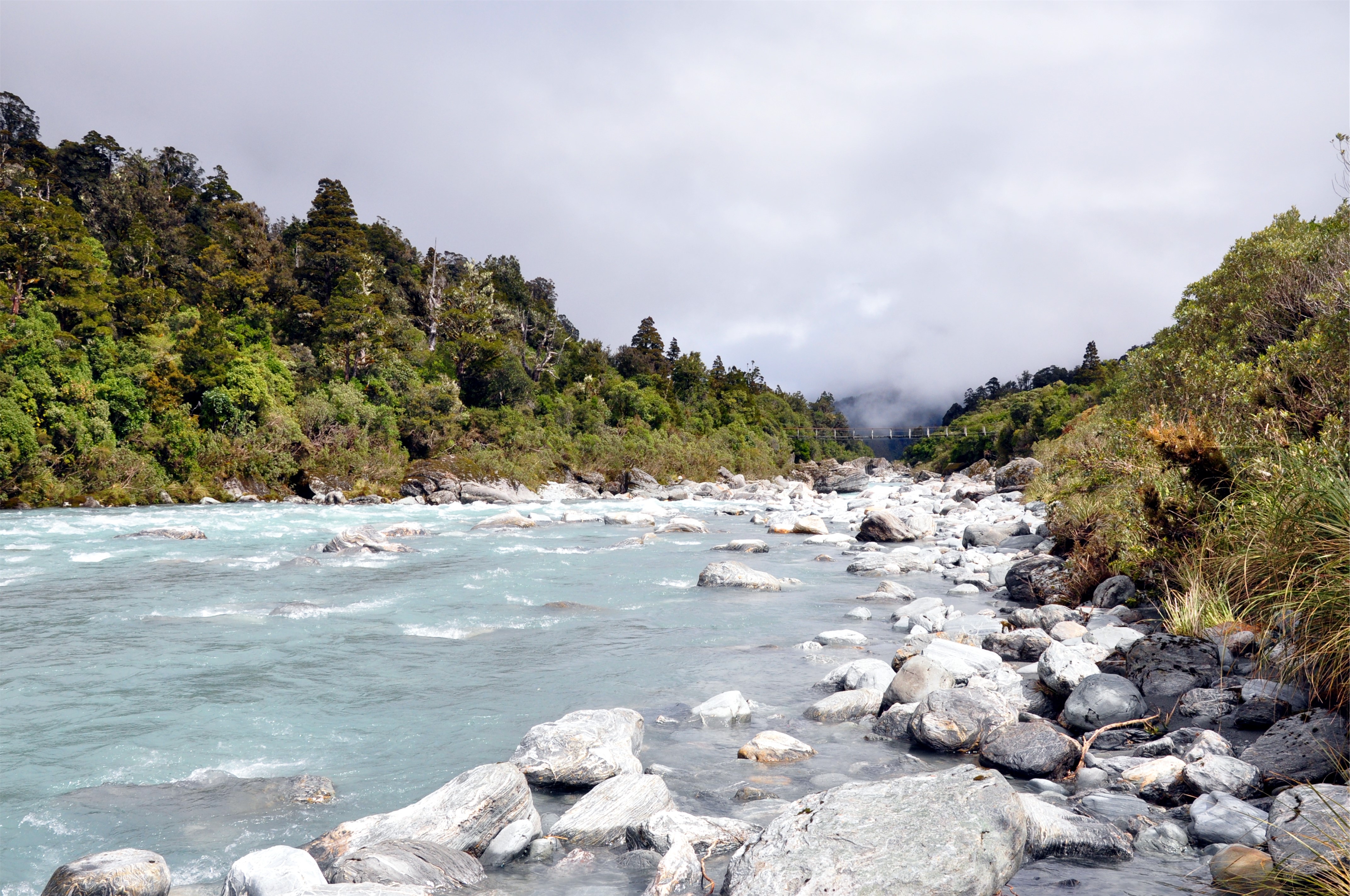
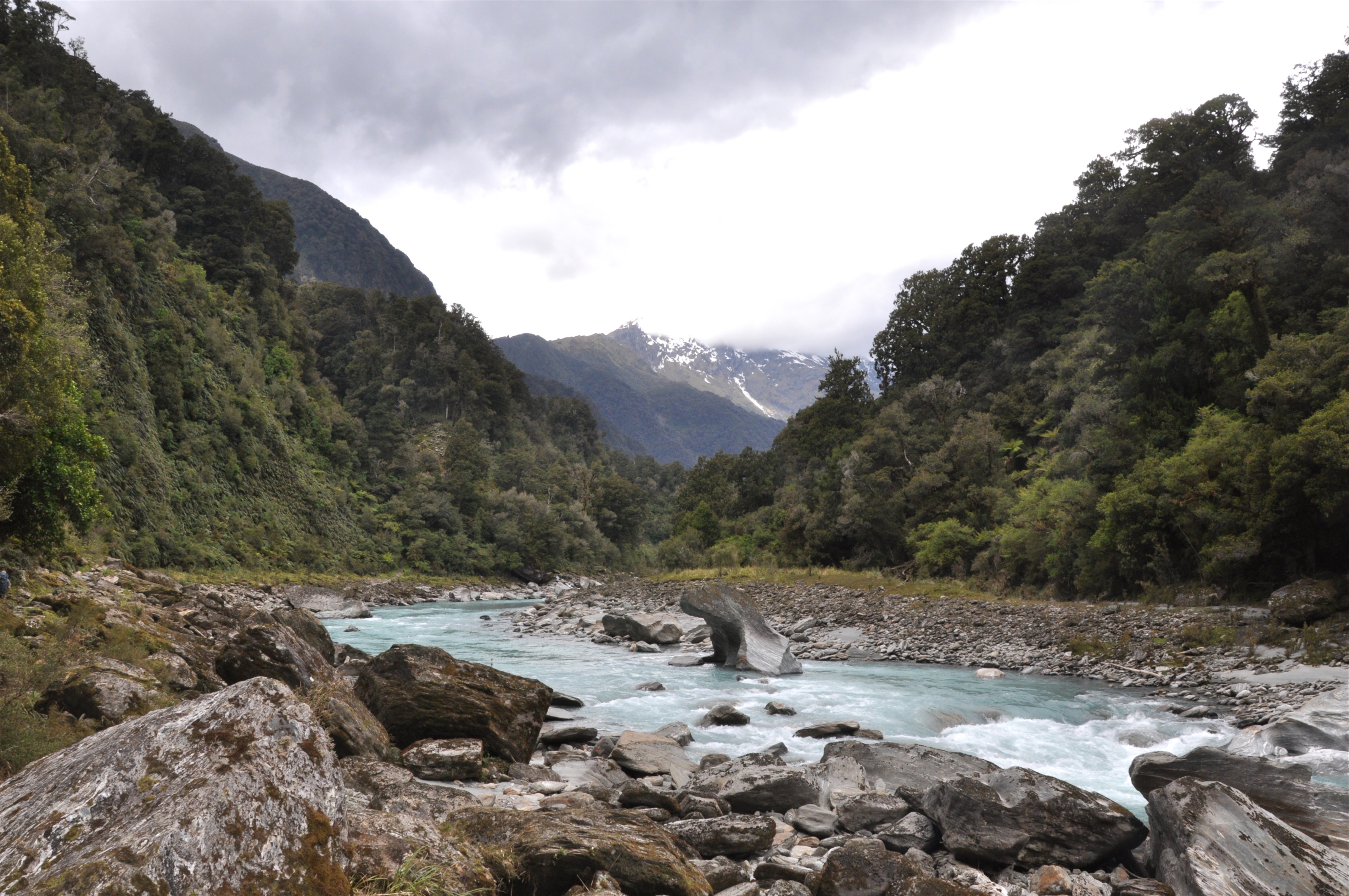
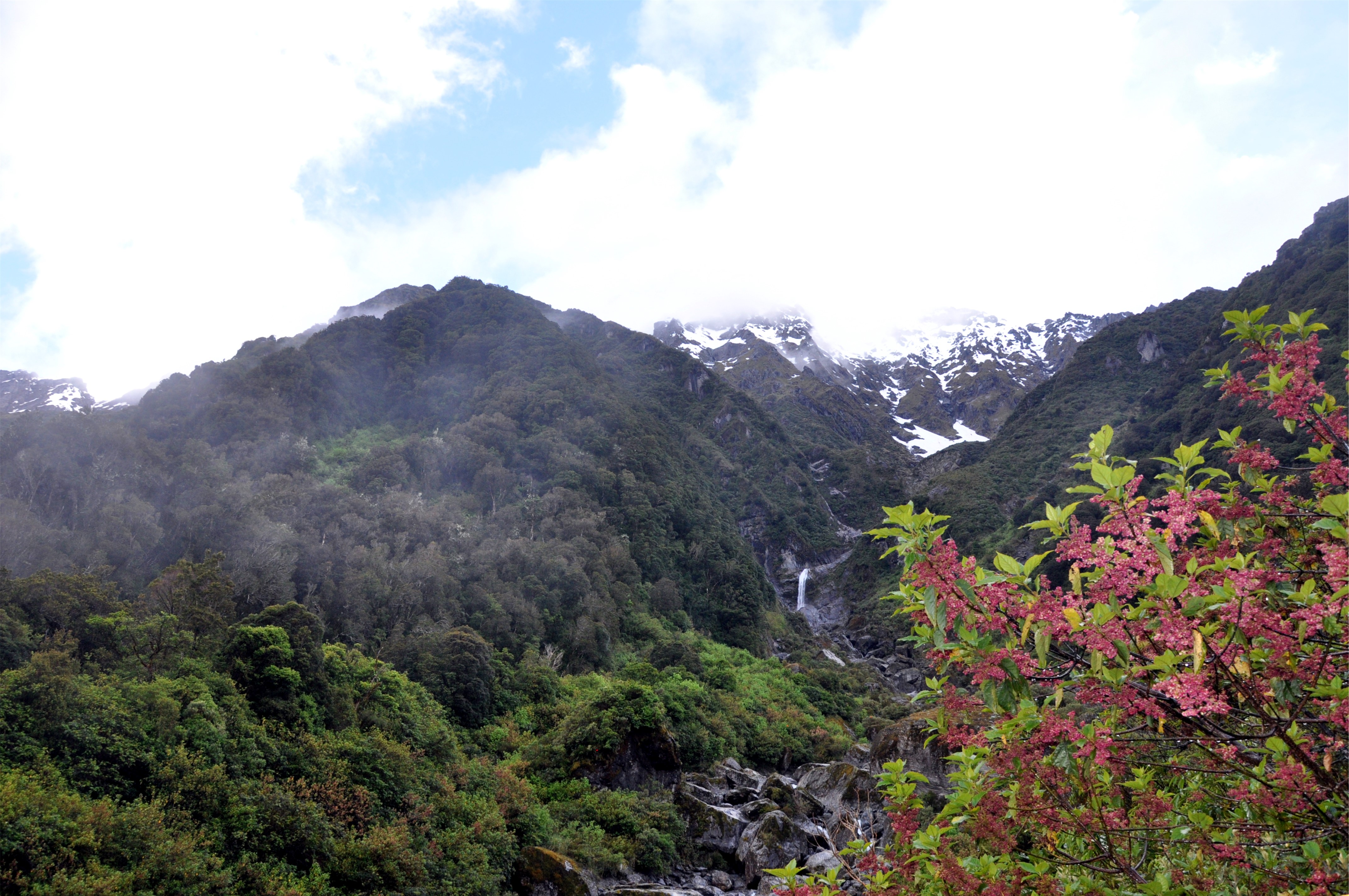
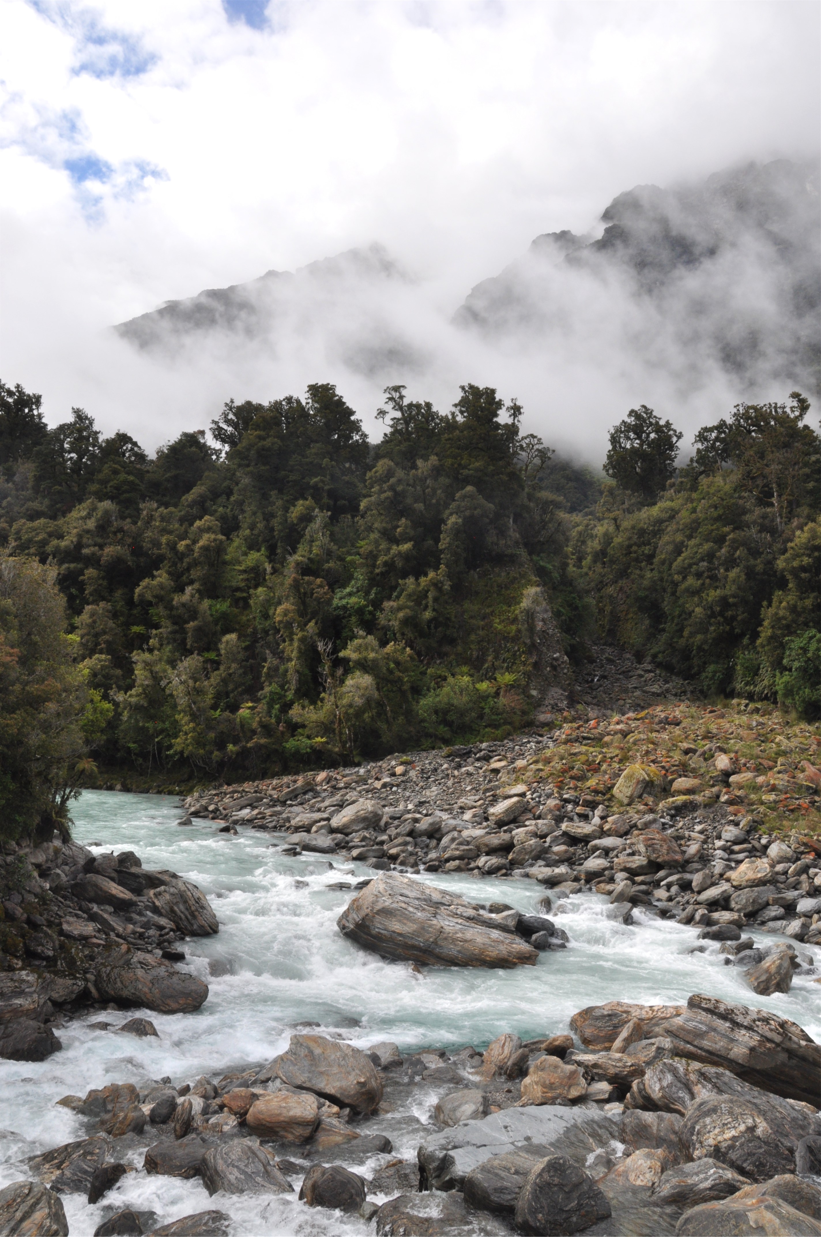
As we wandered the banks of the river, we noticed that the cloud was starting to lift and we were able to see parts of the upper Copland Valley towards the Sierra Range in the distance.
Returning to the hot pools, we decided to settle in for a soak. The pools here are constantly fed from the spring that is 56 degrees Celsius (133 Fahrenheit), but when mixed with the cold water from the nearby stream makes for a very relaxing temperature. With the clouds occasionally lifting just enough to give as a view of the surrounding mountains, it was a beautiful place to spend some time, especially as we had the pools to ourselves.
After returning to the hut for some dinner, we had an early night so that we could get up early the next day to start our hike back out. Once again the clouds drifted in and out of the valley and occasionally we would get a glimpse of the snowy peaks surrounding us.
With lighter packs, and re-energised legs after our soak in the hot springs, we were able to appreciate some of the swing bridges on the track. Although not as crazy as the three-wire bridges we encountered on the Hollyford Track, what these lacked in single balance wires, they made up for in length and distance above the rivers.
As we descended towards the ocean the clouds began to thicken and the rain that had been forecast started to arrive. We were surprised to notice how much higher some of the creeks were on our return journey after just thirty six hours of patchy rain; I can only imagine how wet the track is after a proper Westland rainstorm!
Despite the building clouds we were still able to get the occasional glimpse at the peaks and valleys around us when we crossed a river or came to a small break in the forest. Knowing how dense the forest is it is easy to see how during the first east to west crossing of the Alps through the Copland Valley one of the party got stuck in Supplejack (Ripogonum scandens) and as the trip report states it took over 15 minutes and some seriously foul language to cut him out!
Our trip out was much easier and the steady downhill grade meant that we were able to make good time towards the car. By the time we reached Rough Creek for the final river crossing we were pretty wet and muddy and decided on the Kiwi approach of just wading across the river in our shoes and clothes knowing that we could see the car.
We made it across the river and squelched our way over to the car to change out of our wet clothes whilst trying to fight off the swarms of sandflies that seemed to appear out of nowhere. Despite our best efforts it took another 200 kilometers (125 miles) of driving before we managed to get rid of all of the sandflies from the car!
As Māori legend states when Hine-nui-te-po (the goddess of the underworld) saw Fiordland, she deemed it too beautiful to be modified by man and so released sandflies as a deterrent to future visitors. It seems that the sandflies have worked, as despite the encountering a good number, it was a really beautiful valley and one we hope to return to one day, hopefully when there are a few less clouds.