Although annual rainfall in Paparoa National Park averages around 6,000 mm (235 inches), we were fortunate enough to wake up to a second day of clear skies and comfortable walking temperatures. We knew that our second day was going to be the easiest of this walk consisting of just a short undulating section of track along the ridgeline from the Ces Clark Hut to our next stop, Moonlight Tops Hut.
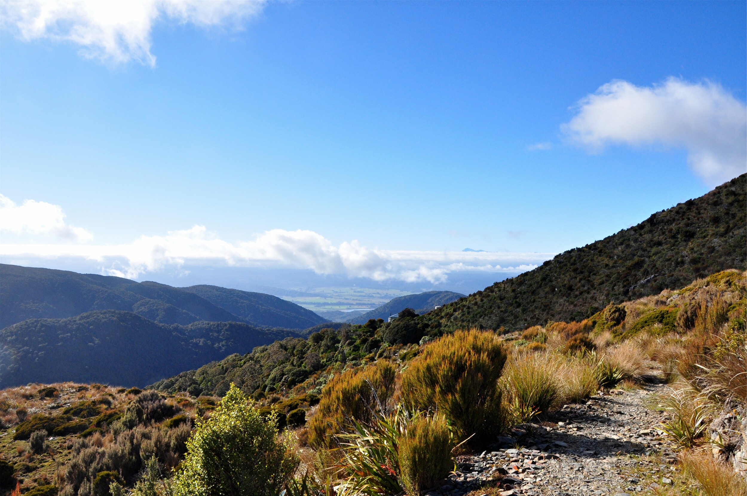
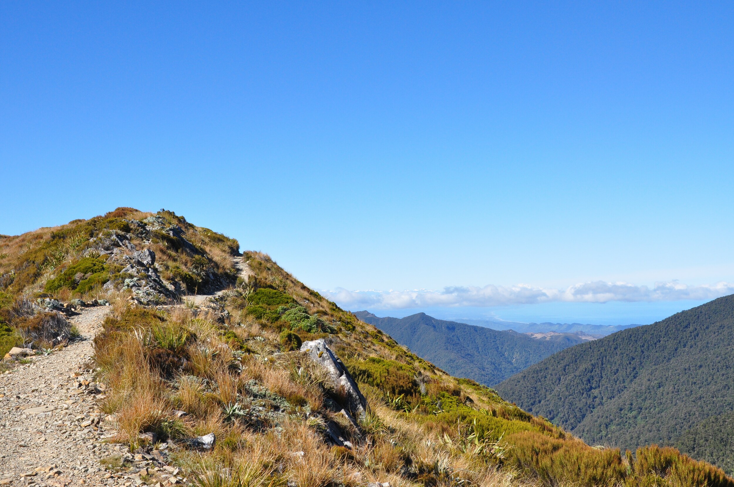
Leaving Ces Clark Hut (visible perched on the ridge in the photo above), we continued to climb gently towards the ridgeline. The track is a shared use track for walkers and mountain bikers and this meant that it was quite easy walking, with a nicely graded surface.
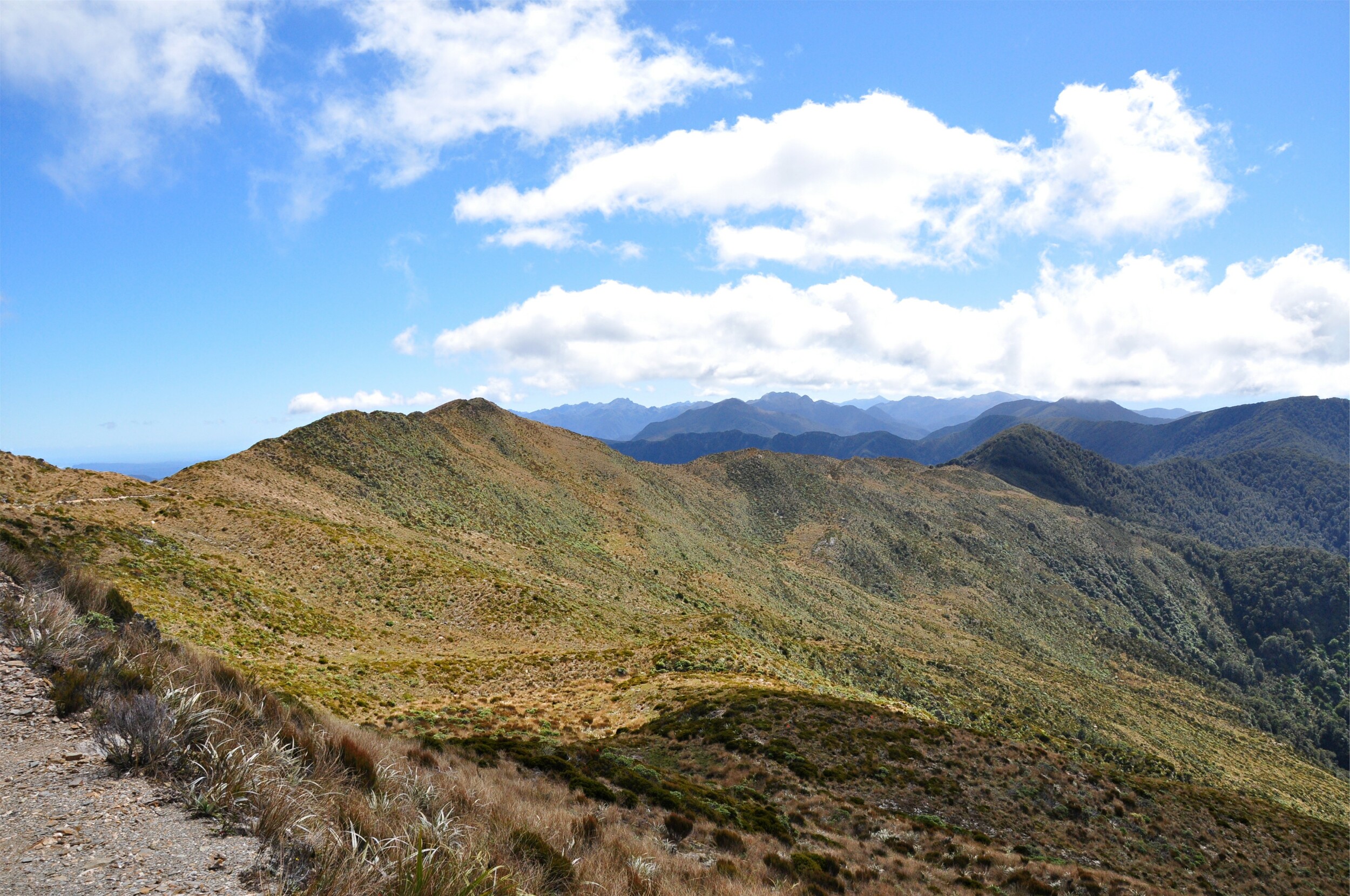
In contrast to the lush forest we had walked through on our first day, once we were above bush line (how they refer to treeline here), the vegetation was just scrub and tussock grass. This low-growing grass carpets much of the higher mountain slopes in New Zealand, making them look like smooth fields of wheat.
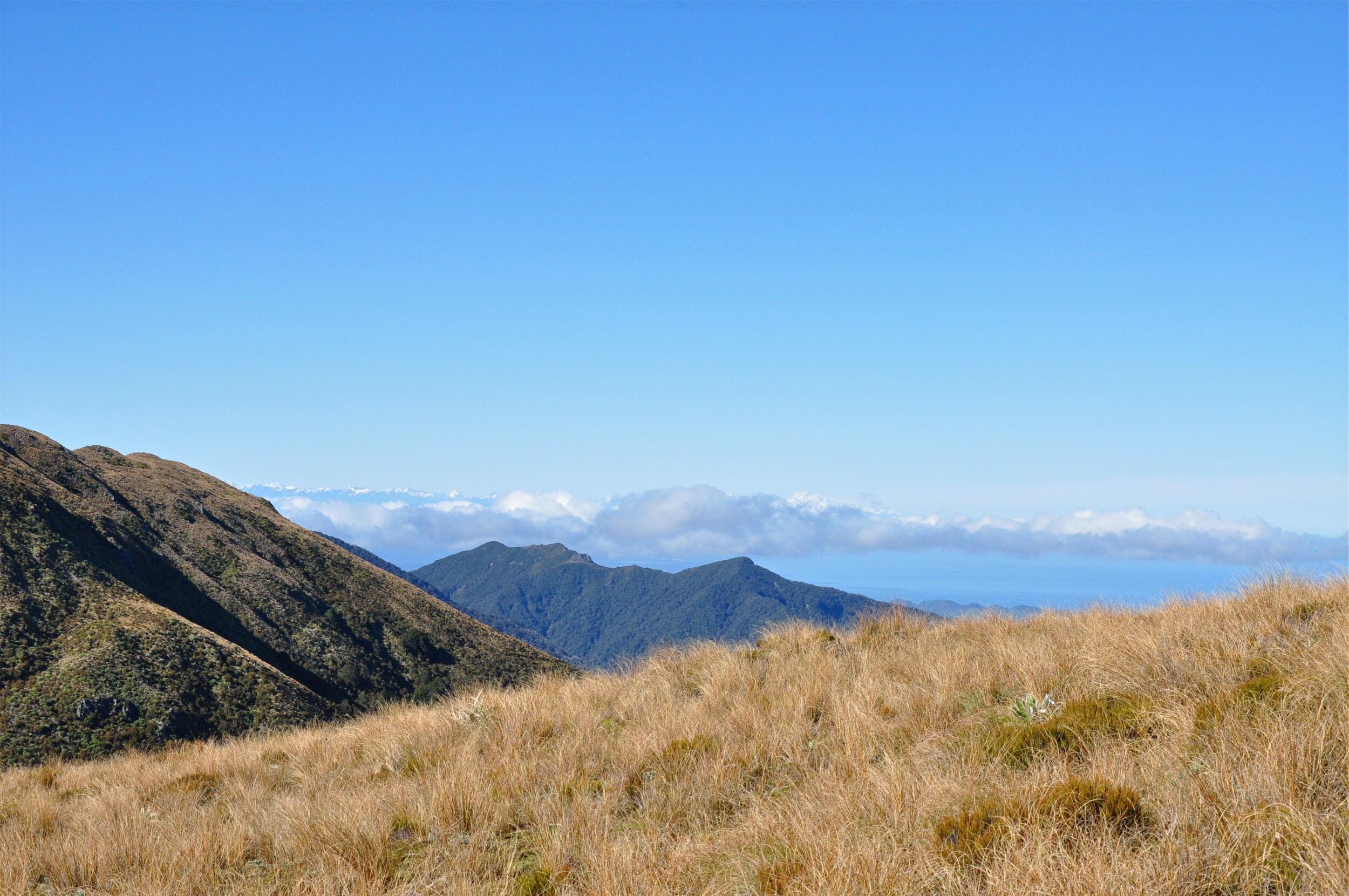
Reaching the first of the saddles on the ridgeline, we were able to get our first views to the south and west, where on the horizon we were able to make out Aoraki (Mount Cook) some two hundred kilometers away. When reading about this track, we knew it was technically possible to see Aoraki from this section of trail, however knowing the infamous West Coast weather, we were amazed at how easily were were able to pick out the distinctive shape on the horizon.
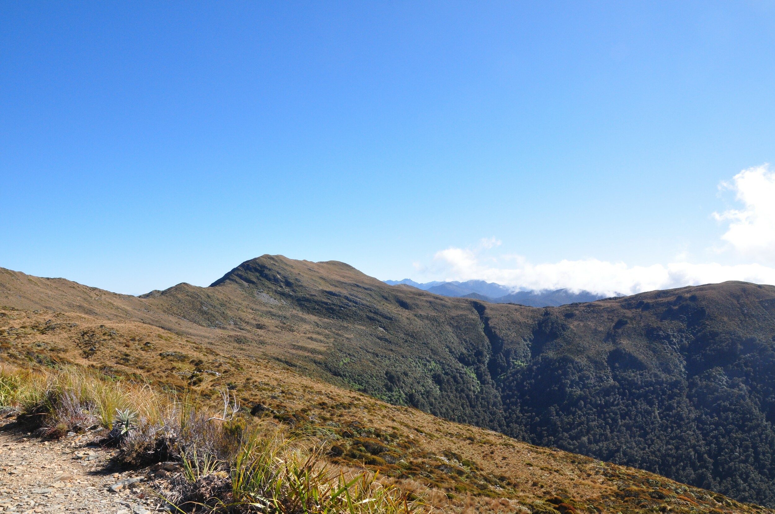
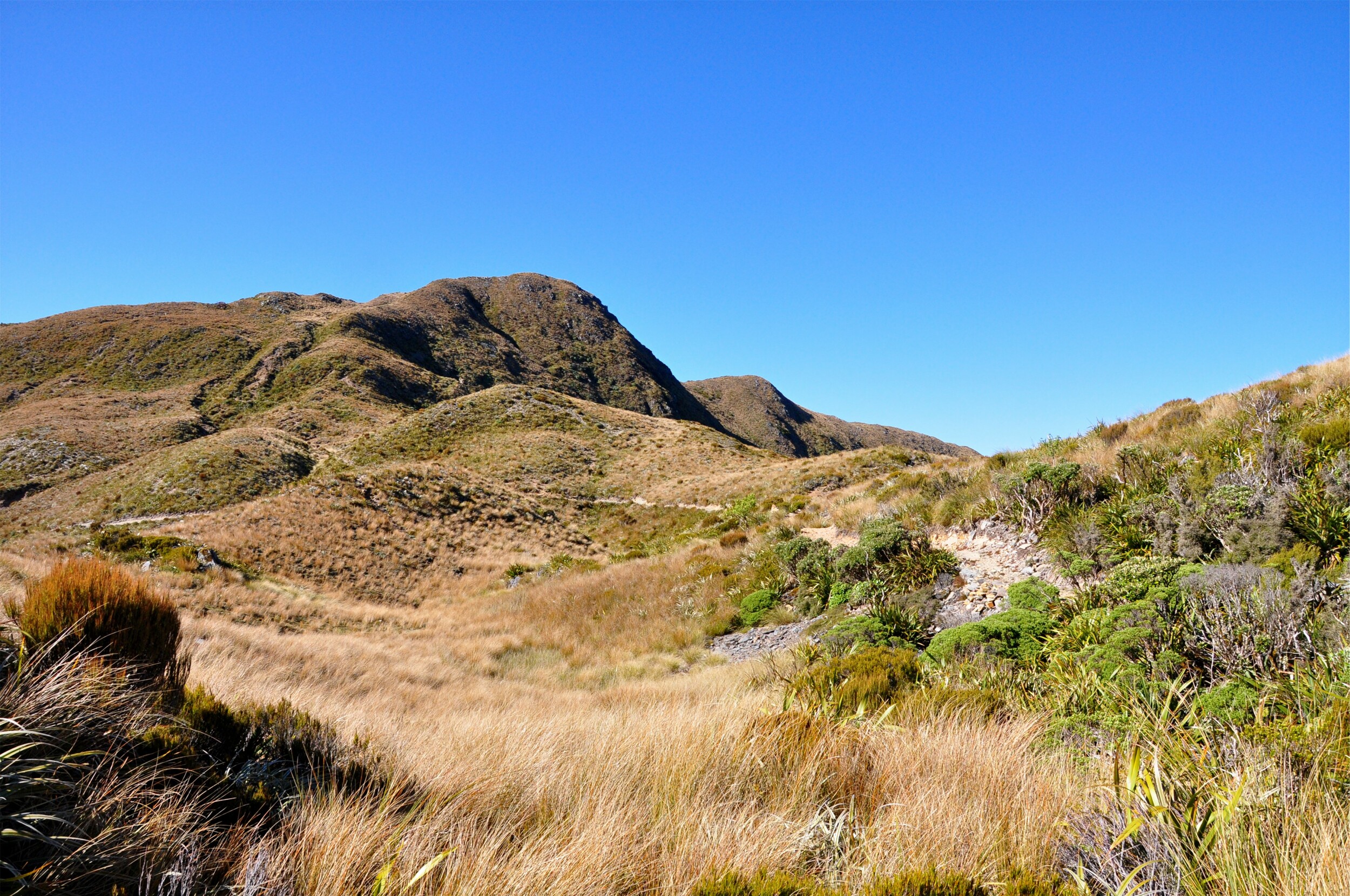
The track continued along the ridgeline, skirting the tops of the Roaring Meg and Moonlight Creek river basins. After a while the Croesus Track, the original miners track that we had been following branched off, heading down to the coast. The track was named for the nearby Croesus Gold Mining Company in Blackball, which in turn was named after King Croesus of Lydia (western Turkey) who ruled from 560-546 BCE and was reportedly extremely wealthy. It seems that the name was mostly just wishful thinking as very few of the gold mines in this area were ever really successful.
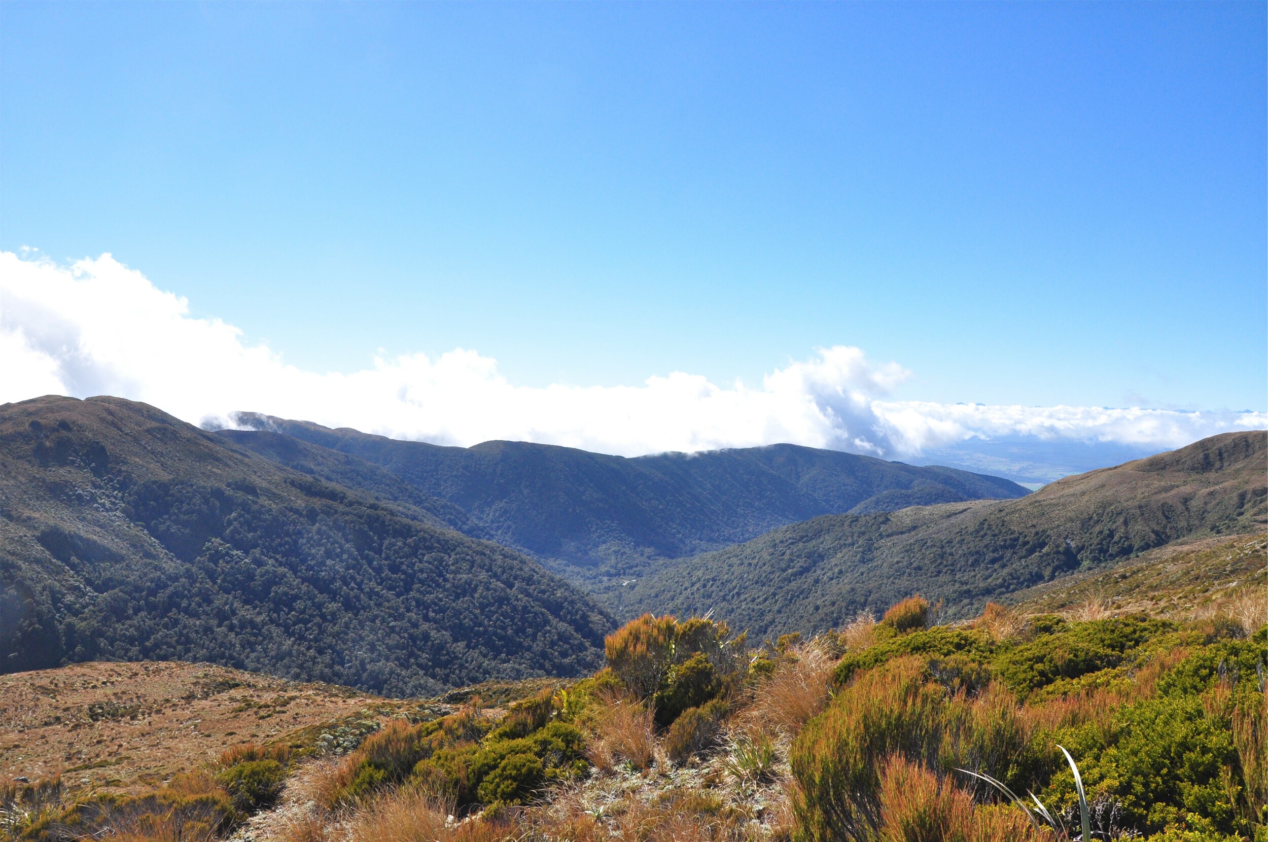
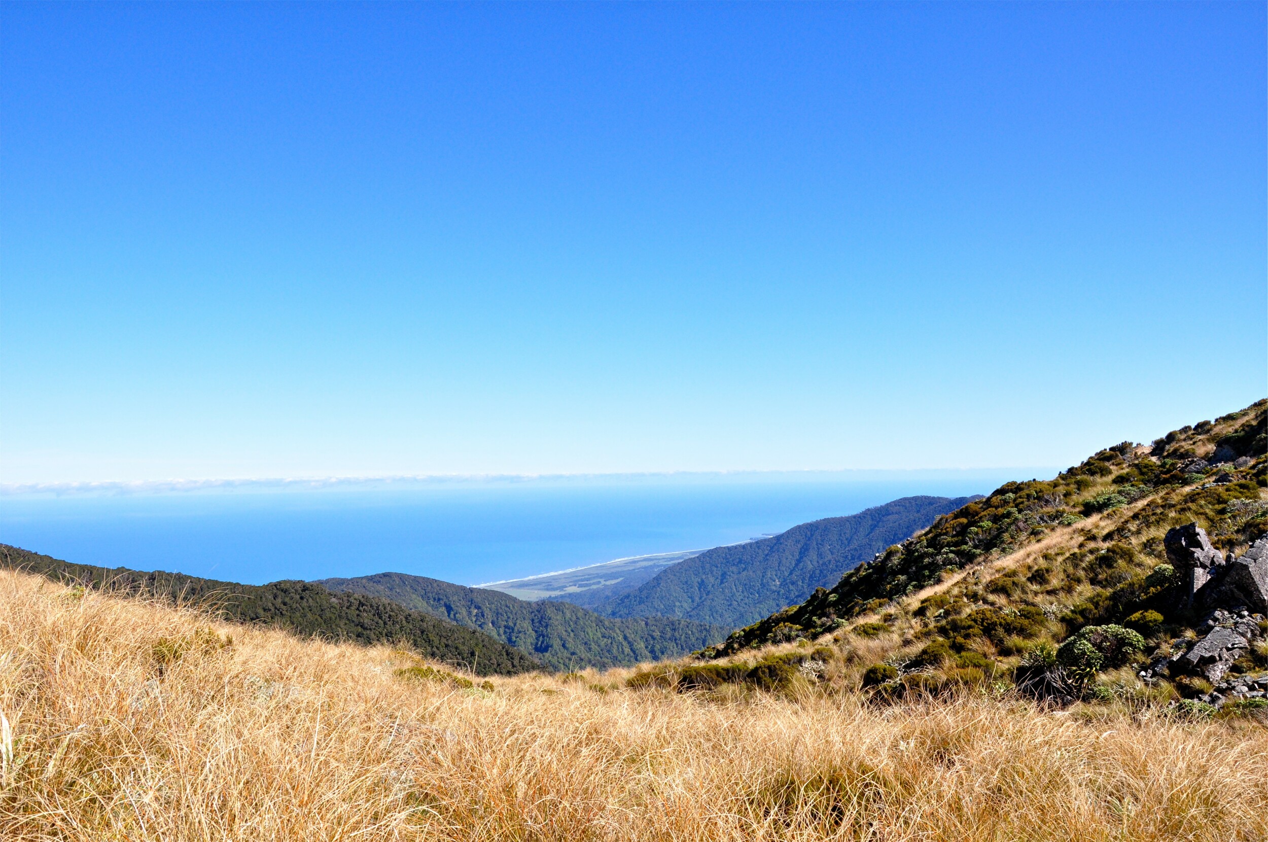
The Paparoa Track continued along the ridgeline, heading north towards Moonlight Tops Hut. Despite the fresh clear air coming off of the Tasman Sea to our left, inland the cloud was still spilling over the mountain tops as it was burnt away in the morning sun.
Construction on this new section of track started in 2017 with great care being taken to select the route across the tops that would minimise damage to the fragile ecosystem whilst still providing an interesting and safe route for hikers and bikers. Much of the initial route planning was done by the team that surveyed and built the Old Ghost Road Track a hundred or so kilometers up the coast.
The ridgeline walk was certain interesting, with the track dipping from the seaward to inland side of the ridge. Despite the relatively short distance we were constantly rewarded with different views and perspectives.
We arrived at the hut before lunch and got ourselves settled for the night. Not long after we arrived we heard a helicopter approach the hut and make it’s decent onto the helipad. We watched, intrigued from the deck as it headed a short distance away to pick up an odd shaped item, and took it off across the valley, returning a short while later for a second load.
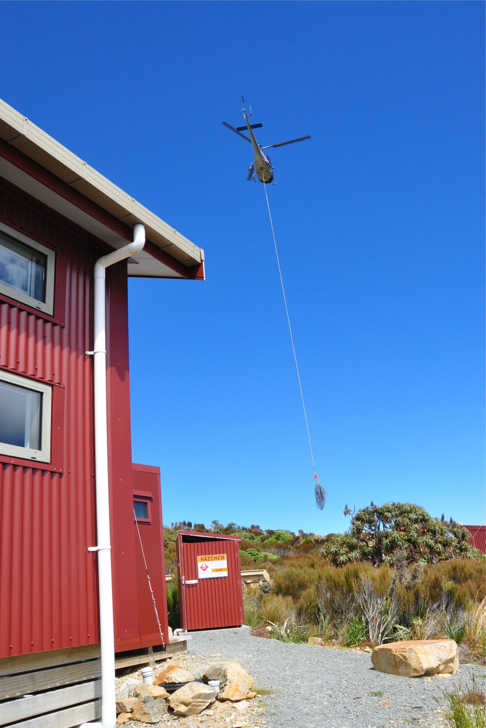
Later that evening we learnt from the Ranger that a couple of days earlier another helicopter had needed to rapidly ditch it’s load of a digger arm just after takeoff as it wasn’t properly balanced. The trip today was to collect the parts and drop them off at a nearby repair shop so that they could get the digger working again to take care of some of the fresh slips that had occurred on the trail.
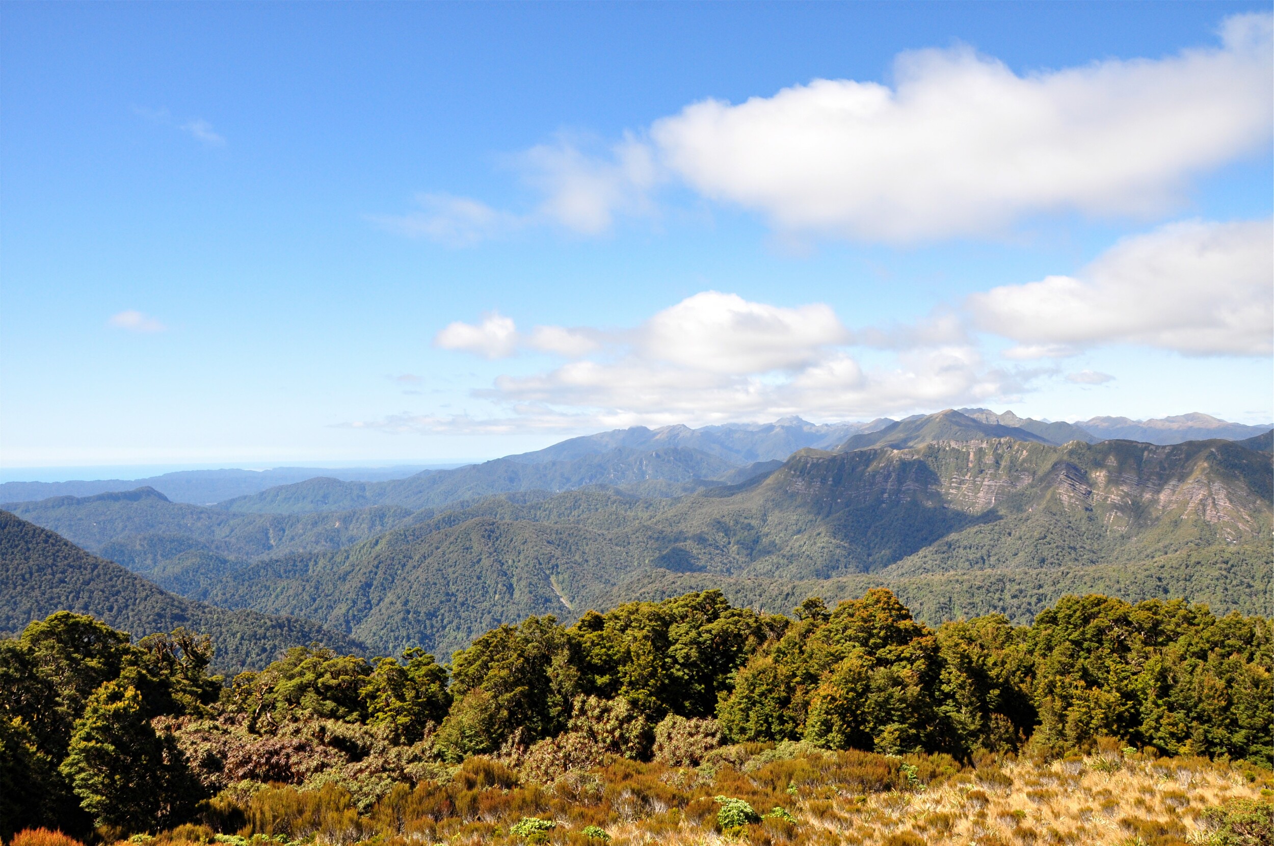
We spent much of the afternoon on the deck of the hut looking out across the valley towards the escarpment opposite. When the lighting was just right we could even pick out the track across the top that we would be walking the next day.
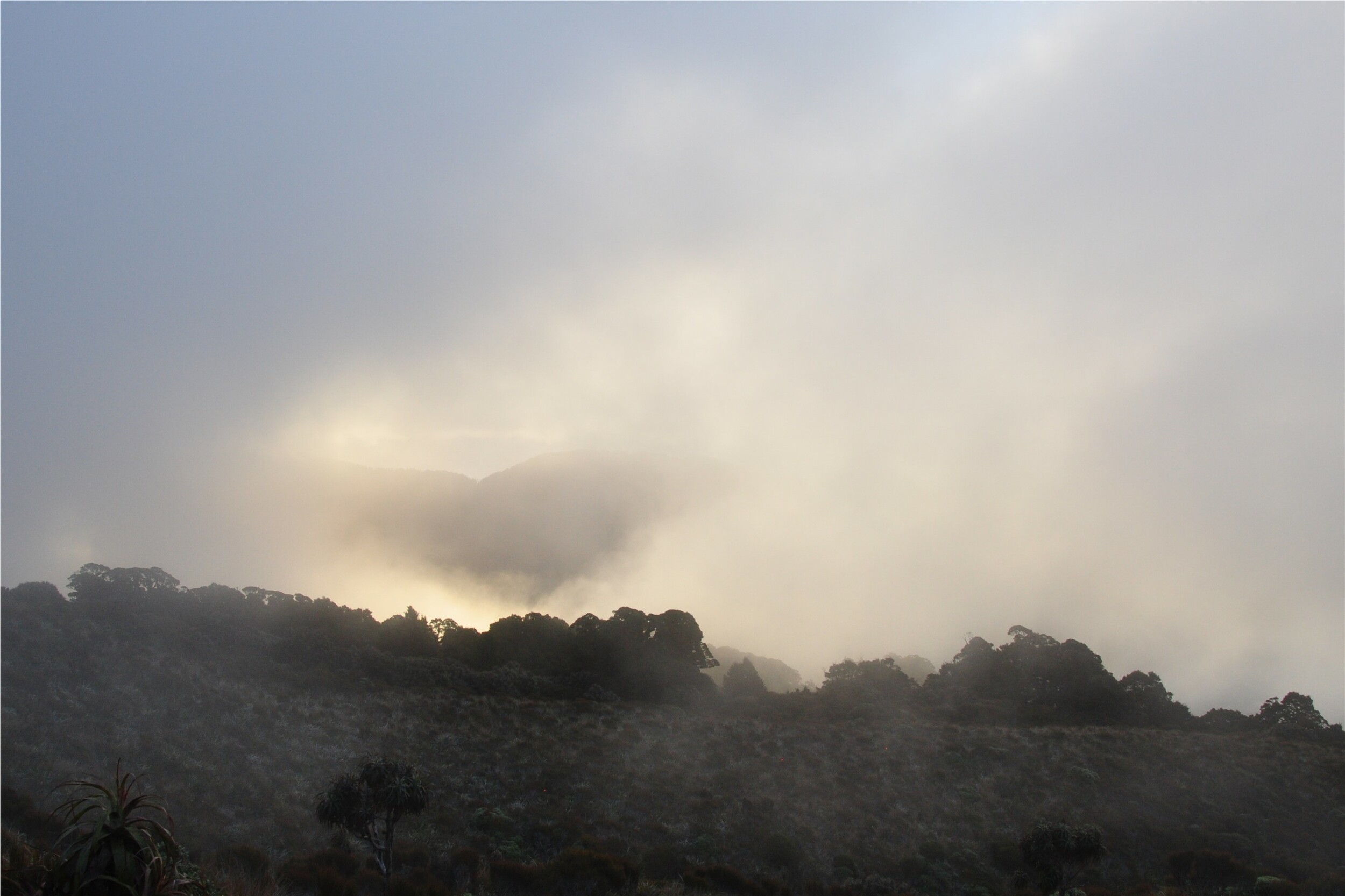
Perched high above the West Coast, Moonlight Tops Hut is known for stunning sunsets out over the Tasman Sea. After such a sunny and clear day, we had high hopes for a beautiful evening, however the infamous Greymouth ‘Barber’ wind scuttled our plans. The Barber is a katabatic wind, a downslope wind that also causes the formation of clouds on the hilltops, a fascinating local phenomenon, but not great for evening views!
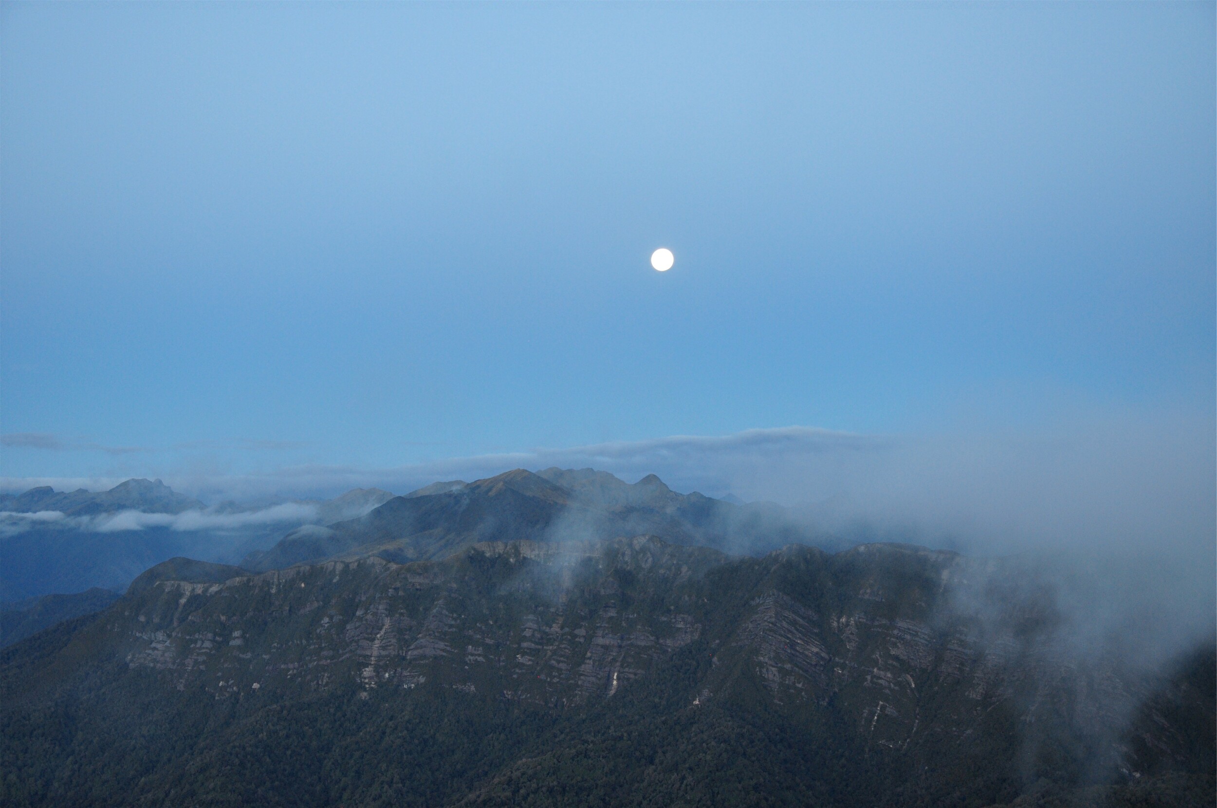
As we wandered back to the hut having been unable to see the sunset, we realised that the moon had risen over the escarpment opposite the hut. True to it’s name, we were able to enjoy the moonlight over the Paparoa Range from the deck of Moonlight Tops hut.