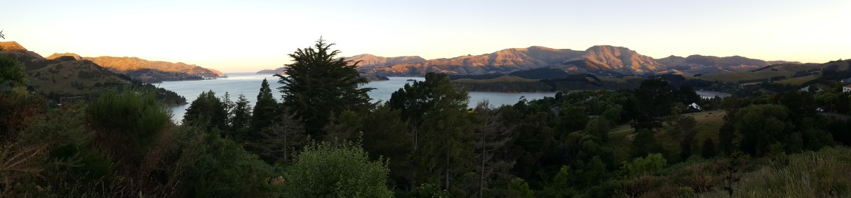
The Queen’s Birthday weekend in early June is the last long weekend here for a few months. Not really knowing what weather to expect, we were able to find a good deal on a campervan rental which allowed us to pick a route depending on the weather. As the weekend approached it seemed that the west coast was going to have the best weather and so on Friday night we picked up the campervan and headed into the mountains.
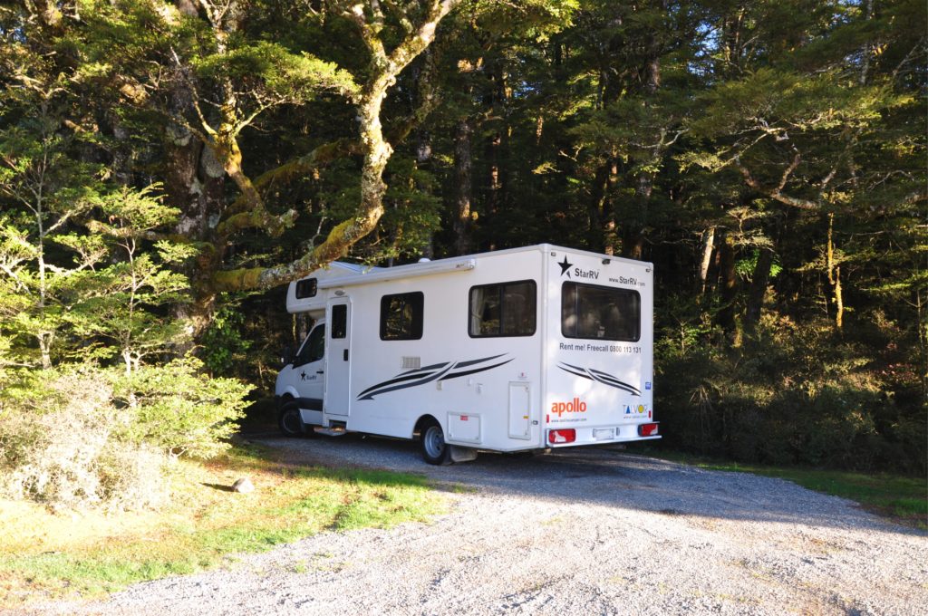
We somehow managed to rent the biggest campervan we had ever seen! Getting it into some of the trail head car parks was a bit of a challenge, but we appreciated the extra space in the winter evenings when it got dark early and we wanted to settle in and relax. We spent the first night at Marble Hill Campground on Lewis Pass. High in the mountains, it was a chilly night, although we were pleasantly warm in our giant campervan.
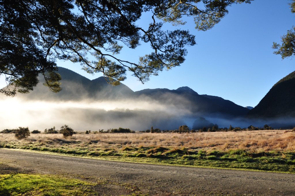
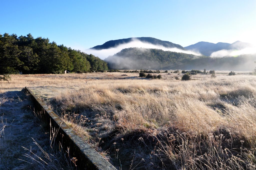
After watching the fog lift in the valley over breakfast we set out to explore the area. I had heard at work that Marble Hill campground was actually the site of an old geological experiment looking at the movement of the Alpine Fault. The fault marks the boundary of the Australian and Pacific plates and runs the length of the Southern Alps.
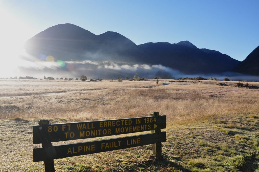
We headed off across the field towards the concrete wall in the distance. This year marks the 300th anniversary of the last major rupture of the Alpine fault and the lack of movement at this site shows that the fault makes sudden, large movements rather than small shifts, which is actually typical of nearly all the active faults in New Zealand and the rest of the world.
We stood for a few minutes on the fault, straddling the plate boundary, but then the lure of the pie shop in the next town became too strong and we decided to get on the road and continue over the pass towards the west coast. After a brief stop in Reefton at the famous pie shop, we made our way up to the north west corner of the South Island.