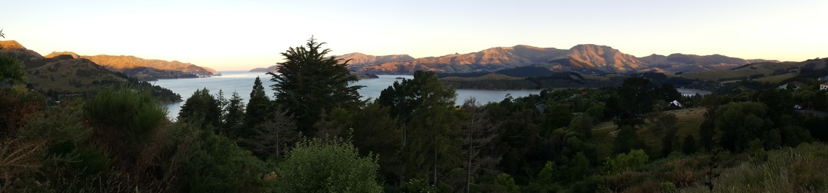
With the mountains still suffering from a lack of snow and another sunny weekend in the forecast we decided it was the perfect opportunity to explore some more of the coastline around Christchurch. Having spent some time on the Banks Peninsula south of Christchurch we decided this time to head north and explore the area around Pegasus Bay.
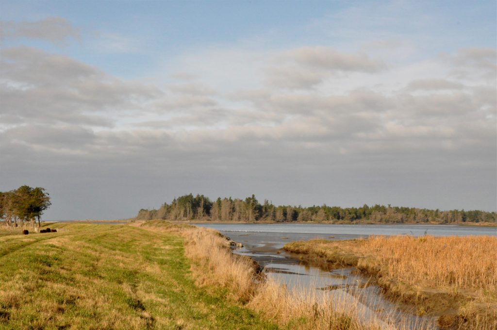
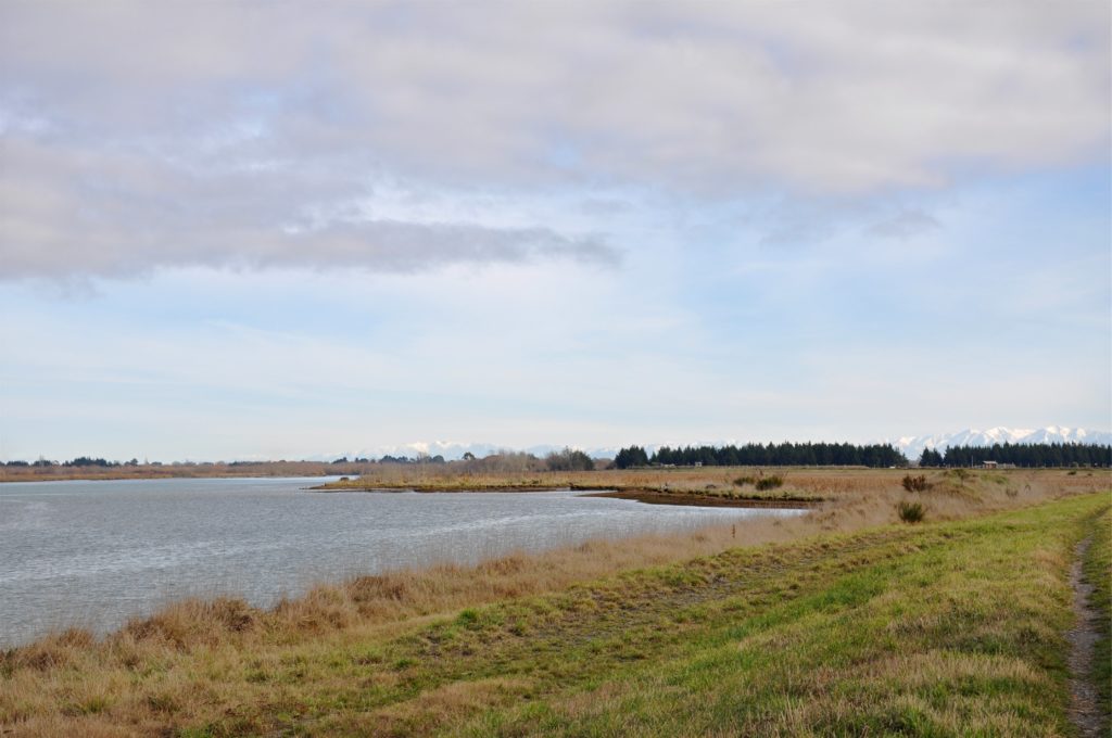
We drove up to the town of Kaiapoi just north of Christchurch and picked up the Pegasus Bay Walkway. The trail here follows the banks of the Waimakariri River giving us great views out towards the estuary and over the surrounding marshland.
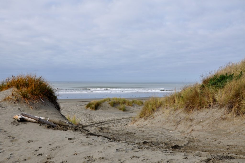
Just before we reached the mouth of the river, we turned north and paralleled the coast through the pine forests that border the ocean here. After a little while we decided to head out towards the ocean and walked through the dunes to reach the beach.
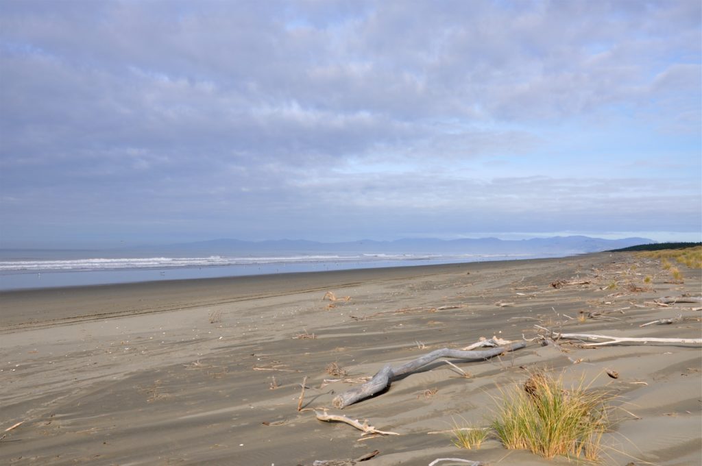
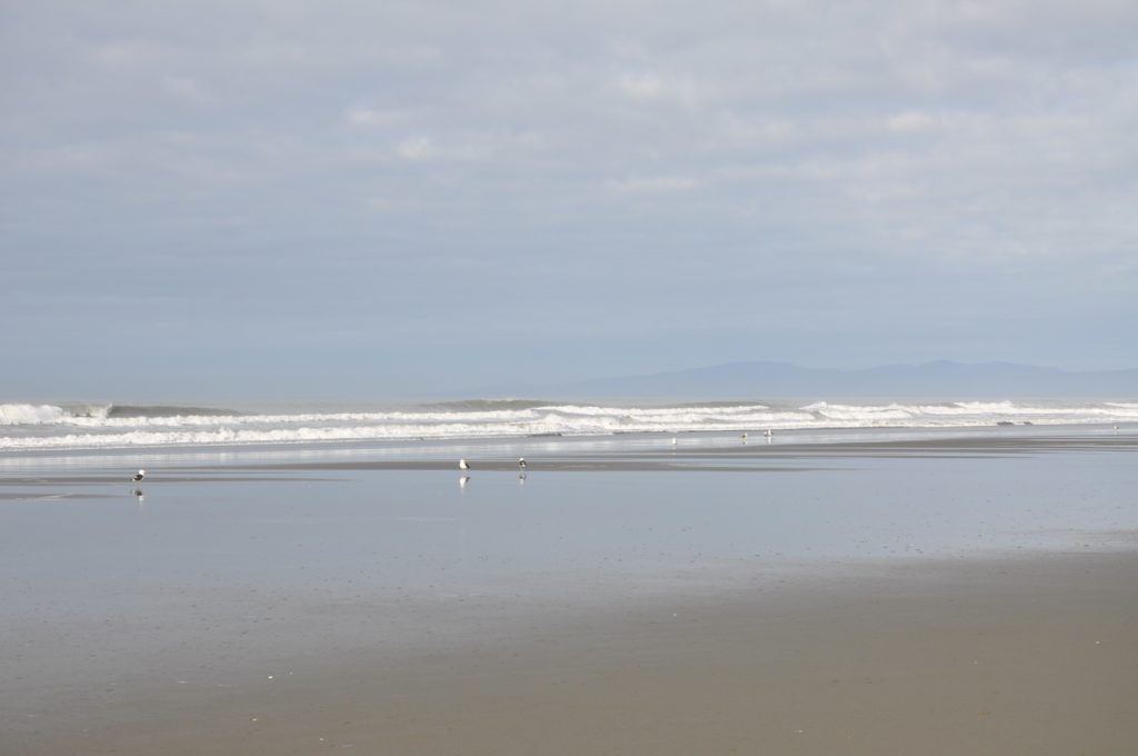
We found a piece of driftwood on which to enjoy our picnic and look out over the deserted beach. It is always surprising how empty the beaches are despite being less than half an hour from Christchurch.
As we walked back to the trailhead along the beach we were able to enjoy watching the gulls cracking open shells. We have seen them do this before on the sand here at low tide and it is always interesting to see which birds have the most successful technique!
We left the beach and picked up the trail along the riverbank. As we walked back inland we could see the snow capped mountains in the distance.
We really enjoyed this loop hike so close to Christchurch, I think it was much more interesting and relaxing than either of us had expected. As interesting as the scenery we passed through was, I think the thing that stood out most to us both was actually the area where the trail head was.
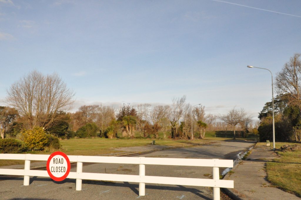
This section of Kaiapoi had to be abandoned after the earthquake here as this was one of the areas impacted by liquifaction. As usual, I had taken a look at the trailhead on Google Maps when I was planning the hike and had seen a typical residential neighbourhood. When we arrived we were met with empty roads except for the odd street light or utility box. A few of the streets were still open to allow access to the trail and driving on those you quickly became aware of how much they undulated as the ground beneath them had moved and settled as a result of the earthquake. It was incredible to see the difference a few years had made from the images online to what we were able to see around us.