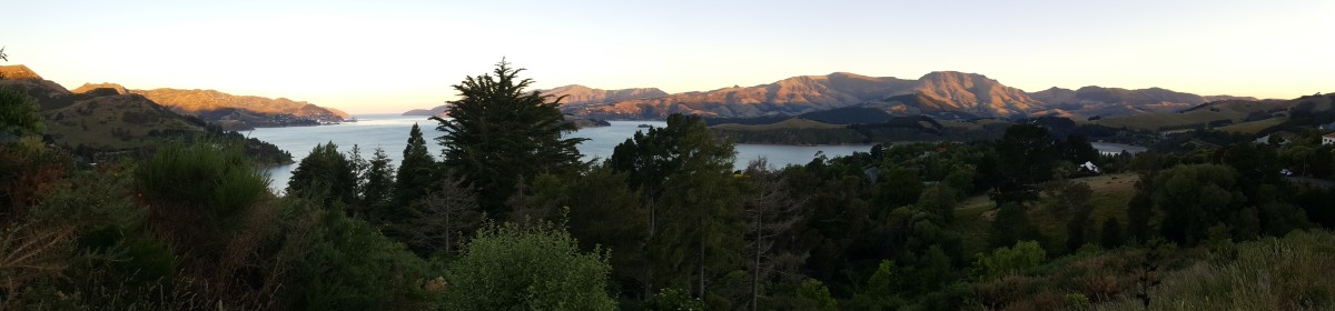
After a relaxing afternoon at Moonlight Tops Hut, we woke up early the next day feeling refreshed and ready to hike. We were able to get a pretty early start, and began our gentle descent into the forest at the head of the Punakaiki River basin, traversing our way across towards the escarpment we had seen from the Moonlight Tops Hut.

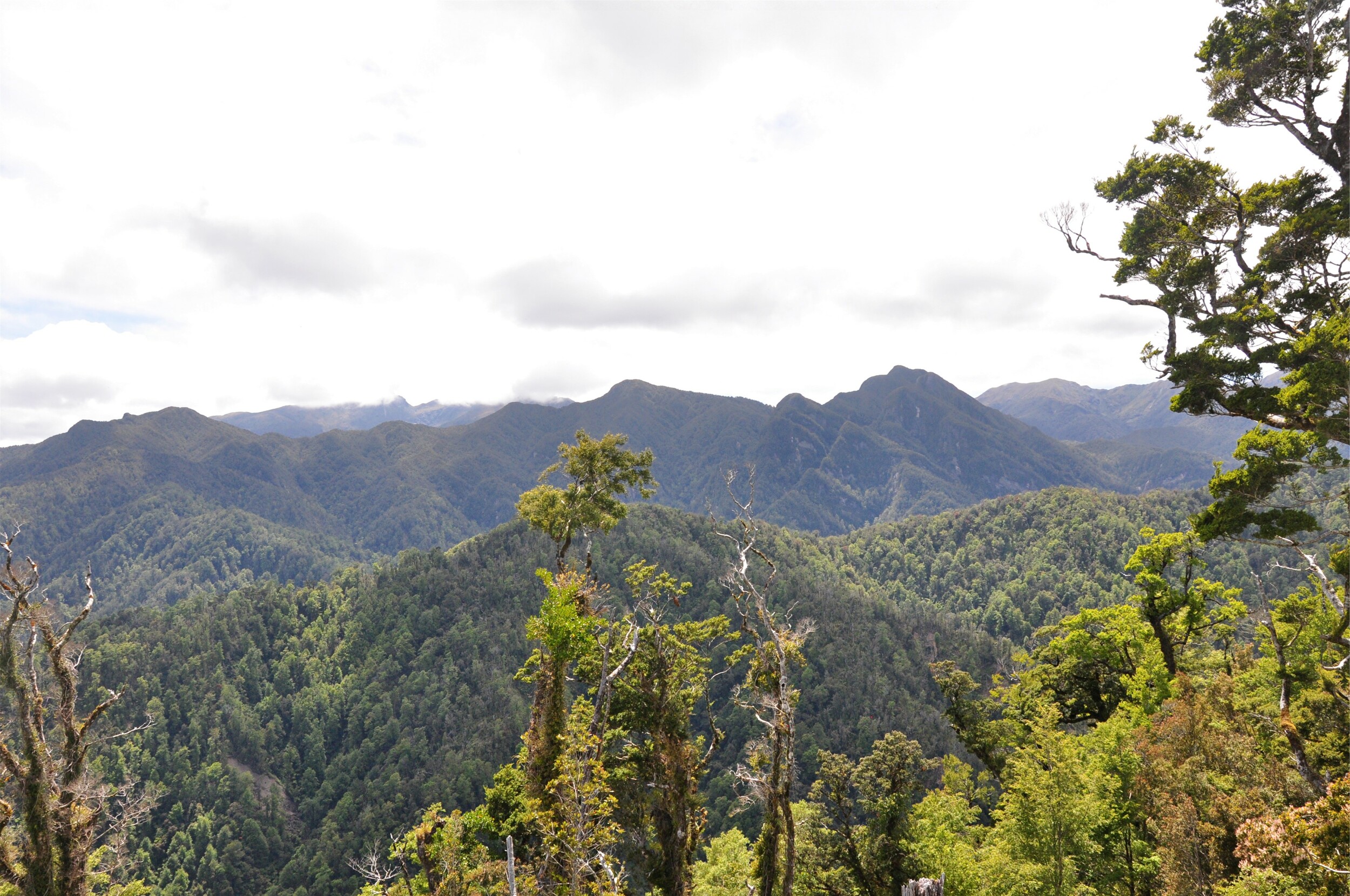
The easy grade allowed us to make good time and so it wasn’t long before we found ourselves among the scrub brush on the ridge that we had been watching from the hut on the previous afternoon. The clear morning light gave us almost perfect conditions for enjoying the views in every direction from the ridge.
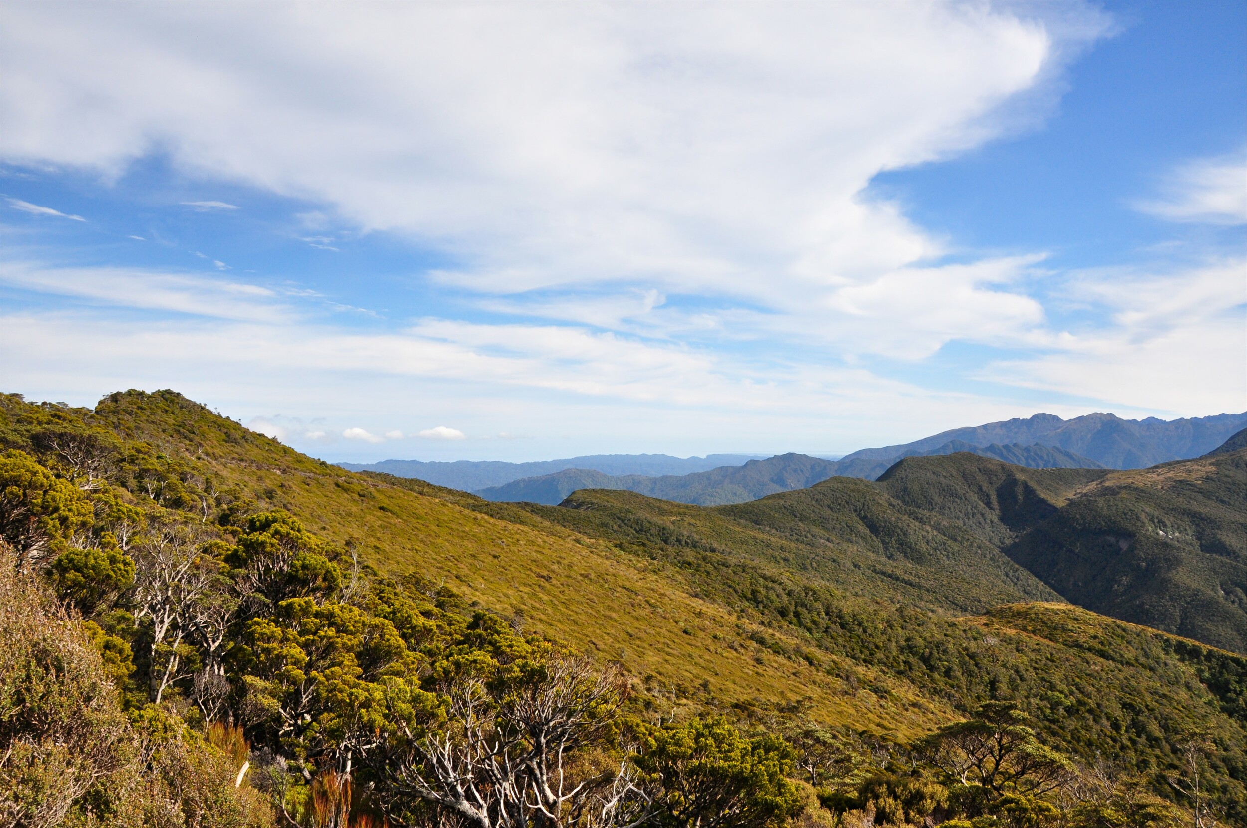
The ridge skirted around the upper reaches of the Pike River Valley, a name which is easily recognised in New Zealand as the site of one of New Zealand’s most deadly mining disasters in recent history. The accident started with an explosion deep inside the coal mine in November 2010, and subsequent explosions have made it impossible to recover the bodies of the 29 miners who were in the mine at the time.
The families of the 29 miners requested that the land around the mine be incorporated into the Paparoa National Park and that the Paparoa Great Walk Track be created as a memorial. In addition to recognising the miners that lost their lives, it was hoped that the track would bring much-needed tourism and conservation jobs to the area. It was strange to see such a peaceful valley, knowing what had happened beneath the surface, but having a track here and brining people to this area seems like a fitting way to honour the people that lost their lives.
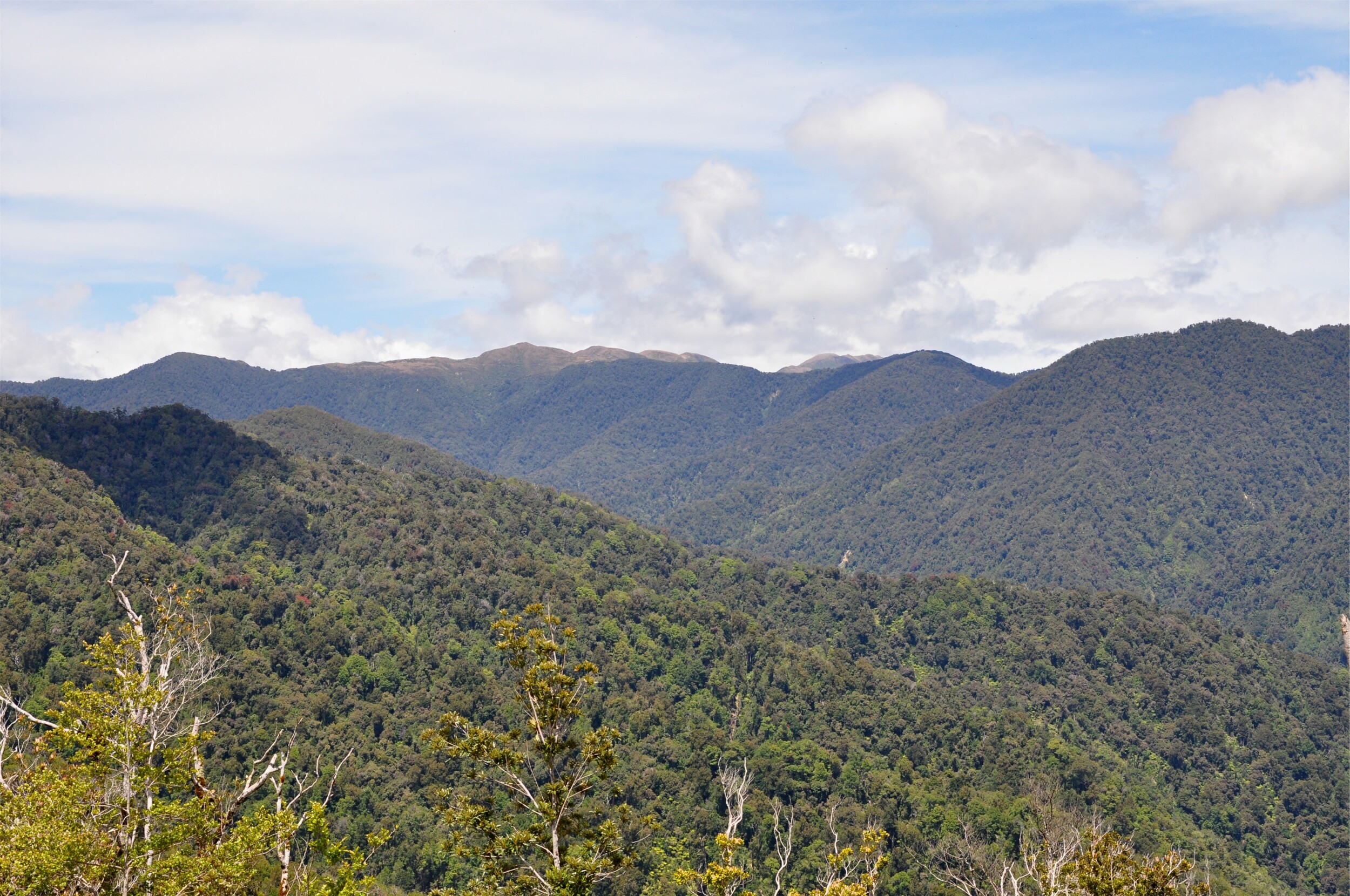
The track around the head of the Pike River Valley followed the edge of the escarpment…..at times quite closely! Having clear skies and good views was a real treat, but it certainly made us aware of just how close we were to such a steep drop. I am not sure I would want to walk (or bike) this section on a windy day, although I imagine many people don’t even know how close they are to the edge as this section is often covered by low cloud.
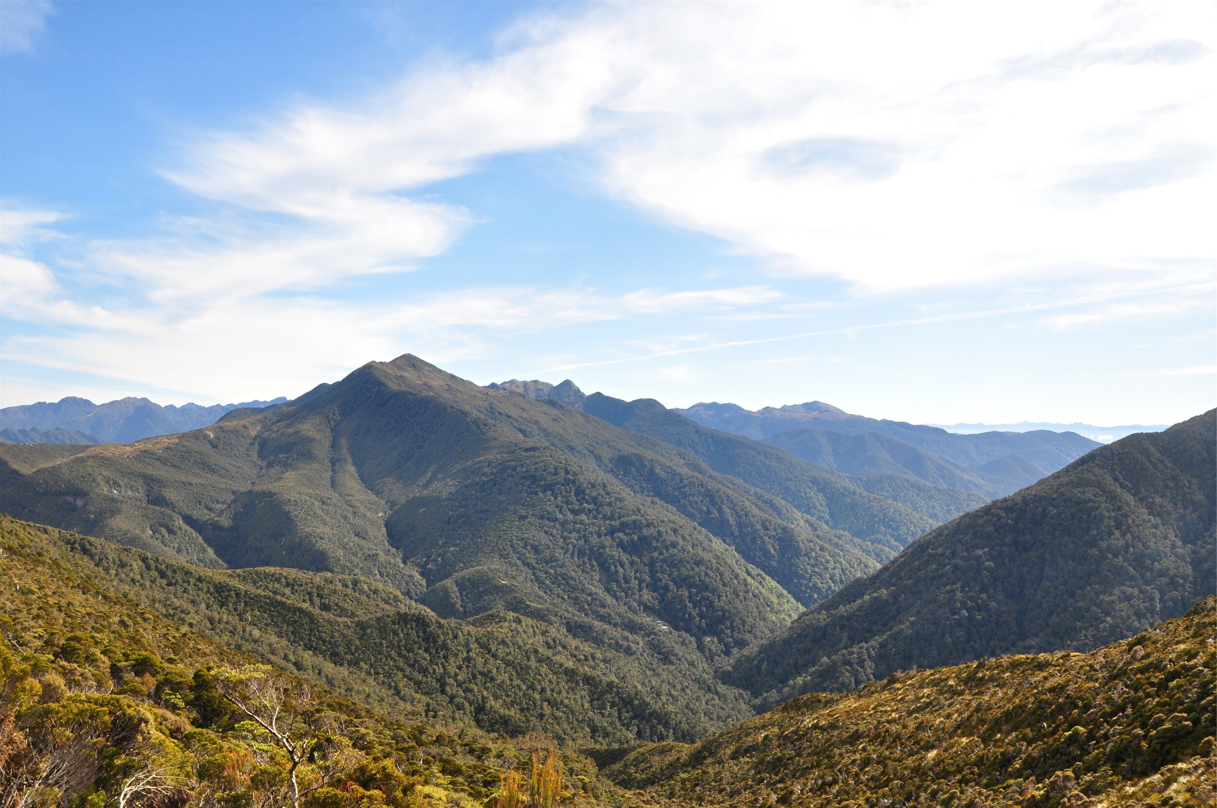
We descended quite steeply from the ridge, passing the site of the big slip that had closed the track just before we were meant to walk through here last year. With a bit of rock blasting, some metal poles and cables to keep things together the track was reopened and we were able to pass through without any problems, although we did encounter a fresh slip just a little further on which the Department of Conservation (DOC) hadn’t quite had a chance to fix yet. Luckily we just needed to scramble a short distance through the forest to get up and around the section of track that was blocked.
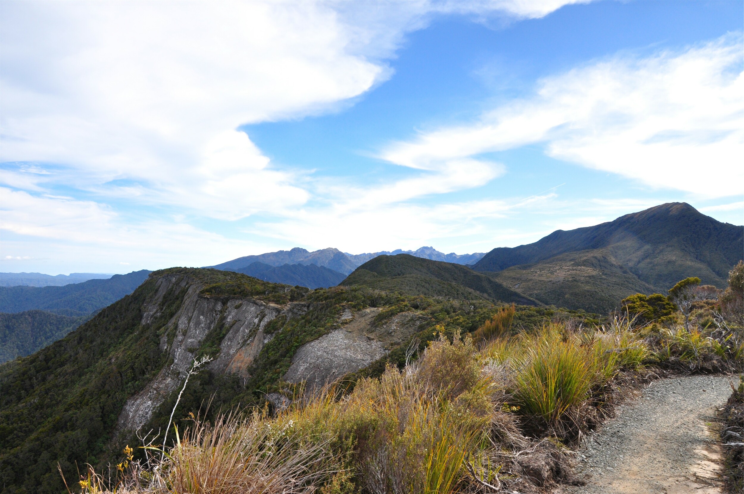
Before long we had arrived at the Pororari Hut, our scheduled stop for the night. From the deck of the hut we were able to look back across to the ridgeline and even pick out the distinctive outline of Moonlight Tops Hut (just above the bush line in the centre of the picture above).
It wasn’t even lunchtime and our legs were feeling pretty good after a couple of pretty easy days walking. We sat and enjoyed our lunch in the sunshine and debated whether to hang out for the afternoon or push on and try and finish the track early. We knew that the trail descended the Pororari River Valley quite gently and that being the height of summer we had plenty of daylight, it was mostly just a case of whether we wanted to walk another sixteen kilometers.

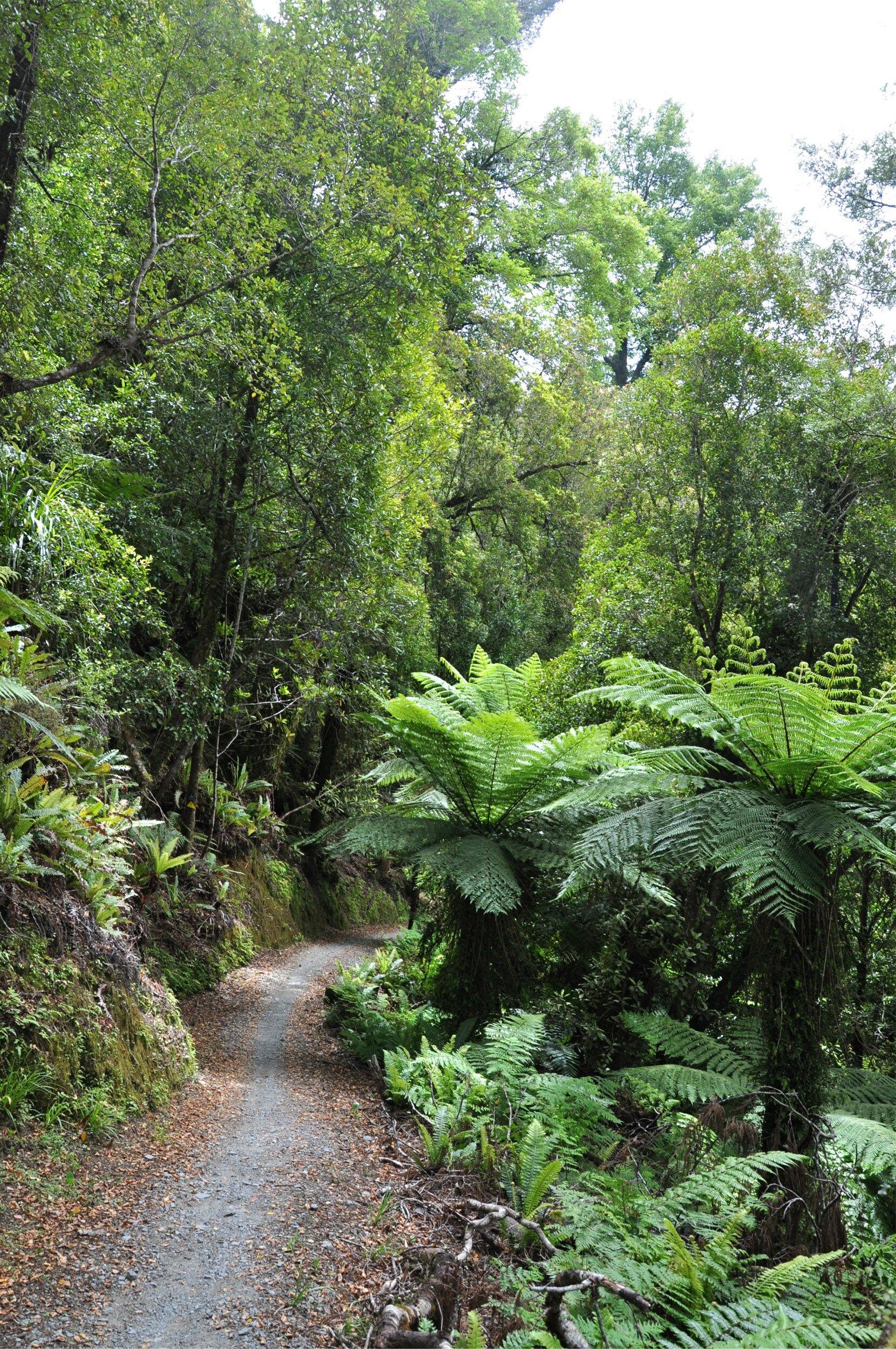
Eventually the lure of real food and the possibility of spending the night in our own bed won out and we shouldered our packs again and headed back out to the track. Almost immediately after leaving the hut, we found ourselves leaving the podocarp forest and entering a more tropical feeling valley.
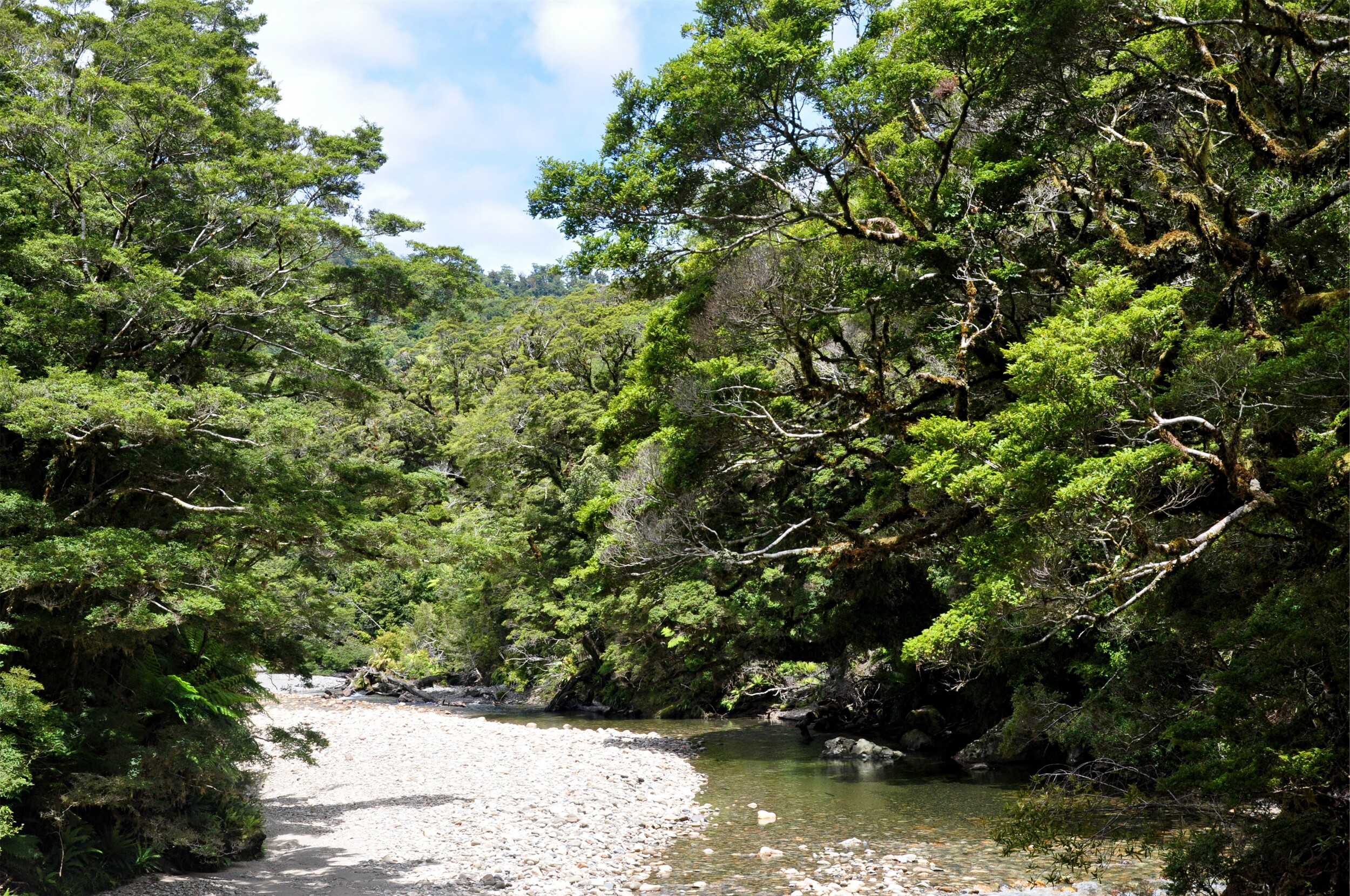
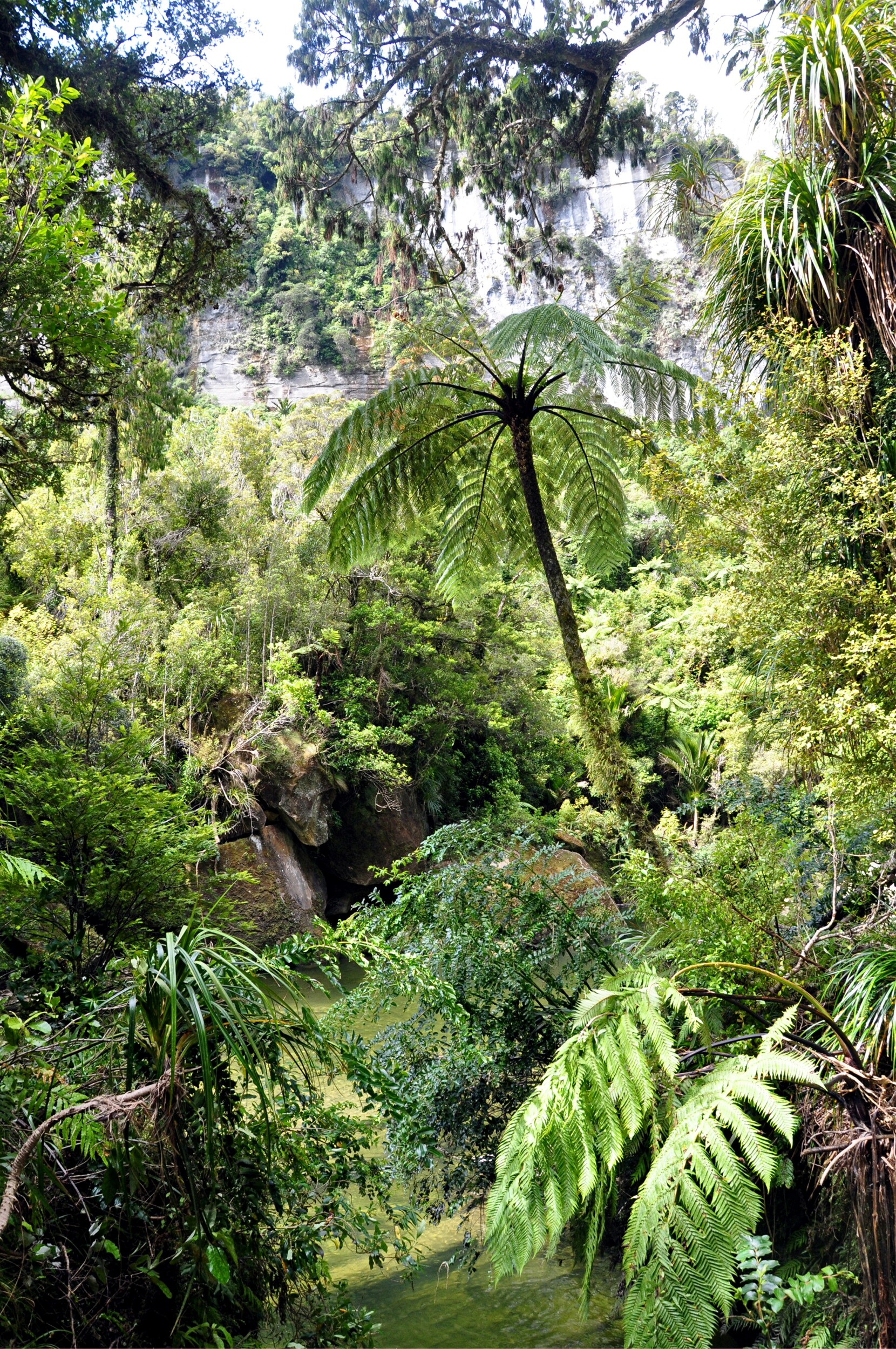
We continued to follow the river and in a break in the trees were able to make out the steep-sided gorge that formed the mouth of the Pororari river. Looking out into the distance, it felt like we still had quite a significant amount of ground to cover. Luckily the track was easy to follow and very well graded as it had joined part of a historic route through the valley that was built to establish settlements in the upper valley some time ago.

After passing through several areas of forest that had been significantly damaged in a series of cyclones that hit the coast in 2014 and 2018, the valley started to close in and steep rock walls appeared on either side of the track. We were surprised when the track actually started threading through some of the larger tunnels in the limestone just above the river, a bit of a tricky process to climb stairs and squeeze through narrow openings with tired legs and large packs.
The narrow section didn’t last long and soon the gorge started to open up again and as we rounded a corner we were able to get our first glimpse of the ocean not too far ahead of us.

We reached the car park and were pleased to see that yet again our car relocation had worked and the car with clean clothes as well as water and snacks was waiting for us. We happily loaded up our rucksacks and made a beeline for the Monteith’s brewery in Greymouth in the hopes of finding some tasty treats for dinner.