We couldn’t believe our luck, when on the second day of our hike on the Routeburn Track we woke to the most beautifully clear and sunny day. Our route for the day would take us up and over Harris Saddle, the highest point on the track at 1,255 metres (4,117 feet).
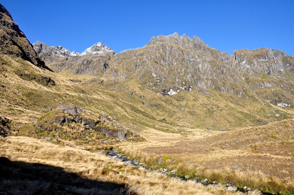
We left Routeburn Falls Hut and immediately started climbing up through the upper portion of the Route Burn valley. Although we had been toasty and warm in the hut the night before, we were surprised to see that there was still a little ice and frost this high in the valley.
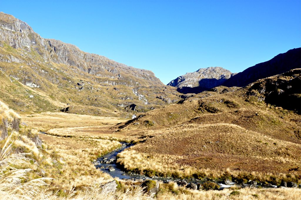
Although the track was climbing, the gradient wasn’t too bad and it was easy to see why the Māori and European settlers would use the Route Burn valley as an early route across the mountains.
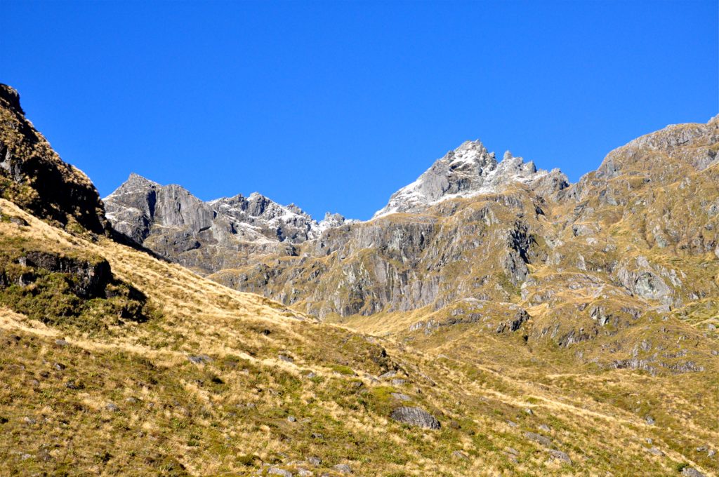
The Māori used the Route Burn valley to connect them with Martin’s Bay on the west coast via the neighbouring Hollyford Valley, when they were searching for pounamu (greenstone – a type of Jade), which was highly valued for tools, weapons and ornaments. Later the European settlers also came this way, although the failure of the European settlement of Jamestown near Martin’s Bay meant that the route had limited use. We actually passed by the site of Jamestown a couple of years ago when we were walking the Hollyford Track so it was nice to be able to piece together a little more of the history of this area.
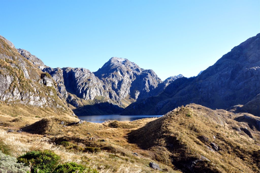
As we crested the final rise, we got our first glimpse of Lake Harris, the lake that we knew indicated that we were close to Harris Saddle. Both the lake and saddle were named by one of the early European explorers, Patrick Caples that came through the area in 1860 and created the first European sketch-map of the area. He named both the lake and saddle after the then superintendent of Otago, John Hyde Harris.
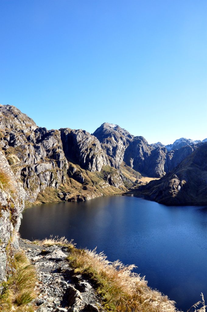
The track continued to climb and we found ourselves following a rather narrow, rocky ledge high above the lake. As we rounded the corner we had great views out towards the mysteriously named ‘Valley of the Trolls’ across the lake.
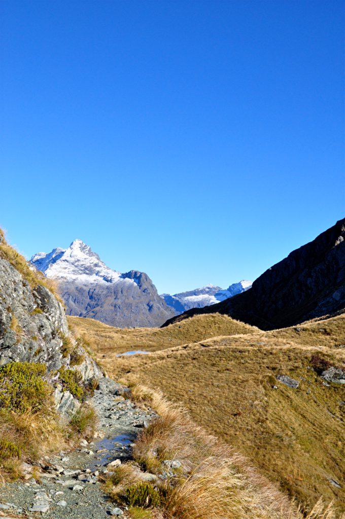
Just a little further along we reached Harris Saddle and as we rounded the corner in the track we got our first views of the snow capped peaks of the Darran Mountains on the far side of the Hollyford Valley.
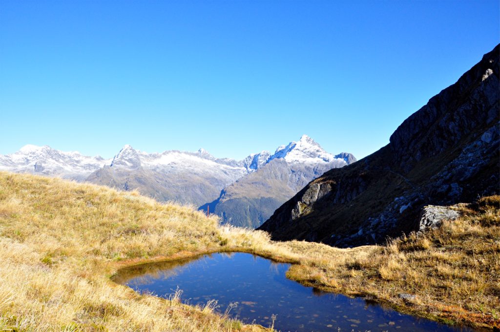
We continued along to the emergency shelters that were nestled into the saddle and were reminded of how lucky we were to have such beautiful weather. Even on such a lovely day as we reached the saddle we could feel the wind picking up, although it was nowhere near the gales that are often experienced in this area.
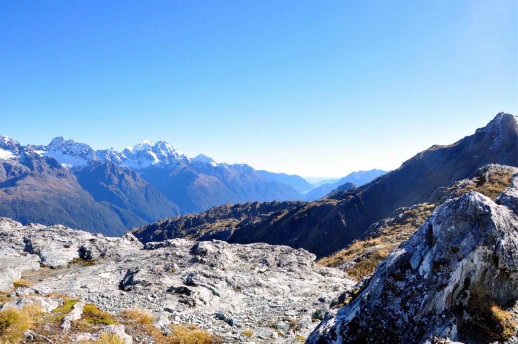
We left our packs at the shelter and made the short side trip up the nearby Conical Hill. At 1,515 metres (almost 5,000 feet) above sea level, the views from the peak are amazing. We could see all the way out along the Hollyford Valley, past Lake McKerrow to Martin’s Bay and the Tasman Sea beyond. We appreciated the view from our vantage point and enjoyed picking out landmarks from our earlier trip down the Hollyford Valley.
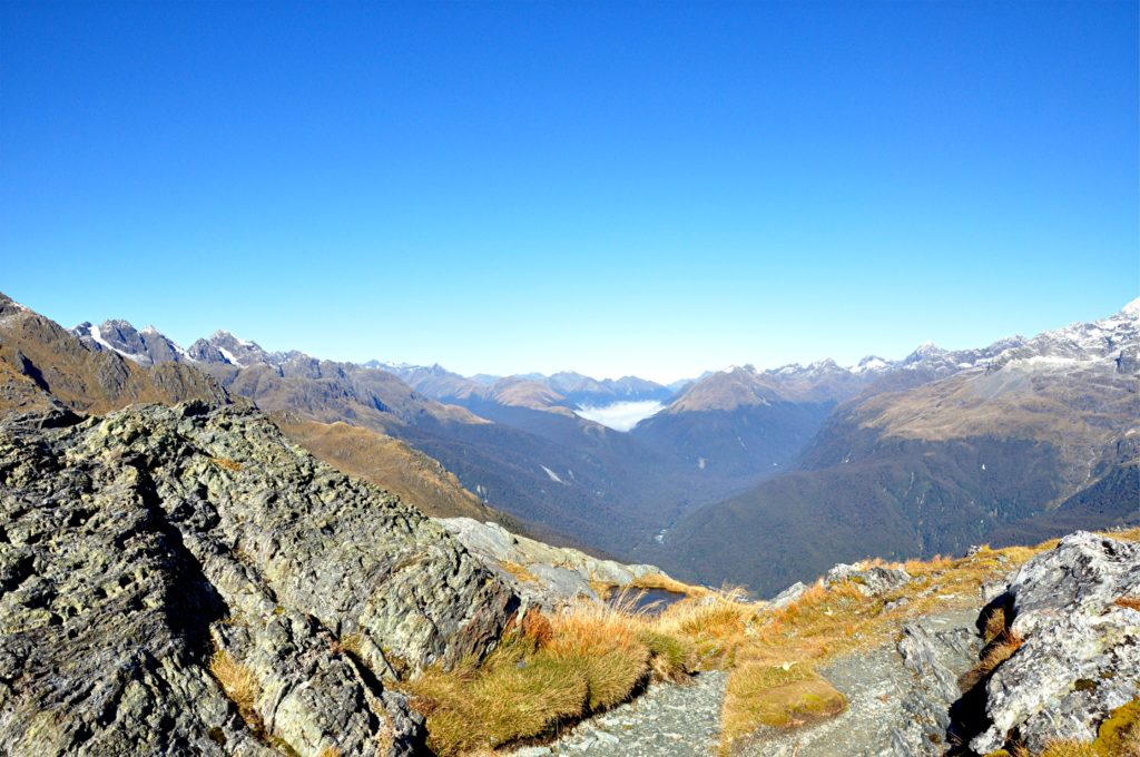
Looking up the Hollyford Valley we could pick out the track that we would be following towards Lake Mackenzie Hut, our destination for the night.
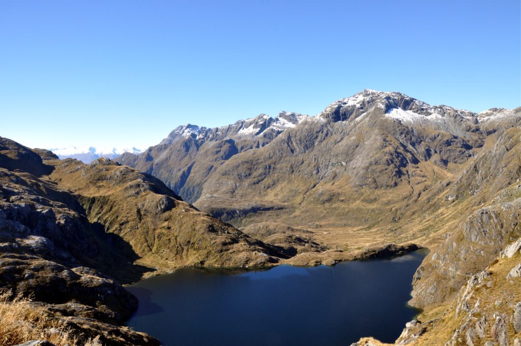
From our perch on the top of Conical Hill we were also able to look back towards Lake Harris and the Route Burn valley, picking out the track as it skirted the hillside high above the lake.
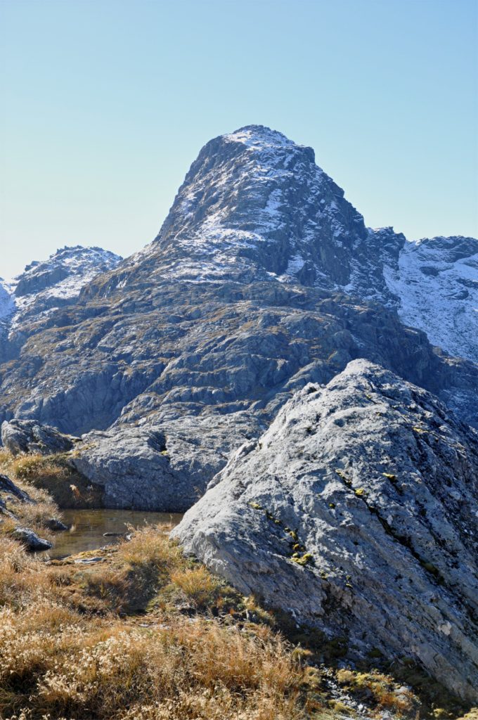
Eventually we scrambled back down the rather rough track from Conical Hill to the shelter on Harris Saddle where we had left our rucksacks. Once we had got our packs back on, we set out on the track along the Hollyford Valley face.
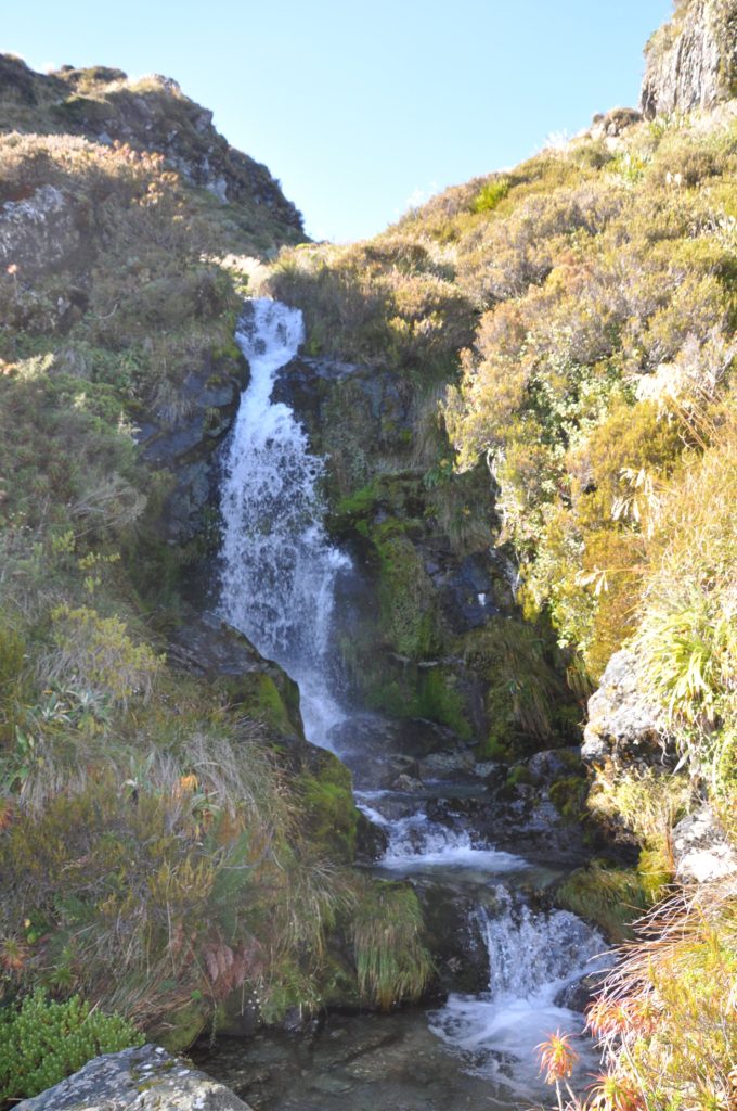
The track stays above the bush line for this entire section and provides great views. We crossed numerous crystal clear streams that were cascading down the upper slopes of Ocean Peak above us.
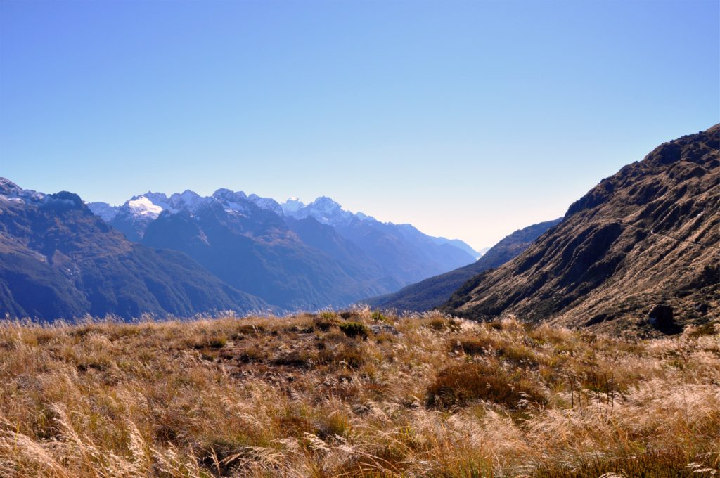
On our right, the Hollyford Valley stretched out below us and we could pick out places we had seen on our previous visit and the track we had followed down from the saddle.
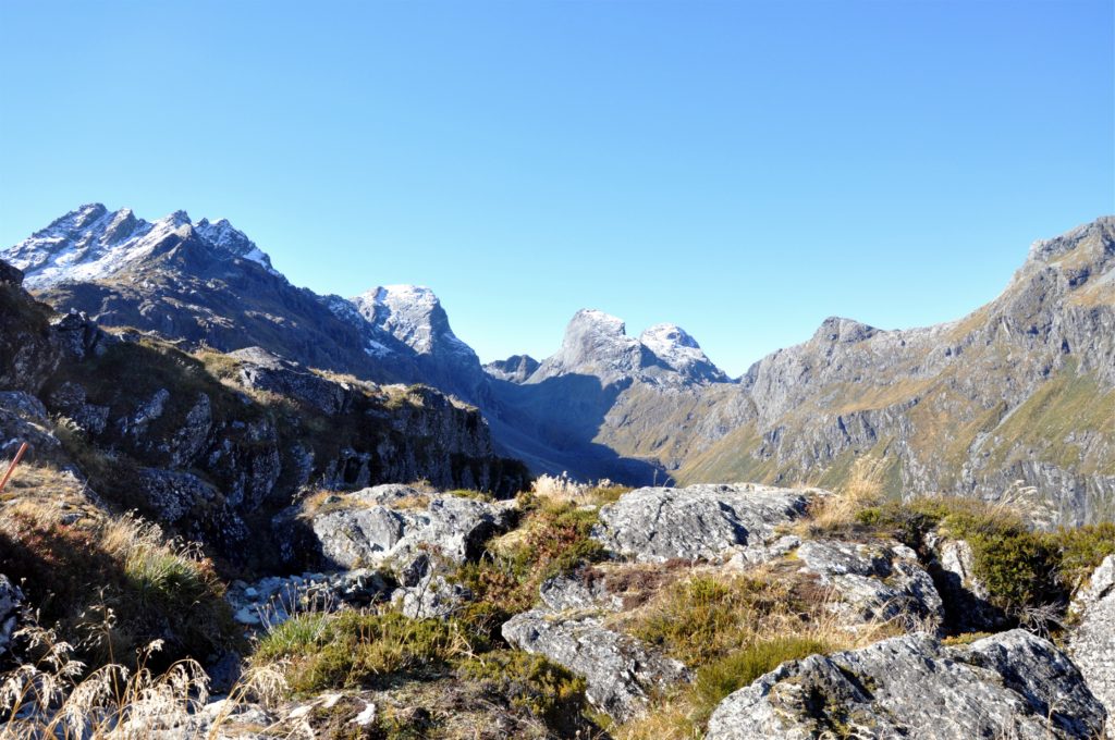
Eventually the track rounded a steep curve and we got our first glimpse of Emily Peak, the distinctively shaped mountain that towers above Lake Mackenzie. We picked our way carefully over this rocky section of track and just a short time later Lake Mackenzie Hut came into view far below us.
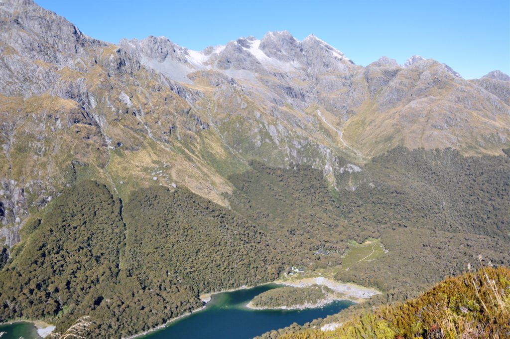
The next section of track descended quite rapidly into the bush towards the hut. Despite this being a ‘Great Walk’, we were actually quite surprise at how difficult this section of the trail was. The rocky terrain made it difficult to get into a stride on the steep decent to the lake.
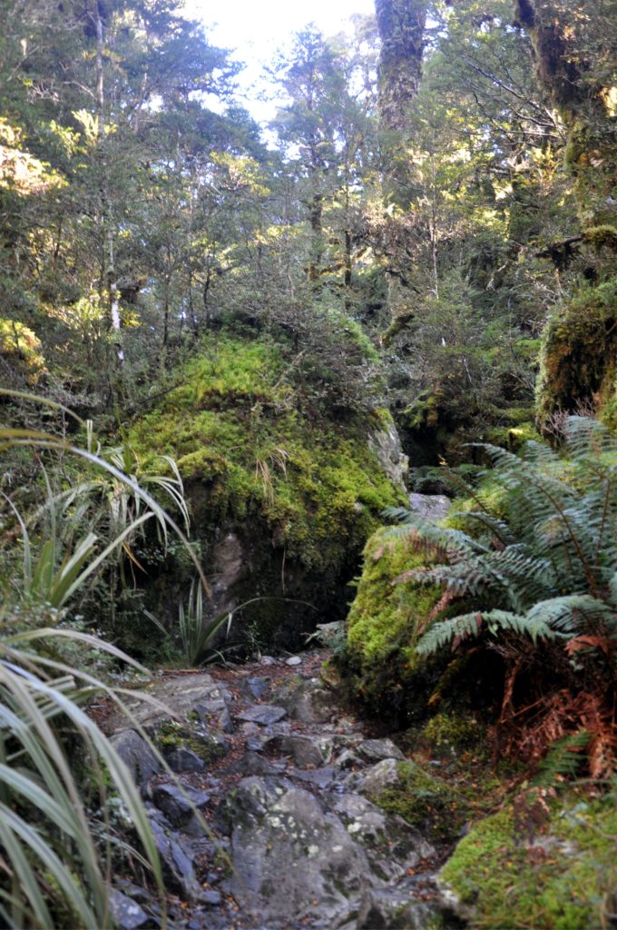
The advantage of having to pick our way over the rocks and around the moss covered boulders was that we had plenty of time to admire the lush forest, such a contrast to the high alpine vegetation we had been walking through for much of the day.
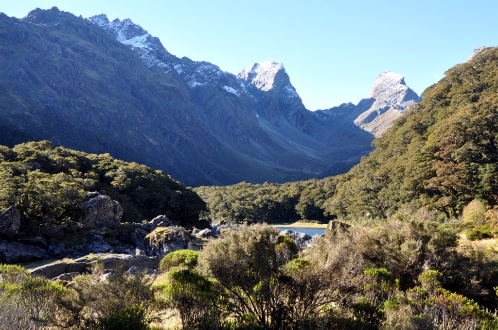
After a few steep zigzags down the mountainside, we found ourselves in the boulder field a the end of Lake Mackenzie. Rather unusually, Lake Mackenzie does not have river or stream that forms an outlet, meaning we were able to easily walk around the entire end of the lake.
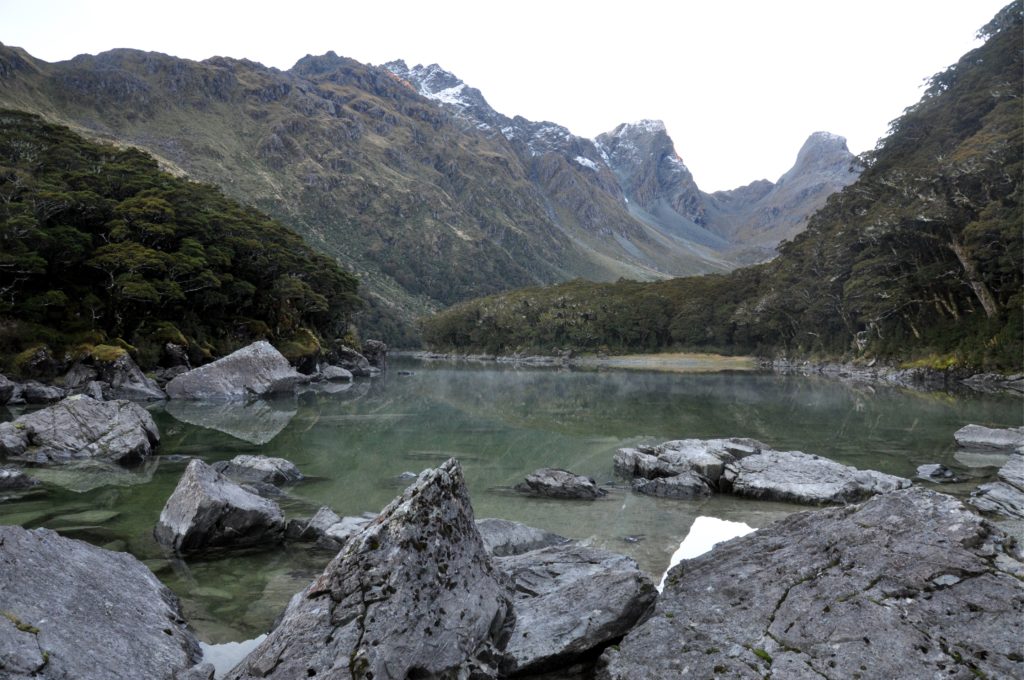
The hut was nestled into a corner of the lake and once we got settled for the night we made ourselves a cup of tea and headed down the short track to the rocks on the shore to enjoy a late afternoon snack and soak in the views.
