With some longer tramping trips planned for the Christmas (summer) holiday, we decided to dust off our tramping boots and head out to the mountains for a long weekend. The original plan was a short overnight backpacking trip to see how my ankle was doing post-surgery and a couple of days of easier day walks. We learnt that Icebreaker was going to be filming at our first choice of hut, and although we could have stayed there, we decided that we would save it for another day.
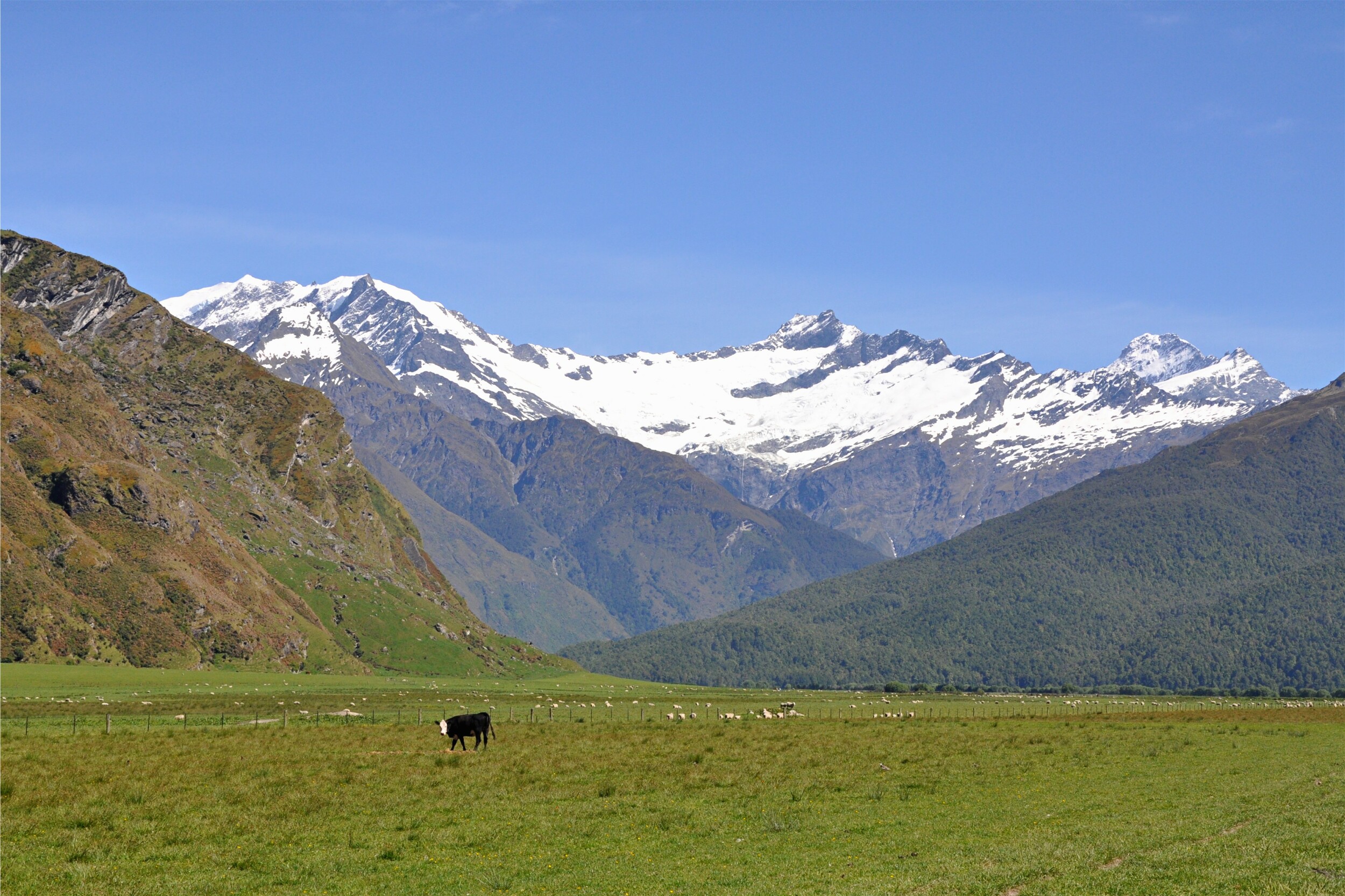
It was an easy decision to go with our back-up plan and head into the West Matukituki Valley in Mount Aspiring National Park instead. This valley just west of Wanaka is one of my favourites that we have visited in New Zealand. After a tasty breakfast in Wanaka it wasn’t long before we were passing through the farms that line the lower part of the valley on the way to the Raspberry Creek trailhead.

The fords along the dirt road to the trailhead were lower than I expected given the spring runoff so we were easily able to get to the car park and start hiking. After a short distance, we passed the Rob Roy Valley and had great views of the glacier in the early morning light.
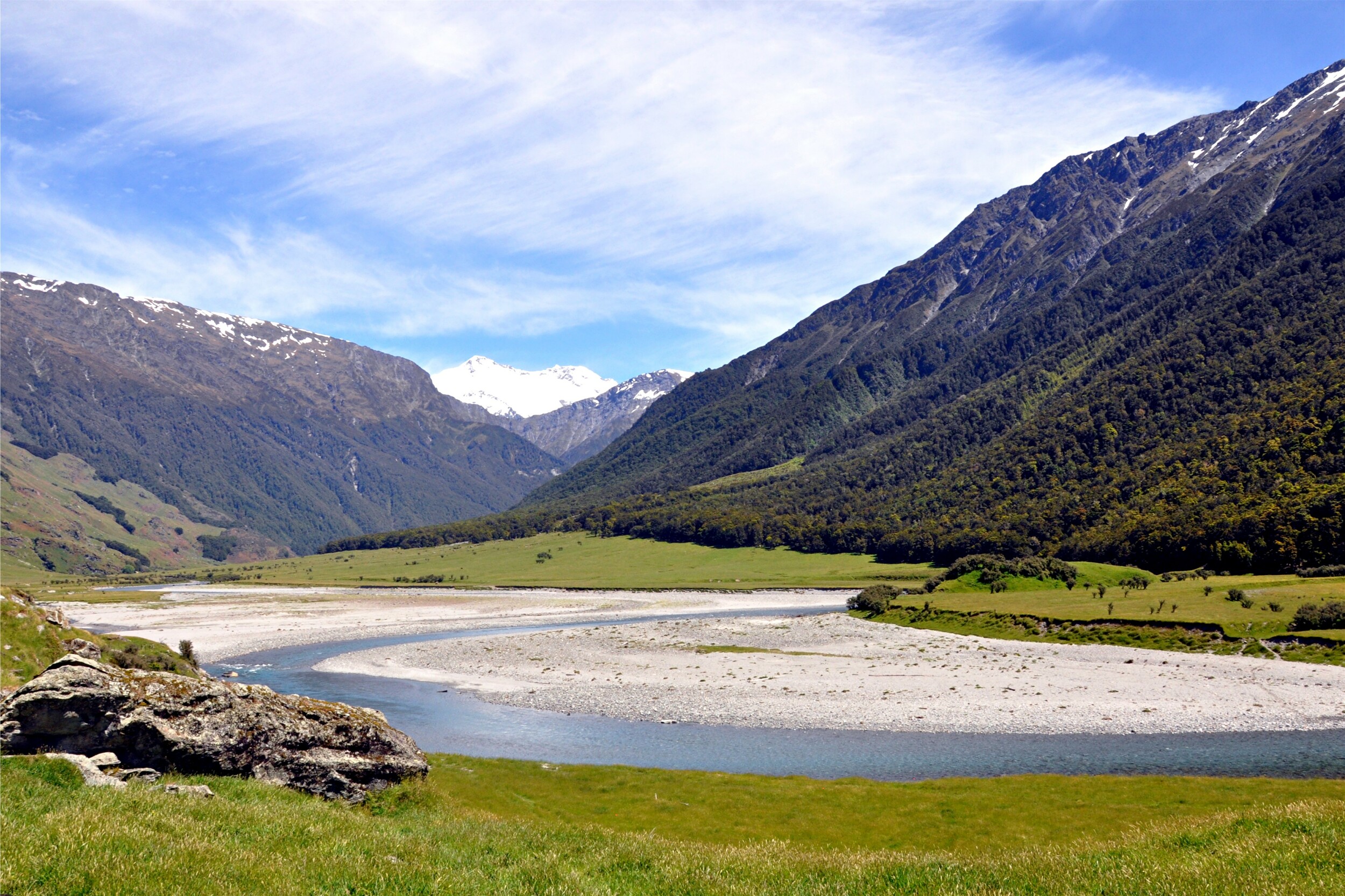
The first section of the hike follows a farm track along the West Branch of the Matukituki River. The easy walking allows for plenty of time to enjoy the beautiful scenery.

As we made our way further up the valley, we able to pick out the dramatic Heads Leap cliff face that we had walked to when we climbed Cascade Saddle a few years ago. We stopped at Aspiring Hut where we stayed on our previous visit here, for a quick snack and to fill up our water bottles before continuing up the valley.
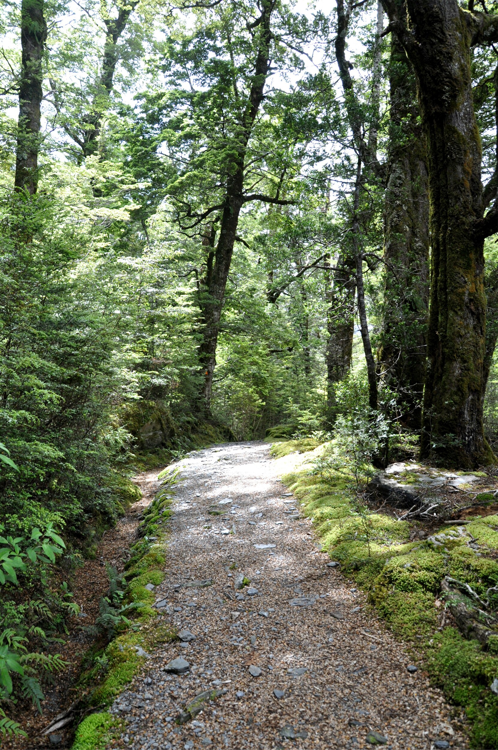
Immediately after leaving the hut, the track started climbing away from the river. Passing through the beech forest that is common in this part of the South Island, the shade was a welcome break from the sun lower in the valley.
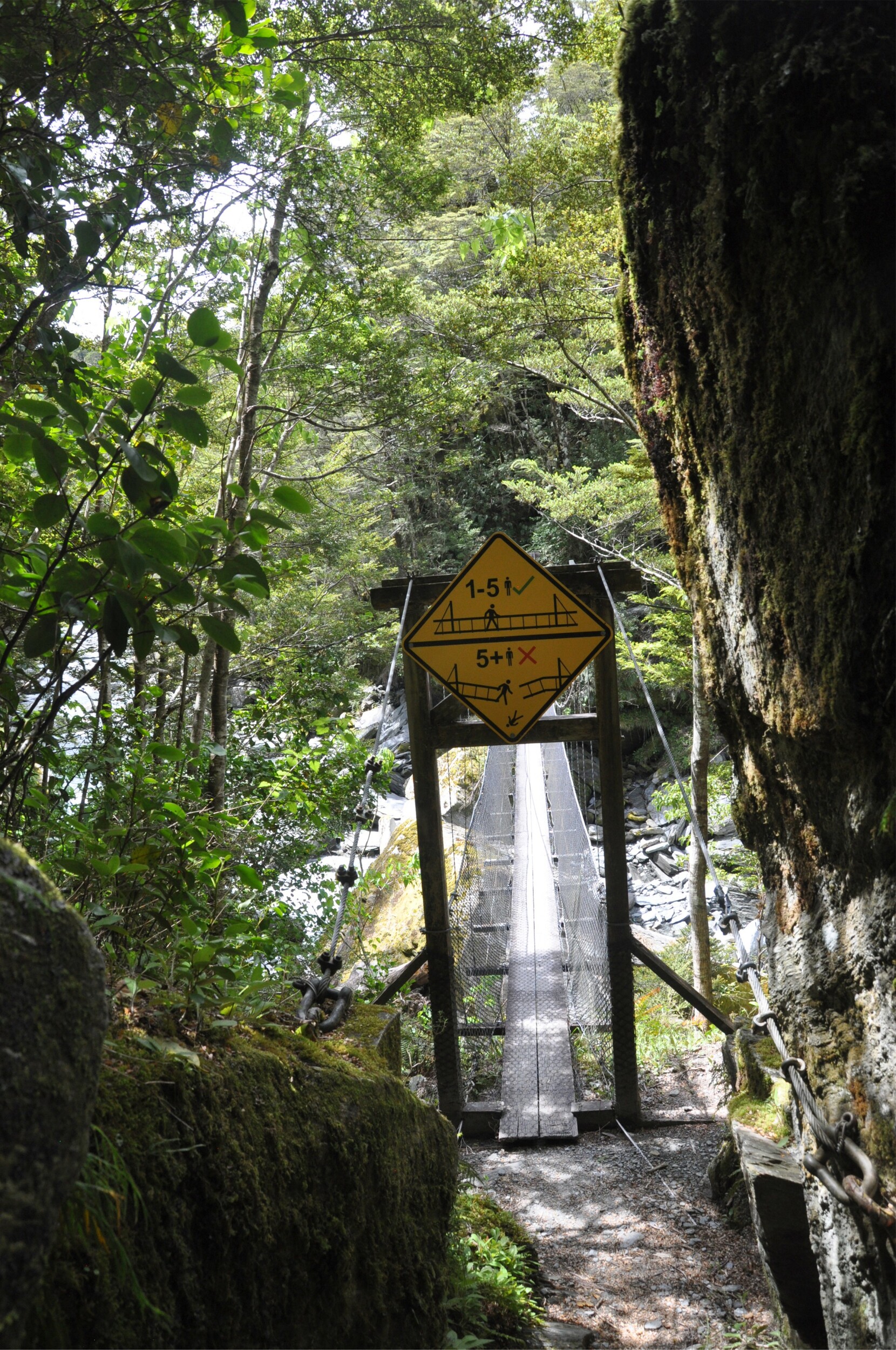
Passing through a narrow opening between some rocks, we came across a swing bridge. Although they have now become a familiar sight on our walks here, we were surprised by the updated warning sign that provided quite a clear picture of what might happen if you overload the bridge!
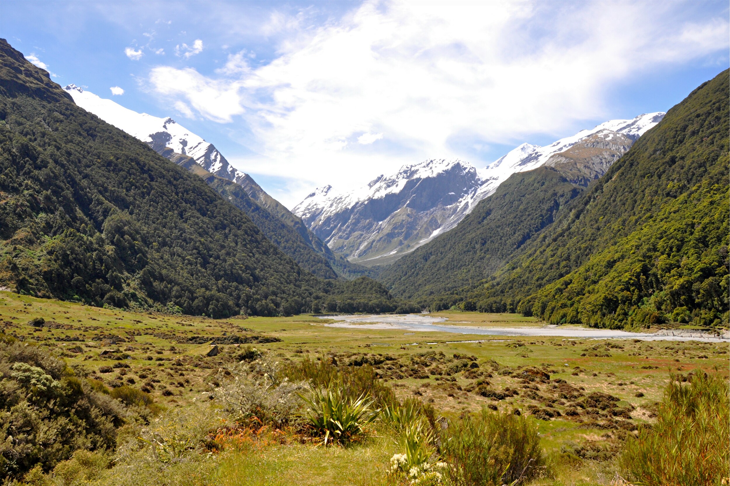
The forest began to thin as we reached Pearl Flat the final section of track in the valley before we started our climb to the hut. As we took in the view, little did we know that we could actually see much of the track from this vantage point. French Ridge, the feature after which the hut we were heading to is named, is the grass-covered finger on the right.
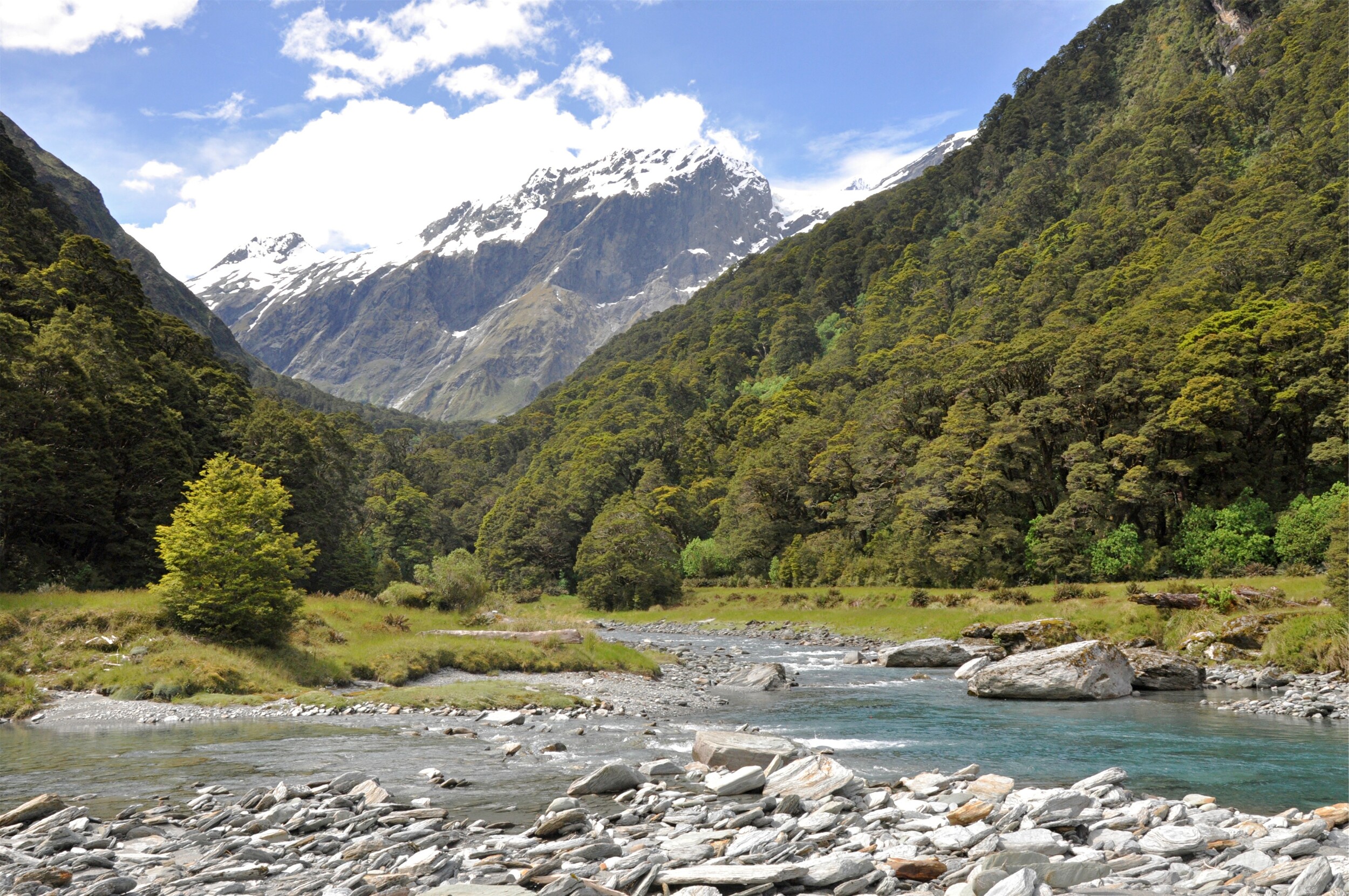
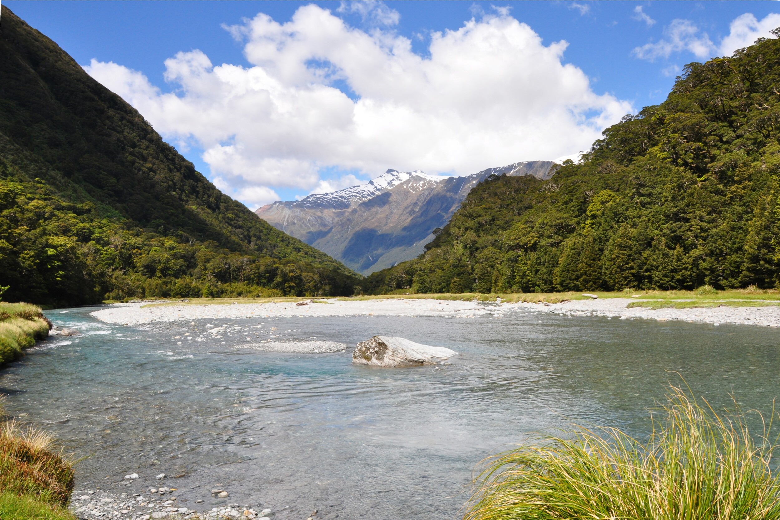
Towards the head of the valley we had to make a decision whether to walk a couple of kilometers further up the valley to a bridge or cross the river. With the crystal clear water moving pretty slowly we felt comfortable wading through the chilly water. With our feet feeling refreshed by the ice cold dip, we started the climb up to French Ridge Hut.
We don’t have any pictures of the next section of the track, the climb up to bush line was quite an experience. The almost one-thousand metre (3,280 feet) climb is completed in about two kilometers. What serves as a track is in fact an almost vertical climb up roots and rocks, and required us to use our hands to haul ourselves and our packs up. In places, where bare rocks had been exposed, helpfully tied ropes allowed us to pull ourselves and our packs up in a strange form of reverse abseiling.
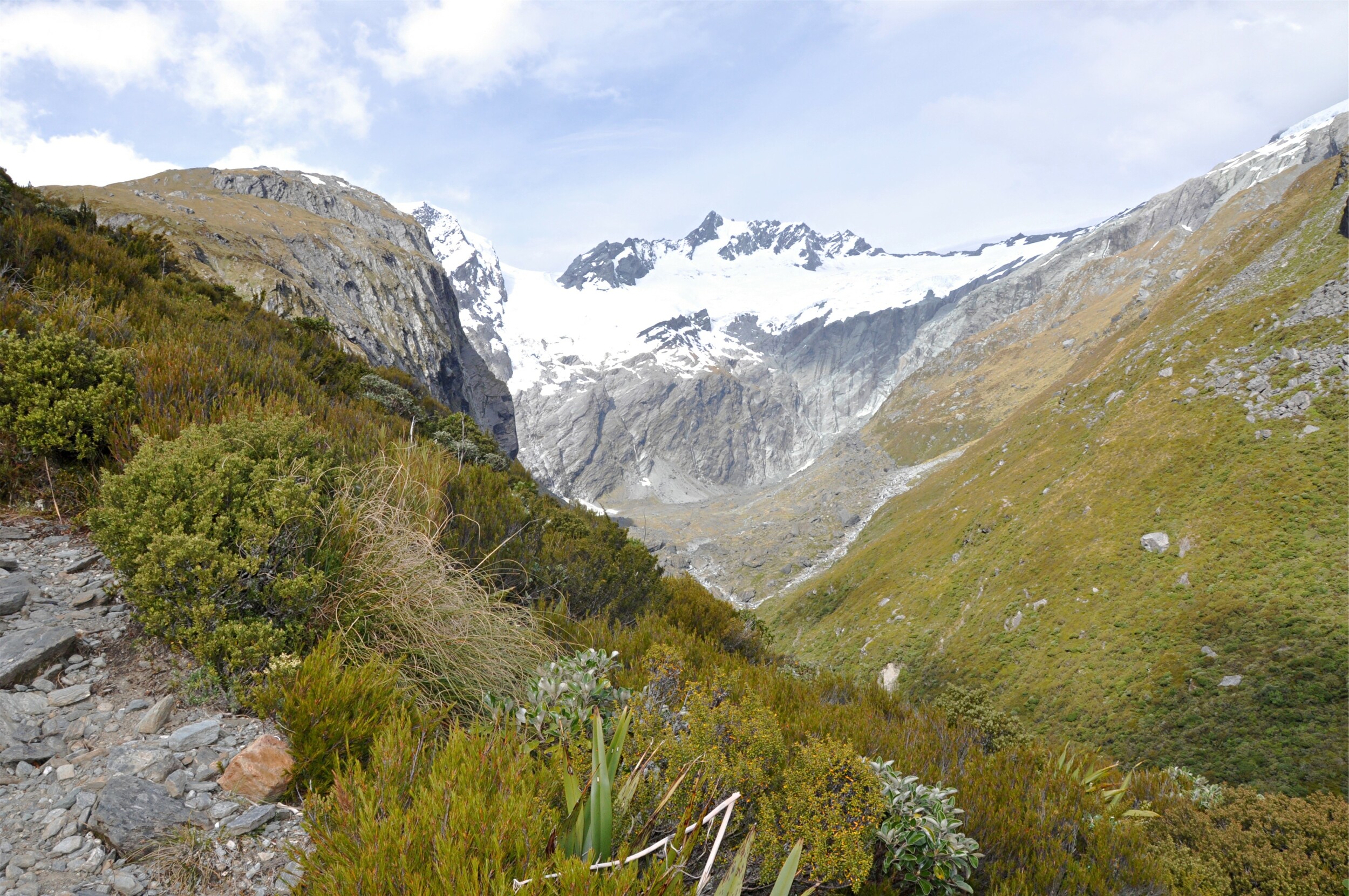
Eventually we made it to bush line where the track started to flatten out, or at least get to a gradient where we no longer needed to use our arms to pull ourselves up the slope! Our efforts were rewarded with beautiful views up the neighbouring valley, which didn’t seem to match it’s name of Gloomy Gorge.
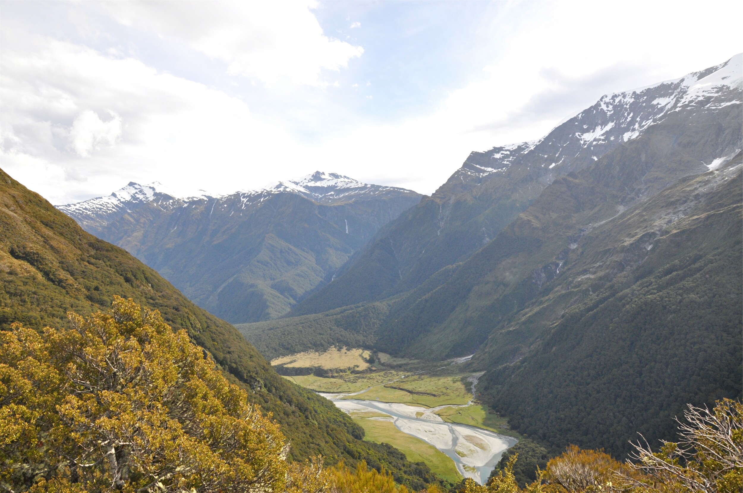
Continuing up French Ridge we climbed higher and higher above the Matukituki Valley. After following the ridgeline for a while we reached French Ridge Hut, perched high above the valley. We got settled in to the hut and had some dinner, then once our legs were feeling a little more rested, we went out to explore the area and take in the views of the hut and surrounding area, including what has to be one of the most scenic toilets in New Zealand.


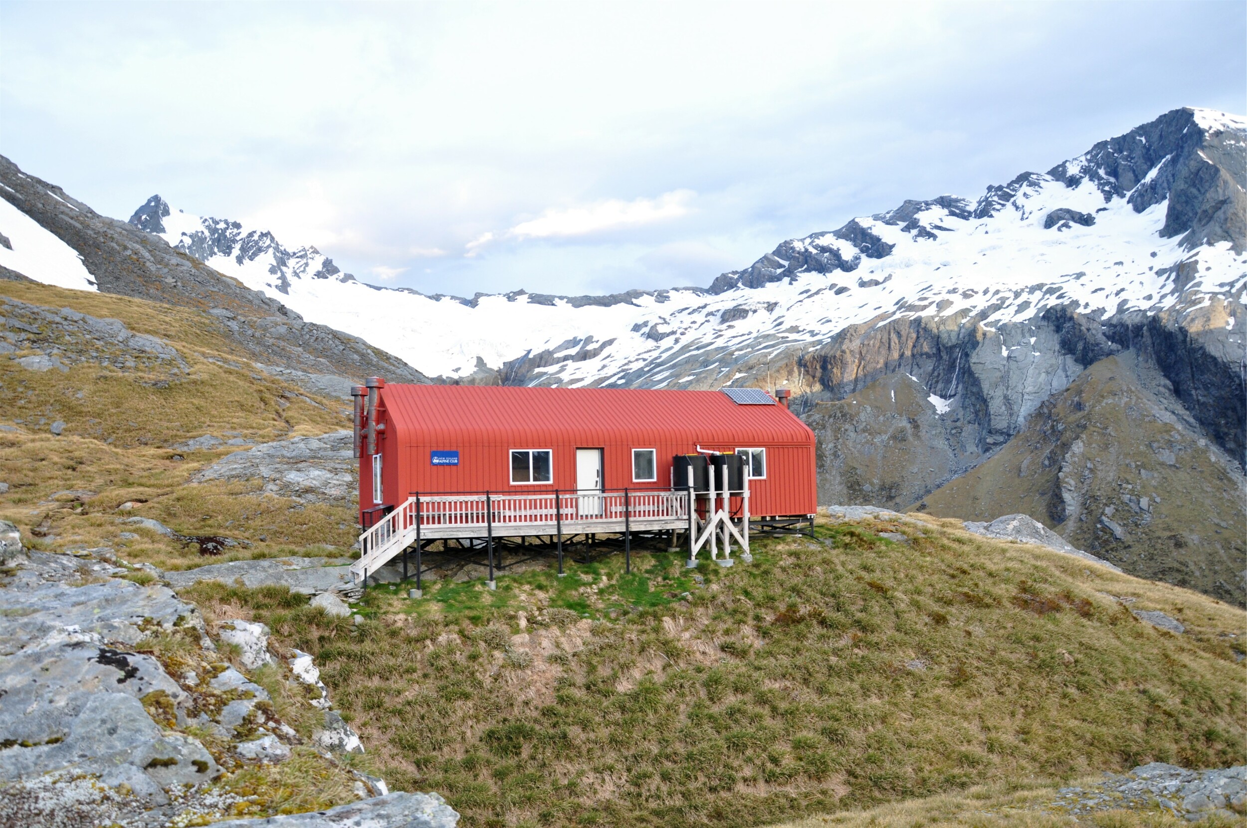

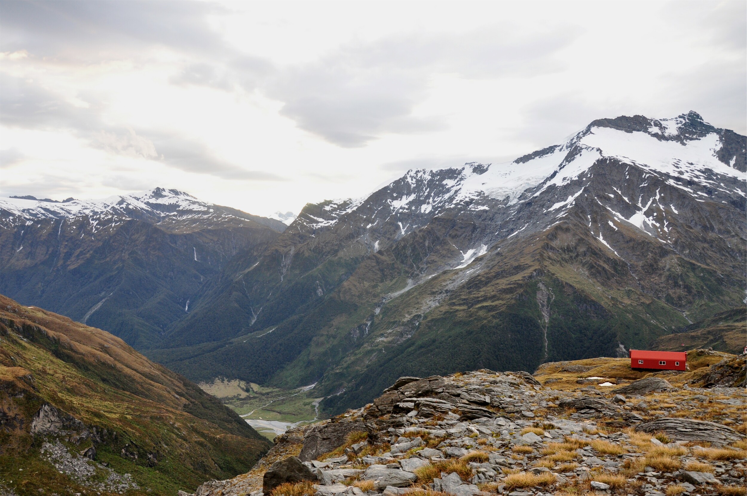
After a stormy night that rattled the hut on it’s precarious perch, the next morning the weather front had more or less passed through and we were treated to a beautifully crisp spring day. The views of the surrounding mountains from the deck of the hut were a great way to start the day. Despite the sunshine, it was with a little trepidation that we left the hut, knowing that we somehow needed to make our way back down the steep track to the valley floor.

A few scattered showers from the weather front remained in the upper valleys and we descended French Ridge we watched a rainbow form in the valley below us. A perfect distraction from the steep track, we were pleased that the rain never really reached our ridge ensuring that the track remained dry enough and didn’t get slippery.
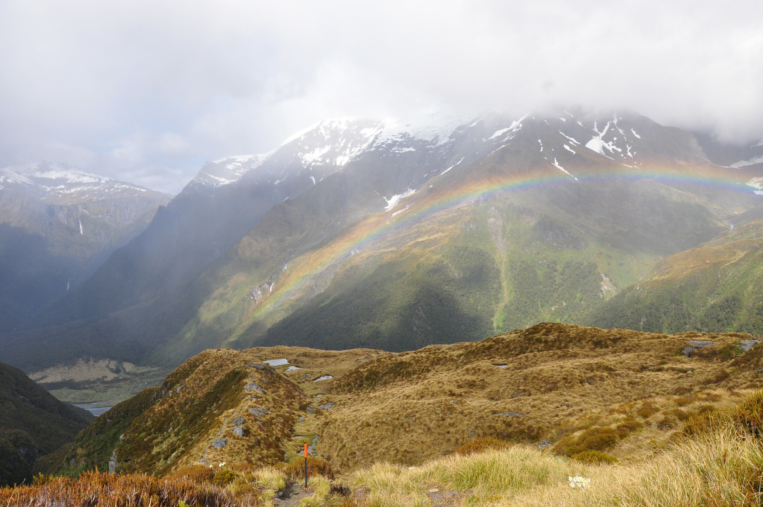

Before leaving the tussock-covered ridge we stopped to take in the views and ensure that our packs were secure ahead of the climb back down through the forest. To our surprise the route down didn’t feel as challenging, perhaps because we knew what to expect, or perhaps because we had gravity on our side. Then again, it could have been the promise of dinner and ice cream in Wanaka at the end of the hike!
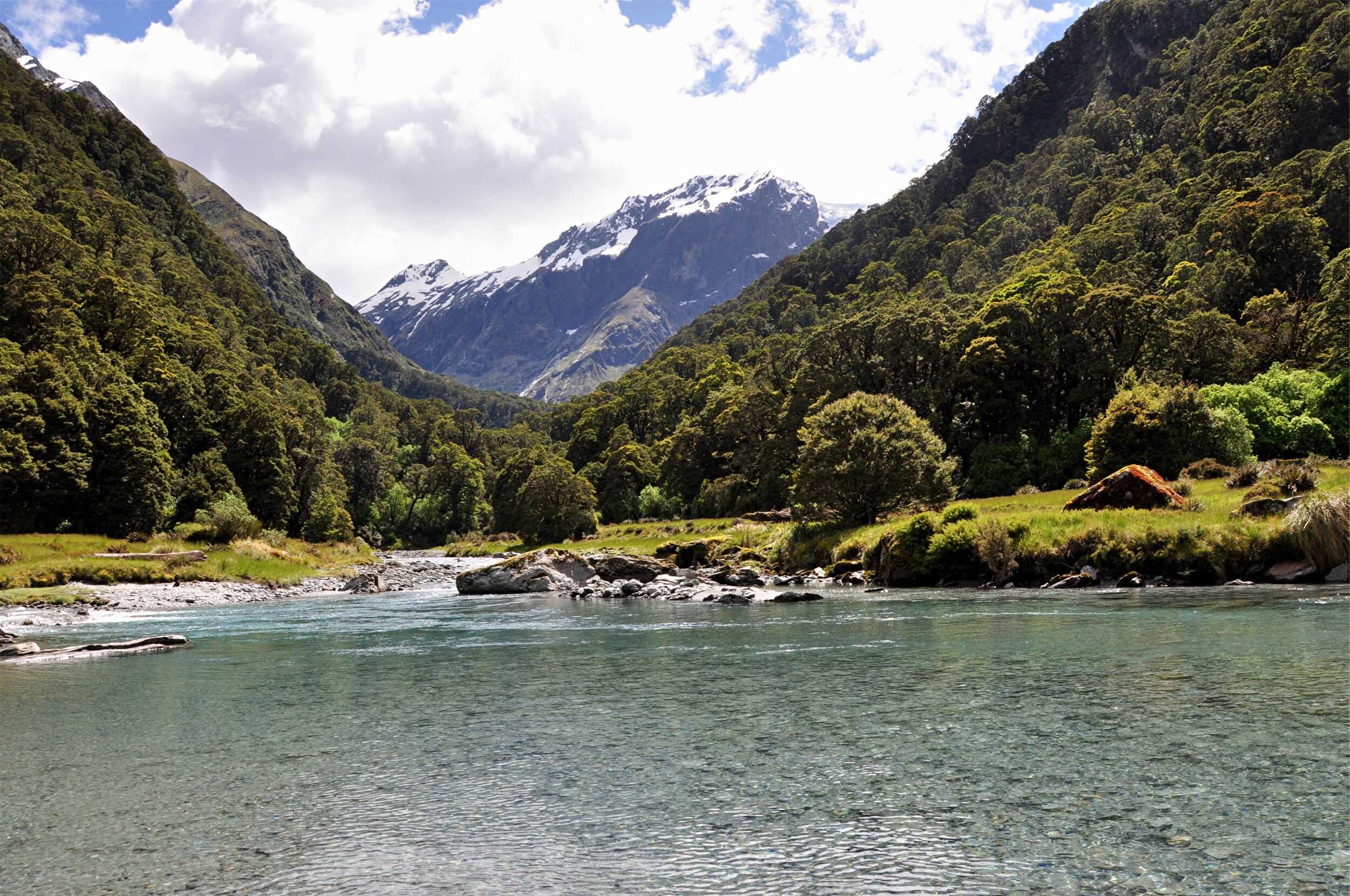
We made it back to the Matukituki River in good time and were pleased to see that the river levels were still low enough that we could easily wade across. The water hadn’t got any warmer overnight, but it certainly helped cool us down ahead of our walk out through the valley.
We retraced our steps back down the valley, enjoying the gentle grade beside the river. Our luck continued and as we stopped at Aspiring Hut for afternoon tea, a heavy squall passed through the valley. Gone as quickly as it arrived, the rain served to help keep the dust down on the final section of the track, and meant that we were able to hike out without breaking out our rain jackets.
