With autumn fast approaching and an excess of Annual Leave that I needed to take off of work, I decided to take advantage of one of the campervan deals currently on offer. I had a vague plan to try and complete a loop around the lower part of the South Island, mixing in some hiking and sight-seeing whilst trying to take advantage of the late summer sunshine.
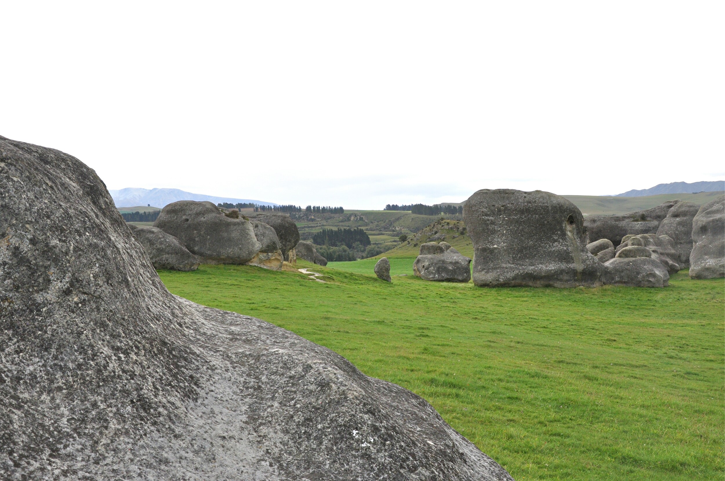
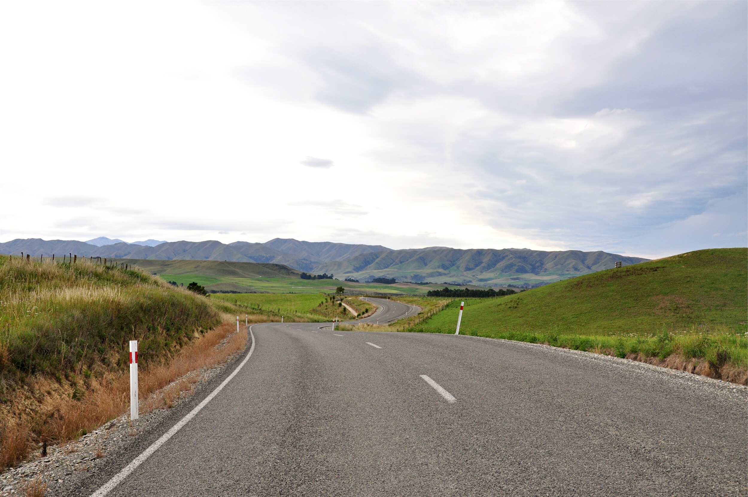
We often leave Christchurch after work to start our adventures, and do much of the drive to the mountains in the dark. This time I was able to get an early morning start and break up the drive with a few stops along the way. Rather than taking our usual cross-country route, I went up the Waitaki Valley, south of Christchurch. My first stop was at Elephant Rocks, a field of giant limestone boulders that have been eroded over time. The area was used for filming the Chronicles of Narnia, and the neighbouring Anatini Valley was used as Aslan’s camp in The Lion, the Witch and the Wardrobe.
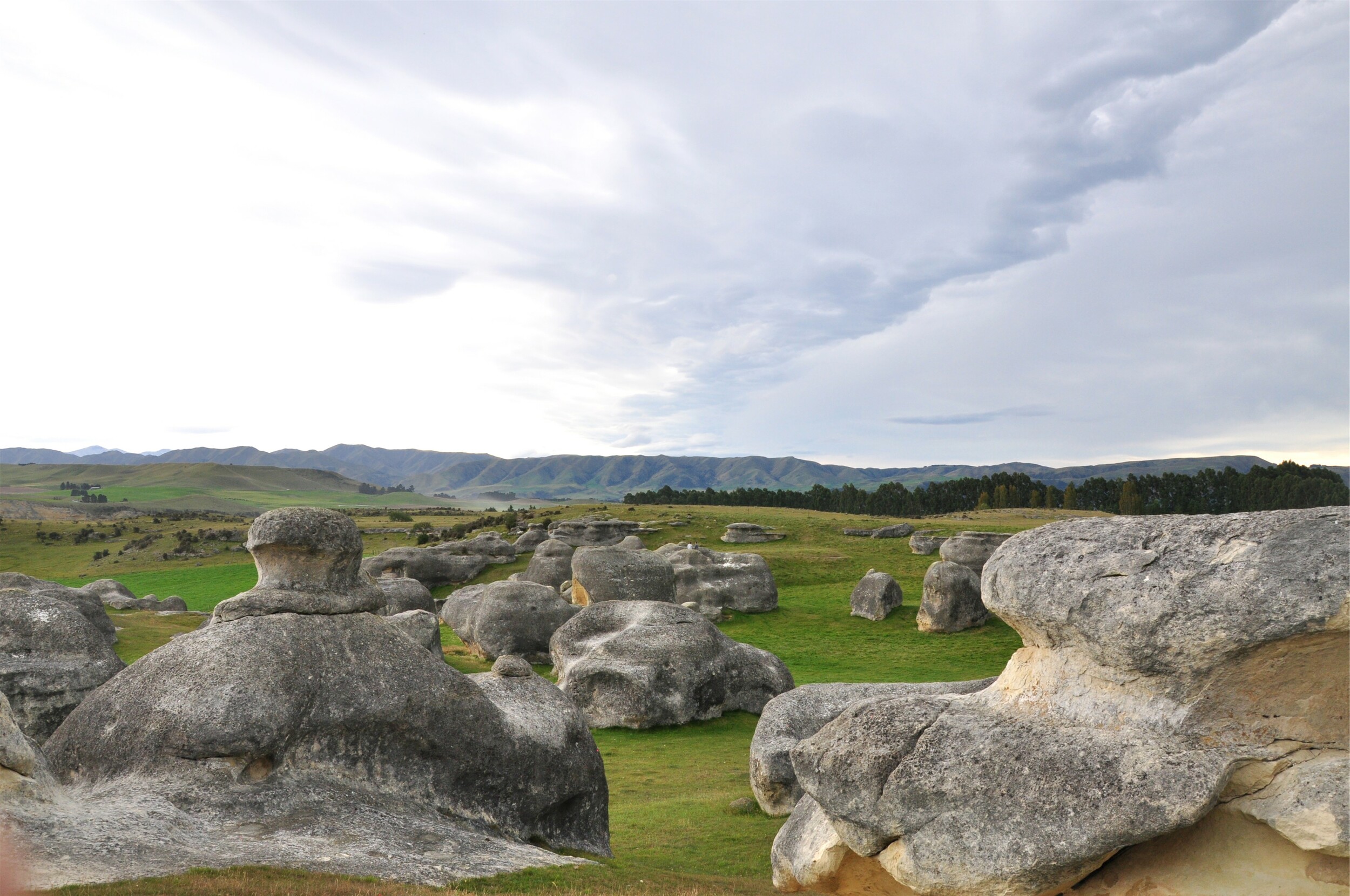
I walked over to Anatini Valley, not only to see more of the limestone boulders, but to also take a look at one of the fossils that had been found in the area. Sections from the fossilised remains of a baleen whale had been left in the limestone cliff; protected with just a simple cover it was interesting to see the sections of fossil imbedded in the rock.
Before leaving the limestone valley, I made a couple more stops at some Maori rock art. The Waitaki Valley lies within an ancient food gathering region and in several of the sandstone overhangs there were drawings from the iwi that would pass through the area.
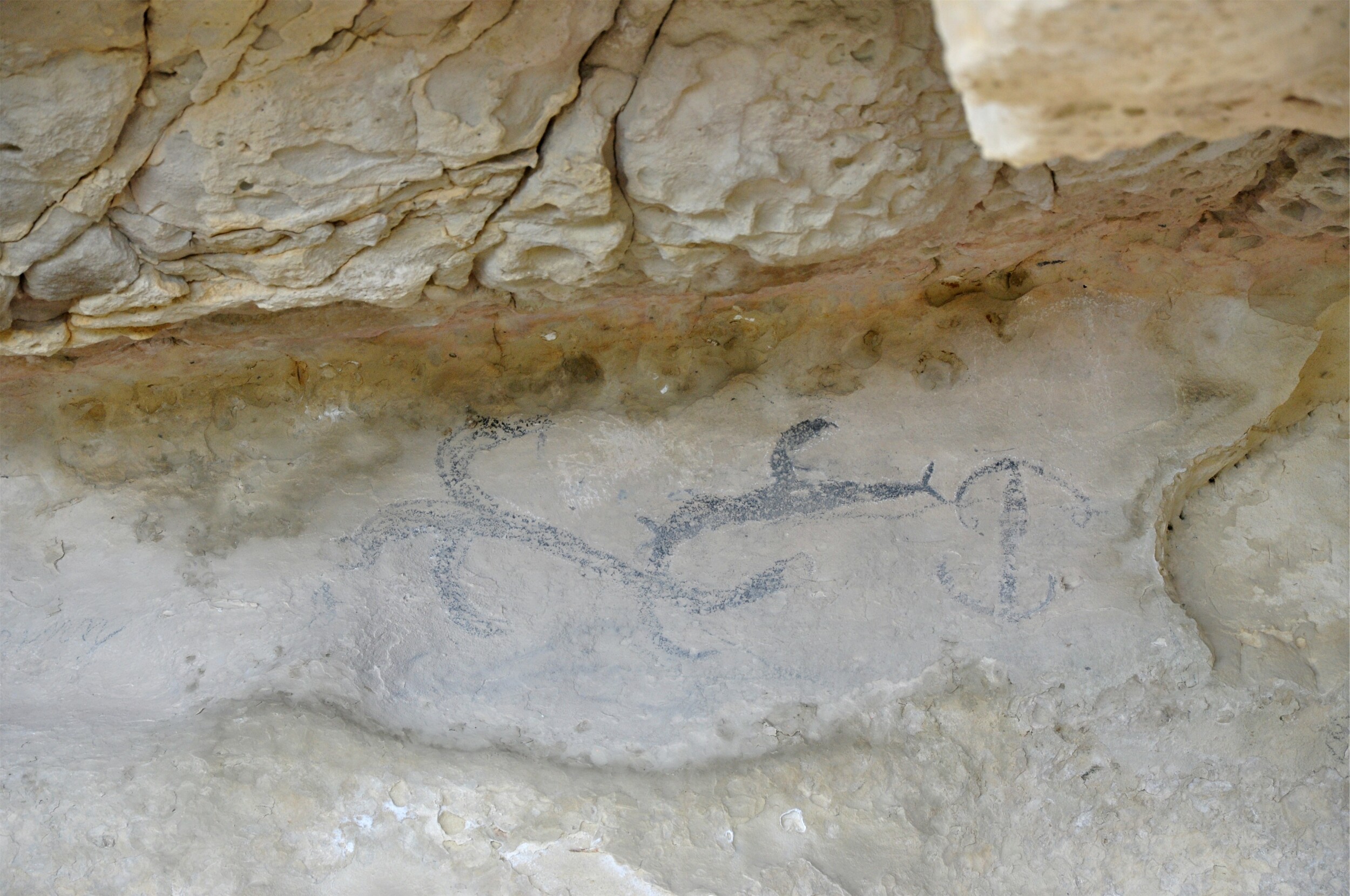
In some areas, the drawings also include images of European sailing ships making it easier to date some of the drawings to the nineteenth century. The drawings had been well preserved and it was fascinating to see the different styles and images that were portrayed at each of the different sites.
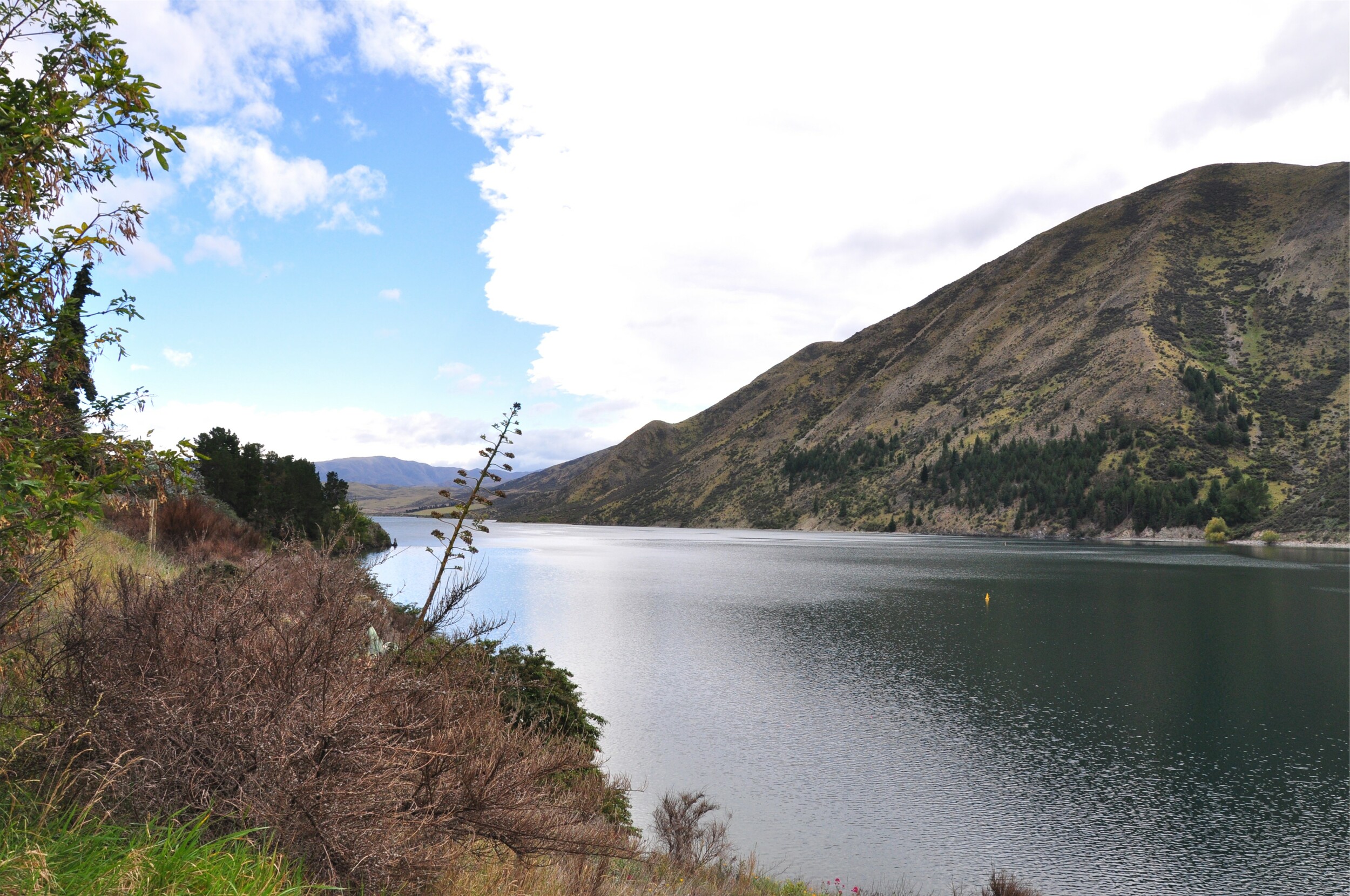
I continued up the Waitaki Valley past a string of lakes that form part of an extensive hyrdo-electric power generation network in the area. The first power station in the chain was built by hand in the 1930s as a ‘make work’ programme during the Depression. It started generating electricity in 1935 and now produces 105 megawatts of electricity, enough to power 51,000 average households a year.
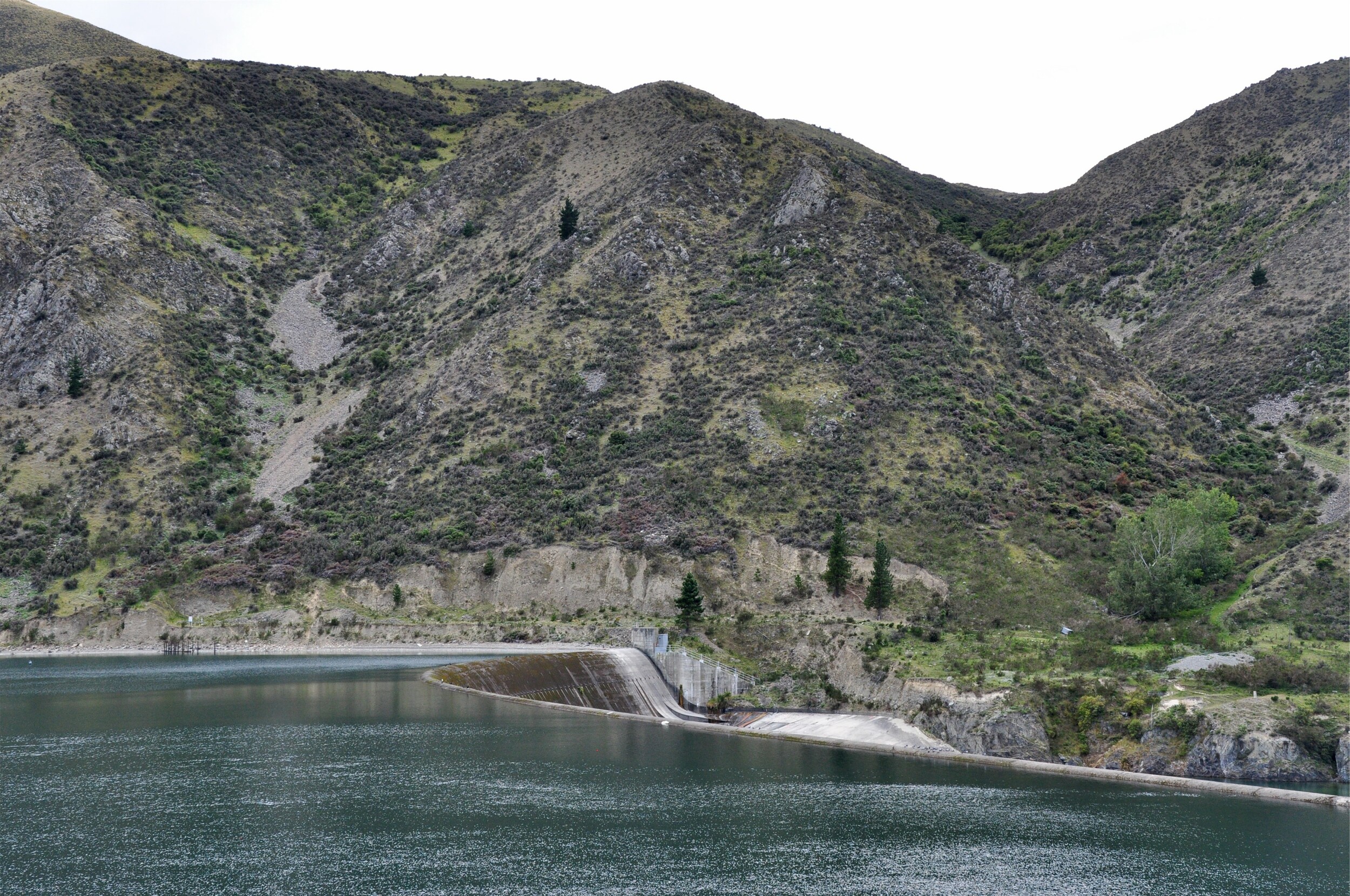
Continuing up the valley, the highway passes Lake Aviemore before reaching Lake Benmore, my next stop. The valley has strong links to the Scottish settlers, reflected in the names of the lakes and towns such as Duntroon.
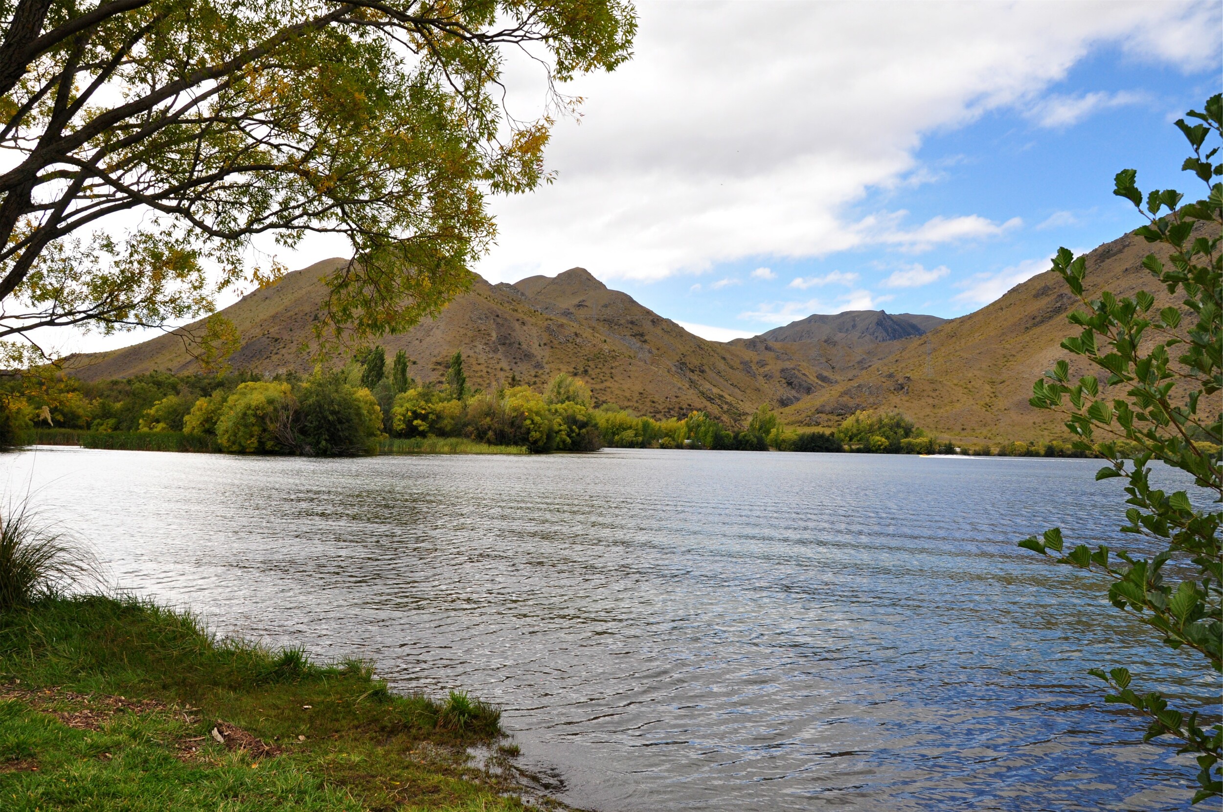
Arriving at the Benmore Power Station and dam I was surprised to be able to drive across the dam, a slightly nerve-wracking experience in my newly acquired campervan, especially given that they didn’t bother installing any kind of barrier between the road and the steep drop to the spillway.
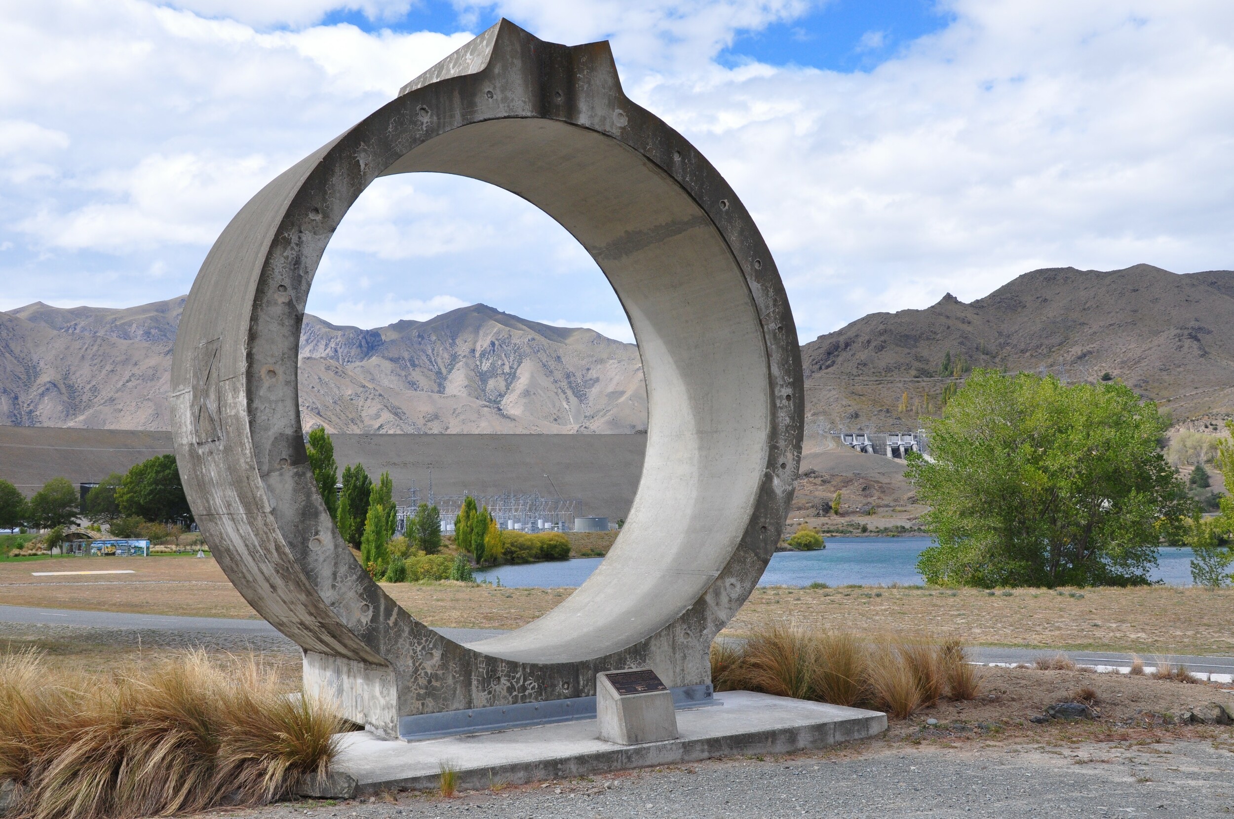
Parking close to the dam, I set out on a quick hike around a portion of the lake. The start of the track went through a recently logged area and after a bit of luck and some map reading, I was able to pick up the correct trail. Like many tracks here, it started climbing steeply and with most of the trees gone I had great views out across the lake and the Waitaki River.
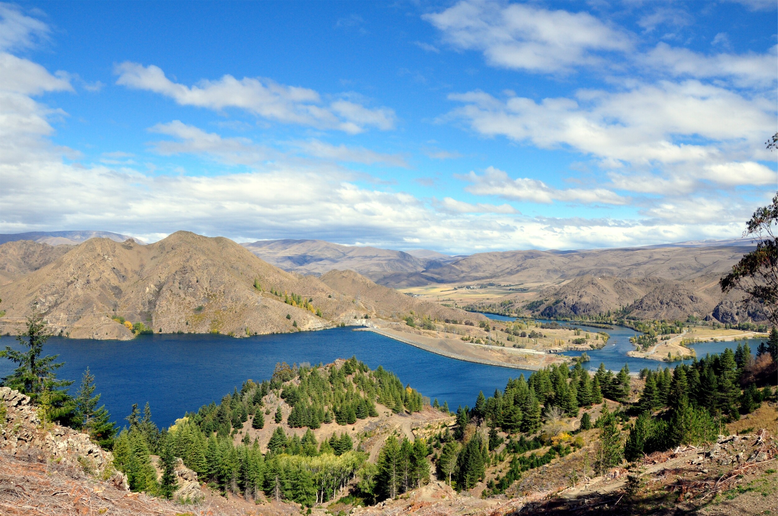
Lake Benmore is New Zealand’s largest artificial lake and the upper section splits into a series of arms. After a long, hot and very dry summer the area was looking quite barren with just the odd pocket of autumn colour.
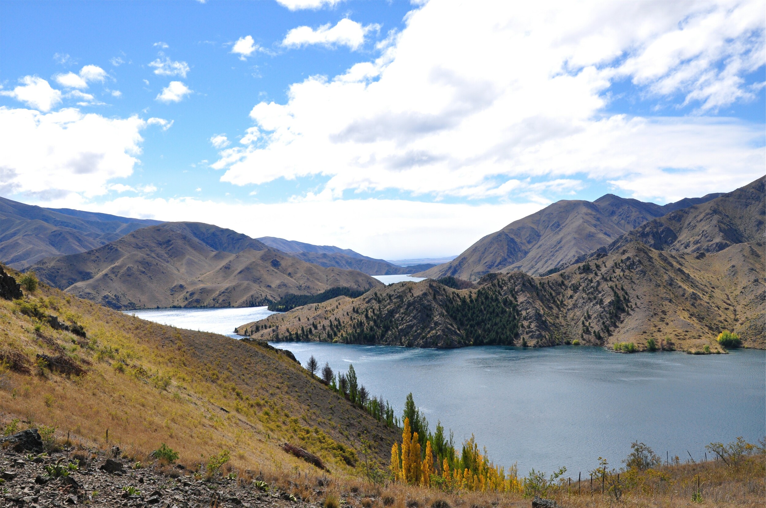
The track continued around the peninsula to a spot called Island Lookout which was a great place to take in the views of both arms of the lake. I only wish I had packed a picnic to enjoy on the bench that was helpfully placed on the very top of the ridge!
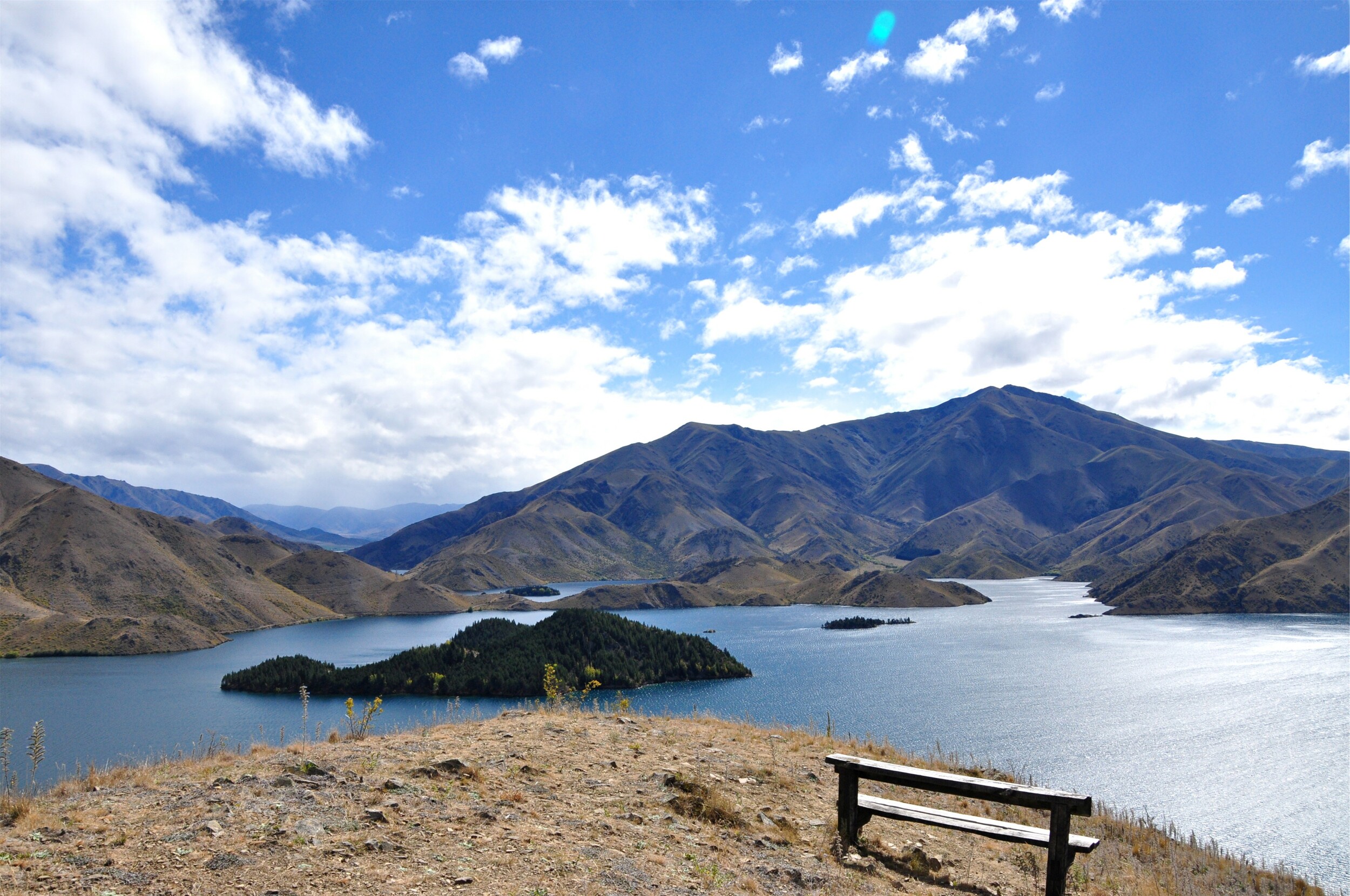
After returning to my campervan, I drove out through the Waitaki Valley and picked up the main road to Cromwell. With a storm system moving through the Island, I was hoping to miss the bad weather in the mountains and spend a bit of time in Central Otago.
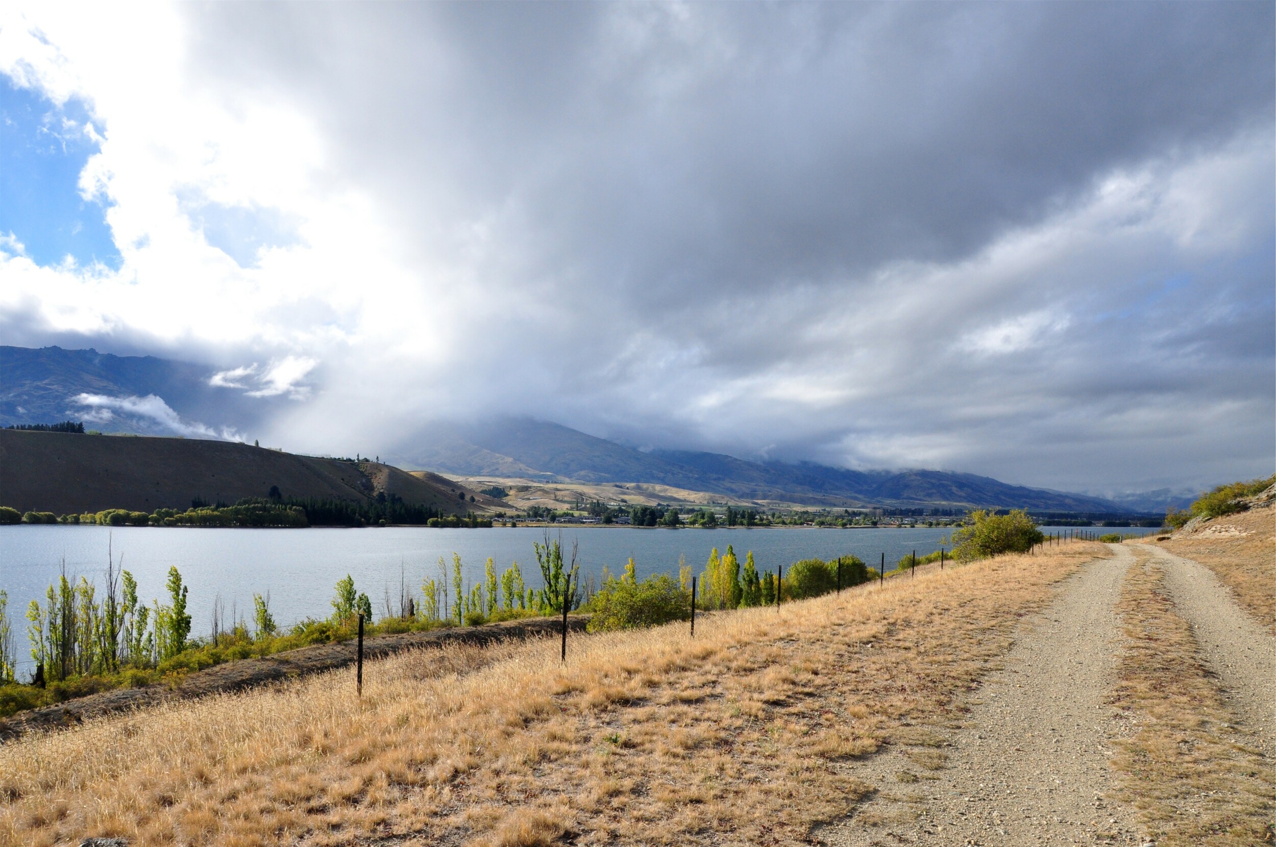
With the storms not far away, I decided to risk a quick stop at the Northburn Tailings on the shores of Lake Dunstan. A short track climbed up to the remains of an unusual gold claim where the tailings were stacked in almost-perfect herringbone patterns.
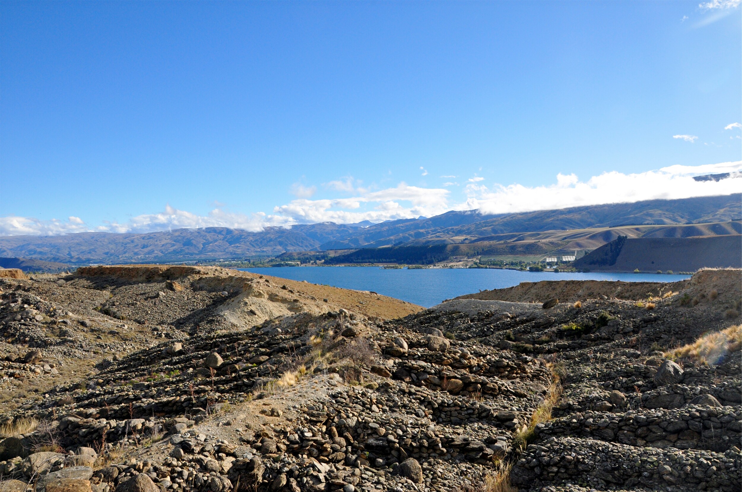
Without high-pressure sluicing systems and with a limited area to work, miners needed to stack the processed stones carefully to prevent them from collapsing into the work area. Having visited other mines in the area that used huge quantities of water to wash away massive sections of the hillside it was fascinating to see the carefully processed workings in this area.
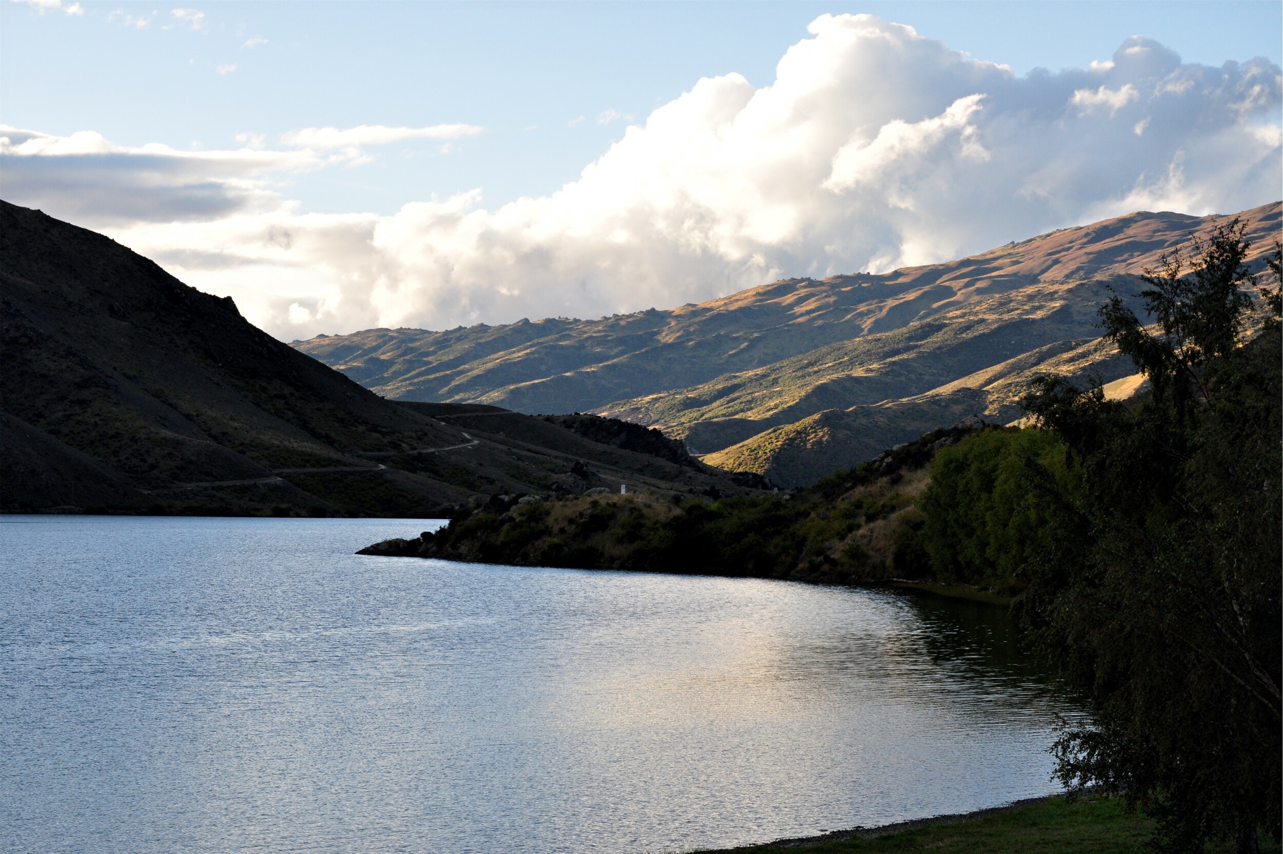
I continued to follow the Clutha River downstream towards Alexandra and was able to find a peaceful campsite overlooking the river for the night. Perched just above the water I had a great view of the changing evening light on the hills above the river and spent a relaxing evening resting up for a big hike the next day.
