Our Christmas trip this year took us north to the top of the South Island to complete our final Great Walk on the South Island and also walk the rather more luxurious Queen Charlotte Track. We opted to take the coast road up north and took our time exploring a few places along the way, making the most of the early summer sunshine.
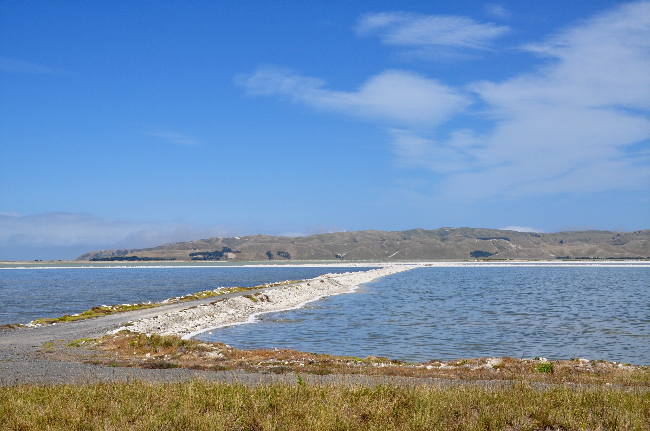
Our first stop was at the salt flats near Lake Grassmere, we always buy Marlborough Sea Salt for cooking, and when we saw that we would be driving right past the saltworks and evaporation ponds, we thought it would be worth a stop. Most of the basins were full of water, but we could just make out the salt crystals forming around the edges of the ponds.
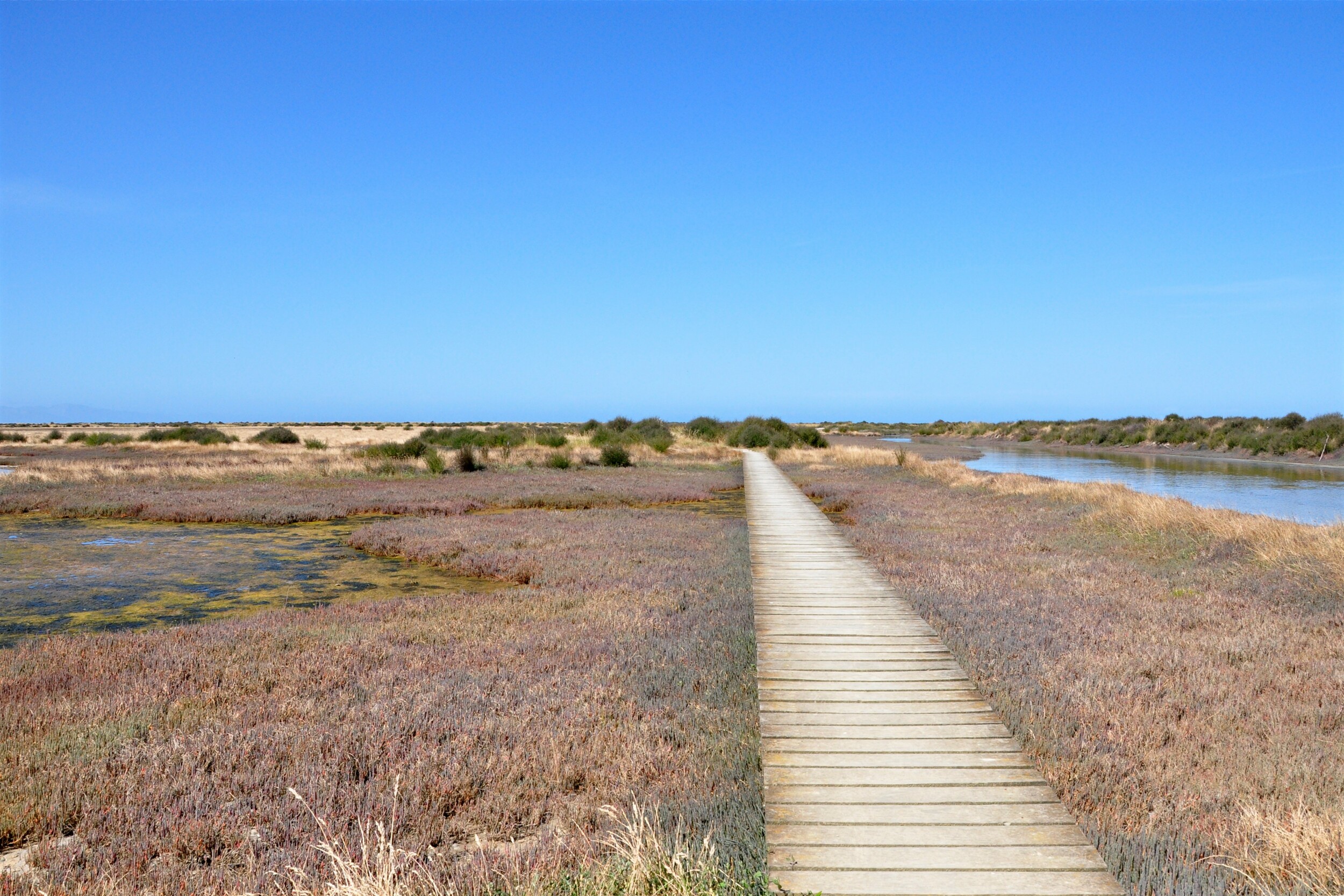
Our next stop was at the Wairau Lagoons, despite the track starting next to the waste water treatment plant, we quickly came out on to the lagoon. The vast saltmarsh was quite the contrast to the rocky coastline we are used to around the Banks Peninsula and the foothills of the Kaikōura Range in the distance.
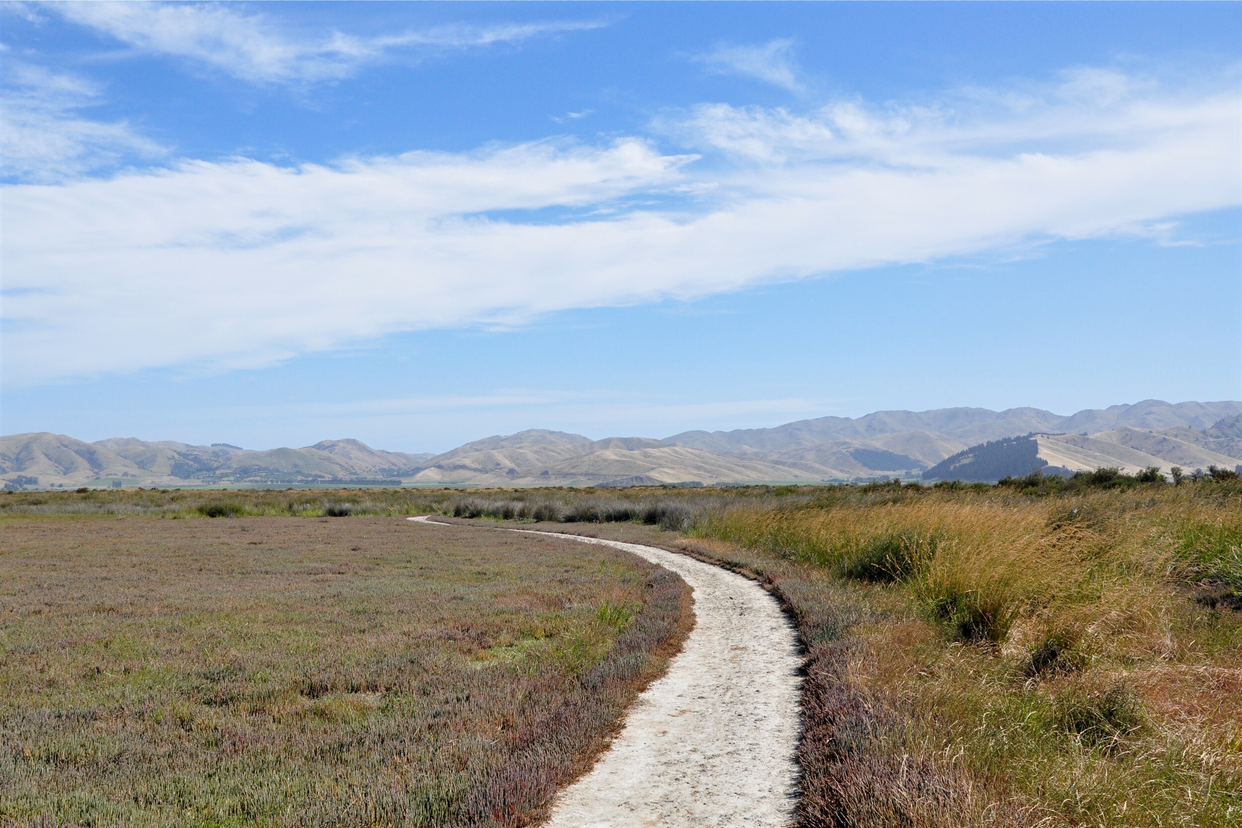
Although the marshes looked pretty bleak at first glance, as we got further out we started to hear a huge number of birds. We barely saw any of them, but the air was full of the twittering and chirping of small birds. Occasionally we would startle a group from a bush near the side of the track, but for the most part they remained hidden, such that we were never able to figure out what they were.

It didn’t take us long to reach the mouth of the Wairau River, we knew we were getting close as we saw the silhouette of the Waverly sitting low on the horizon.

Reading the history of the Waverly, it seems only fitting that this old schooner ended up aground here. Built in 1883 the boat was fitted for both cargo and passengers and included a saloon and smoking room panelled in oak and maple with crimson velvet upholstery. The Waverly travelled mainly between the lower North Island and upper South Island, often making an overnight crossing of the Cook Straight on Friday nights.
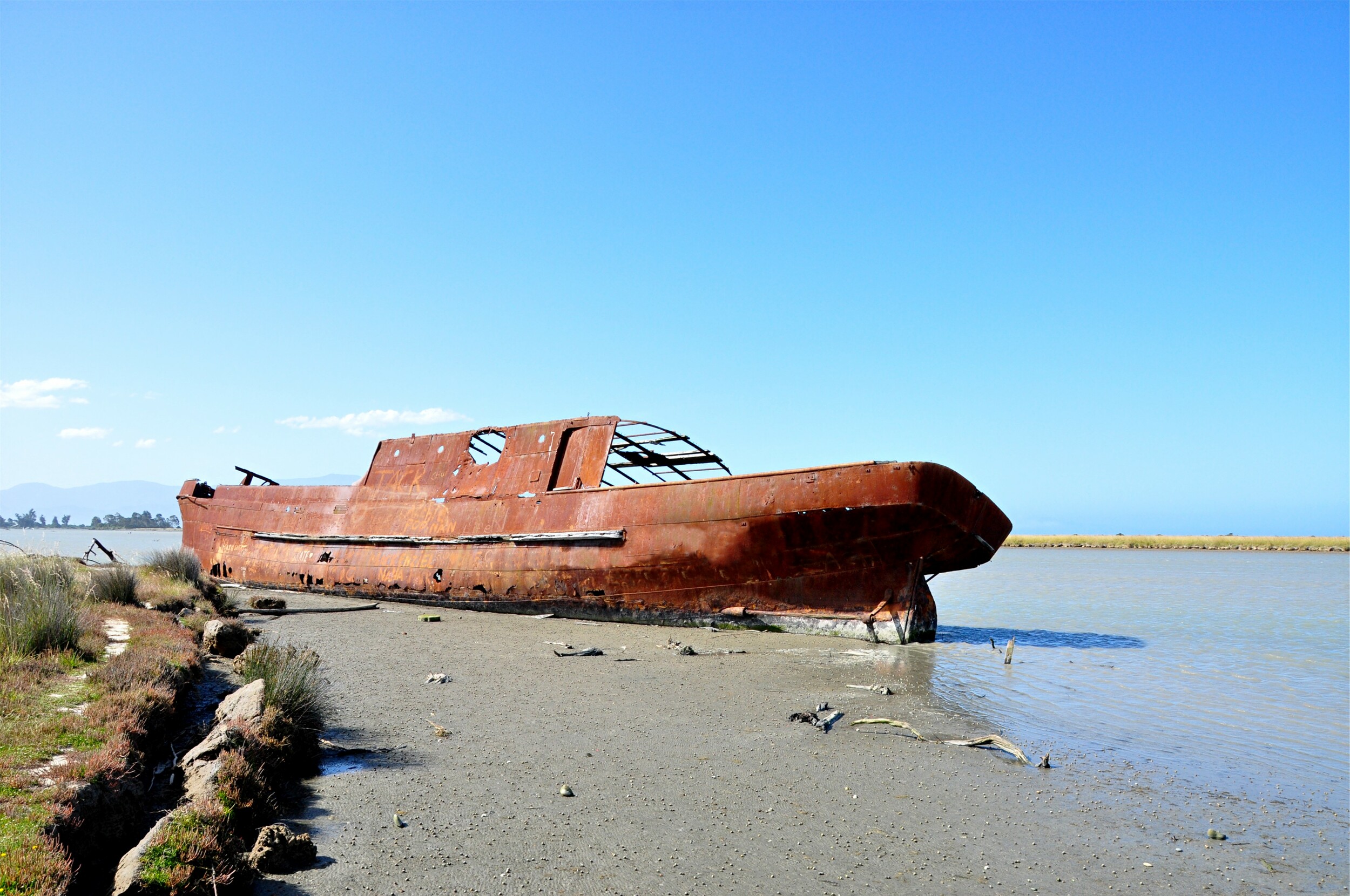
Reading through the history of the boat, it was clear that it had the rather unfortunate habit of getting stranded at the town of Patea on the North Island. After a series of strandings between 1917 and 1925, the Waverly was sent to Wellington to be dismantled. The hull remained intact and was to be used to form a breakwater off of the Wairau River mouth. Just before the Waverly was scuttled, it was caught in a flood in the channel and ended up getting stuck in the lagoon where it still remains today.

We finished our walk and headed into town to a beer garden for dinner. With a lovely summer’s evening ahead of us, we decided to make one additional stop before heading to our hotel in Picton. We had seen a reference to a small beach that was somewhat off the beaten track and decided it would be worth taking a quick look.

We followed a small road through the vineyards to a small beach town of Rarangi, and found the trailhead and parking quite literally at the end of the road. Tucked away in the corner of the carpark, we were surprised to find a grand stone staircase leading up towards the cliffs.
At the top of the staircase was a lookout over Cloudy Bay, and the evening sunshine allowed us to clearly see the unique patterns on the beach caused by long-shore drift depositing material here from the nearby Awatere River.

We continued along the track a little further and came to Monkey Bay, a small little cove with its own beach. Sadly, we weren’t able to discover how Monkey Bay got its name, but on reaching the sand we were surprised to find a long sea tunnel.
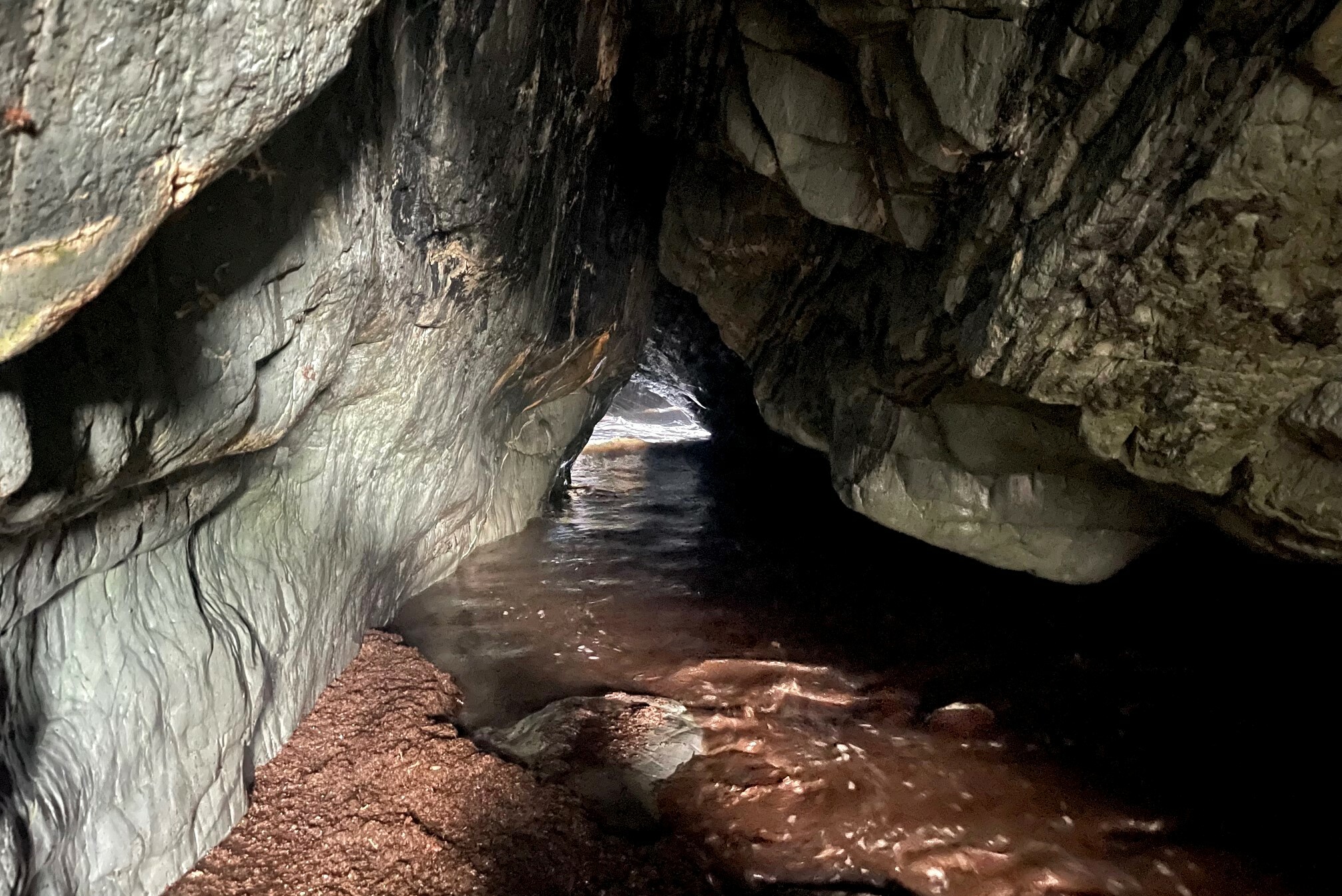
Ever since this area became popular as a recreation area in the 1920’s people have been exploring the caves in this area, hoping to find ways to connect the small coves together. After watching the waves in the cave for a while, we decided it was time to head north to Picton to get settled in for the night.
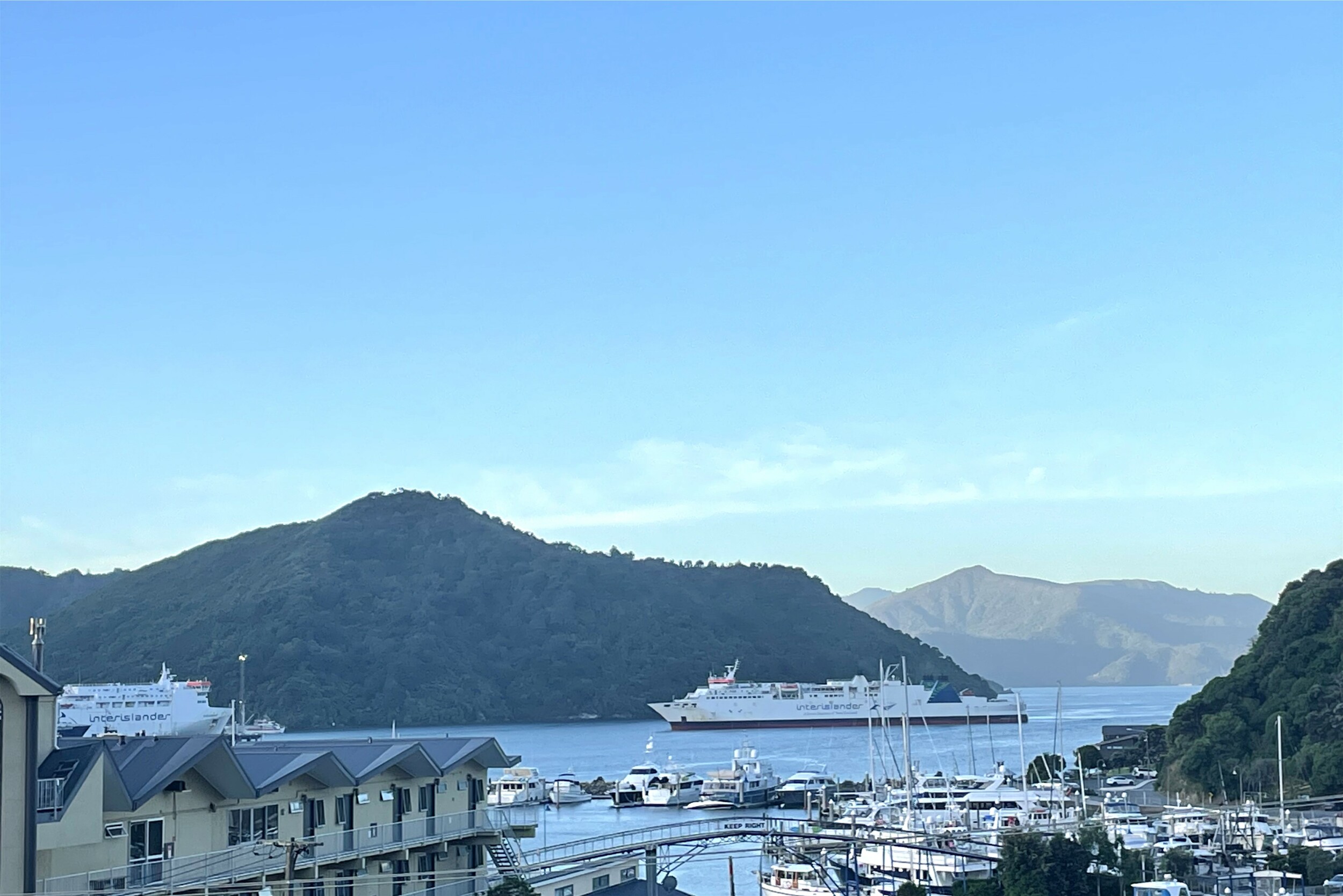
We arrived in Picton and spent the rest of the evening in our hotel overlooking the port and watching the inter-islander ferries go back and forth and maneuver around in the narrow harbour before heading off into the Sounds.
