We left Valley of Fire early and after stopping to pick up some extra supplies as we passed back through Las Vegas, we arrived at Death Valley just before lunchtime. Even in late October the sun was really warm so we retreated to the shelter of our campervan for lunch before heading out to explore.
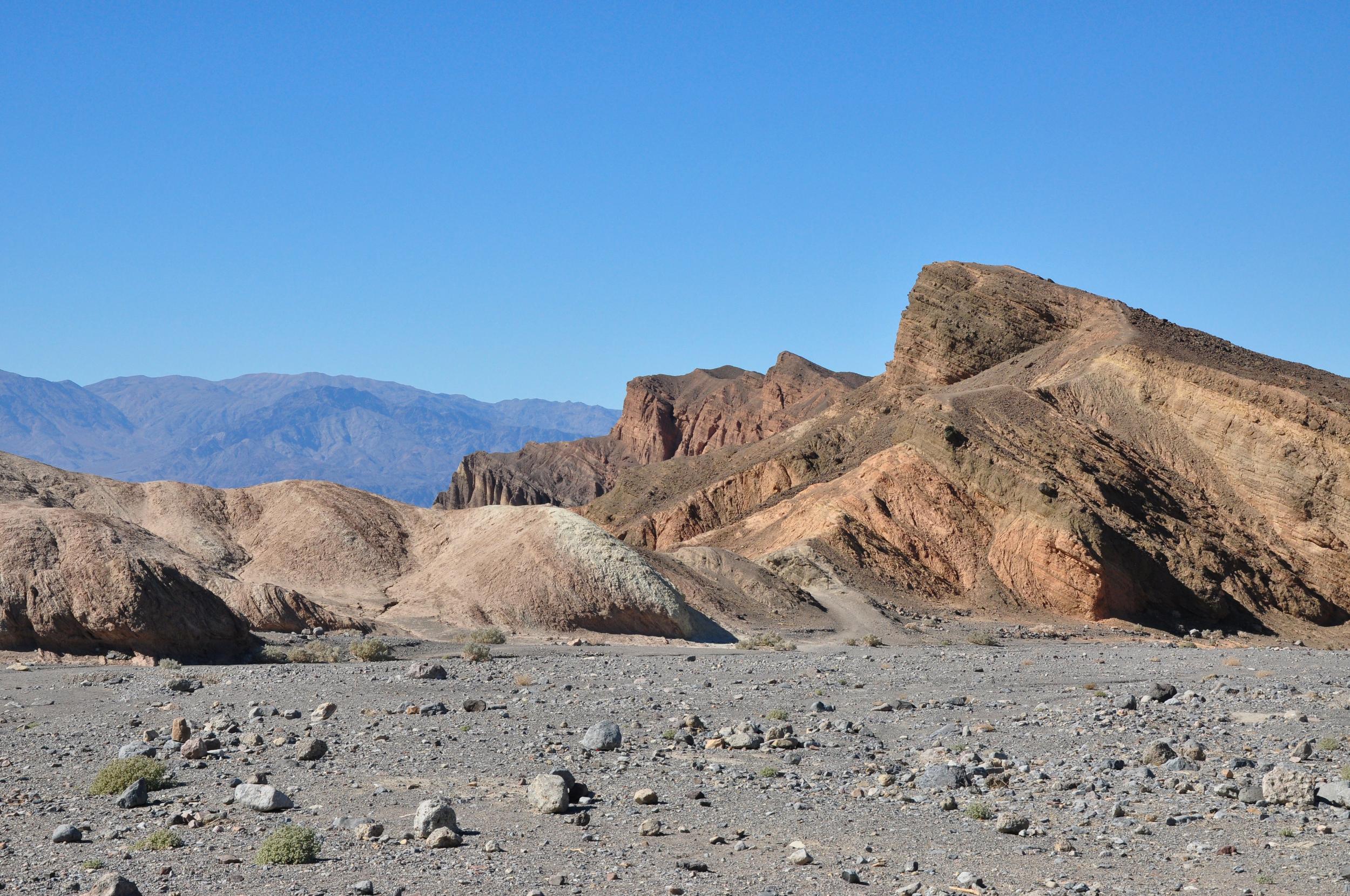
Despite the research I had done whilst planning our trip, I was surprised at the scale of the badlands that surround the salt flats that the park is famous for. It was incredible to look around and see almost no plants or anything green, a huge contrast to the dense bush in New Zealand that we are becoming accustomed to seeing.
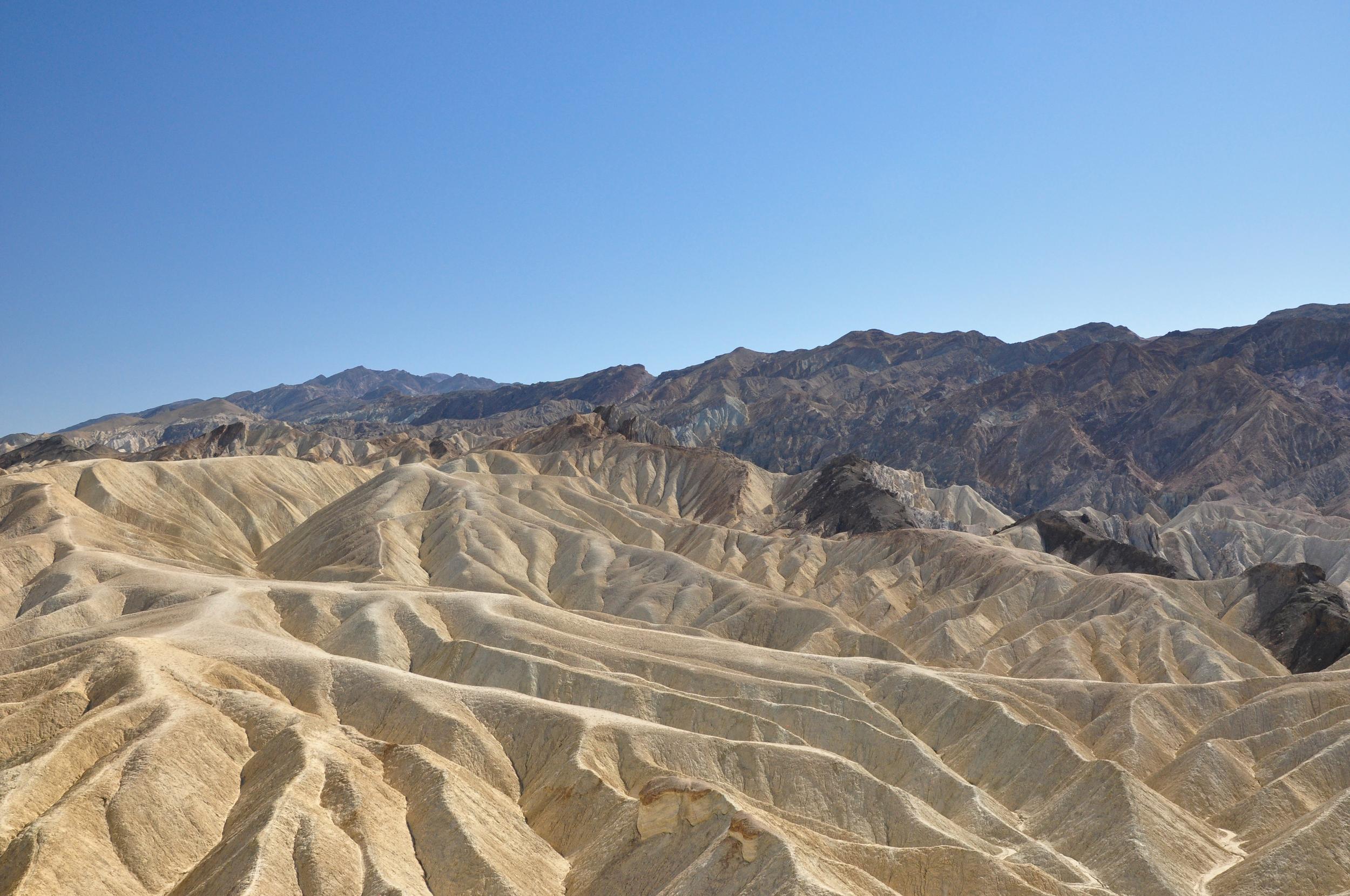
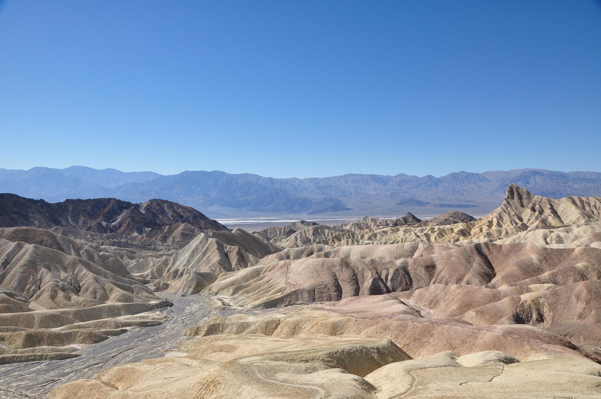
We walked up to the lookout point where we had great views over the badlands with their intricate pattern of canyons and gulleys that had been created slowly over time by the limited water that falls here. In the distance we could just make out the gleaming white of the salt flats.
From Zabriskie Point, we continued to wind our way down to Badwater Basin, the lowest point in North America at 282 feet (86 meters) below sea level. You don’t really get a sense of the altitude, until you look up to the neighbouring hillside and see a sign for sea level way above you.
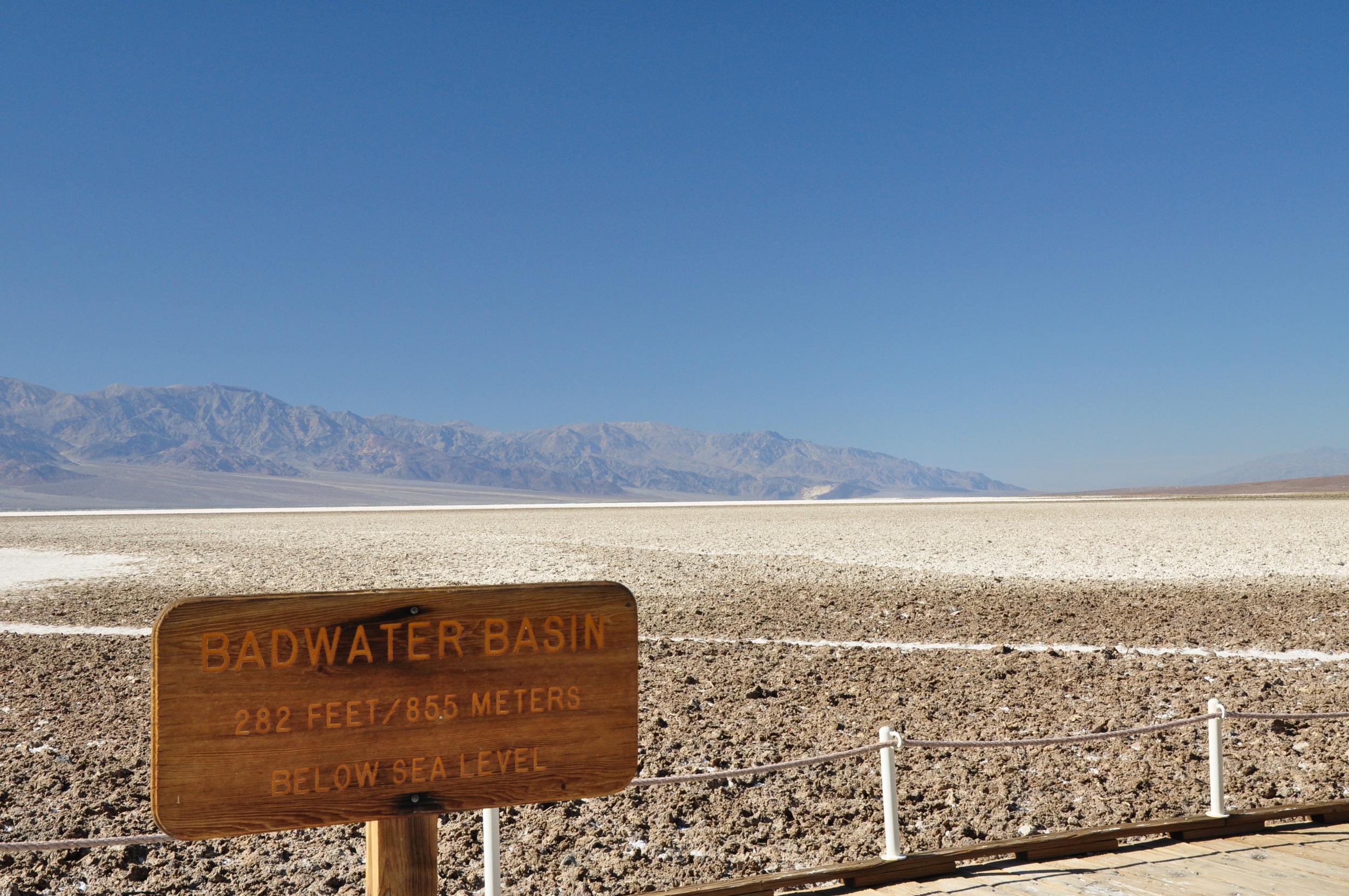
As we stepped down onto the boardwalk at the edge of the basin, we were surprised to see a small pond. It turns out that this was the spring-fed pool that may have give Badwater Basin it’s name. The story goes that a mule belonging to an early surveyor refused to drink from the water here, leading it to be earn the name Badwater Basin, even although the water isn’t actually bad, just incredibly salty.
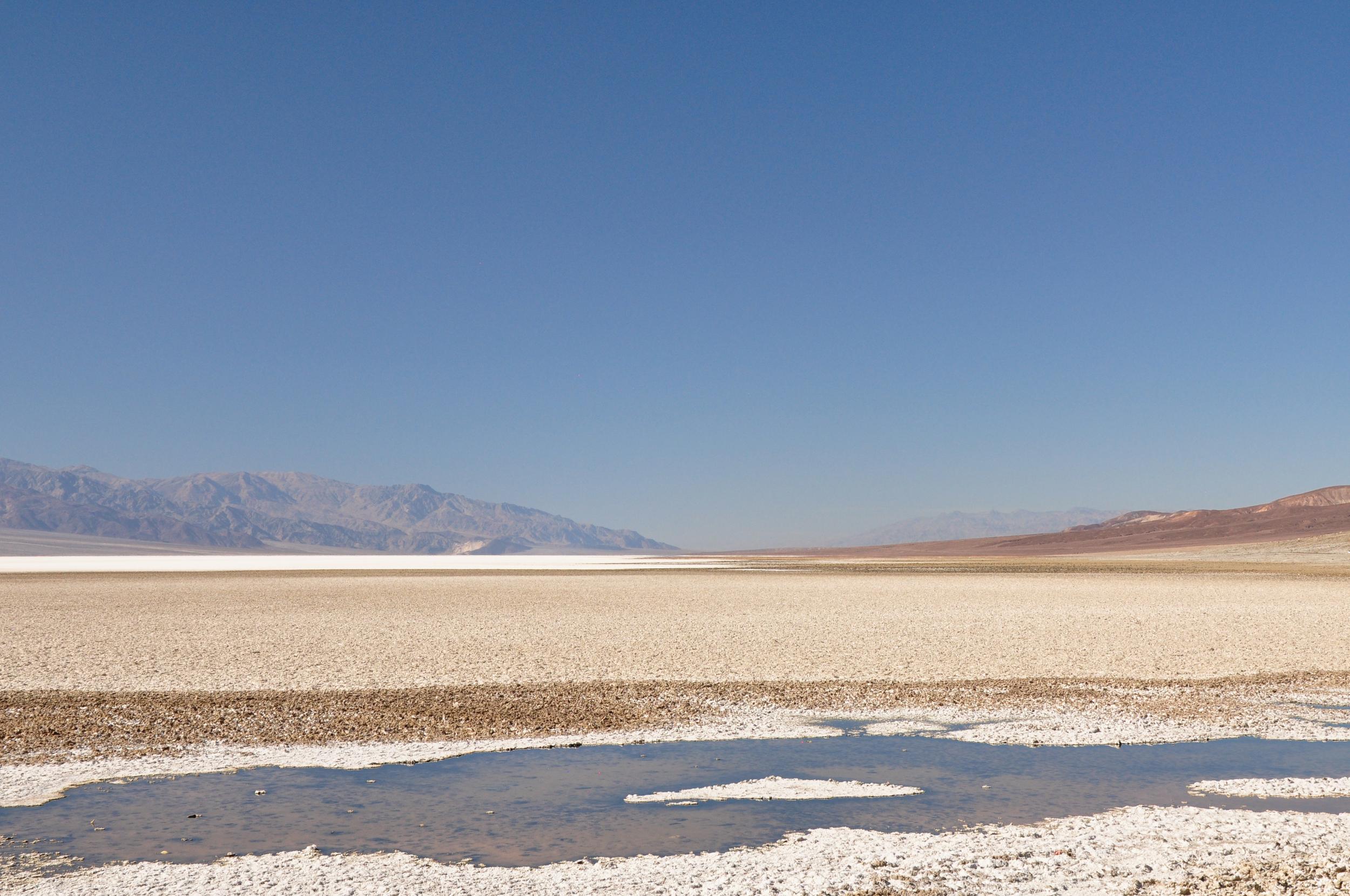
Although there is a boardwalk at the start of the salt flats, you are actually able to walk out as far as you want across the vast (200 square mile / 518 square kilometer) salt flats.
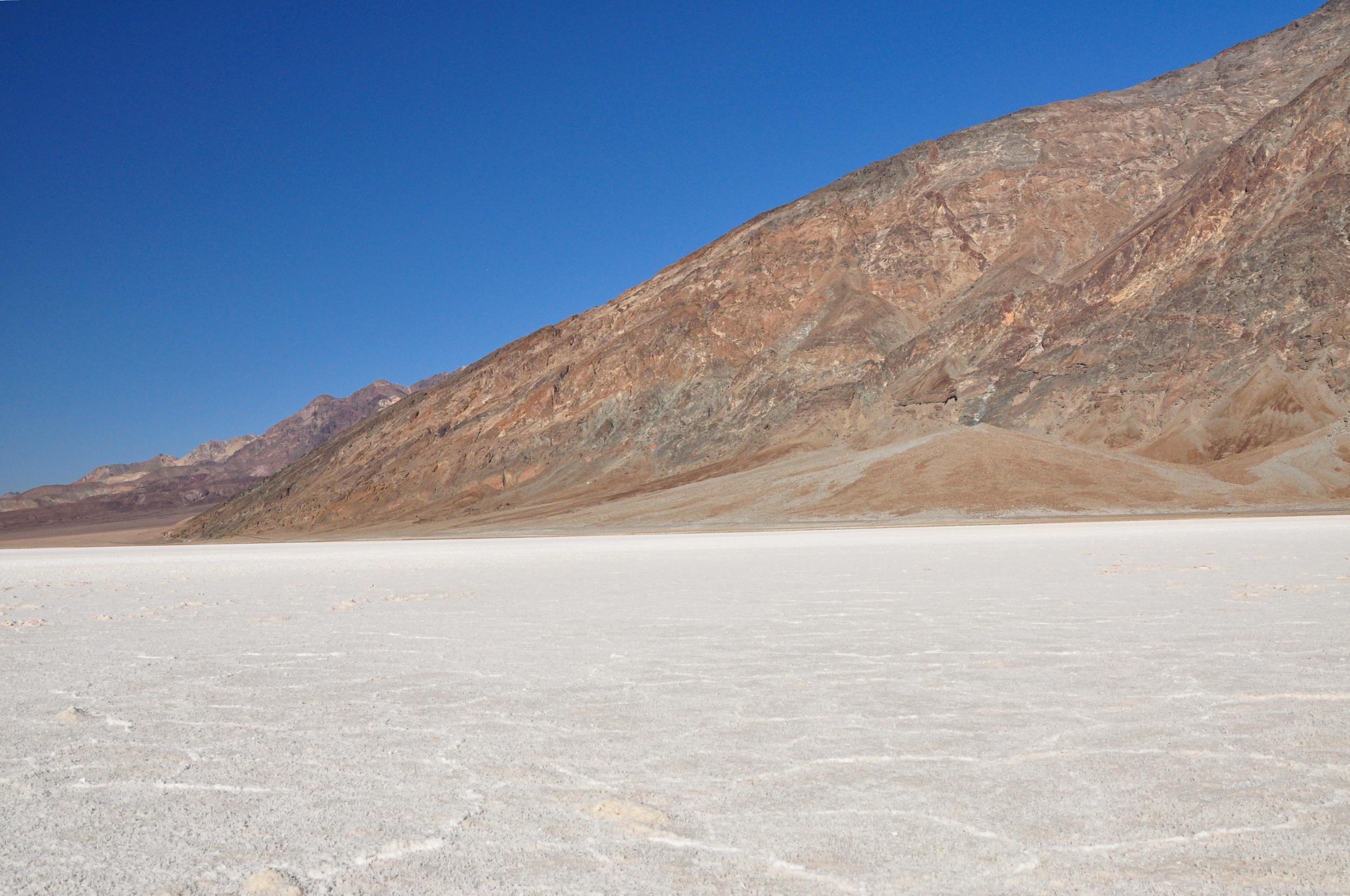
The further out we got, the less disturbed the salt was and eventually we started to see shapes appearing in the salt. The geometric salt polygons form on the flats as groundwater rises up through the salt deposits and evaporates.
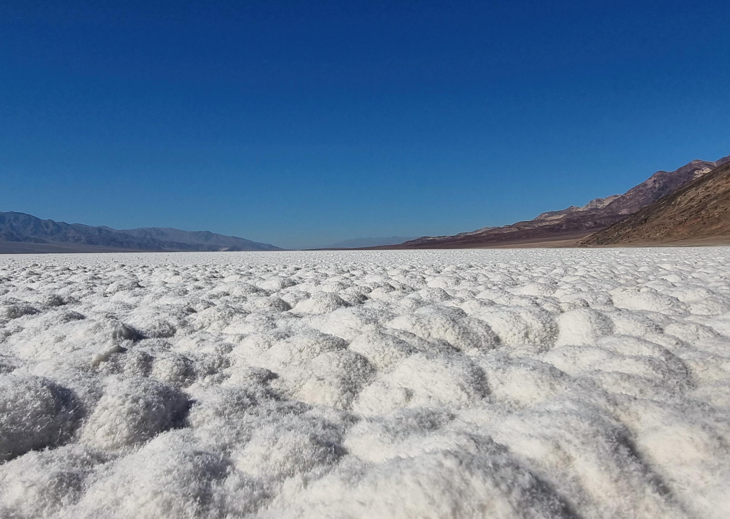
In other areas the ground was actually a little damp and here the salt formed more rounded shapes, it looked as though there was a fine layer of snow covering pebbles on a beach. Although by this point the afternoon sun was providing a constant reminder that this was defiantly not snow!
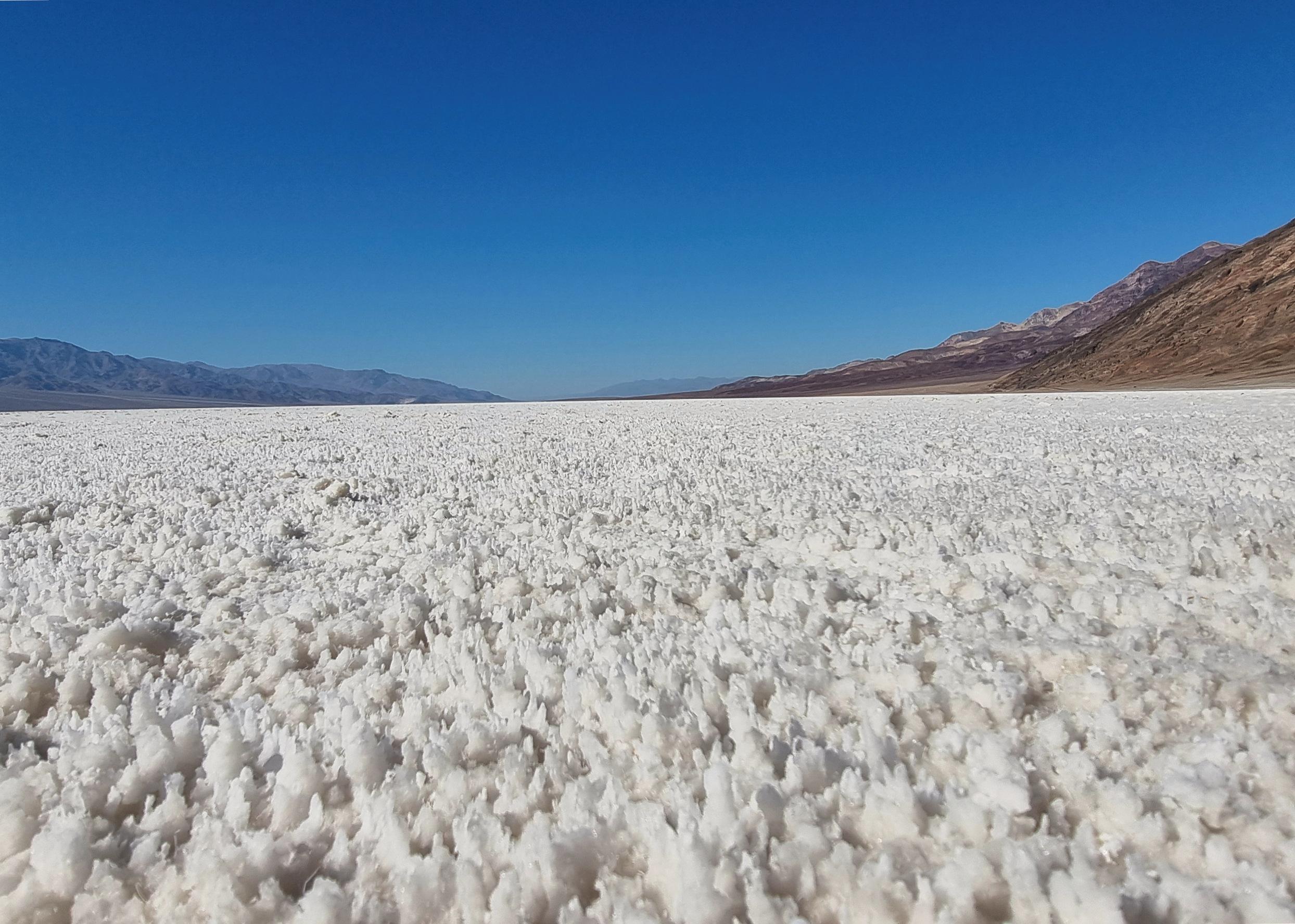
Just before we turned back to continue our trip through Death Valley we came across another wetter area where the salt crystals looked to be growing like miniature stalagmites.
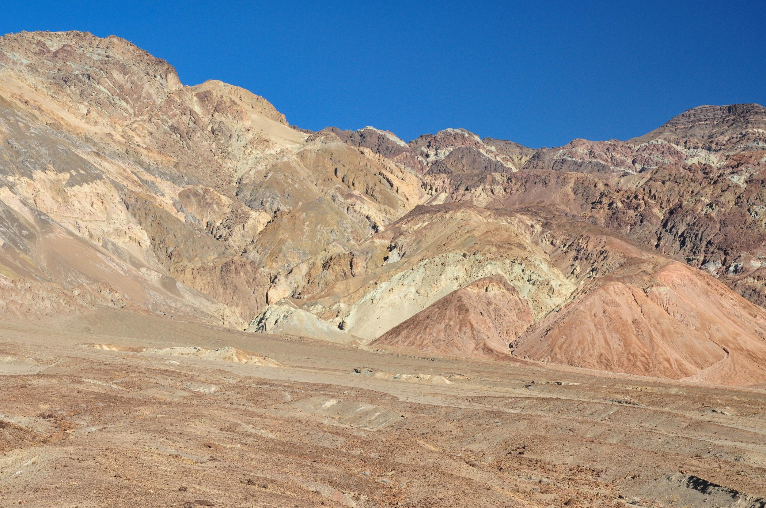
Before leaving the park we took the scenic drive through an area known as Artists Palette. The road itself was a bit of an adventure as our campervan was pretty close to the twenty-five foot vehicle length restriction. Despite the tricky drive, we were pleased we made the effort as this area of the park was different from the other places we had visited.
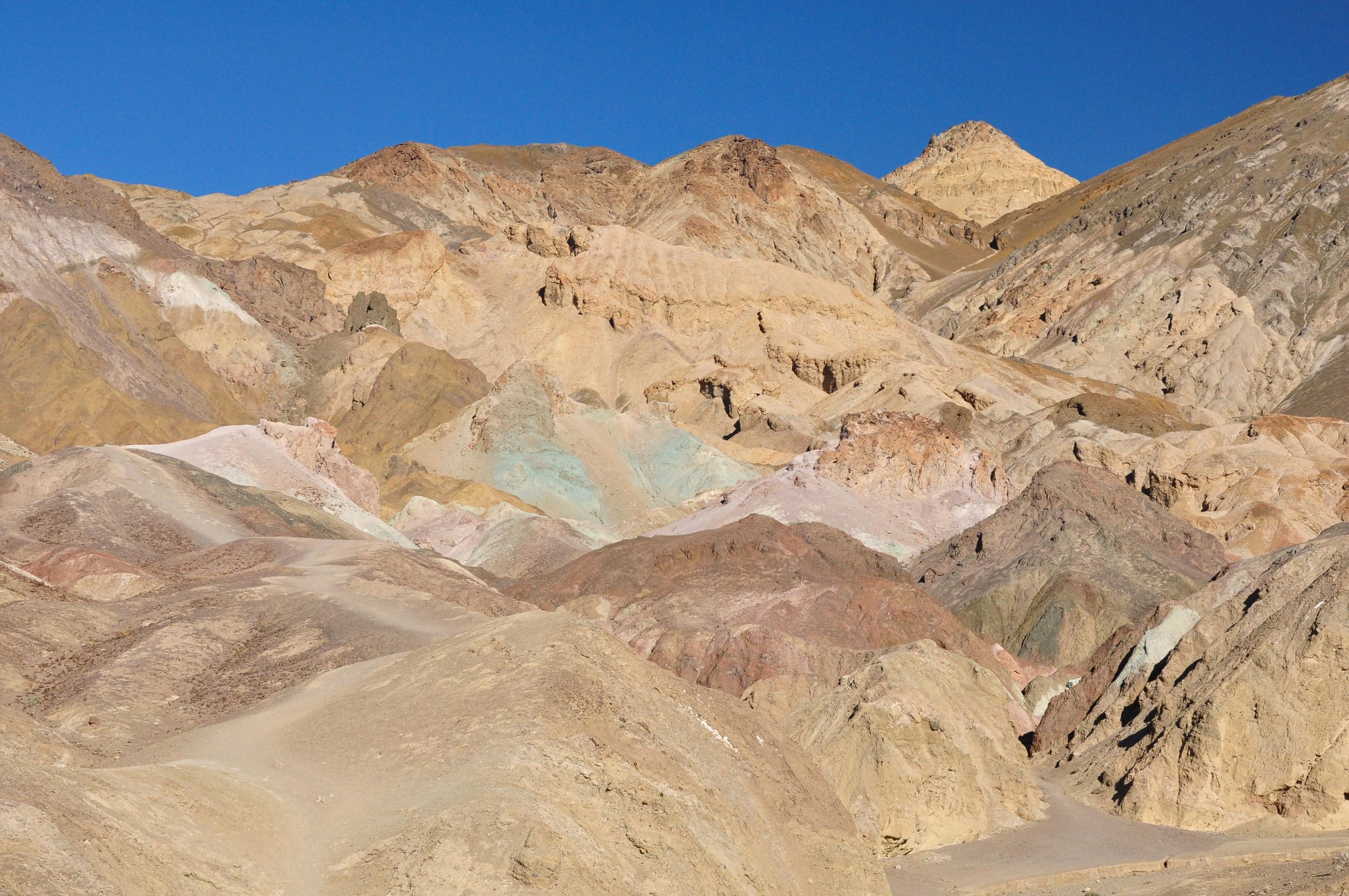
Tucked away in this canyon were several areas of rock that had been exposed by the elements to reveal a variety of colours from the volcanic deposits within the rocks.
After admiring the colours for a while we got back in the campervan to make our way back up out of the basin and started the long climb up towards the Sierra Nevada mountains where we had a couple of days hiking planned.
