After heading over Lewis Pass to the west coast, we turned north and followed the coast through an area of abandoned coal mines towards the small village of Seddonville. Passing through the small hamlet, we then wound our way over the forested hills to the Charming Creek Walkway trailhead. Immediately upon arriving at the car park we started to see signs of the industry in this area.
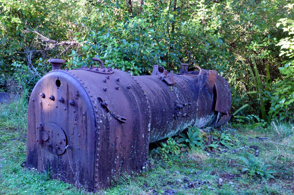
We crossed Charming Creek on a small bridge to the site of the old Charming Creek mine and the start of the trail.
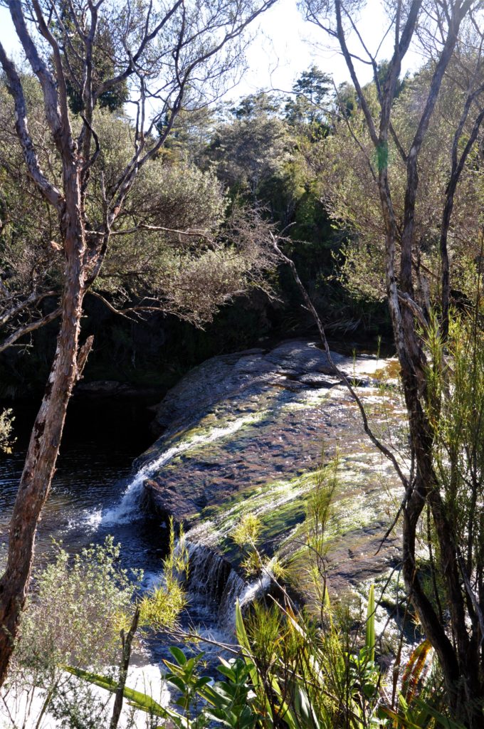
The mine here operated until 1986 and unlike some of the old mining sites we visited in Colorado, much of the old equipment was mostly intact. It was fascinating to see how many of the same boiler parts that we had seen in Colorado were fitted together!


Production at the Charming Creek mine peaked in 1940 when it employed 70 people and produced over 40,000 tonnes of coal. After spending some time looking at the various boilers and engines, we followed the route of the old railway down the valley.
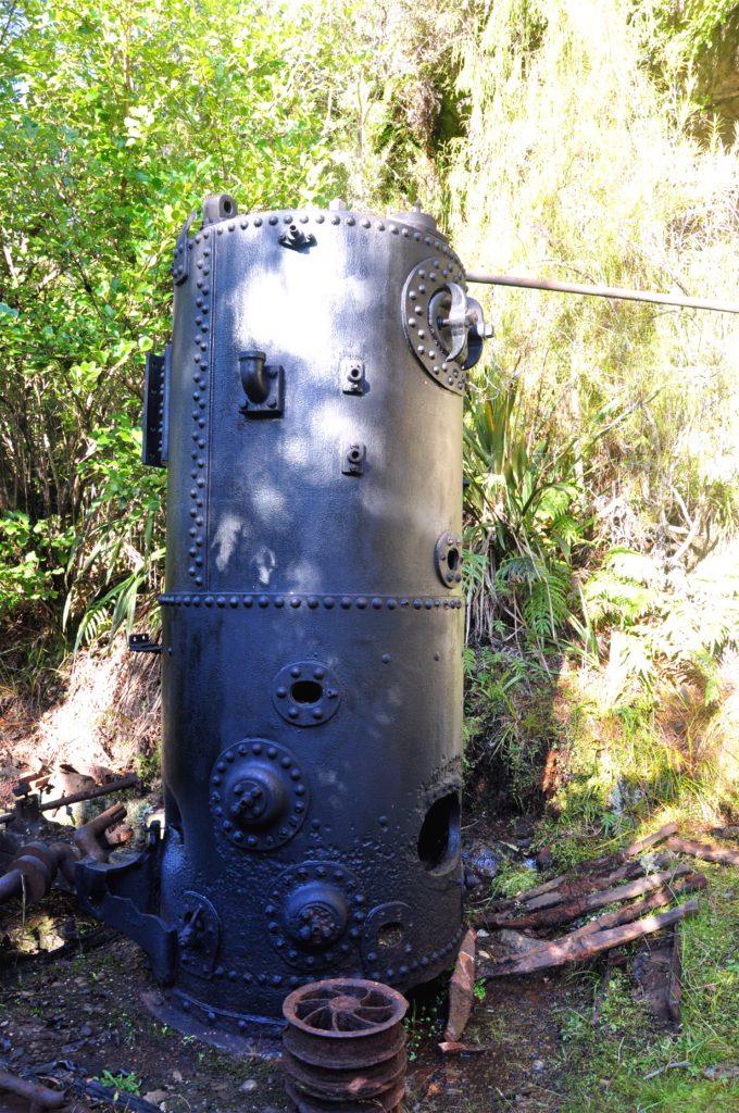
It was amazing to see so much equipment just lying around at the side of the trail. Some of the steel was still in good enough condition that we could see the makers marks from Sheffield in the UK. It was hard to imagine how they got so much equipment up to such a remote site. The miners had a daily 8km bush walk to reach the mine or they would ride the empty mine tubs up the valley from the town of Ngakawau on the coast.

The original railway was constructed by a local sawmiller to service the mill further downstream and before coal production could begin in 1929 the mining company extended the railway an additional 4km up the valley to reach the site of Charming Creek Mine.
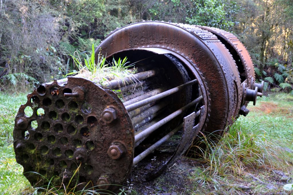
Tractors modified to run on rails puled the coal trucks. The line from the mine to Ngakawau on the coast drops more than 100m and to assist with braking for a heavy load of coal a raised wooden centre rail was installed in the steepest sections of the line the brake was applied by winding a handle at the back of the engine.

Unlike many of the converted railways and cycle paths that we have visited, many of the rails and sleepers have been left in place. Whilst it means that you have to look carefully where you tread, it really helps you to imagine what the area would have been like.

We continued past the site of the two old sawmills before the railway line entered the narrow Ngakawau Gorge. The sawmill owners had tried other routes for the track, but after just ten years of operation they moved the tracks to their current location.
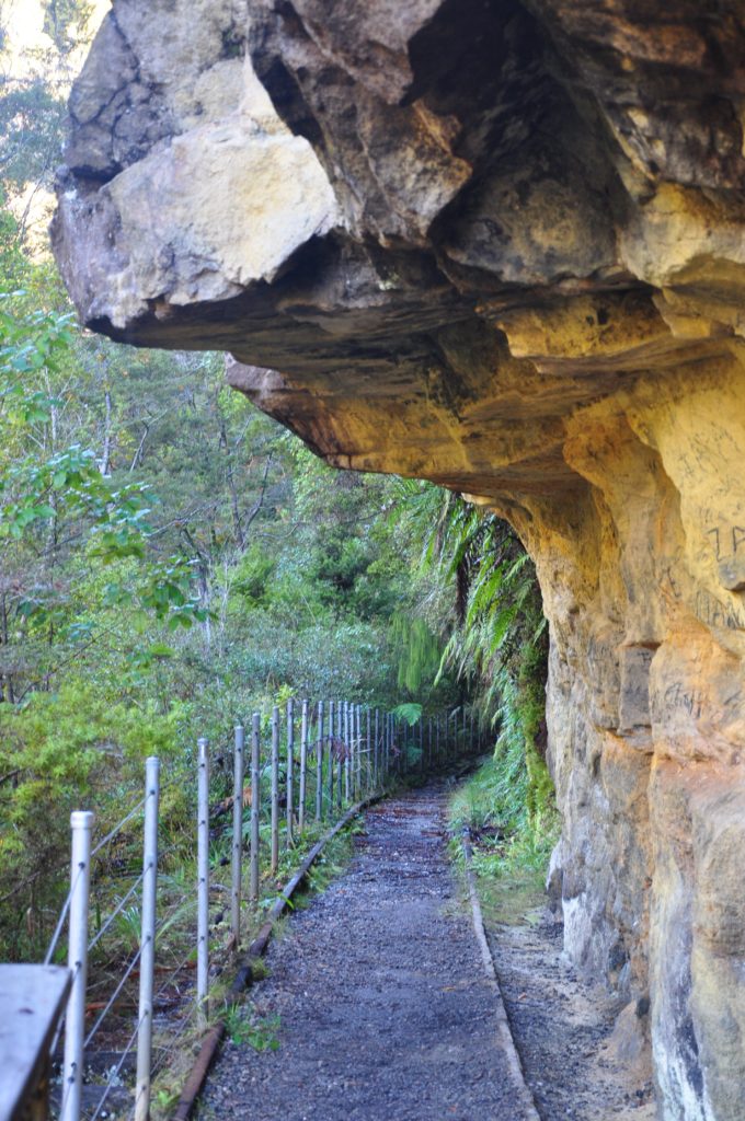
With the rails still in place you really got a sense of just how precarious this route was, especially for a heavily loaded coal train. We continued on a short distance until we reached the entrance to a tunnel.
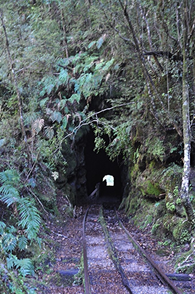
Although only about 50 metres long, as we made our way through the tunnel it was easy to see how it had been carved by hand.
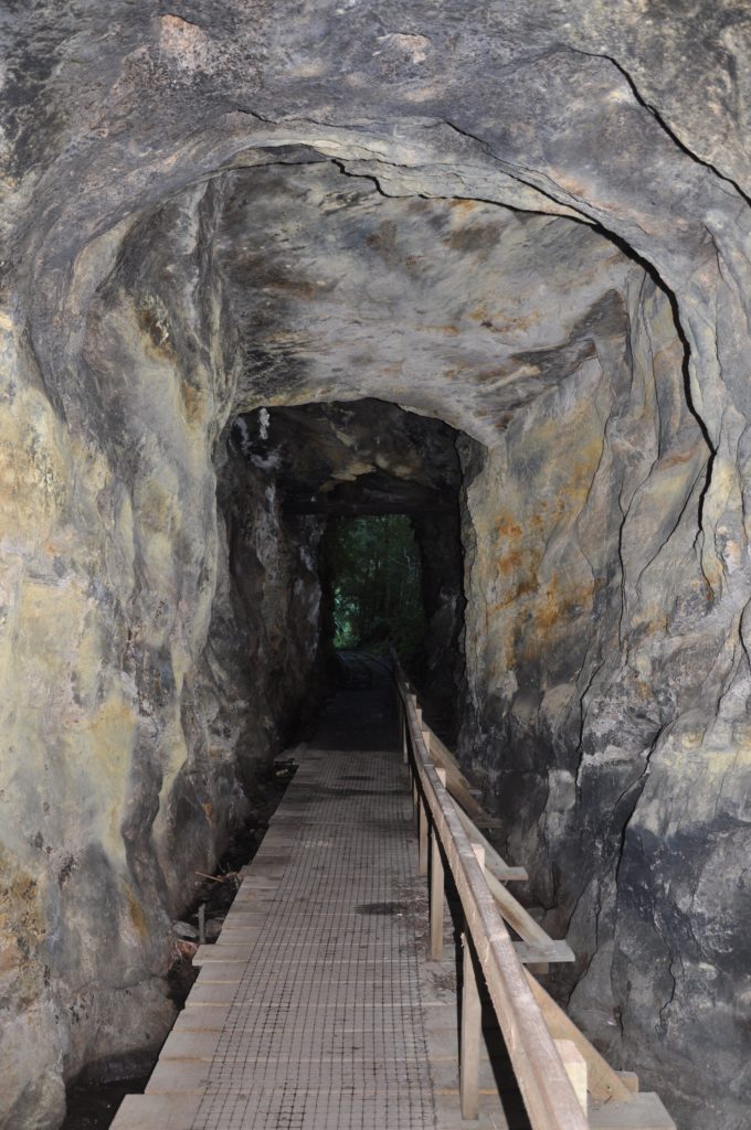
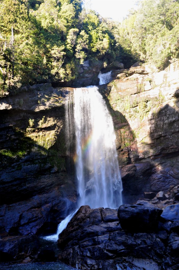
We came out of the tunnel onto a section of track called the Verandah, and it was easy to see how this section got its name as we looked across the river to Mangatini Falls.

After having followed the river some distance it was surprising to see the large falls and steep canyon walls. As we admired the view we could see a rainbow in the early winter sunshine.
A little further down the valley we came to a long suspension bridge across the river.
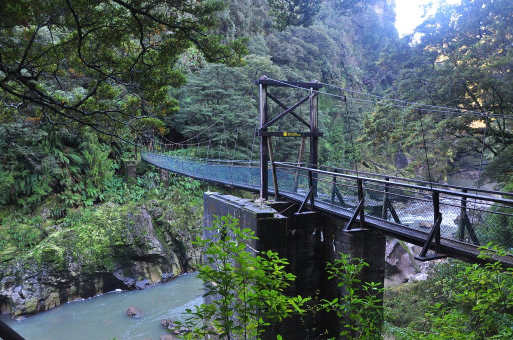
Beyond the bridge the track was closed due to some rocks that had come loose during the Kaikoura earthquake, so we stopped on the bridge to admire the valley before retracing our steps back up to the car park.

We really enjoyed our walk through the valley as it felt as though every few minutes there was something new to look at. These days this part of the west coast is very remote and quite difficult to get to, however it was clear to see that up until quite recently the entire valley was a hive of industry and activity, so different from the peaceful place it is today. Whilst researching the area we came across a very detailed study about the area which provides lots of information about the history (click here to read it).
