Our second day on The Old Ghost Road was a relatively short one, just twelve kilometers (7.5 miles), but with much of the track following the ridges above bush line we we planned to take our time to enjoy the views.
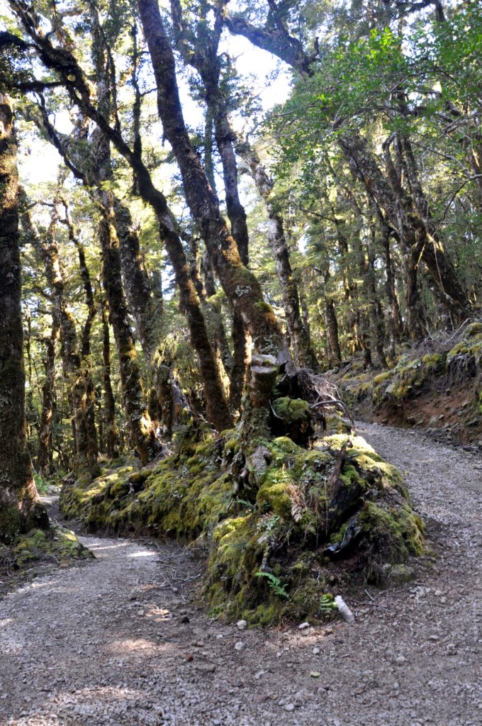
Before we could get to the scenic part of the hike, we had a few more metres to climb through the forest. As this was a mountain biking track, unlike most hiking tracks in New Zealand, the trail contained a series of switchbacks which made the ascent much easier than the typical track straight up the side of the mountain.
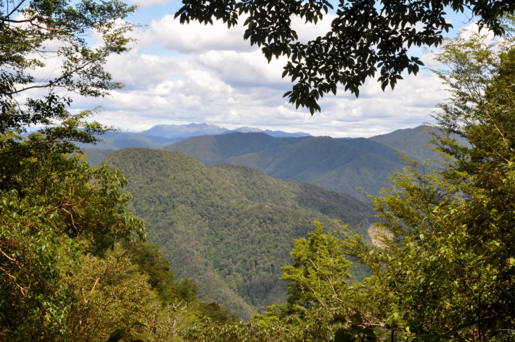
On one of the bends, there was a perfectly placed bench for us to sit and enjoy morning tea whilst looking out the densely wooded hillsides of the Lyell and Glasgow Ranges.
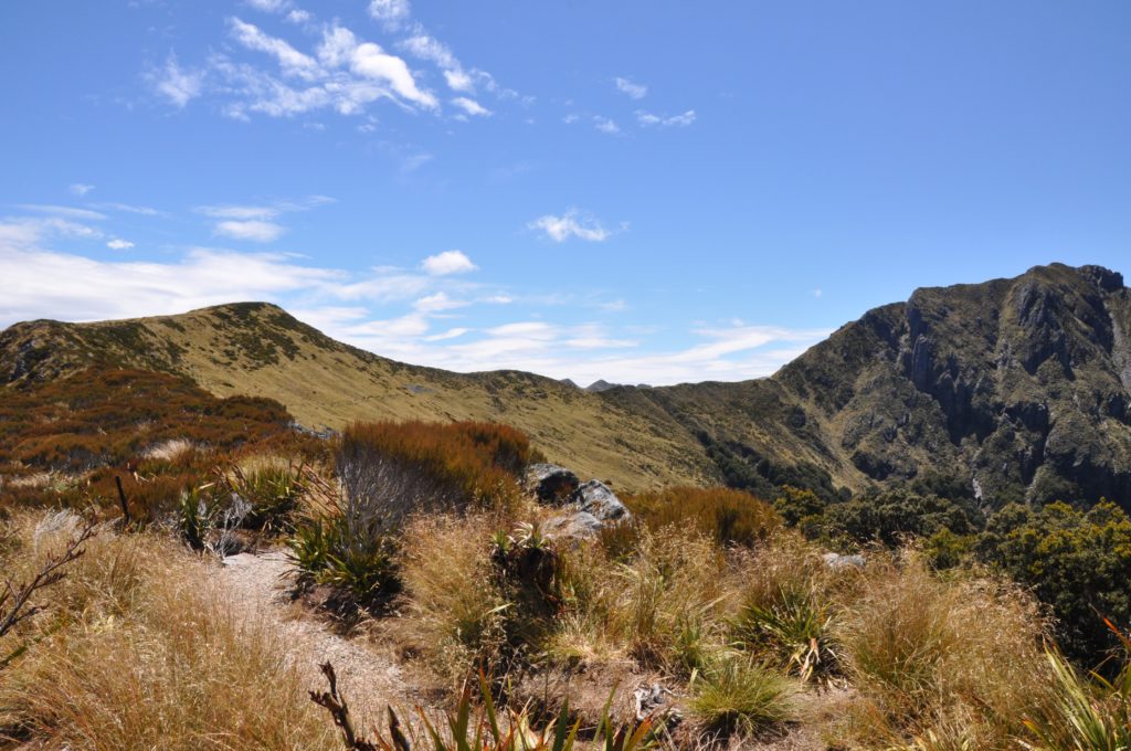
A short while later the bush started to thin and we found ourselves on the grassy tops above treeline. As we looked out at the almost 360 degree view, we could make out the trail in front of us that led towards Rocky Tor, the highest point of The Old Ghost Road.
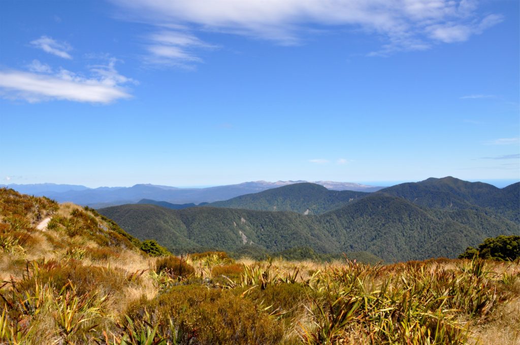
Looking back behind us we could see all the way out across the Denniston Plateau to the Tasman Sea beyond. Although the West Coast is know for its cloud forest and high rainfall, we felt very fortunate that our trip across the tops was on such a beautiful day.
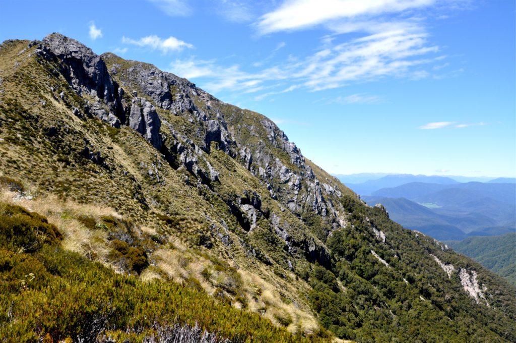
As we approached Rocky Tor, we were able to start to pick out places in the valley beyond, including the town of Murchison and the peaks of Nelson Lakes National Park in the distance. At almost 1,300 metres (4,265 feet) above sea level, we had stunning views, which made the climb up from Lyell (just 100 metres (328 feet) above sea level) well worth it.
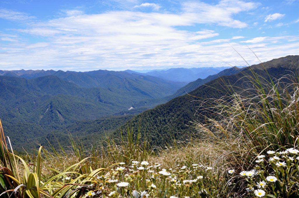
Just short distance along the ridge we crossed the saddle to find a very conveniently located picnic bench! We felt that this was the perfect spot to stop for our Christmas Eve lunch and spent a while enjoying the warm sunshine and views.
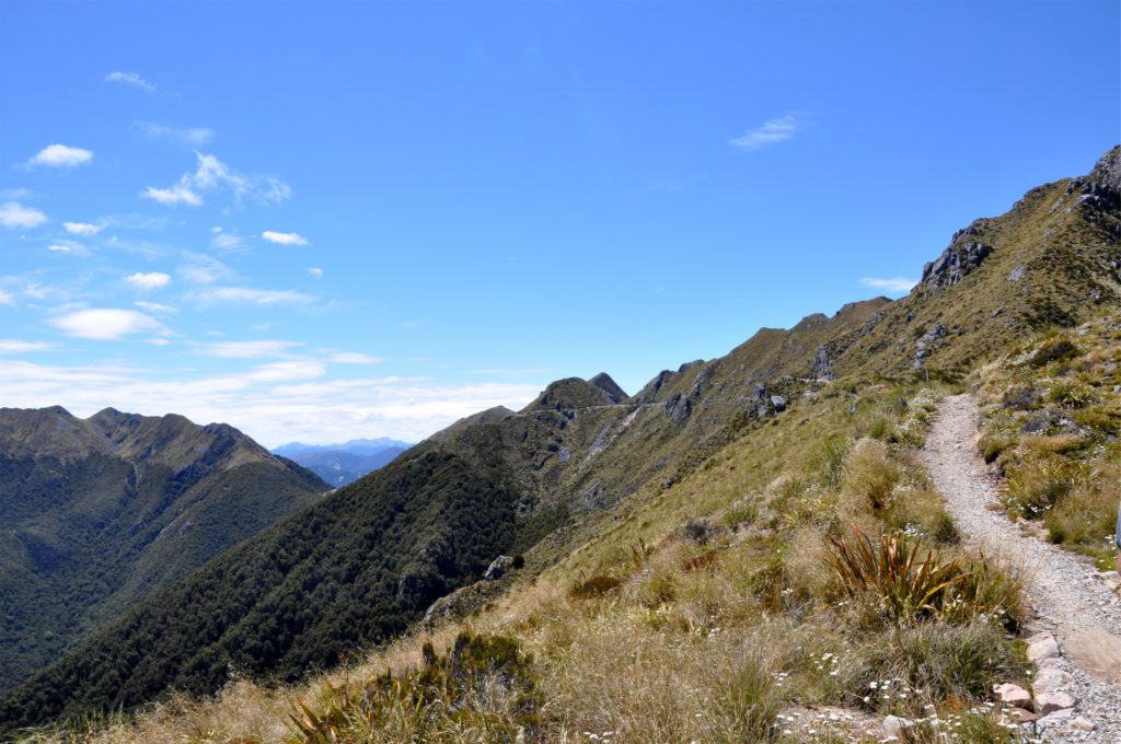
Eventually we decided it was time to continue on our way to our destination for the night, Ghost Lake Hut. This section of the track hugged the side of the mountain as we crossed the high alpine tops and was part of the harder rated section of the track for mountain bikers.
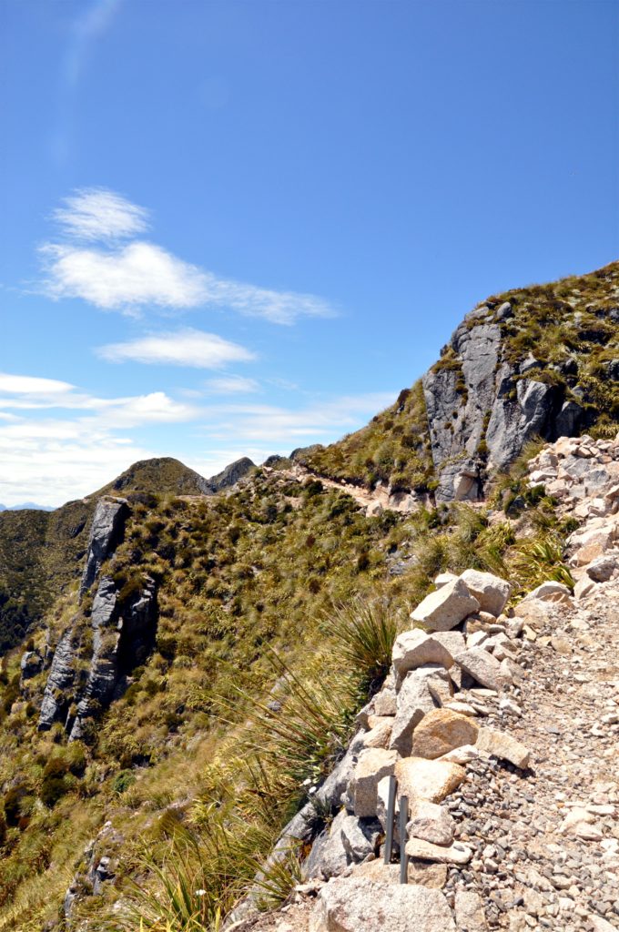
It was easy to see how this part of the track would be more challenging on a bike, and you would need to keep your wits about you to avoid the steep drop offs, but as a walking track it was very pleasant and we were able to enjoy the views.
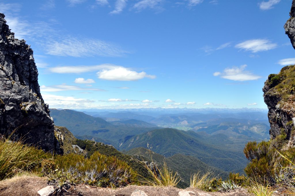
As we continued along the ridge, we came to a break in the rock wall behind us and had a perfectly framed view of the Murchison Valley and Nelson Lakes National Park in the distance.
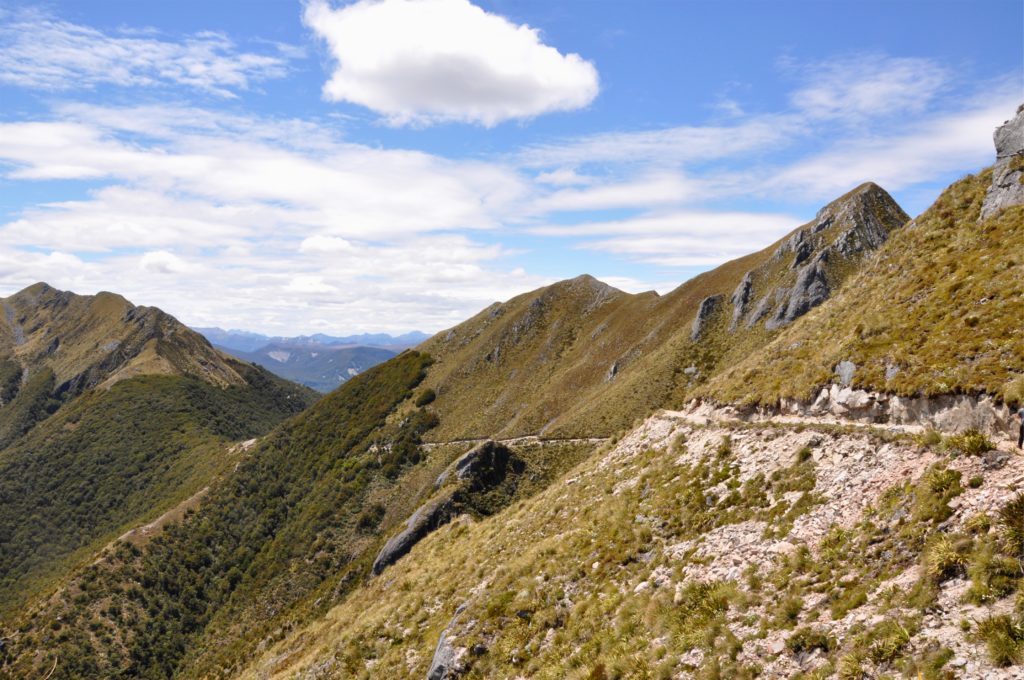
The trip across the rocky ridge was one of our favourite parts of the track, despite this, it was actually not part of the original plan for The Old Ghost Road. The original route that was depicted in the old miners survey map, stayed low in the valleys, but when the modern crews looked to find the original dray road they discovered that it stopped a little past Lyell Saddle.
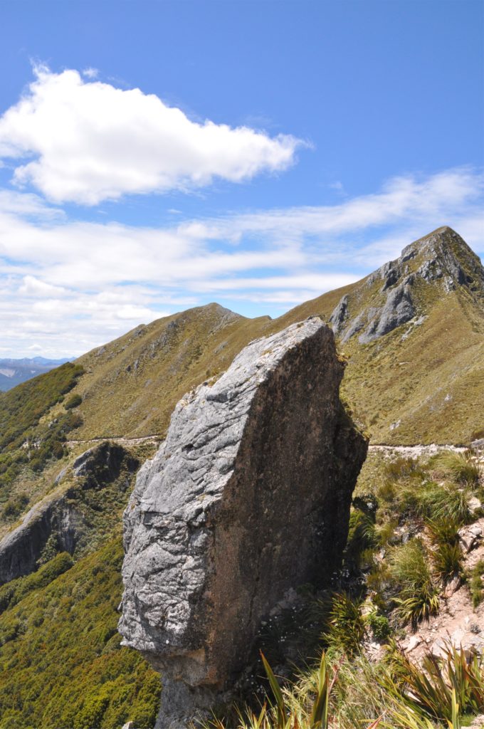
Although the original plan was for The Old Ghost Road to follow the historical route through the mountains, when the trail crews were not able to find an easy route through the dense bush in the valleys, they eventually looked at the possibility of building the track over the tops. Although more difficult because the fragile high alpine environment meant that they had to construct much of the track by hand, it certainly made for a stunning walk.
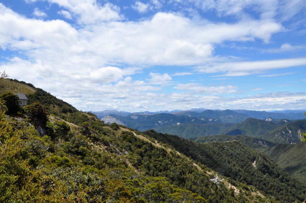
The track headed back into the bush for a while as we crossed another saddle, and a little while later we got our first view of our hut for the night perched on the hillside ahead of us.
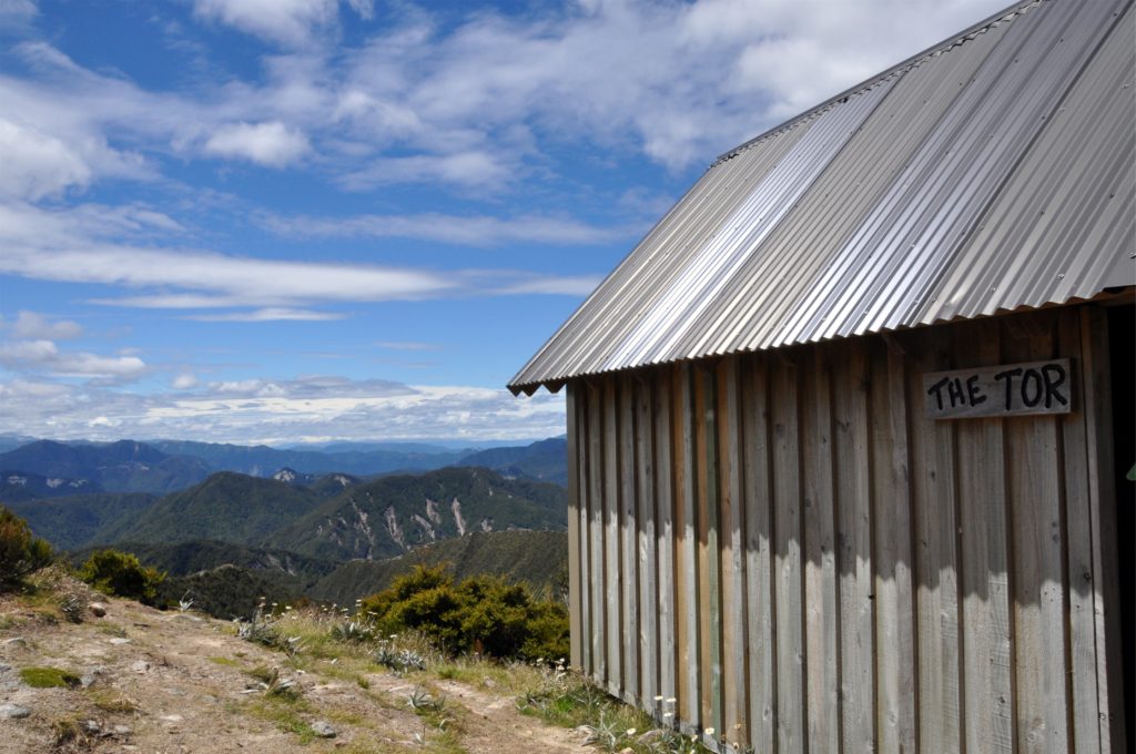
We had booked the trip well in advance which meant that we had our choice of sleepouts, it had certainly paid off because the view from our sleepout was pretty amazing. We sat for a while admiring the view and getting settled in before we decided to head out to explore the area.
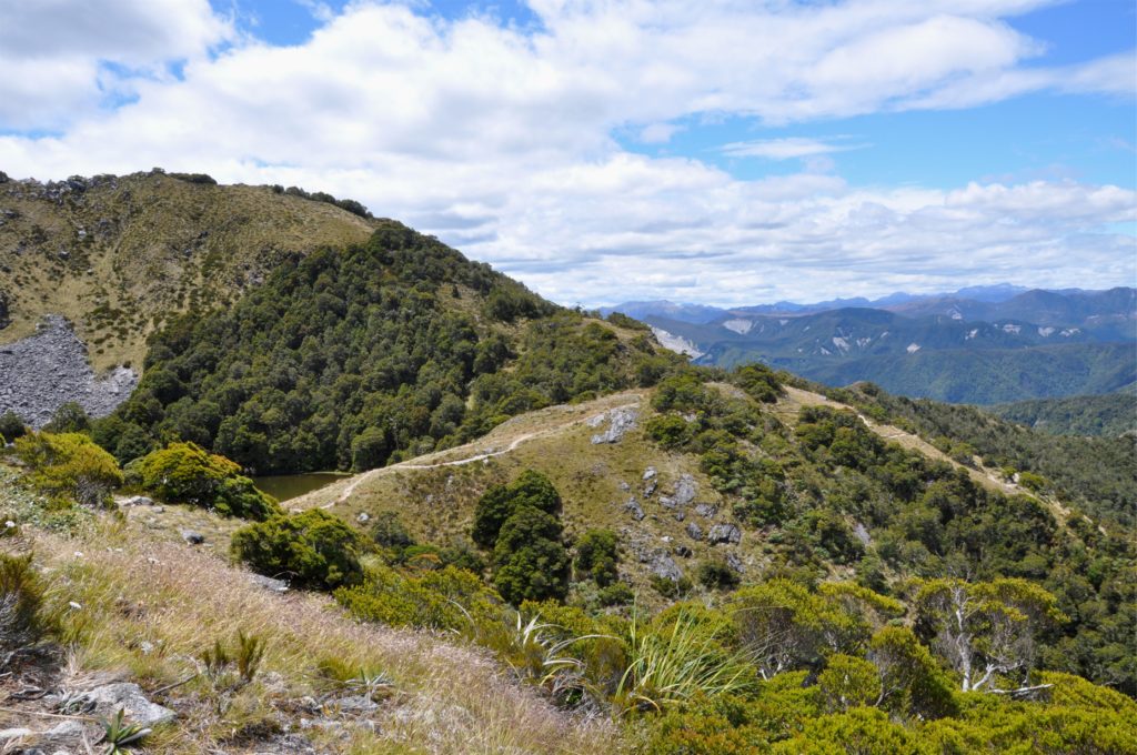
We followed the track down towards Ghost Lake, the tarn was unnamed until the trail builders for The Old Ghost Road came through and named the lake as they built the hut and track through this area.
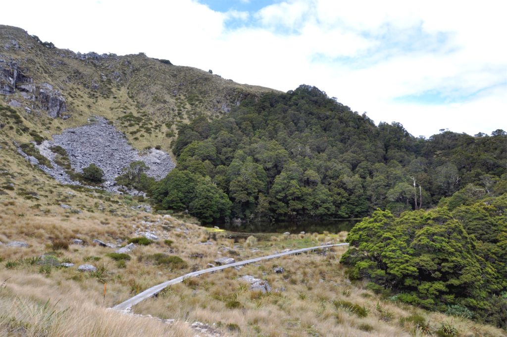
We passed the lake and decided to explore a bit of the track that we would be walking in the morning. Although we had another shorter day of hiking ahead of us, we knew that we would have a good amount of altitude loss and gain as we crossed into the upper section of Stern Valley.
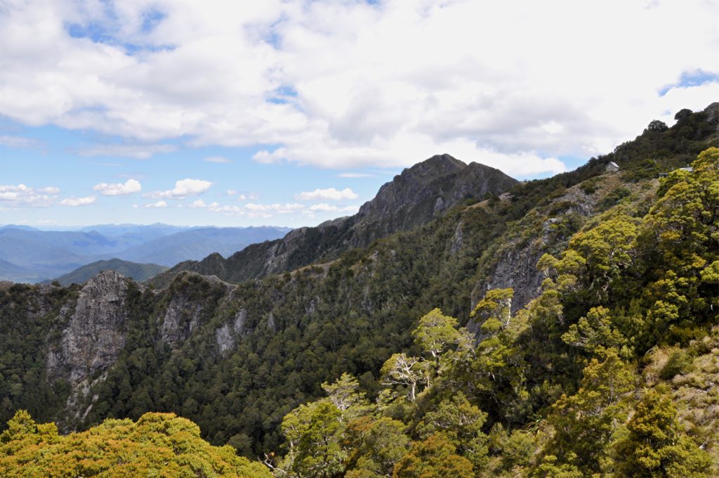
As we looked back we had a perfect view of our little hut perched high on the top of the cliff. On such a beautiful day, it was the perfect place to spend Christmas Eve, but perched on the top of a 100 metre (330 ft) vertical cliff it was definitely not a place for anyone who is prone to sleepwalking!
