Day four was our longest day of hiking, and although the majority of the day was going to be a gradual descent, we knew that twenty five kilometers (15.5 miles) of walking with packs was still going to be tiring. Luckily the clouds from the previous day had cleared and we were treated to another beautiful day. The upper Stern Valley was quite different to any of the previous landscapes we had walked through, with the valley floor covered in scrub bushes and wild pampas grass.
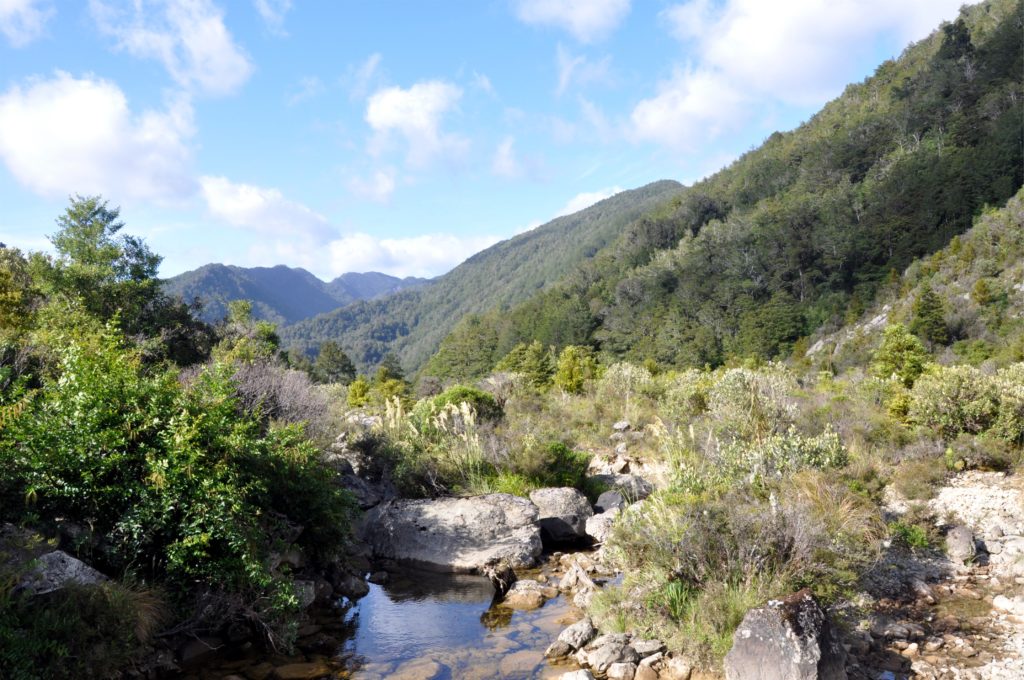
After crossing Stern Creek we came to the happily named Lake Cheerful. Although the lake lived up to it’s name, it was hard to be too cheerful, when we could see the track leading to the saddle in the distance that we knew we had to climb.
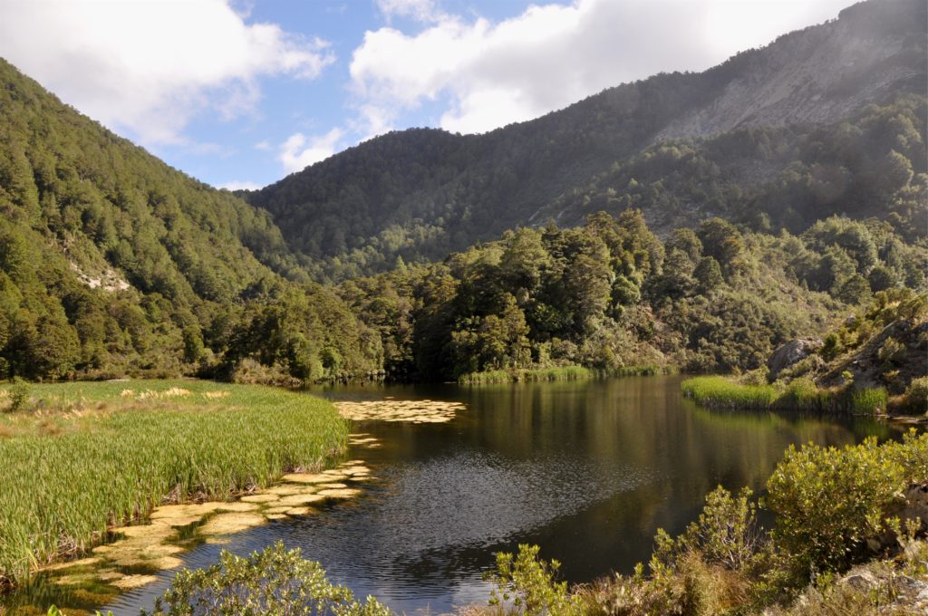
As we left lake Cheerful behind we started the slow climb out of Stern Valley, passing by Lake Grimm, which didn’t live up to it’s name in the early morning sunshine.
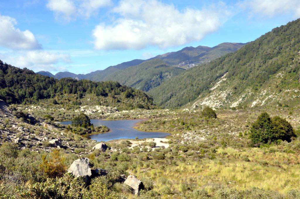
We made good progress zigzagging our way up out of the valley on the rocky track that clung to the hillside. Just before the trail entered into the forest again, we had one last view back down the valley and over towards Skyline Ridge in the distance.
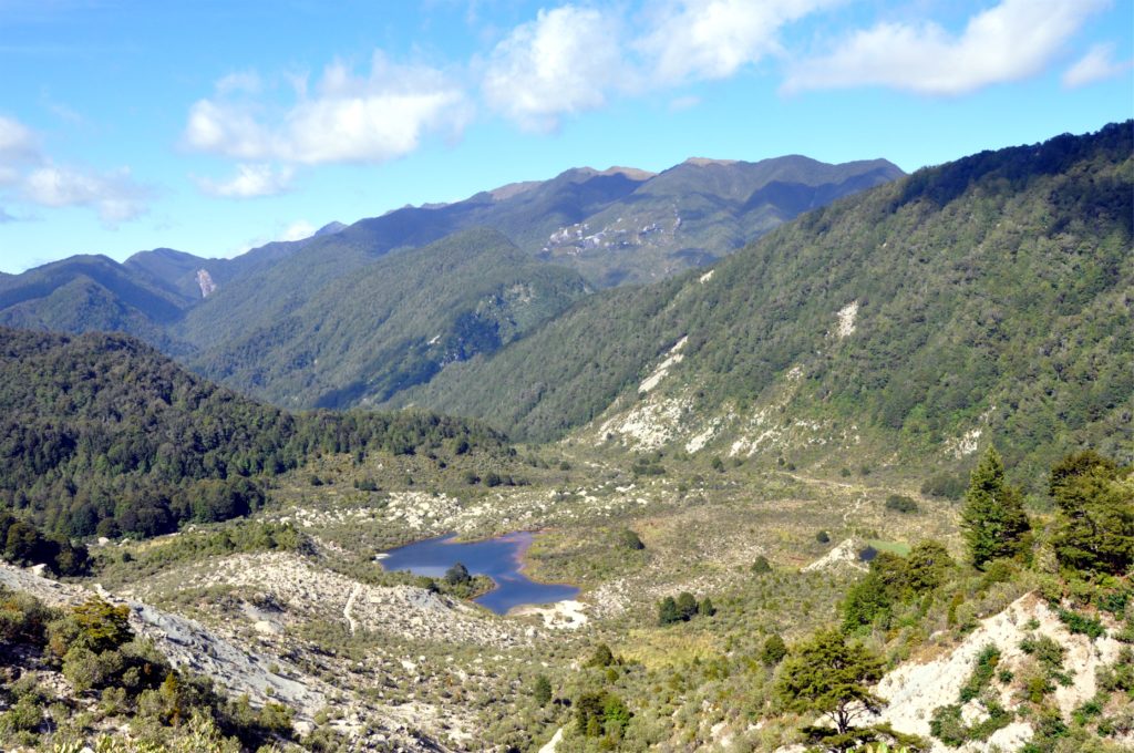
Once back in the forest, we were pleased to have some shade for the final part of the climb, as the day was already starting to warm up. We reached the top and immediately started our descent into upper Goat Creek Valley.

We continued dropping down into the valley and eventually the bush started to open up and we got the occasional glimpse of the valley below us. We found a couple of large boulders just off the trail and stopped for a while for morning tea.
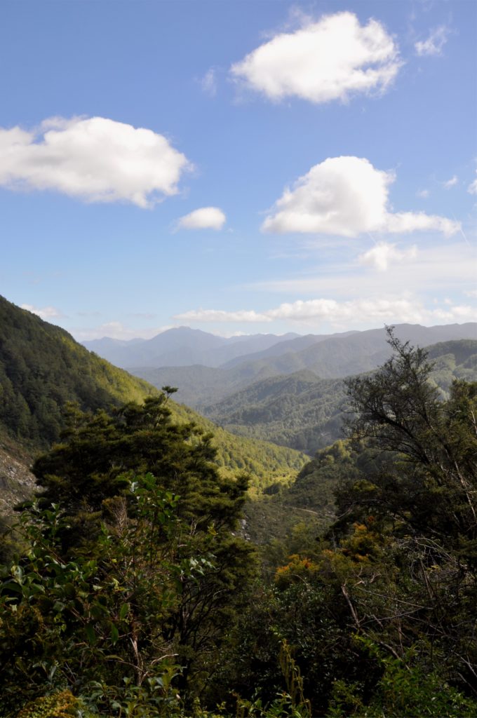
The track followed Goat Creek for a while, dipping in and out of the forest and crossing through sections of grassland. Eventually Goat Creek merged with the much larger South Branch of the Mokihinui River, the upper reaches of the final river we would follow on this track.
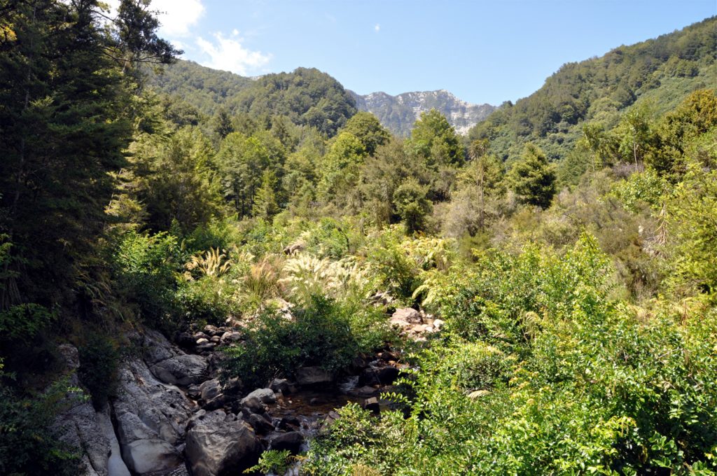
A short distance after joining the South Branch of the Mokihinui River, we came across an unusual swing bridge. Although seeing a metal bridge stretched across a river is no longer an unusual sight for us when out tramping, seeing the large metal gate was something new.
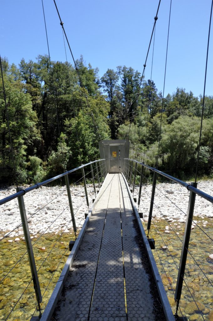
A small notice on the bridge explained the purpose of the gate; this area of forest is home to giant land snails (Powelliphanta lignaria unicolorata). These huge, carnivorous creatures are unique to this part of New Zealand but their numbers are in decline on one side of the river. It turns out that possums on this side of the river have developed a taste for the snails and have taught each other to feed on them. The hope is that the gate will prevent the possums from crossing the river and teaching the possums on the other side of the river to eat the snails.
After crossing the river, and carefully closing the gate, we settled on the rocks by the side of the river to enjoy our lunch. Having made good time on the first section of trail, we took a while to relax in the sunshine knowing that the hardest part of the trail was now behind us.
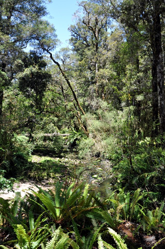
As we made our way along the banks of the South Branch of the Mokihinui River we were once again in dense forest. Ferns lined the track next to the small creeks we passed, taking advantage of the small amount of sunlight that was able to penetrate this part of the forest.
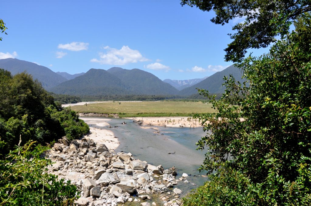
The valley started to open up as we came to the confluence of the North and South Branches of the Mokihinui River. The area, known as Mokihinui Forks, was once productive farmland, however the 1929 Murchison earthquake formed a natural dam just below the river confluence, the resulting lake flooded the area, creating a lake that existed until the 1940’s.
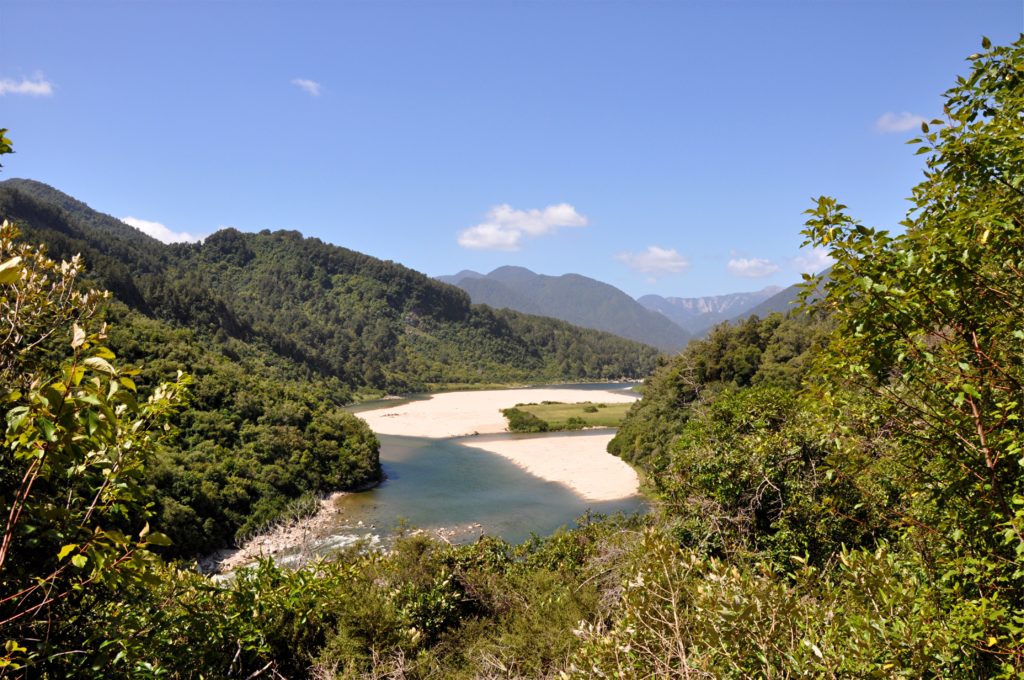
Later, in the 1960’s and 70’s, the area was used as an airstrip for deer culling operations. Apparently wreckage from some of the rougher landings can still be found amid the sand in places.

We continued down the Mokihinui River valley to our final hut for the trip at Specimen Point. Once again our cabin was nestled in amongst the bush in the shadow of the Glasgow Range.
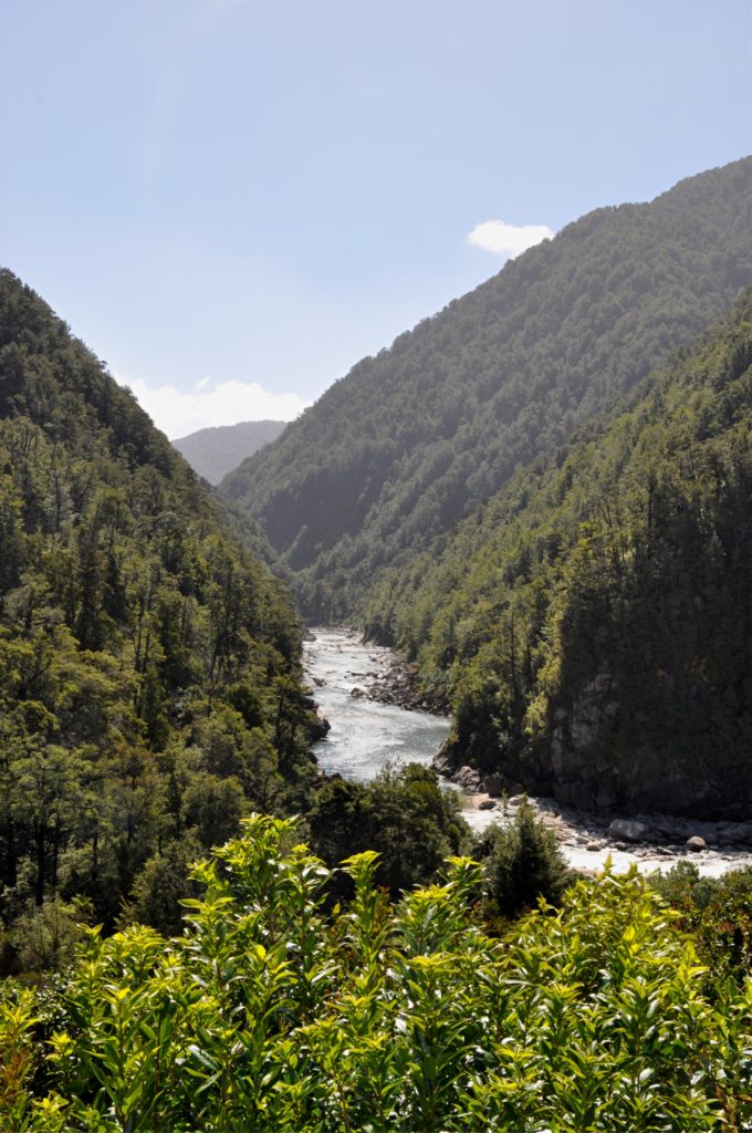
After sitting on the deck of the hut for a while listening to the roar of the Mokihinui River below us, we decided to head out for an adventure to try and reach the river for a swim. As we tried to make our way through the dense bush, we gained a new appreciation for the difficult work route finding and track making was in this area. We eventually made it to the banks of the river and Eric bravely took, what must have been the quickest swim in history, which gives a good indication as to the temperature of the water!
