The main reason for our trip to Glenorchy was that we had finally been able to get reservations to walk the Routeburn Track. The Routeburn is one of New Zealand’s ‘Great Walks’, that, according to the marketing are “multi-day hikes that showcase the spectacular scenery and diversity of New Zealand”. Having already completed a couple of the Great Walks, the Kepler Track and the Rakiura Track, we knew we would be in for some stunning scenery. With the Routeburn Track booking almost a year in advance, we had our fingers crossed that despite being late in the season we would have just enough good weather to be able to enjoy the views from the track.
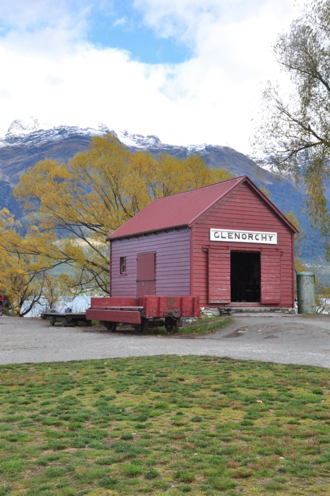
After a day relaxing in Queenstown, picking up our tickets for the track and trying to keep out of the storm, we were pleasantly surprised when our first day on the track dawned dry. With a short day of walking scheduled, we took our time getting to the trailhead and stopped off at the Glenorchy wharf to enjoy breakfast overlooking the lake.
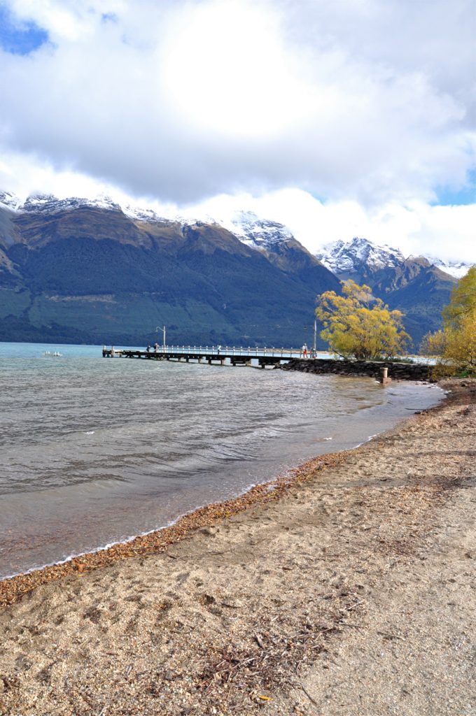
As the clouds lifted we were a treated to a view of the surrounding mountains covered in a fresh layer of snow. Of course our delight was mixed with a little trepidation as these were the same mountains that we were planning on spending the next few days hiking in.
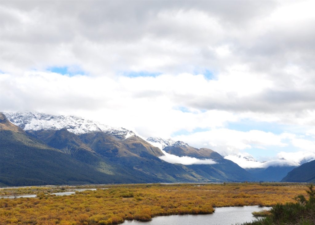
The Routeburn Track crosses the Humboldt Mountain range, coming out near Key Summit some 325 kilometers (over 200 miles) away by road from the starting point. Our plan was to cut off the final 3.5 kilometers (2 miles) of the Routeburn and join up with the Caples Track which would bring us back across the Humboldt Mountains, coming out a little further along Lake Wakatipu. We made our way over to the car park at the end of the Caples Track and waited for a shuttle to take us to the start of the Routeburn Track. From the road we were able to look out towards the Dart and Route Burn valleys and were pleased to see the low morning cloud already starting to burn off.
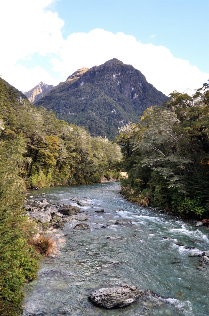
The first section of the Routeburn Track climbs up through the Route Burn Valley; the Scottish immigrants that settled this area named many features using the Scottish term ‘burn’ for many of the rivers.
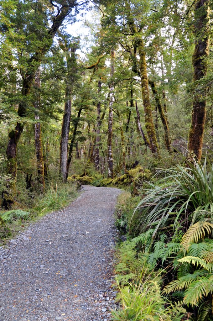
This first section of track is a popular day walk and the beautifully graded trail made for an easy start to the walk as we wove our way through the lush, dense forest.
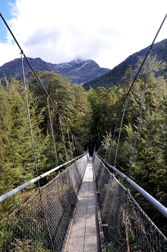
The track eventually joined the Route Burn, and we walked alongside the river for a while before eventually crossing the river. From the middle of the swing bridge we were able to take advantage of the break in the trees to look further up the Route Burn valley.
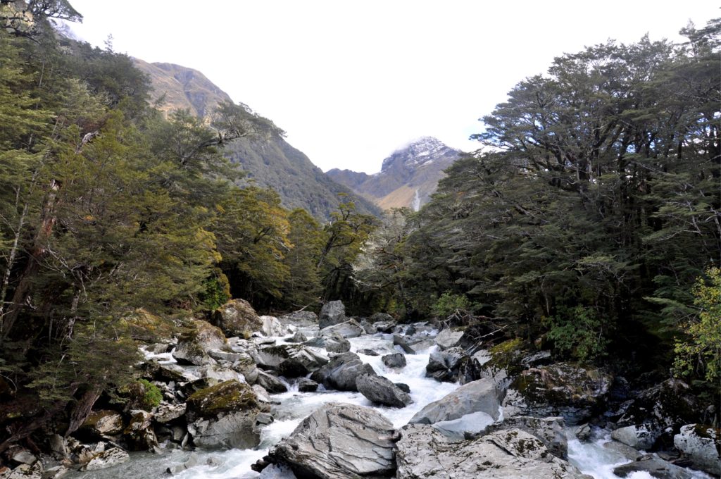
The track continued on in the trees, and we were able to make steady progress as we climbed further up into the valley. We crossed a couple more side streams and marveled at how clear the water was; it felt as though you could see every single rock on the stream bed.
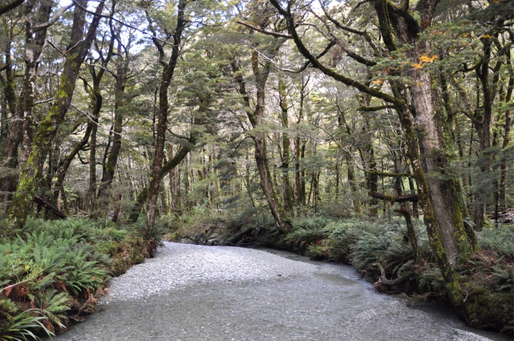
A little while later the track came out of the forest into the Routeburn Flats, it was nice to get out of the trees for a while to be able to appreciate the scenery. We found some rocks by the side of the trail and had a snack, soaking in the last of the autumn sunshine.
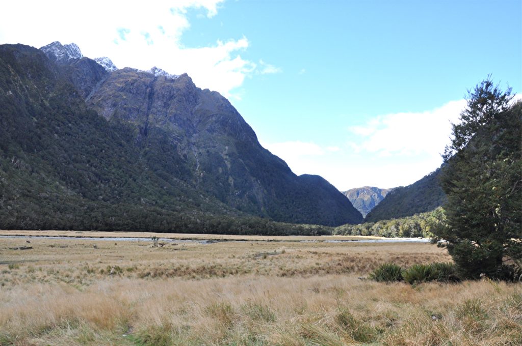
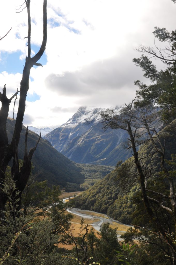
From Routeburn Flats the trail started to climb more steeply towards our destination for the night; Routeburn Falls Hut. Once again we were in the trees for much of the climb, however just over halfway up a slip had cleared the trees meaning that we were able to get a glimpse of the valley below us.
A little while later we arrived at the Routeburn Falls Hut and after getting settled and finding a bunk for the night we decided to head a little further up the track to explore the Routeburn Falls.
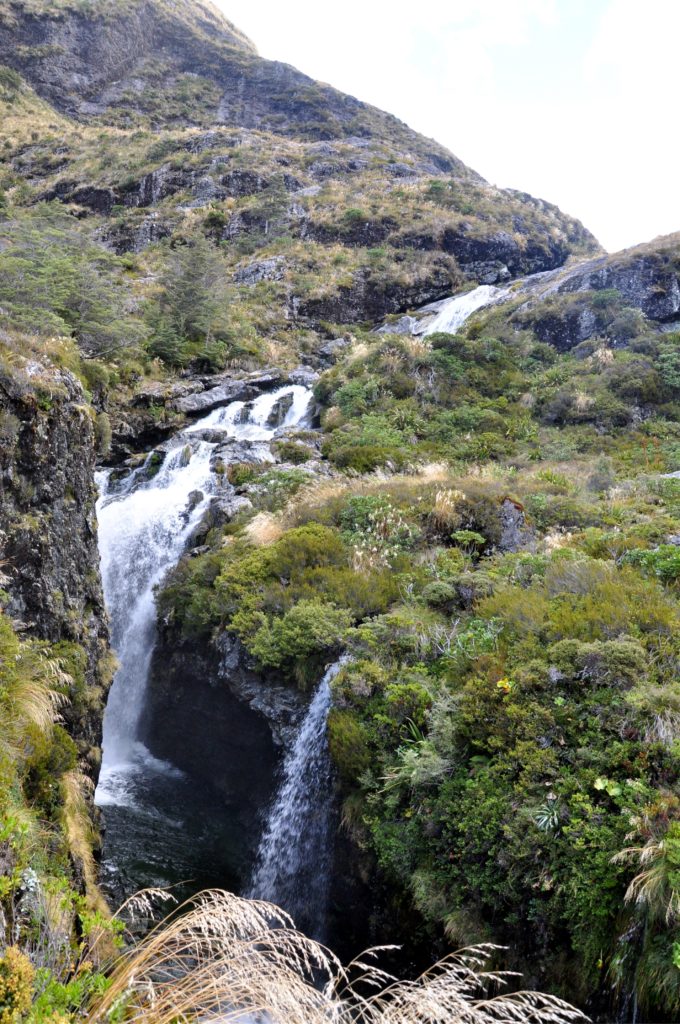
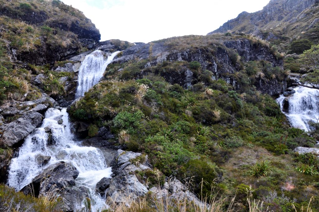
The falls were not really a single cascade, just a jumble of different falls that seemed to be pouring out of every possible section of the mountainside. We spent a while exploring each of the different sections before heading back down to the hut to settle in for the night.
The hut was perched on the edge of the hillside with a beautiful deck overlooking the Route Burn Valley. The late evening sunshine that was still catching the peaks of the Humboldt Mountains meant that the view was constantly changing.
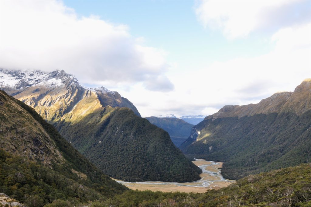
After watching the view for a while, we made our way back inside the hut to cook dinner and get some rest ready for our next day of hiking that would take us up and over Harris Saddle, the highest point on the track.
