Whenever we head over the hill into Governor’s Bay we always look out towards Quail Island to gauge the tide. Situated in the Lyttleton Harbour / Governor’s Bay inlet, Quail Island is a small, uninhabited island that is a DOC reserve. At one point the island is only separated from the Banks Peninsula by a small channel at low tide, however it is only accessible by boat. Despite the island’s small size (just 81 hectares / 200 acres), it has had quite a varied history making it an interesting place to explore.
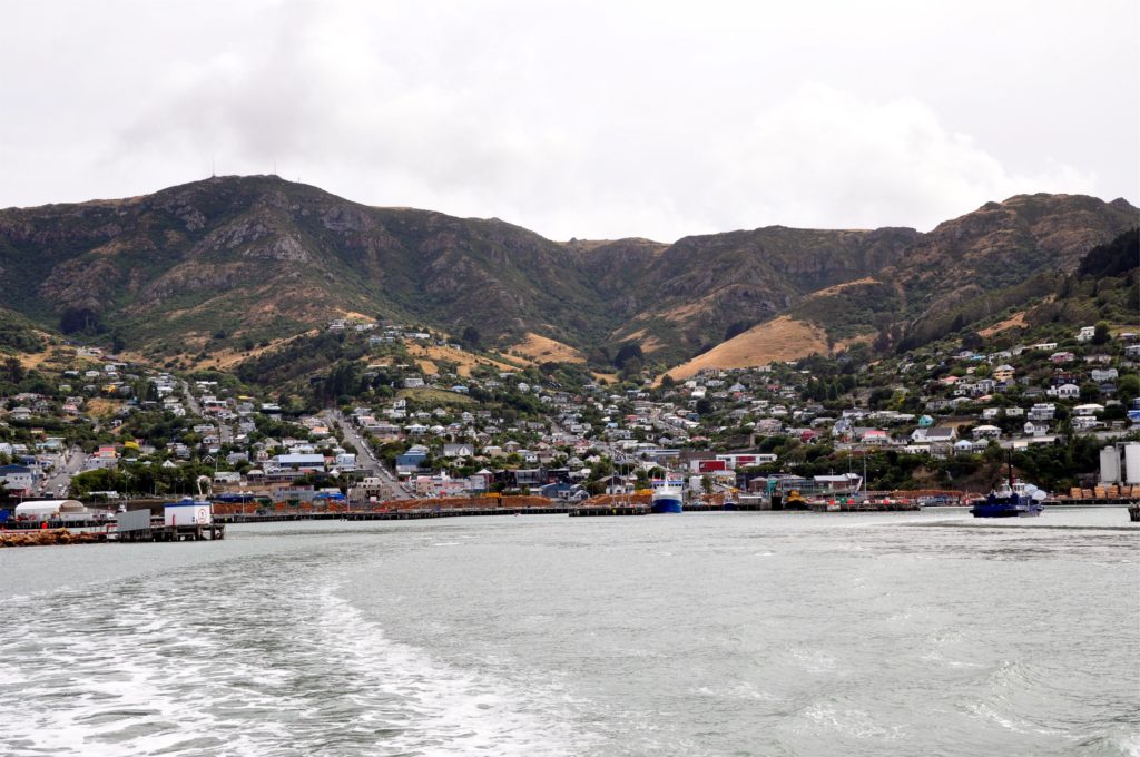
We drove over to Lyttleton to catch the ferry to Quail Island, stopping briefly in the old town to visit the farmers market. The ferry left from the main harbour in Lyttleton and as we pulled away from the dock we had a great view of all the commercial ships a well as the town of Lyttleton perched on the hillside just below the crater rim (the city of Christchurch is just the other side of the hill).
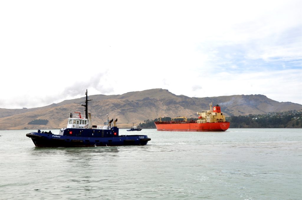
As we made our way out of the harbour we had to wait for the large fuel ship to leave the dock just in front of us. From our little boat we had a great view of the tugs guiding it out into the main shipping channel
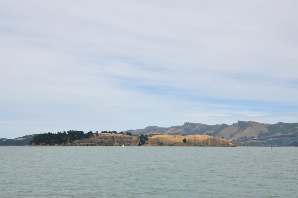
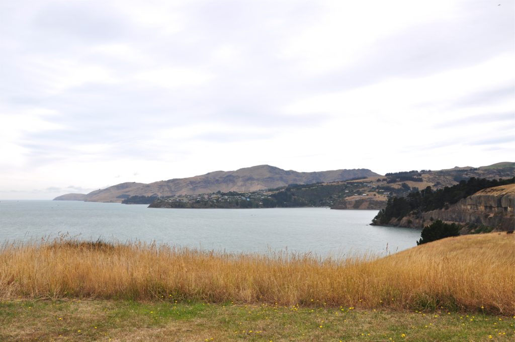
It was a short ride over to Quail Island and the crossing gave us a great view of the island, allowing us to get an idea of our hike around the island. Once we docked at the small jetty on Quail Island we made our way along the track that took us to the highest point of the island. From here we had great views out towards the headlands, we didn’t stop for long as we wanted to get to the far side of the island whilst the tide was still low.
We passed by the remains of an old homestead where they grew crops to sell in Lyttleton, taking them across the harbour in a rowing boat. From the old homestead we continued around the edge of the island towards the beaches on the Governor’s Bay side of the island.
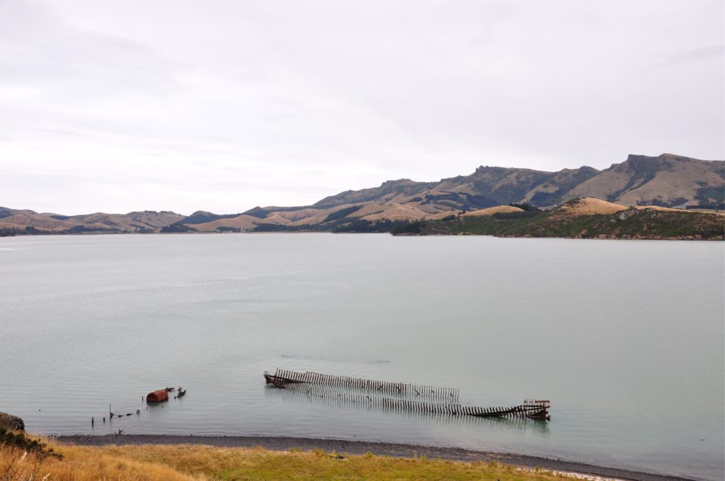
Although the tide was already starting to come in, from the track we were able to get a great view of the ‘ships’ graveyard’. From 1902 until the mid-1950’s disused ships were beached in the bay here. We could clearly make out the hulls of three ships, the steamship Mullogh on the left, which was the oldest boat here. Before it was abandoned here in about 1923, the steamer had taken miners to Hokitika as part of the 1870’s gold rush, as well as bringing the locomotive for New Zealand’s first railway.
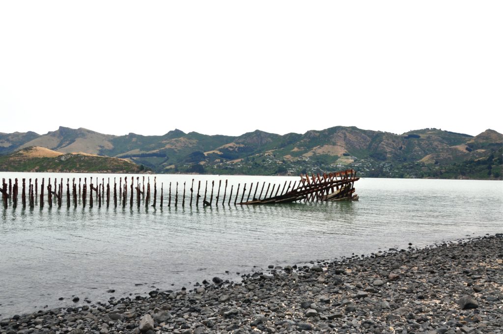
We made our way down the steep track to the beach to get a closer look at the boats. The largest vessel there was the remains of a barque originally build in 1865. This ship started life as a fast tea-clipper for the Orient Line before becoming an Australian immigrant ship. Eventually the boat was used in Lyttleton as a coal hulk, servicing the steamers.
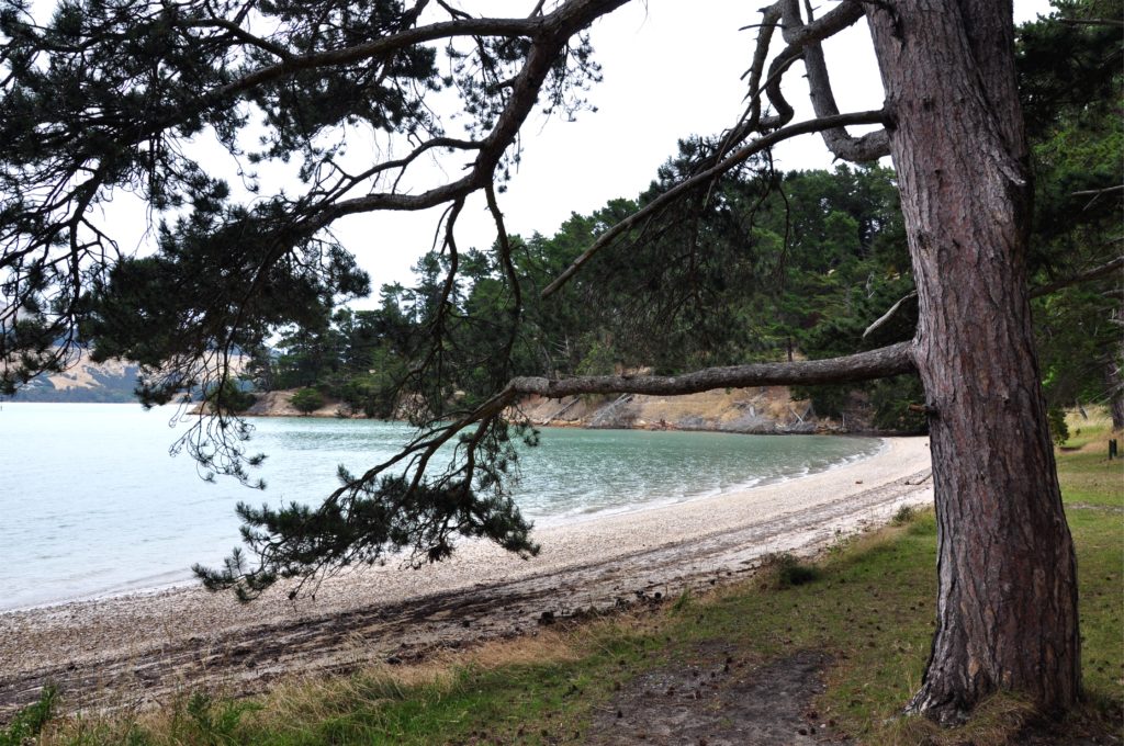
We continued around the island, passing a quarry that was used for ballast rock for ships returning to Britain as well as beaches that were used for collecting shells to be sold as poultry grit. As we continued around the island,we reached the former leper colony. The colony was only used for nineteen years housing just nine patients.
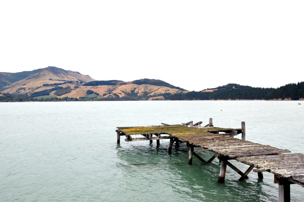
In addition to the leper colony the island was also used as a quarantine station for newly arrived immigrants to New Zealand as well as for training and quarantining animals used on the Antarctic expeditions. Both Shackleton and Captain Scott used the island for their dogs, ponies and mules and the old livestock jetty still remains, although it doesn’t look quite so sturdy these days!
As the wind started to pick up we made our way back around the island to the modern jetty ready for a rather bumpy ride back to Lyttleton.
