Despite being woken in the night by the cries of the Kiwi birds outside the hut, we were able to get another early start. After the windswept ridges of the previous day, our hike today once again took us through dense, green forest.
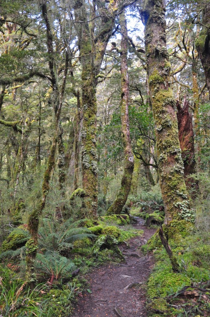
The gentle downward gradient and the soft forest track allowed us to make good progress as we followed the Iris Burn Valley down towards Lake Manapouri. After crossing a few small tributaries, we found ourselves in a wide opening known as the Big Slip, which was formed during heavy rain in January 1984. With the vegetation returning to this part of the valley, it gave us great views back up the valley.
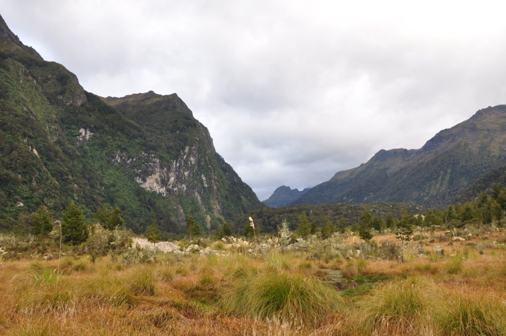
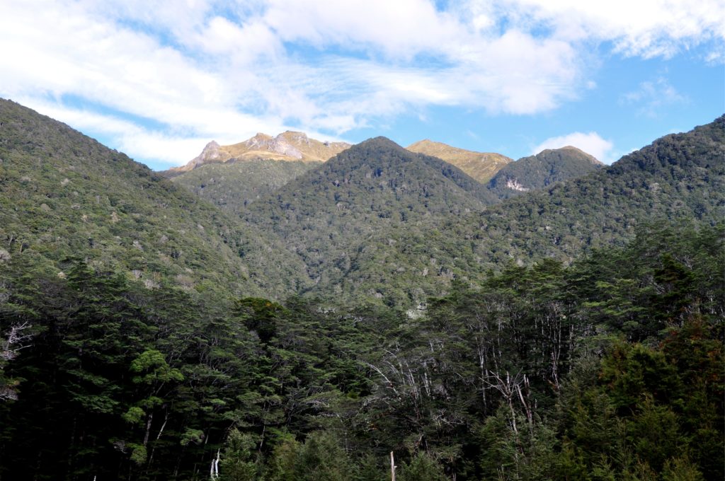
Approaching another clearing, we caught a glimpse of the upper slopes we had been crossing the previous day. With the clouds starting to build more heavily, we were glad that we had the more difficult section of the hike completed.
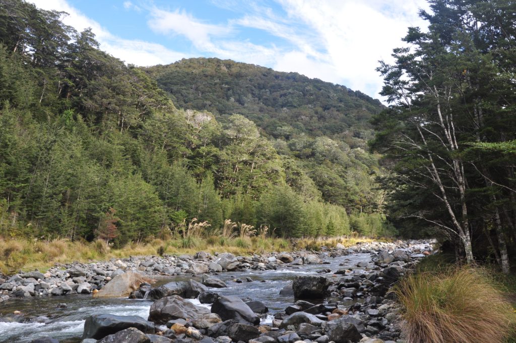
We continued to follow Iris Burn down the valley, occasionally the track would swing closer to the river and we would get a glimpse of the clear water.
We continued to make great time as we descended towards the lake. Despite knowing that we were making good progress, we were still pleasantly surprised when we spotted the shores of Lake Manapouri through the trees. We made our way around Shallow Bay and stopped on the grassy slopes in front of Moturau Hut for lunch.
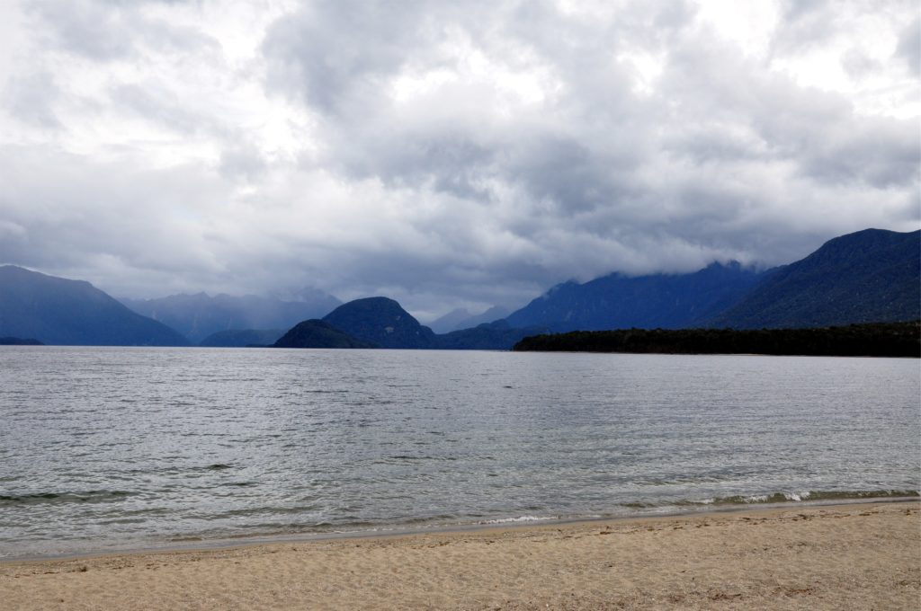
As we watched the clouds build over the hills in the distance we debated our options for the afternoon. We could spend a relaxing afternoon at the hut and walk out to our car the next day as planned, or we could make a dash for civilisation and be in Queenstown in time for a late dinner. With the sky starting to look ominous and figuring that our amazingly lucky break with the Fiordland weather was finally coming to an end we decided to continue hiking.
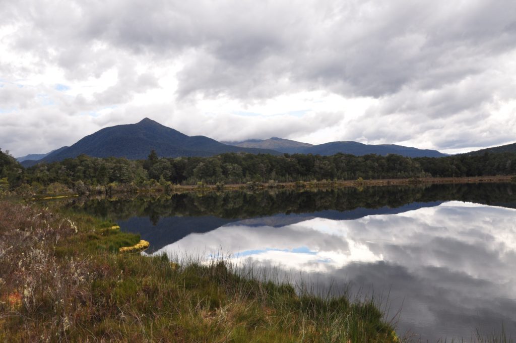
We spoke to the Ranger at the hut and after he assured us that the final section of the trail wasn’t difficult, we hauled on our packs again and set off. The landscape had changed again and we crossed several raised board walks through the mashes, as the countryside opened up we were able to look back towards Mount Luxmore where we had been the previous day, now completely shrouded in clouds. The track meandered past several small lakes before reaching the banks of the massive Waiau River.
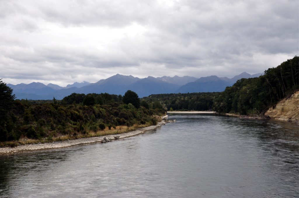
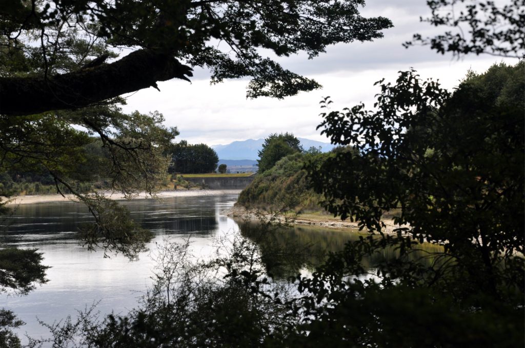
After leaving Eric and our rucksacks at Rainbow Reach, an alternative ending for the track, I continued along the banks of the river towards the carpark at the start of the hike. The trail wove through the Beech forest alongside the river making it very hard to gauge progress. Knowing that Eric was waiting at the other trailhead I went as quickly as I could over the roots that were growing across the trail. Luckily without my rucksack, I was able to cover the final section of the trail quite quickly, but I was nevertheless pleased to see the control gates for Lake Te Anau through the trees as I came around a bend in the river.
 After getting back to the car and picking up Eric, we started the drive home, looking forward to a good night’s sleep in our own bed. We stopped for well-earned giant burger in Queenstown before continuing on towards Christchurch.
